
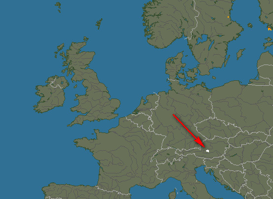
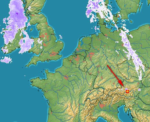
Flight from Shoreham EGKA to Zell Am See LOWZ, Austria, July 2015
Zell am See is a town in Austria, in the Alps.

This writeup is a simplified version of my normal ones in which I go into more detail of each trip.
Pilot
FAA CPL/IR, JAA/EASA PPL/IR, ~2000hrs.
Aircraft
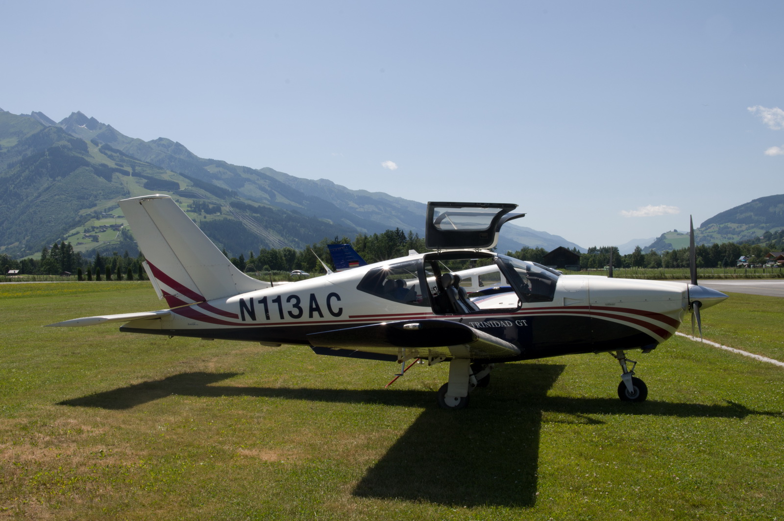
The aircraft is this 2002 TB20GT; one of the last made before production ended.
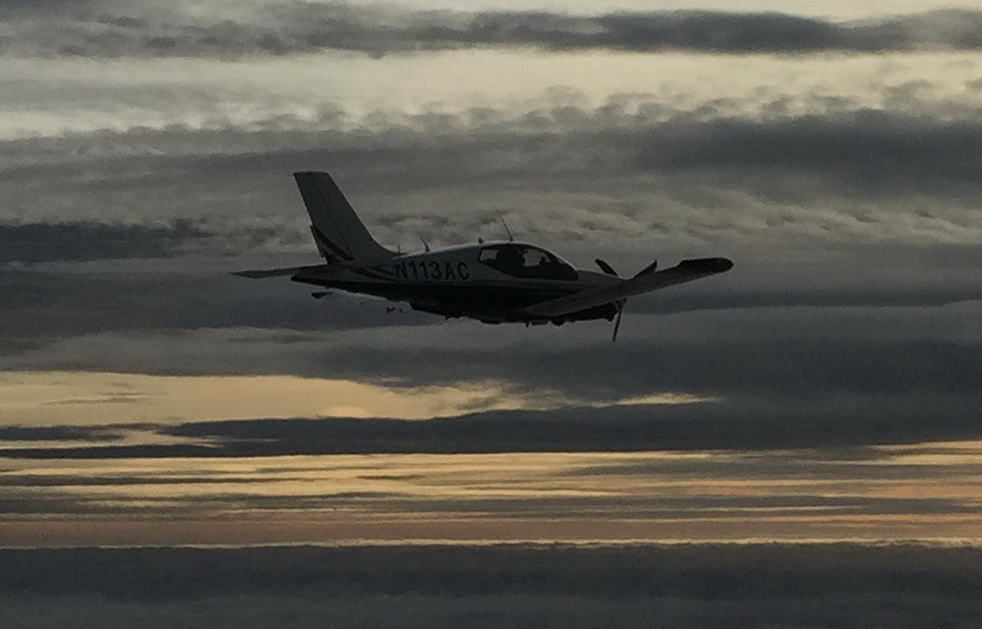
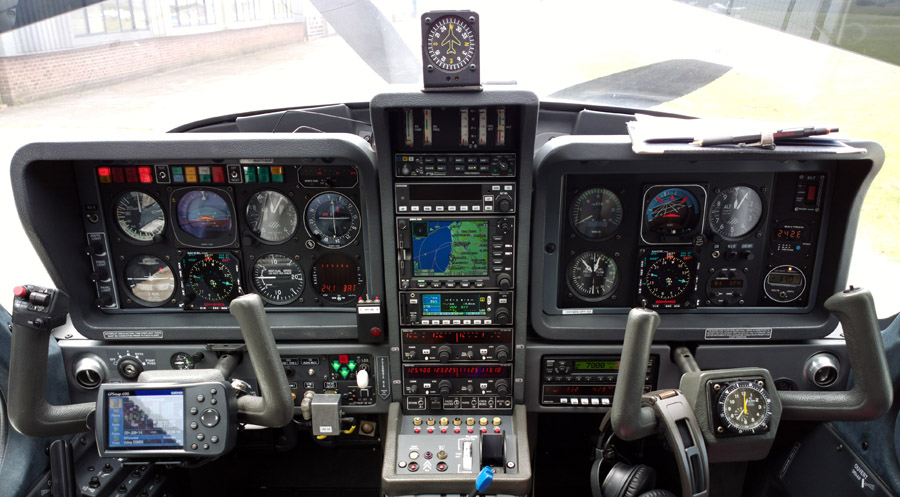
It is equipped for BRNAV (RNAV 5) and can fly ILS and GPS/LNAV approaches using the autopilot. This is sufficient for all practical European IFR flight. The cockpit is largely as delivered in 2002, with a Sandel EHSI installed on the LH side and with the RH side reworked with another EHSI and arranged to form a usable “pilot panel” so the aircraft can be flown from the RH side
There is no LPV approach capability but LPV is not yet operationally relevant in Europe especially if flying to/from the UK which normally needs an airport with Customs (Immigration, to be precise, though “Customs” is the word normally used in the international airport context, and very few countries have airports which have one function and not the other).
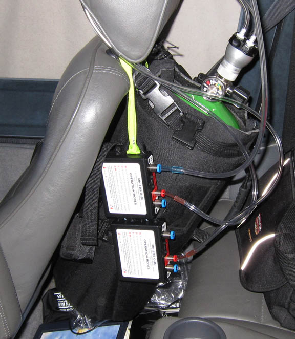
Oxygen is used on all IFR flights, with the Mountain High O2D2 electronic regulators and cannulas
In general, European IFR is only marginally feasible without oxygen, due to the minimum practical Eurocontrol routings. The two IFR legs on this trip were filed at FL100, which is my normal level when the weather is nice, and we were lucky that no higher climb was required. One can fly for hours at FL100 and it is legal but without oxygen one would end up very tired.
Routes
These were developed with the EuroGA autorouter which was also used to file the flight plans. This great facility is currently entirely free.
Since LOWZ is VFR-only, the flight plan has to be a “Y” flight plan, with a transition to VFR at the end
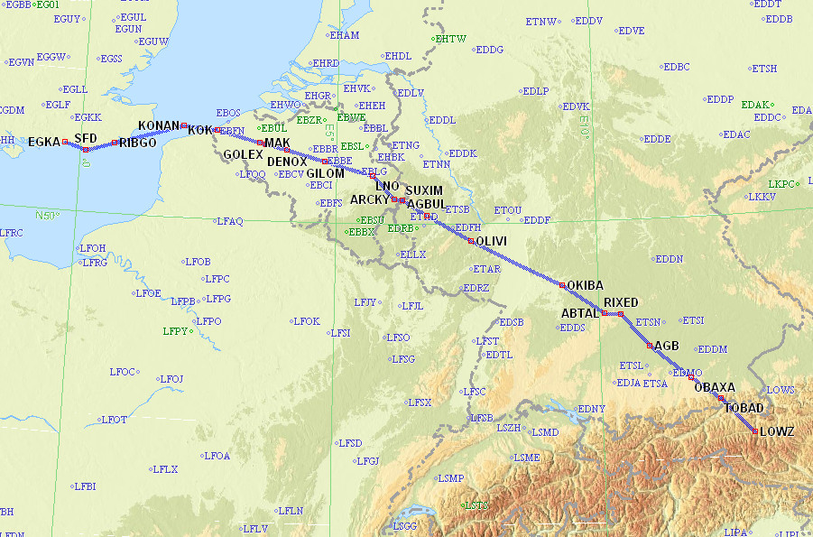
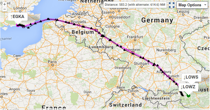
EGKA SFD DCT RIBGO DCT KONAN L607 SUXIM DCT AGBUL DCT OLIVI DCT MND DCT OKIBA DCT ABTAL L173 RIXED DCT AGB DCT OBAXA DCT TOBAD VFR LOWZ
FL100
GC: 555nm
Eurocontrol: 582nm
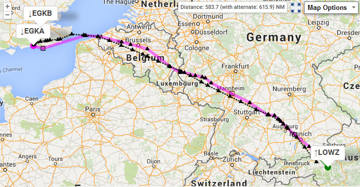
The return route was almost identical to the outbound route, which is very unusual in Europe. It started VFR so the flight plan had to be “Z”.
LOWZ TOBAD IFR DCT TURBU DCT MAH L173 ABTAL DCT OKIBA DCT MND DCT OLIVI Q762 LULAT Z104 TIPUT DCT SOPOK DCT GILOM L607 KONAN DCT SFD EGKA
FL100
GC: 555nm
Eurocontrol: 582nm
Airport PNR/PPR
The airport, LOWZ, has Customs so can be flown to directly from the UK. They need to be contacted two hours in advance with dates/times and the names of the pilot and passengers. The contact email is

At time of writing I have not been able to establish whether the two hour notice is required for intra-Schengen traffic also.
They also needed the two hours’ notice before departure. I was not allowed to take off until the exact time – in case the police turned up at the last moment. In fact the notice of the departure date/time was given before we arrived there, but apparently it was not actioned at the time.
Mountainous Terrain
Zell am See lies at the bottom of a deep canyon within the Alps. In principle this means it can be reached in two ways:
1) If there is no cloud cover, one can fly to some point above the canyon and then descend into the canyon and land. This is the easy way.
2) If there is cloud cover, one has to descend below it somewhere before the Alps and proceed underneath it, through various canyons. This is called “mountain flying” and needs a good understanding of the weather conditions within the Alps. It requires a specific minimum cloudbase, and a suitable canyon route must exist.
I planned for both options.
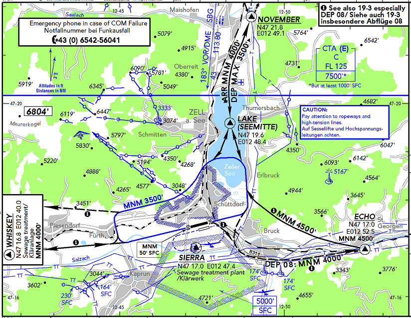
This is the VFR chart which shows the general area
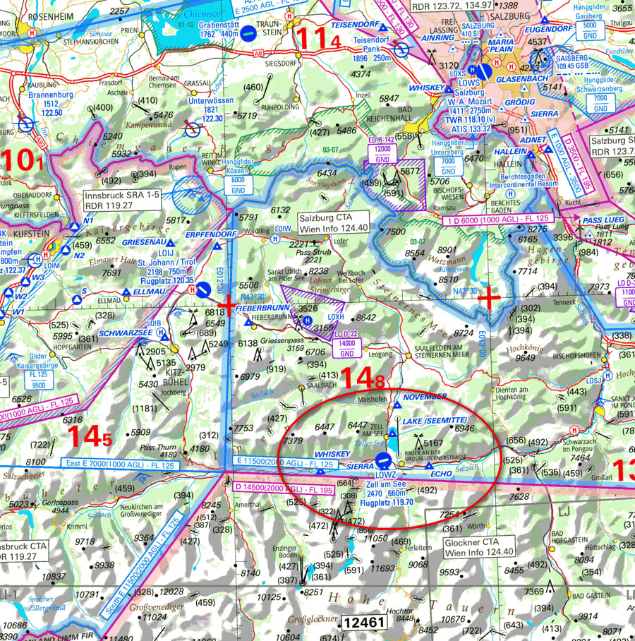
Below is a topo map, generated from Google Terrain using a map generator tool called Mobile Atlas Creator. I have generated this data for the Alps and the Pyrenees and run it under Oziexplorer, for flights where I have to cross the mountains above an overcast. Without such a map depiction, an engine failure would be pure Russian Roulette…
The map shows three routes. The Salzburg one contains terrain up to about 3000ft and requires a minimum cloudbase of 5000ft AMSL. It is also quite narrow in places. The St Johann route is favoured by some locals and is wider but needs the same cloudbase. The “FL100 descent” route is the easiest one – you simply descend into the canyon on a track of about 090 directly towards the airport – but it needs no (or almost no) overcast, unless you are happy with a reduced life expectancy 
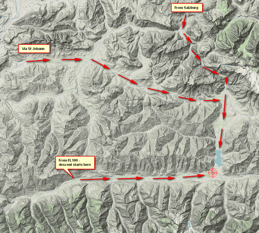
I printed out the charts for all options but on the day did the FL100 descent because the conditions were practically cloud-free.
The departure presents the same issues, but it is rather easier because it is fine to depart to the west on a climbing track, along the west-east canyon shown above, if there is only a thin cloud layer and the temperatures are such that there is no possibility of icing up and being forced to descend back down… To the north of that canyon the terrain reaches around 7000ft. The TB20 can reach 10000ft within 20nm i.e. within the length of that canyon, with adequate margins for nonstandard temperature etc.
Outbound Flight Shoreham – Zell am See 10th July
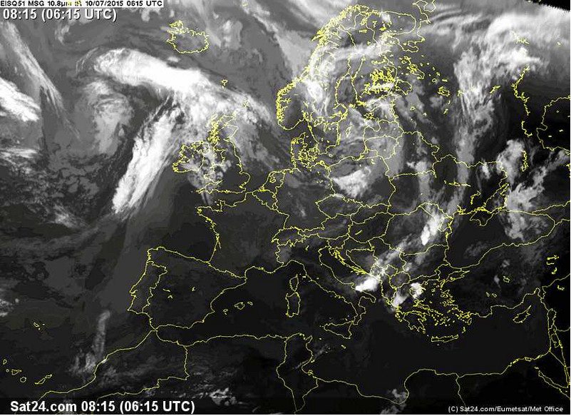
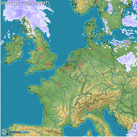
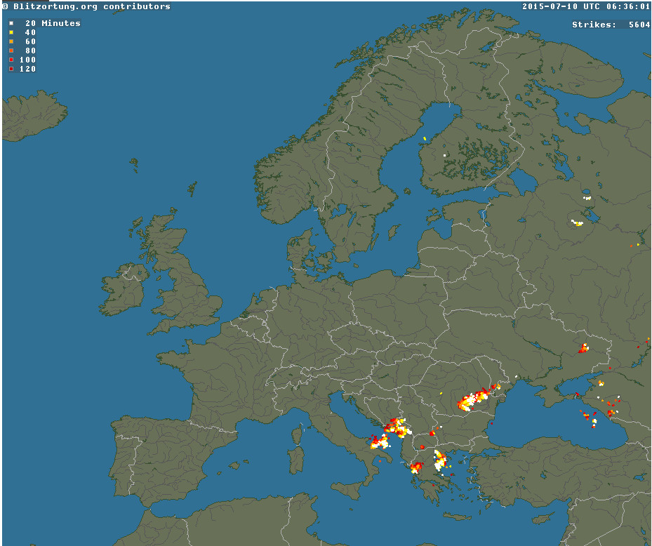
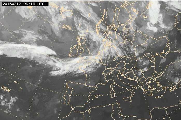
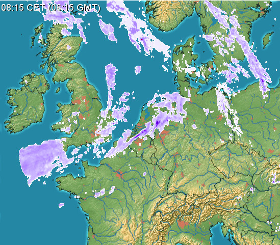
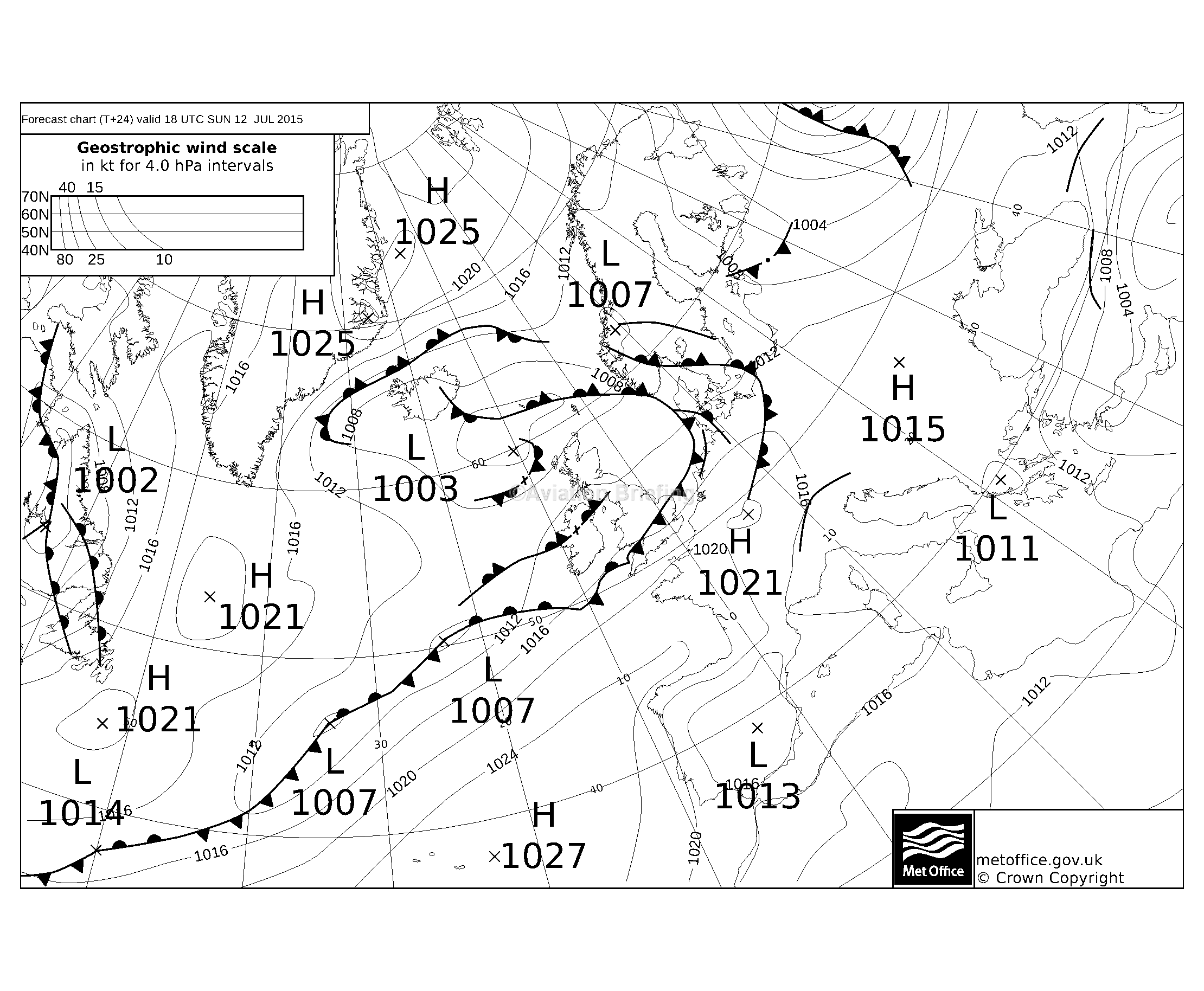
The departure weather was good: TAFs/METARs IR Image MSLP Radar Sferics
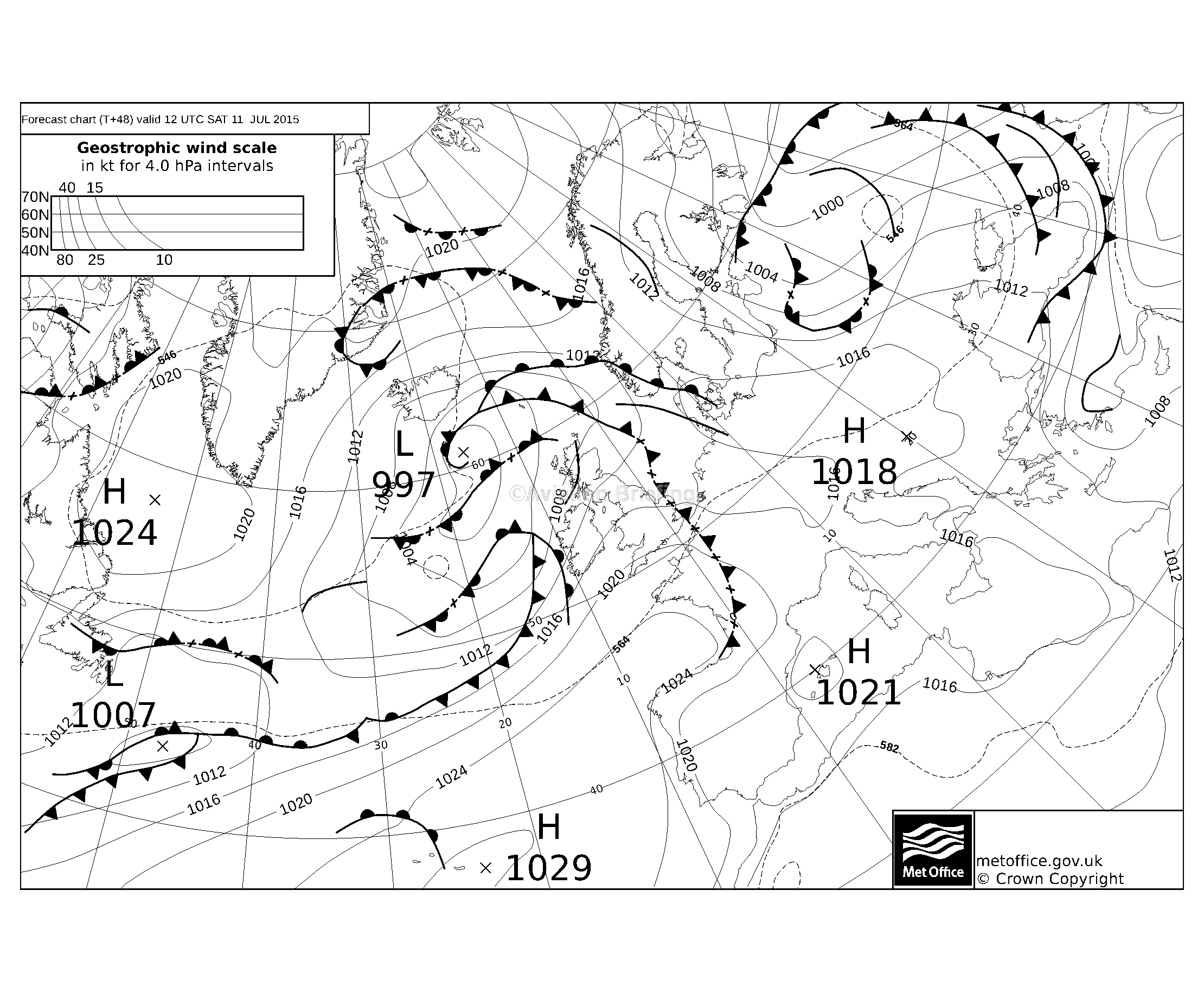
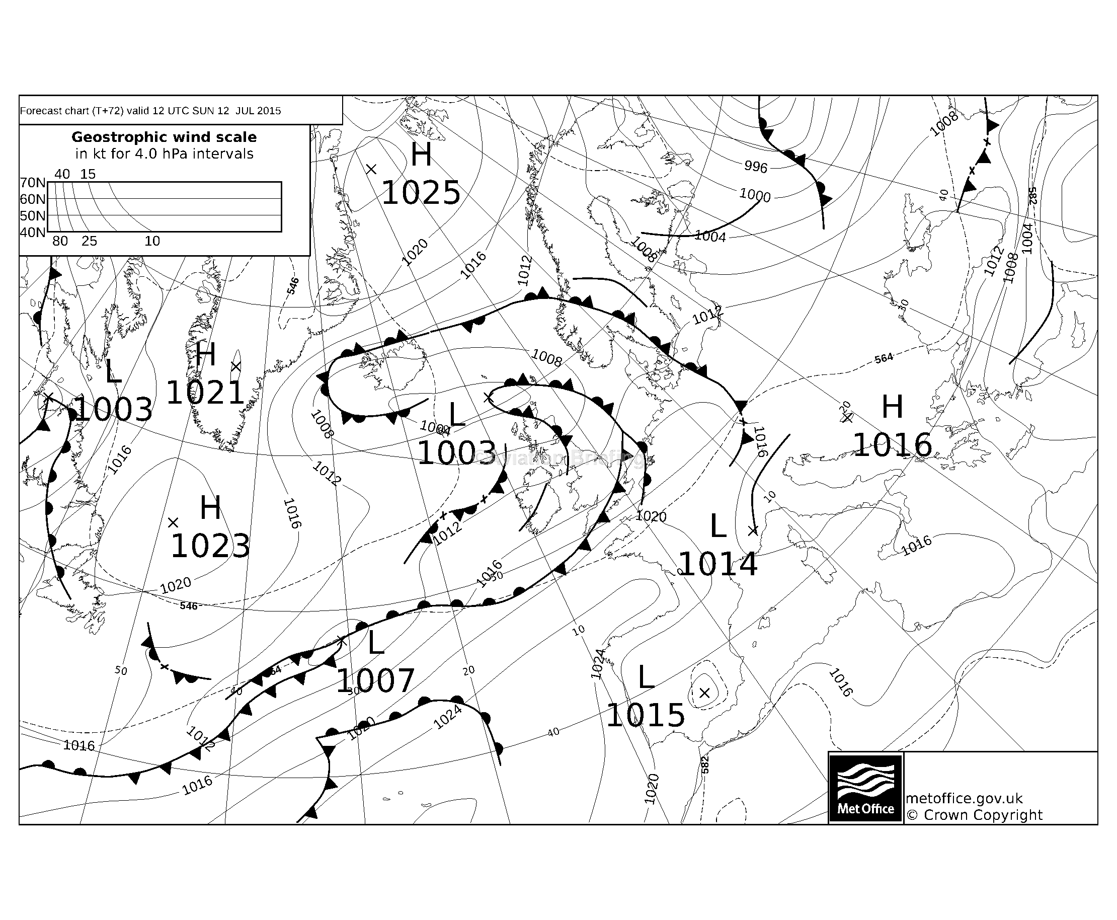
On any nontrivial trip one has to look at the options for getting back on the planned return date, and what does the picture look like for subsequent days in case the return has to be delayed.
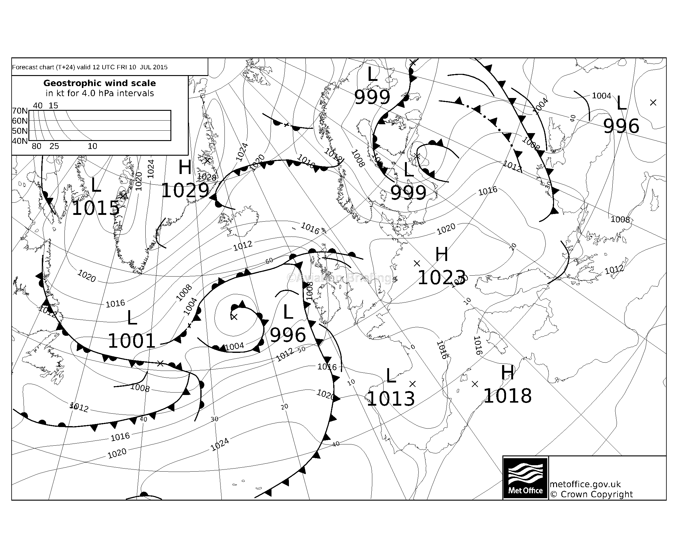
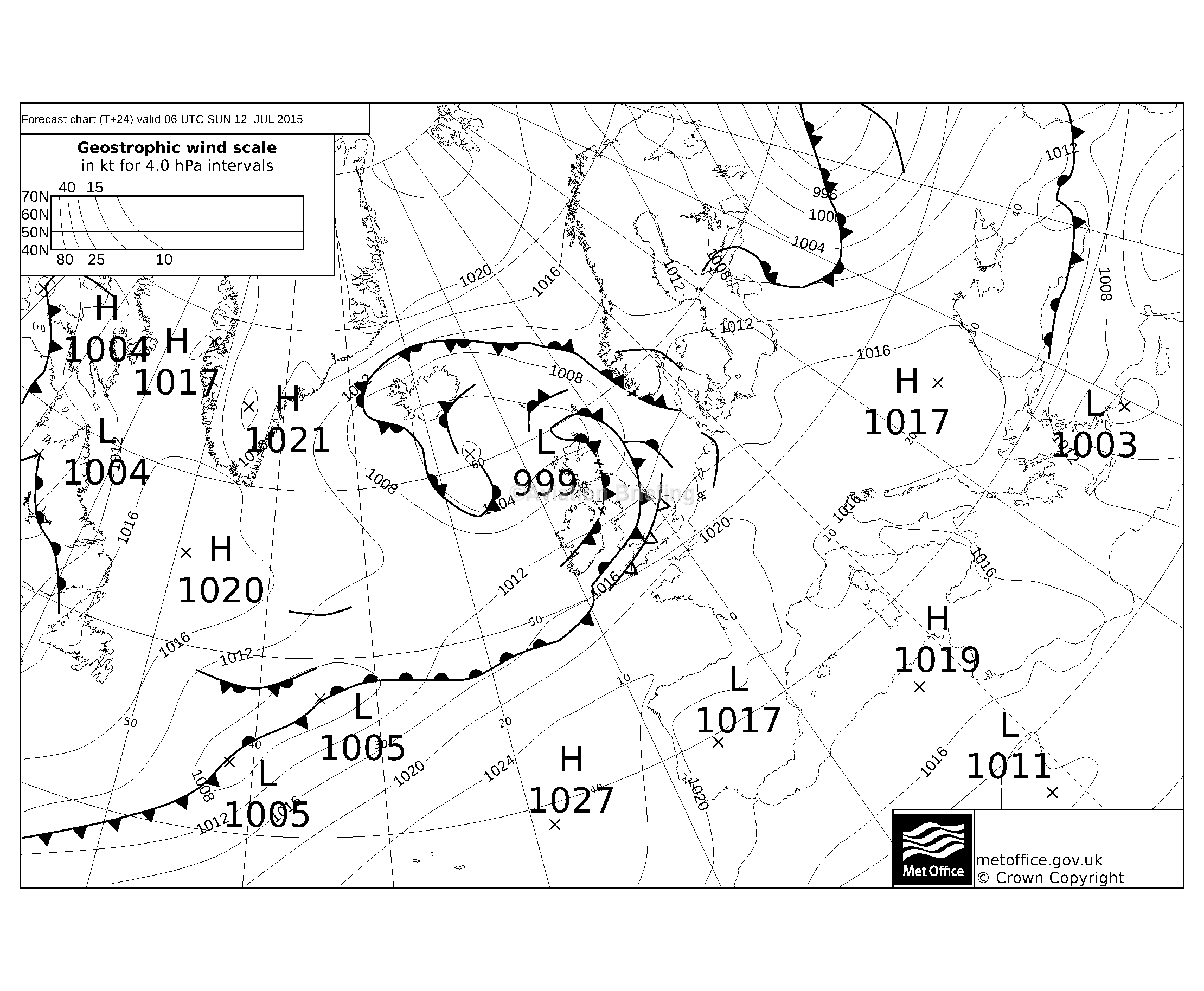
For the “main day” at Zell am See, 11th July, the MSLP looked fine.
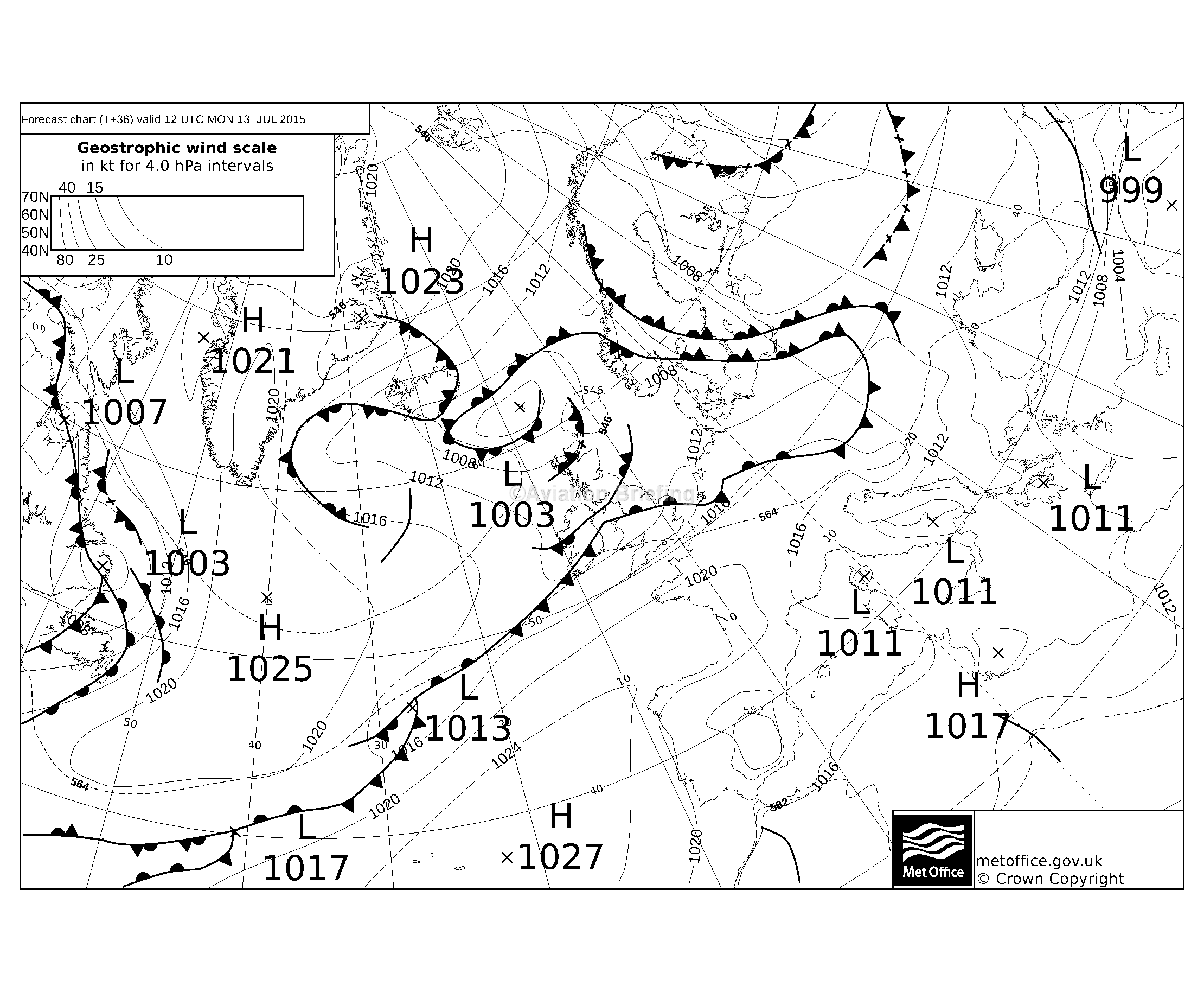
For the return date, 12th July, the MSLP showed bad weather back at the UK end, and the plan for dealing with that was to return to the UK at a low level if necessary. The 0C level was forecast to be around FL100 and once over Belgium the terrain is very flat so a flight in IMC is fine. Then one would look at the TAFs and METARs (and I can get these over the satellite phone, or over the Telegram weather service mentioned later in this article) and either fly an instrument approach into Shoreham or divert to Biggin Hill, Lydd, Bournemouth, etc as necessary.
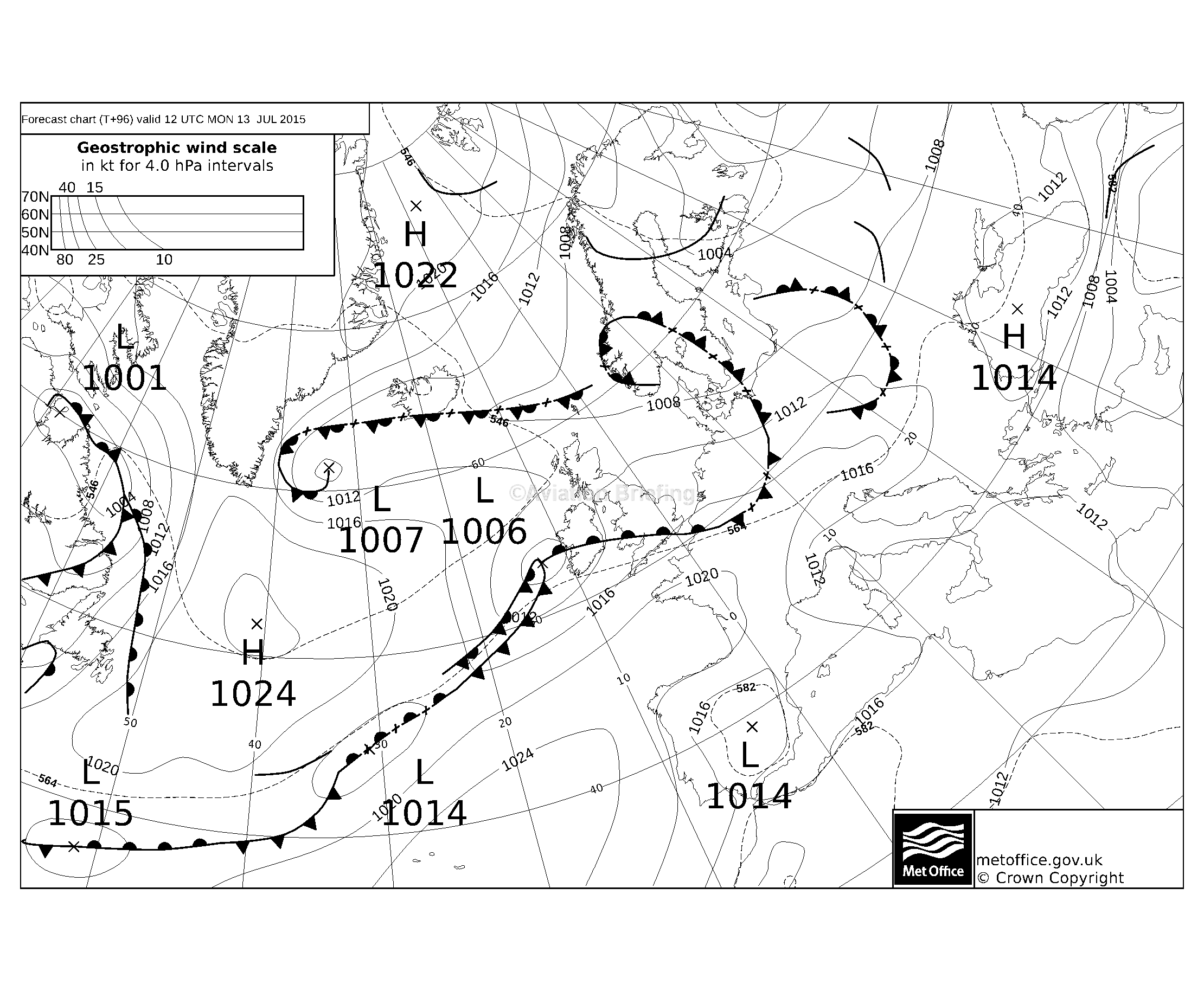
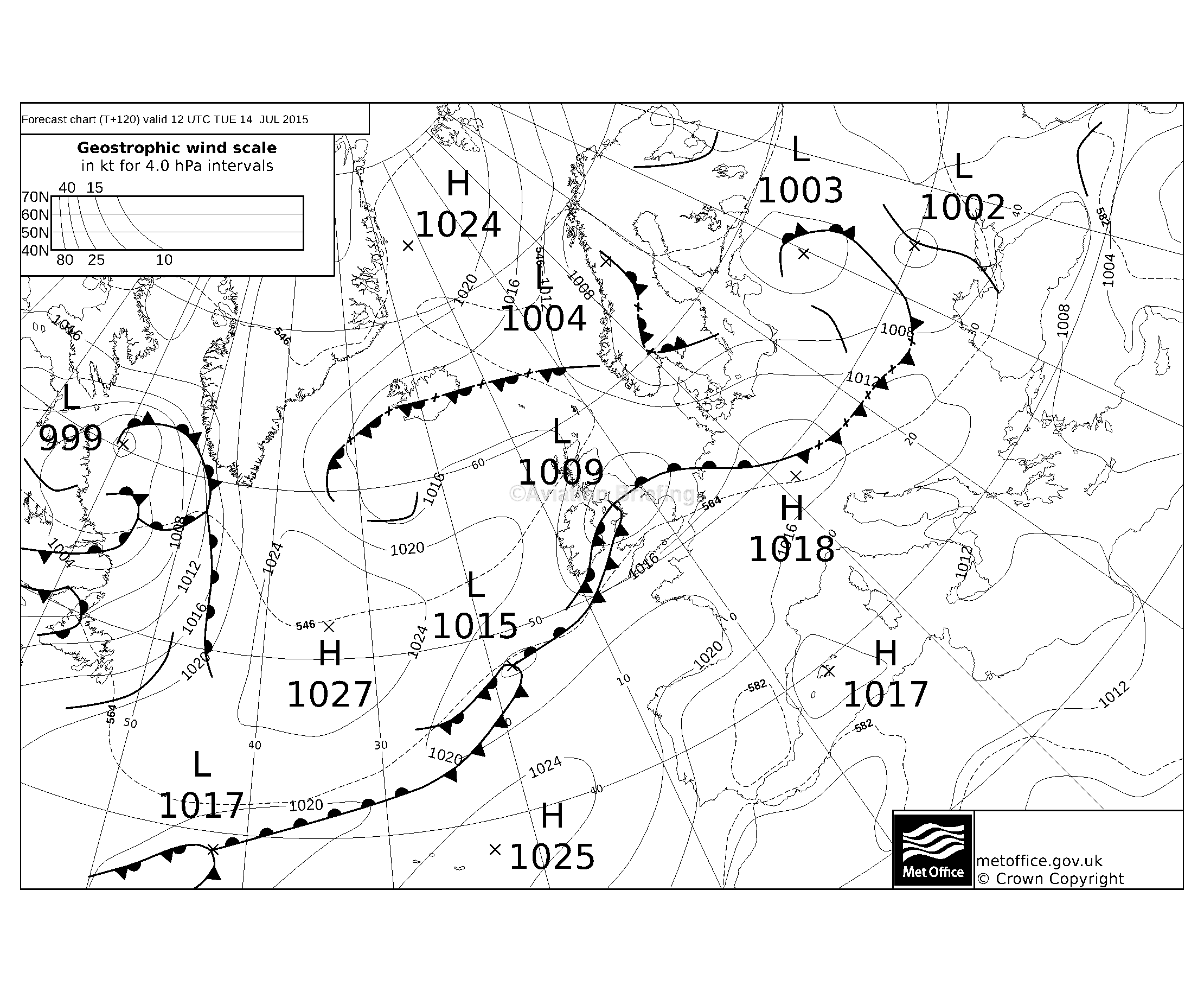
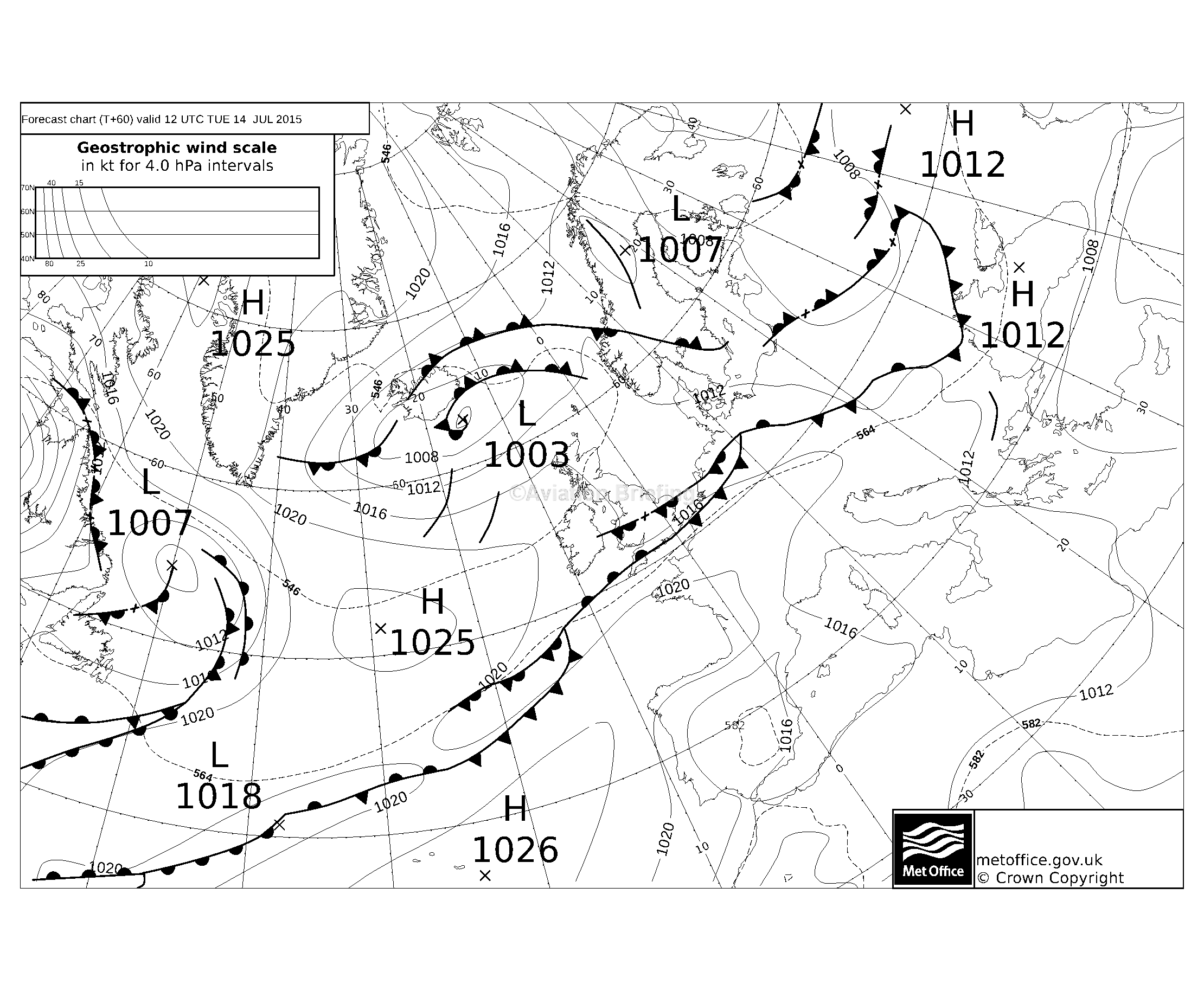
The following day, 13th July, the MSLP didn’t look much better but that warm front was not as bad as the picture on the 12th. And finally the day after that theweather was looking good so one could always come back 2 days late.
There is a problem establishing the cloud extent within the Alps, because local conditions can vary. One cannot simply get weather from some airport outside the Alps, because the conditions within are likely to be different and because “CAVOK” refers only to a lack of cloud up to 5000ft AAL (above aerodrome elevation) or up to the MSA, whichever is greater.
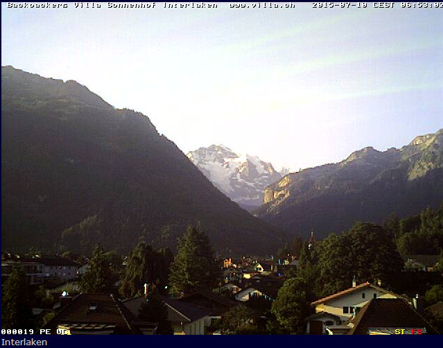
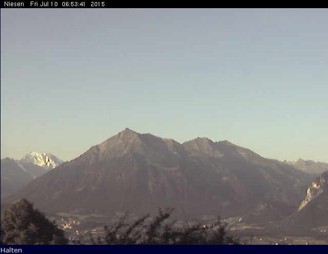
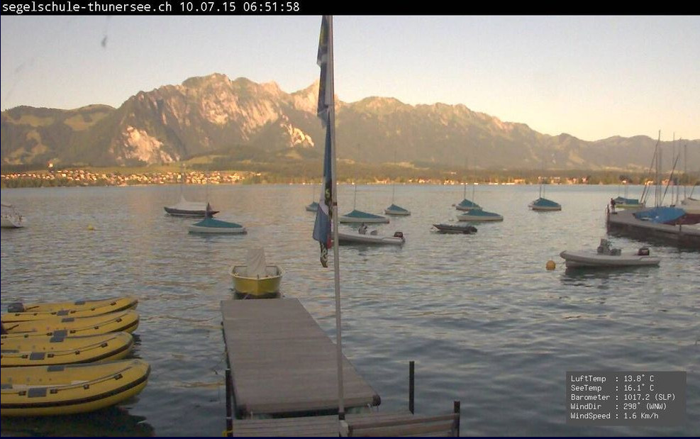
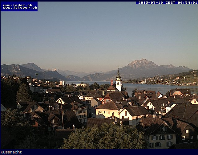
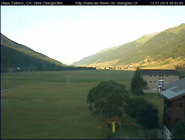
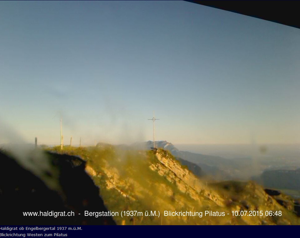
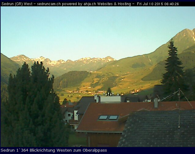
Fortunately there are numerous webcams scattered around the airfields within the Alps. Some of them are non-functioning but you soon get the idea… The following images were collected on the morning of departure, with #9 being from the Zell am See airport itself
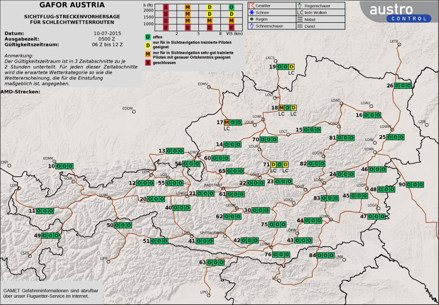
Also there is a VFR forecast for the Alps called GAFOR and this chart was obtained for that which covered the period 0600Z to 1200Z.
So, on the day the plan was to fly at FL100 to a spot about 20nm west of the airport, set up a 090 track as an OBS on the GPS (not necessary in good visual conditions but it’s always better to get a confirmation), cancel IFR, drop the landing gear and set Flap 1 for extra drag, and descend down into the canyon. And if there was an overcast, fly the ILS at Salzburg LOWS and either proceed via the canyon from Salzburg (shown above) or land at Salzburg and stay there instead.
At Shoreham, the departure clearance was the usual one: on track SFD, remain outside controlled airspace, squawk 4776, contact London Control 133.175.
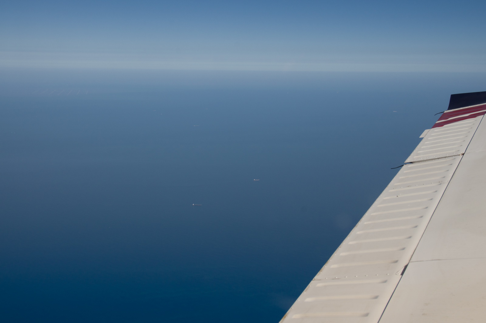
Initially we got a climb into CAS, 6000ft, then FL090. Here we are leaving the UK coast, around Lydd airport. At the bottom right is the nuclear power station

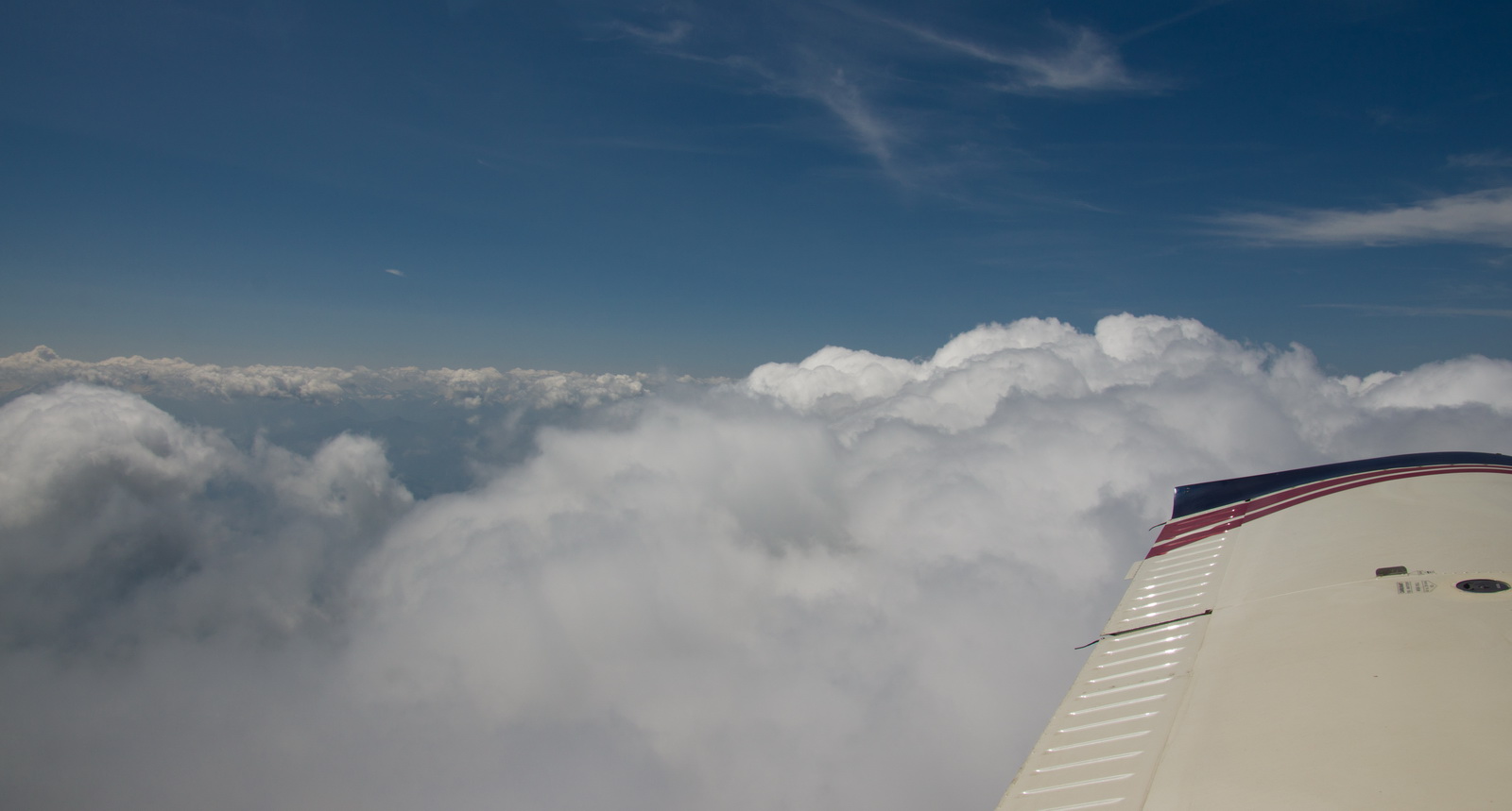
The conditions were clear and we levelled off at FL090, just above most of the haze
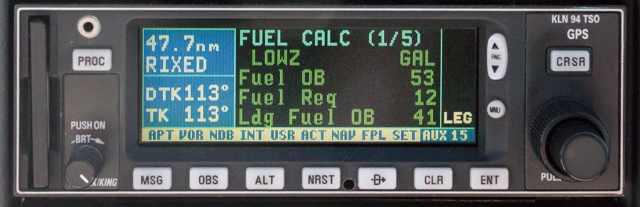
The projected LFOB (landing fuel on board) was 40 USG. The actual, upon landing, was 41.2 USG.
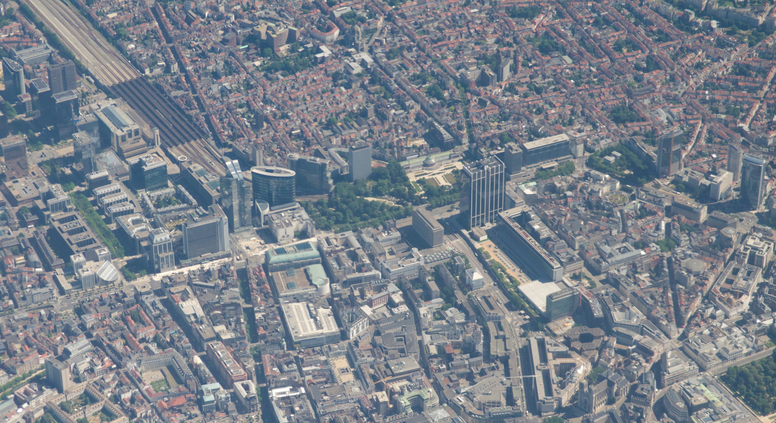
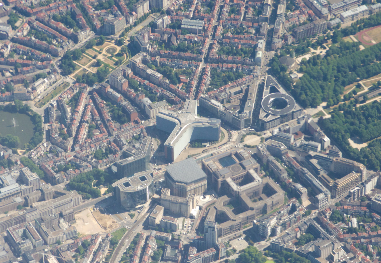
Initially we had a few kt headwind, then it became zero, and later we got 15 kt of tailwind. This is Brusells – where our money gets spent
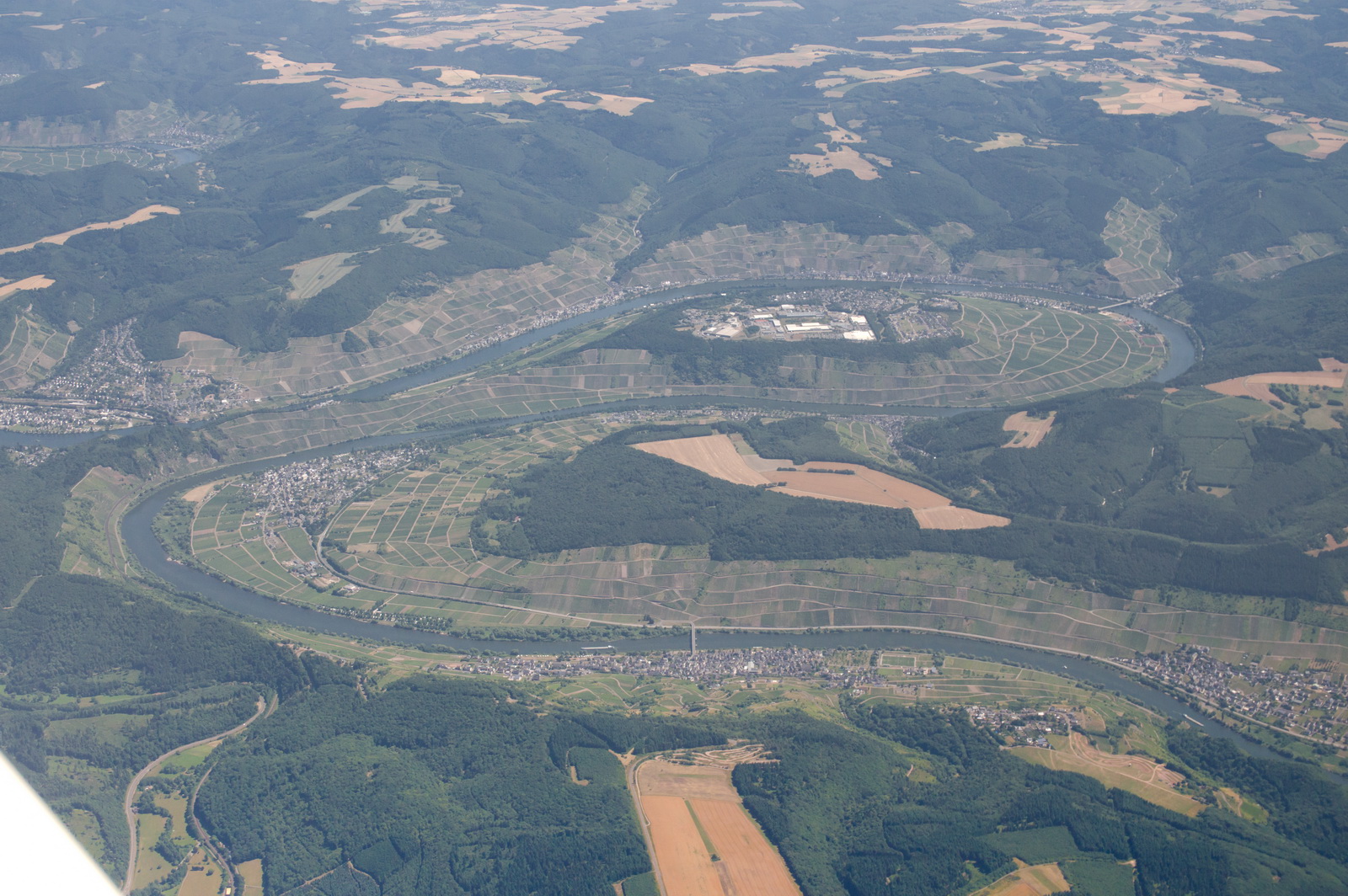
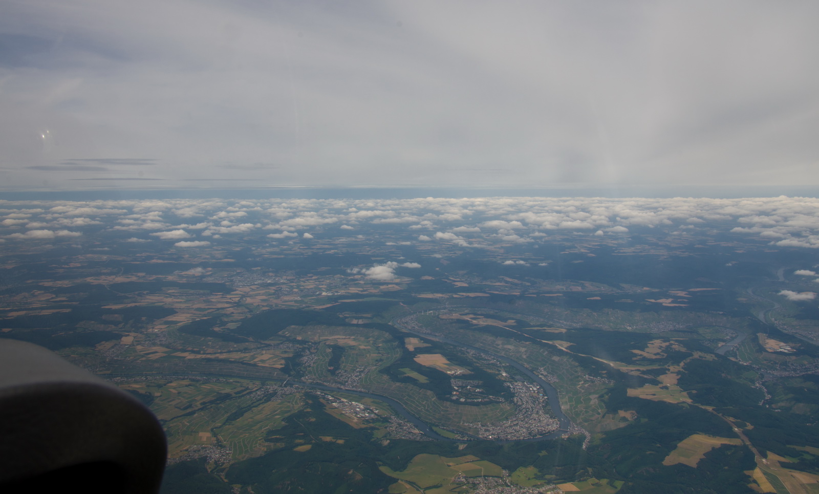
The famous bend in the River Rhine
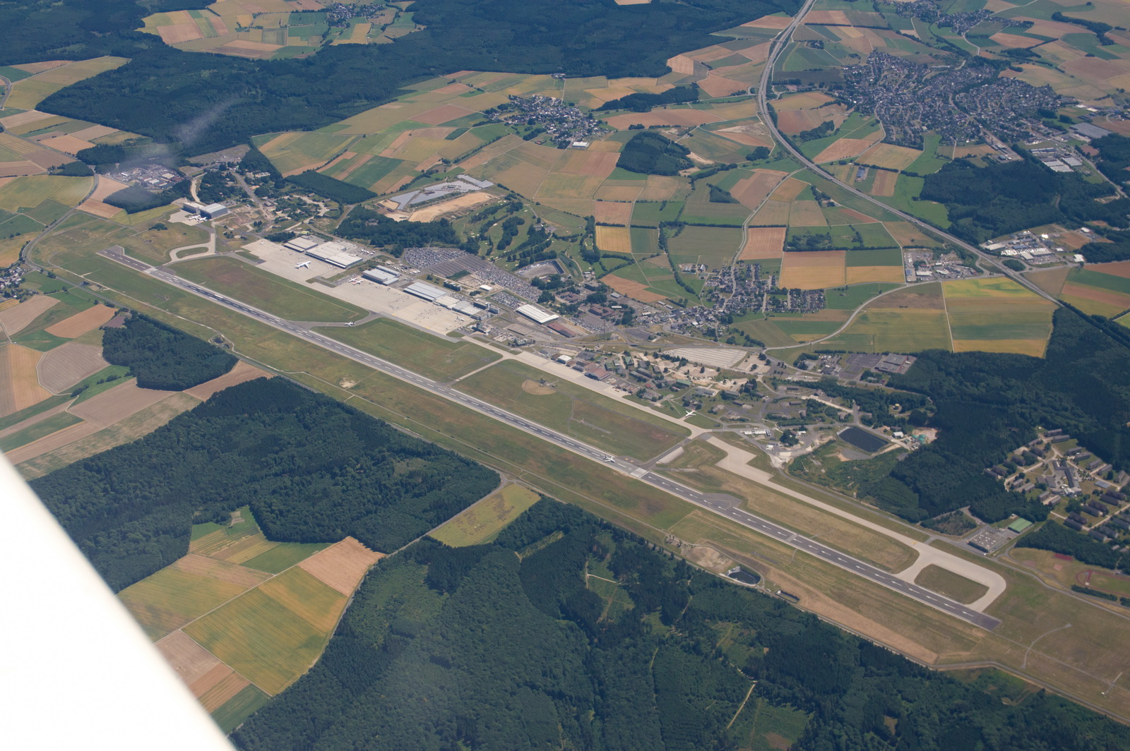
“Frankfurt” in Ryanair-speak: Hahn airport with its 2hr bus ride to Frankfurt
The LFOB improved, with the tailwind
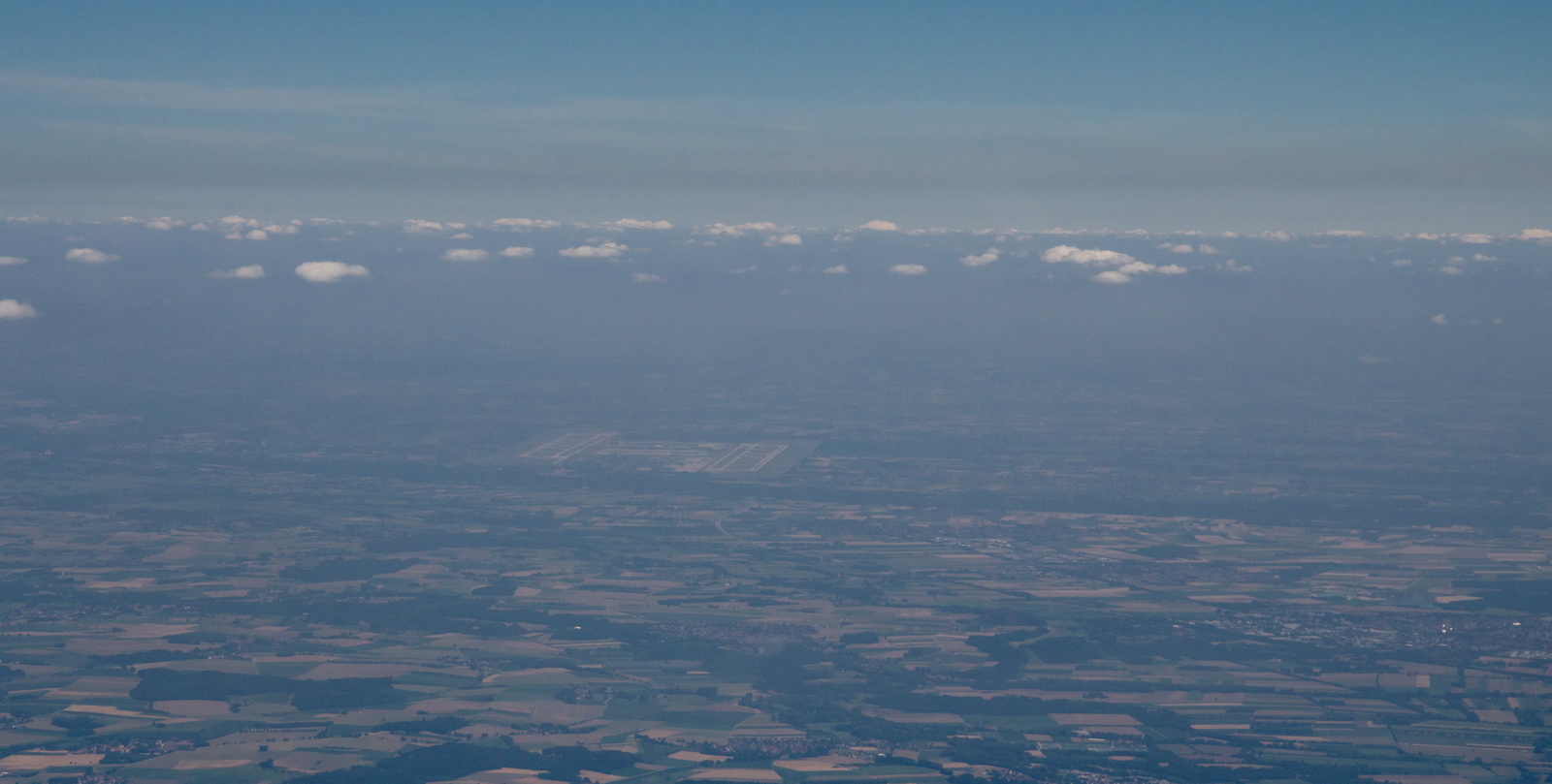
Munich airport EDDM is just visible in the haze
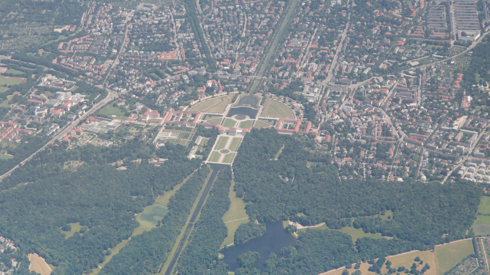
A very posh country house! Nymphenburg Castle in Munich, one of the Bavarian Kings’ Castles
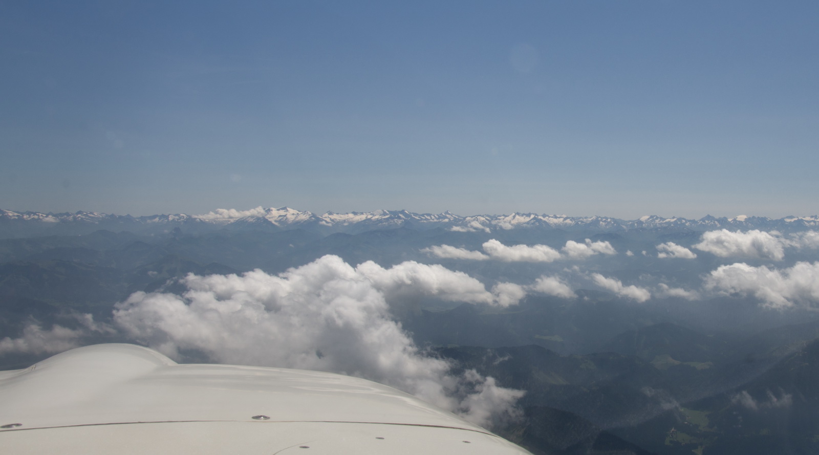
Is LOWZ before or after those peaks – FL090 for sure is going to be really close if it is after them! It started to get a little bumpy there; expected with the 15-20kt of wind flowing over the terrain, but then it became smooth again. We climbed FL100 to help reduce any turbulence
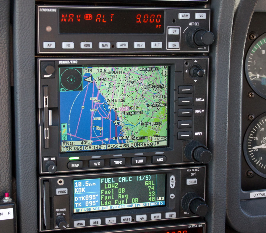
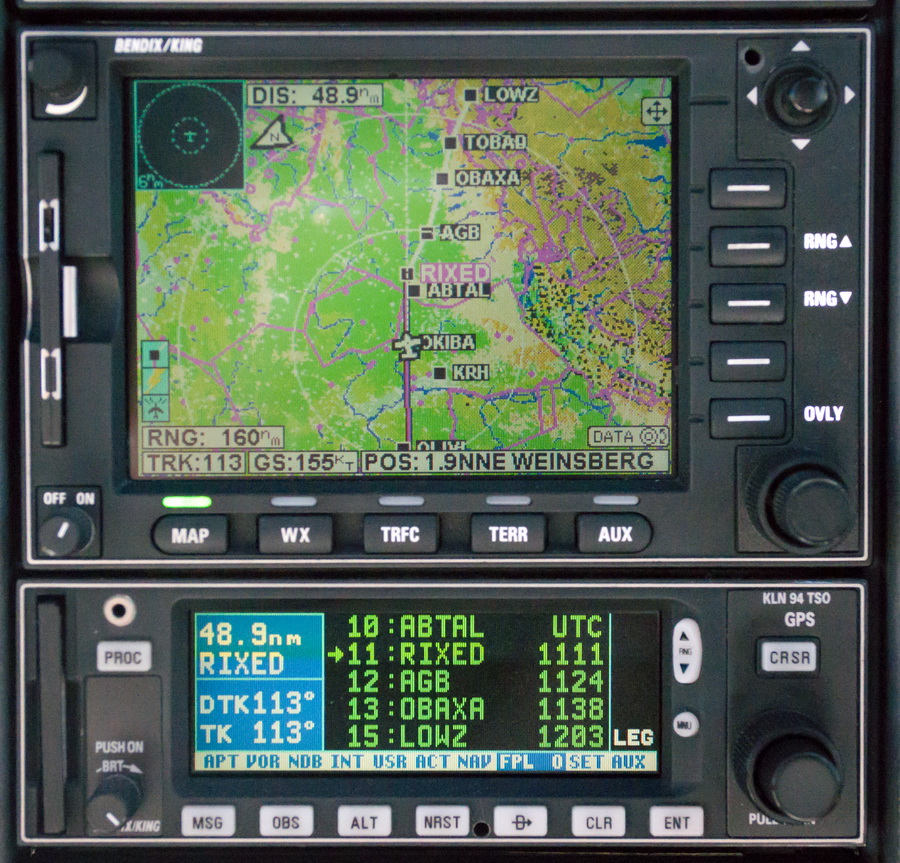
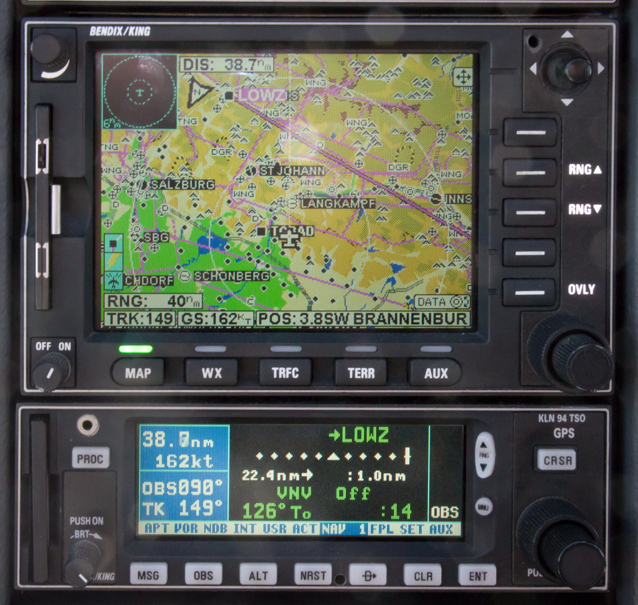
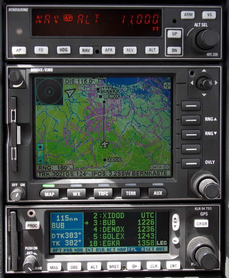
I set up a 090 inbound track into LOWZ in the OBS mode of the GPS, shown here by the magenta line. We are now at FL100. Munich suggested we cancel IFR shortly before that, which we did about 40 mins before landing. Munich called it “proceed VFRC” – no idea what it meant; could have been “VFR in Class C”
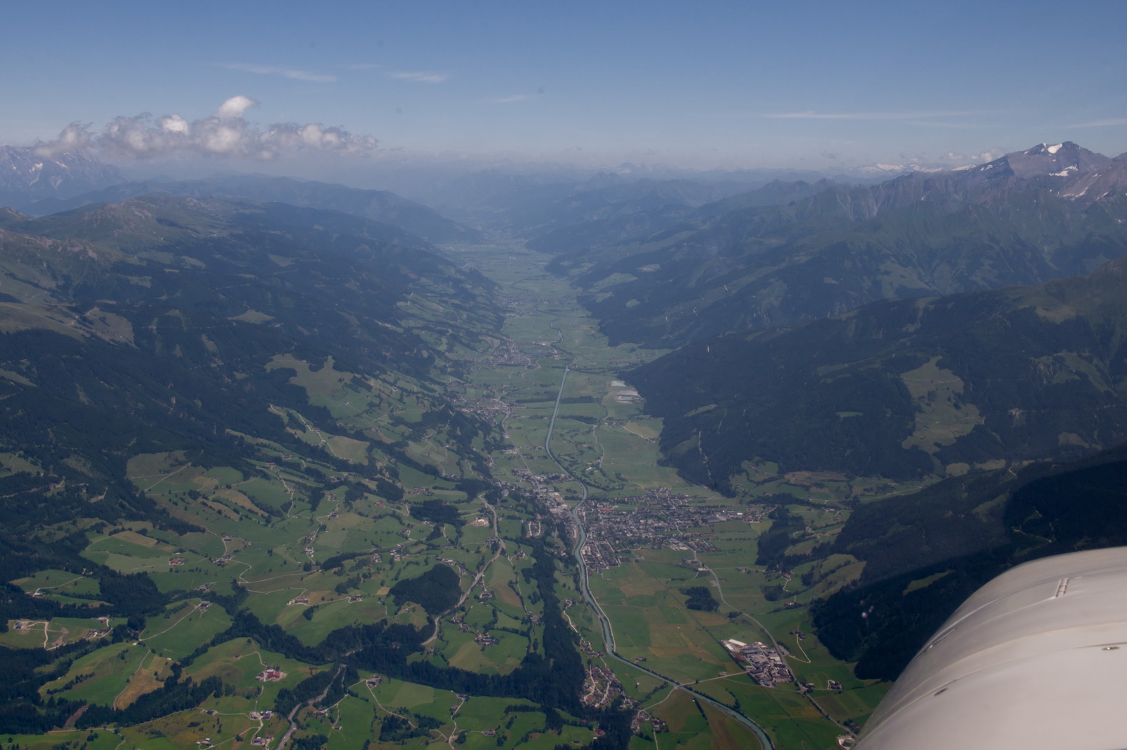
Not this canyon… must be the next one
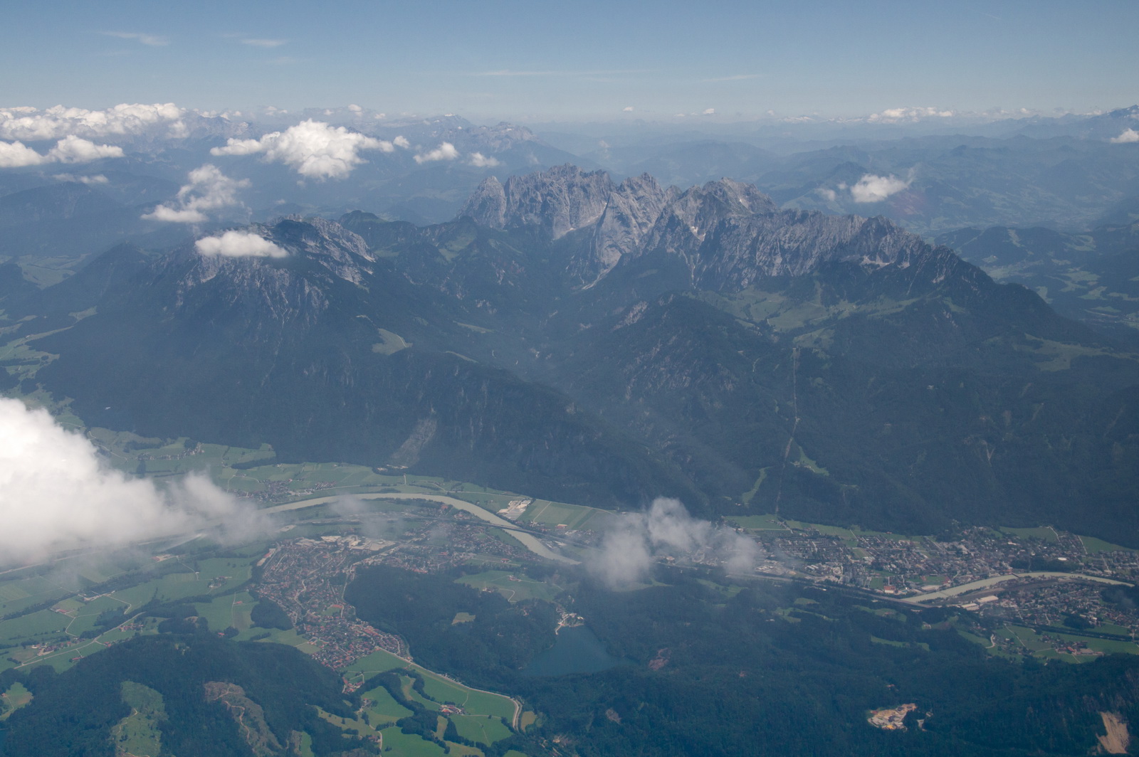

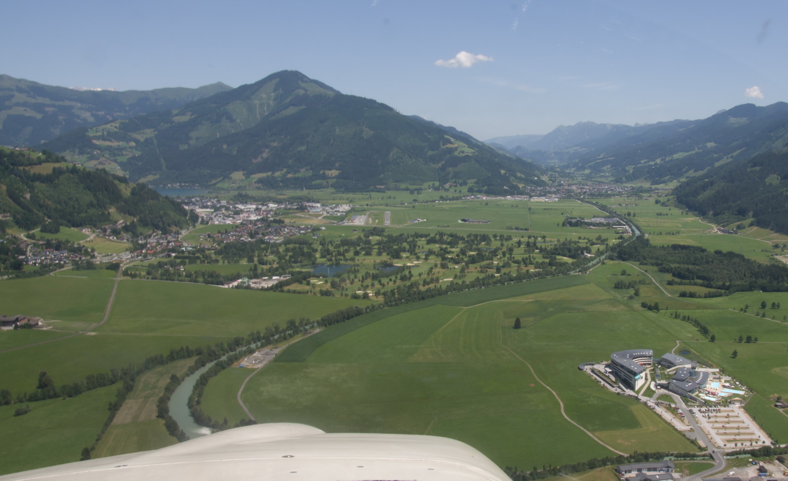
This is the canyon where the above magenta line lies; LOWZ is somewhere in the top left in the photo, hidden in the haze
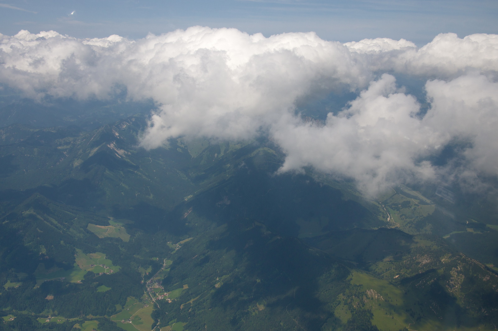
Turning into the canyon… still at FL100. The canyon is wide enough to do a 180 turn (not at cruise speed though) but you do need to be fairly awake, obviously… this image is typical of much of the Alps in the peaks with flat-bottomed canyons in between

We are below the surrounding terrain now. Landing gear is down and Flaps at 10 degrees, for extra drag

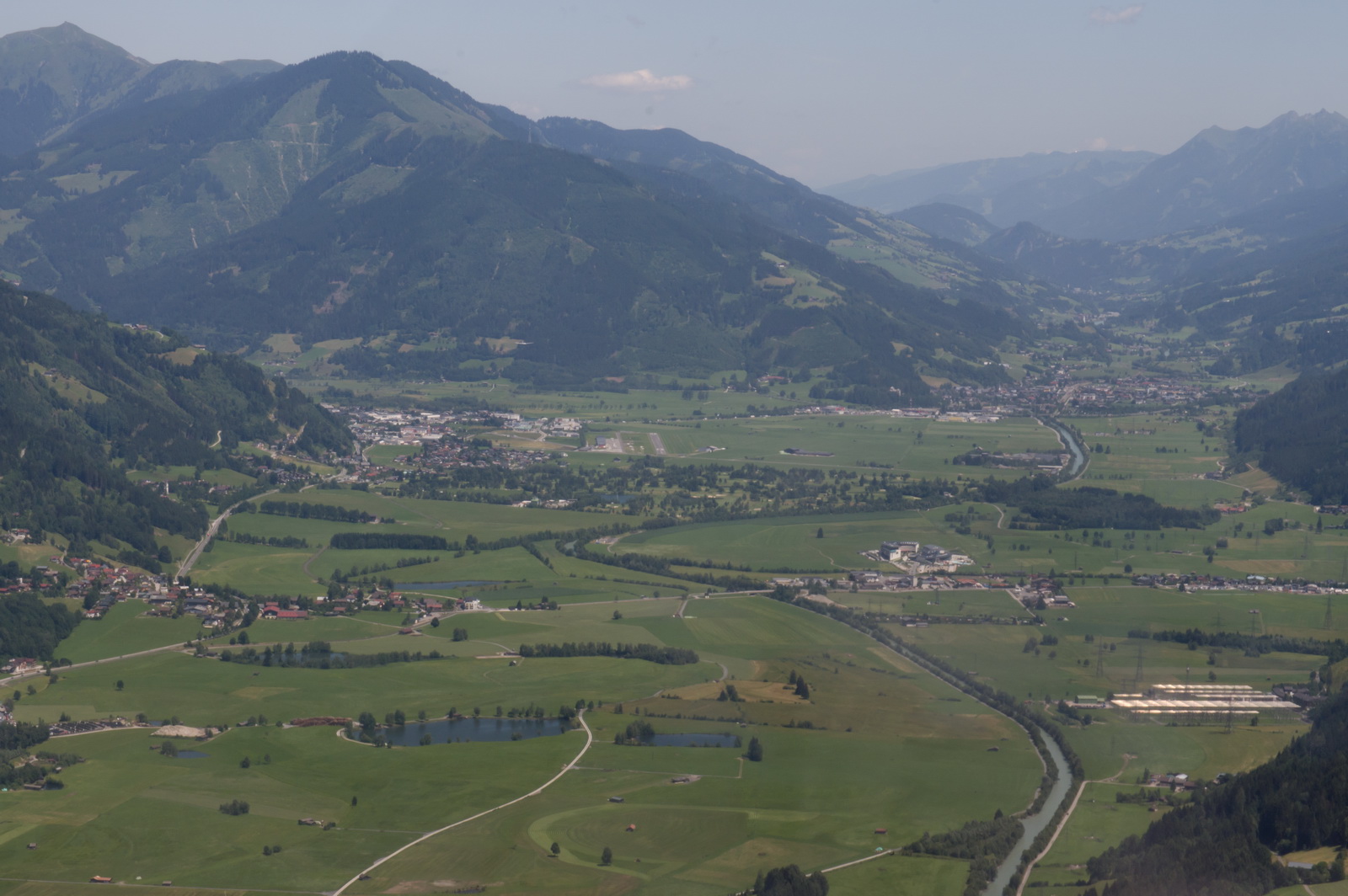
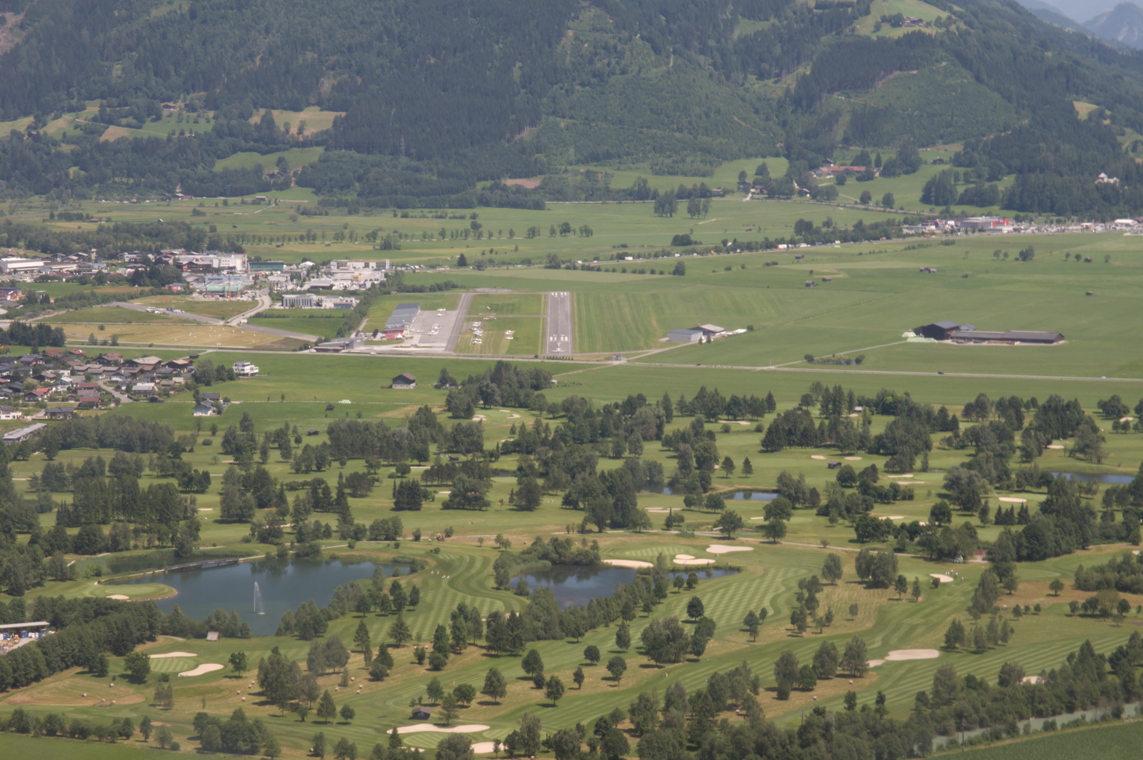
LOWZ is now in the middle of the picture; the lake is behind the first hill on the left

Final approach. The enlarged version shows an aircraft still lined up on the runway, but he got away just as I was thinking about going around…
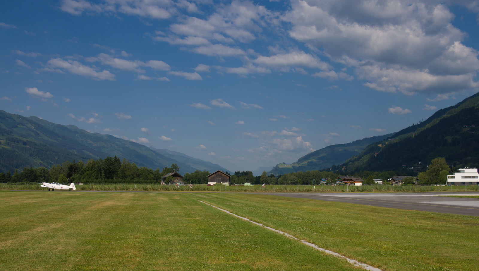
The landing was done right on the numbers; this runway is not long and is at 2500ft so you get two things working against you.
Curiously, having flown to much of Europe, this was the first time I have ever set foot on Austrian soil.
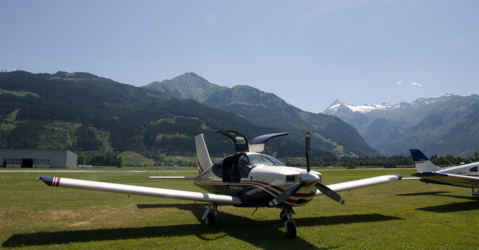
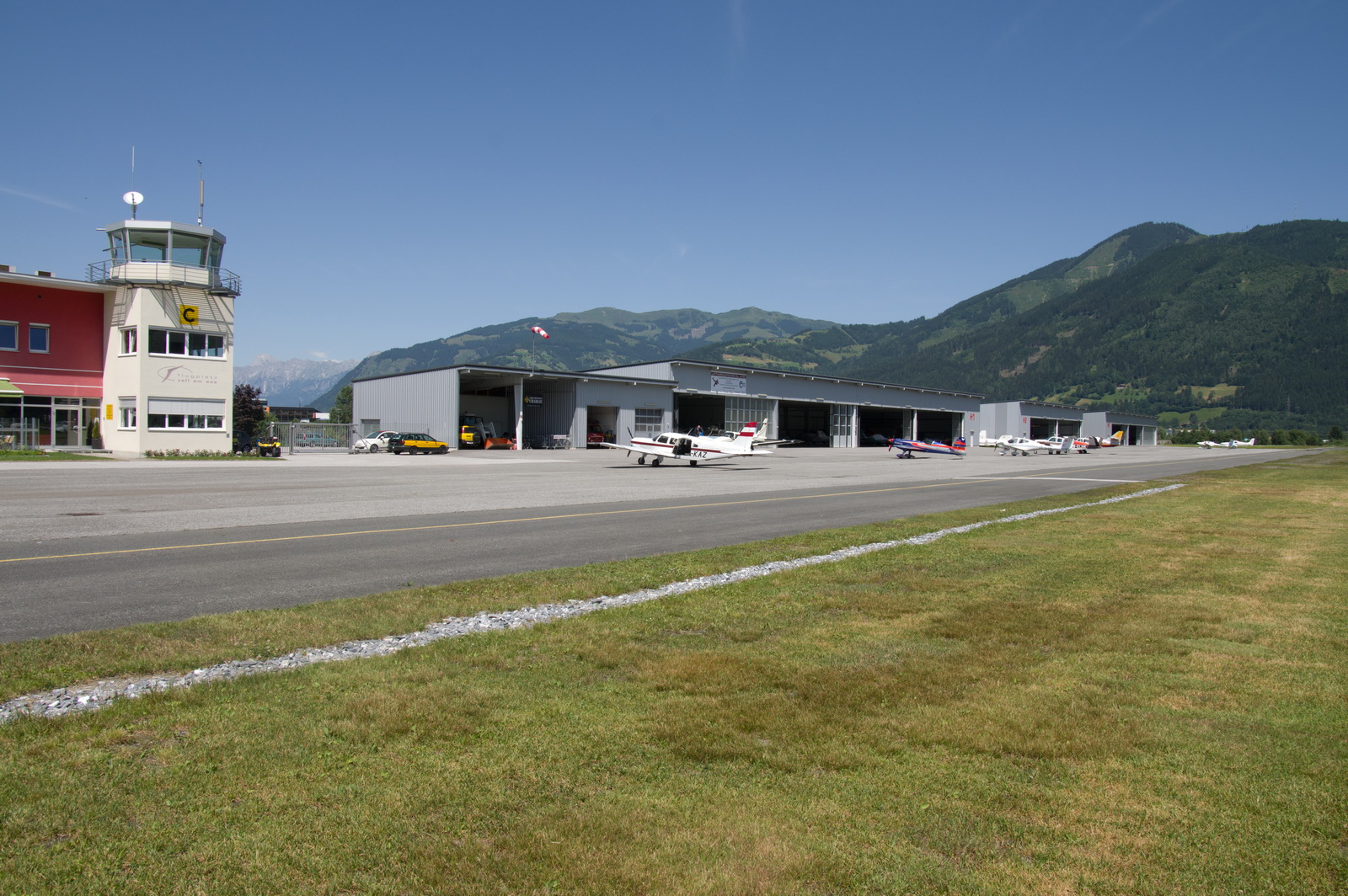
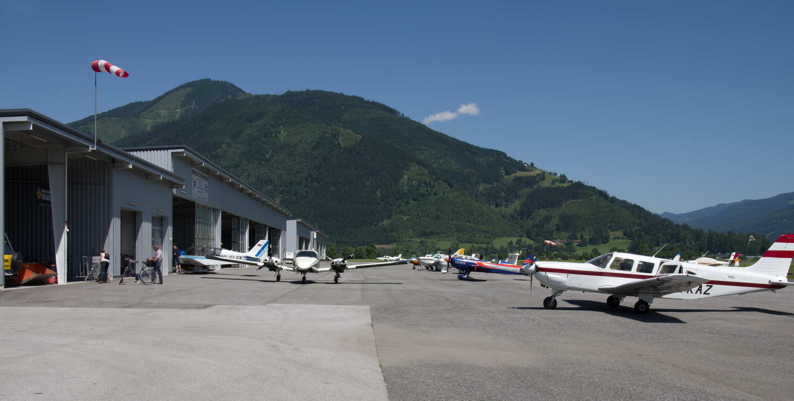
The airport is very busy, with many different aircraft types based there. It is not that different to the ones seen in Switzerland (e.g. Lausanne) where plenty of money is evident, in contrast to the often decrepit scene in the UK. I understand LOWZ is partly owned by the Porsche family.
The self service pump works OK. You have to park up and walk to the office and pick up a magnetic strip card for the pump. I had to get some local help to translate the German button labels. The office won’t let you pay for anything on the day; you can do it only when you depart. Normally this is a really dodgy thing to do in aviation but I guess Germany, Switzerland and Austria are well enough organised that one can depend on not getting a huge departure delay – at least at airfields which don’t have jet traffic. Still, it does mean you need to arrive an extra hour earlier for departure, just in case!
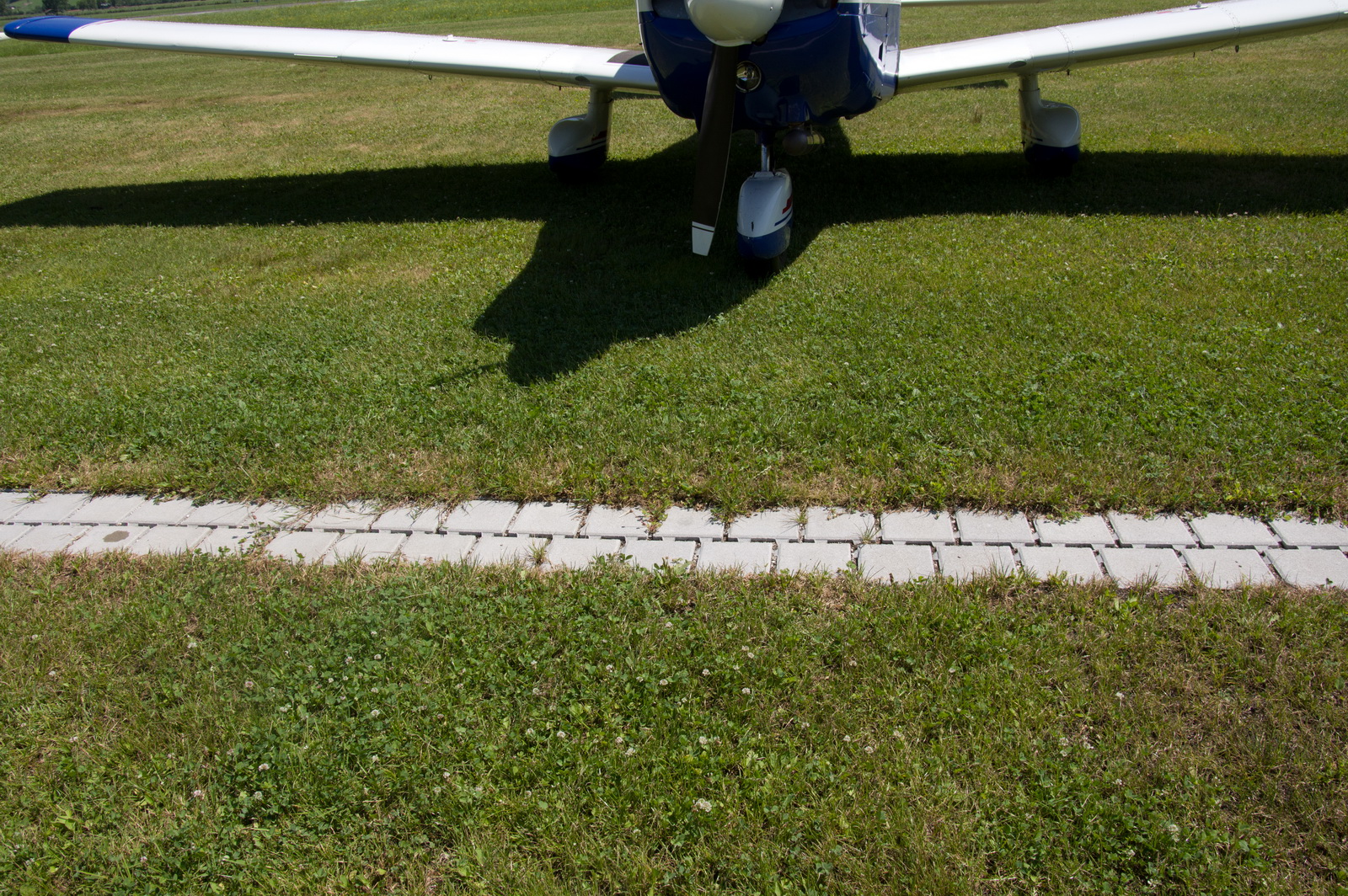
After refuelling, we pushed the aircraft backwards off the tarmac onto the grass… no way was I going to taxi under power over some of the stuff in the ground! But others did… This was one reason, but actually those bricks were very level and not a problem
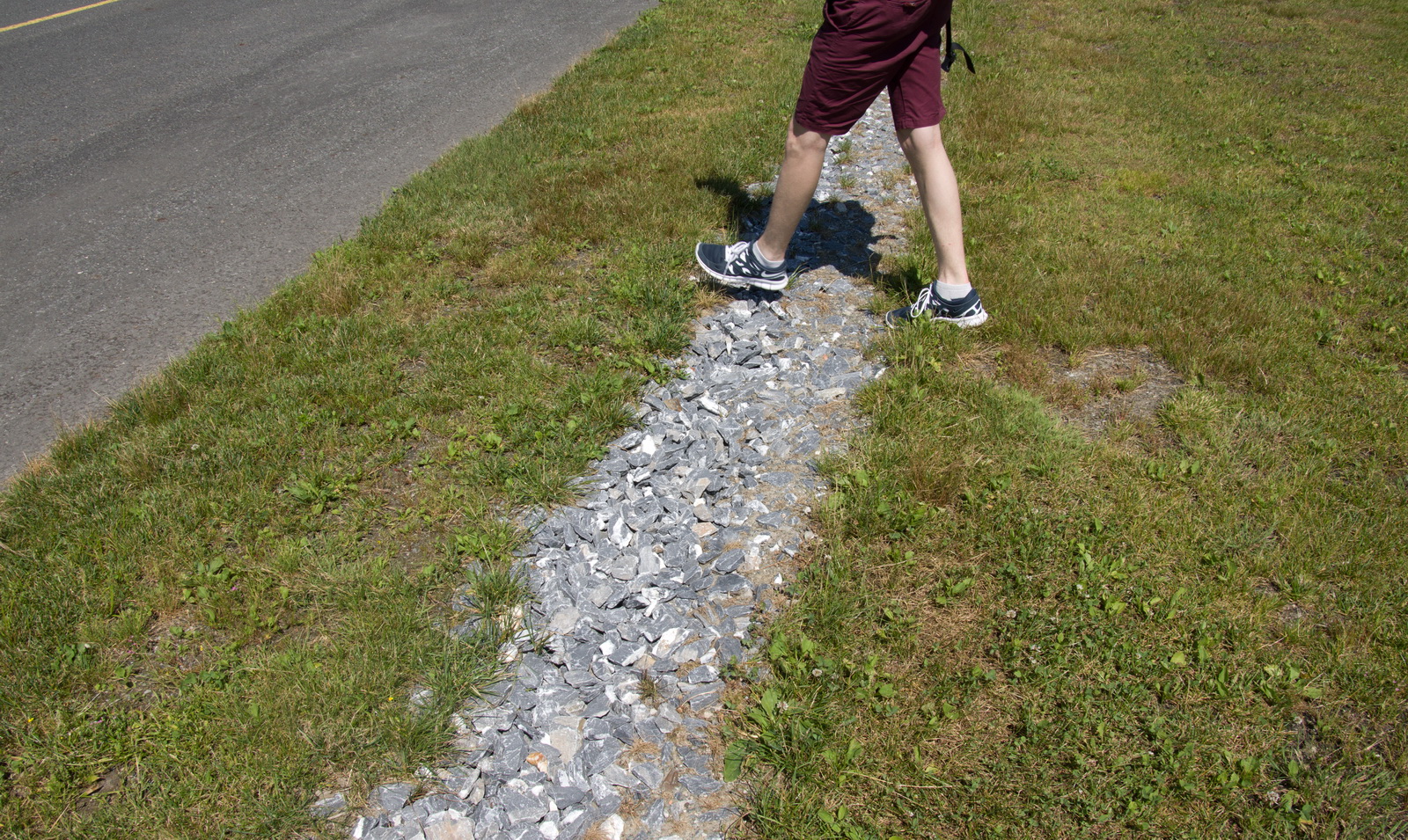
but these huge rocks would do serious damage to a propeller if it picked one up. My guess would be a dent of about 5-10mm which would be beyond a sensible (or legal) repair, so you are looking at four figures to fix that
The backdrop is worth every penny
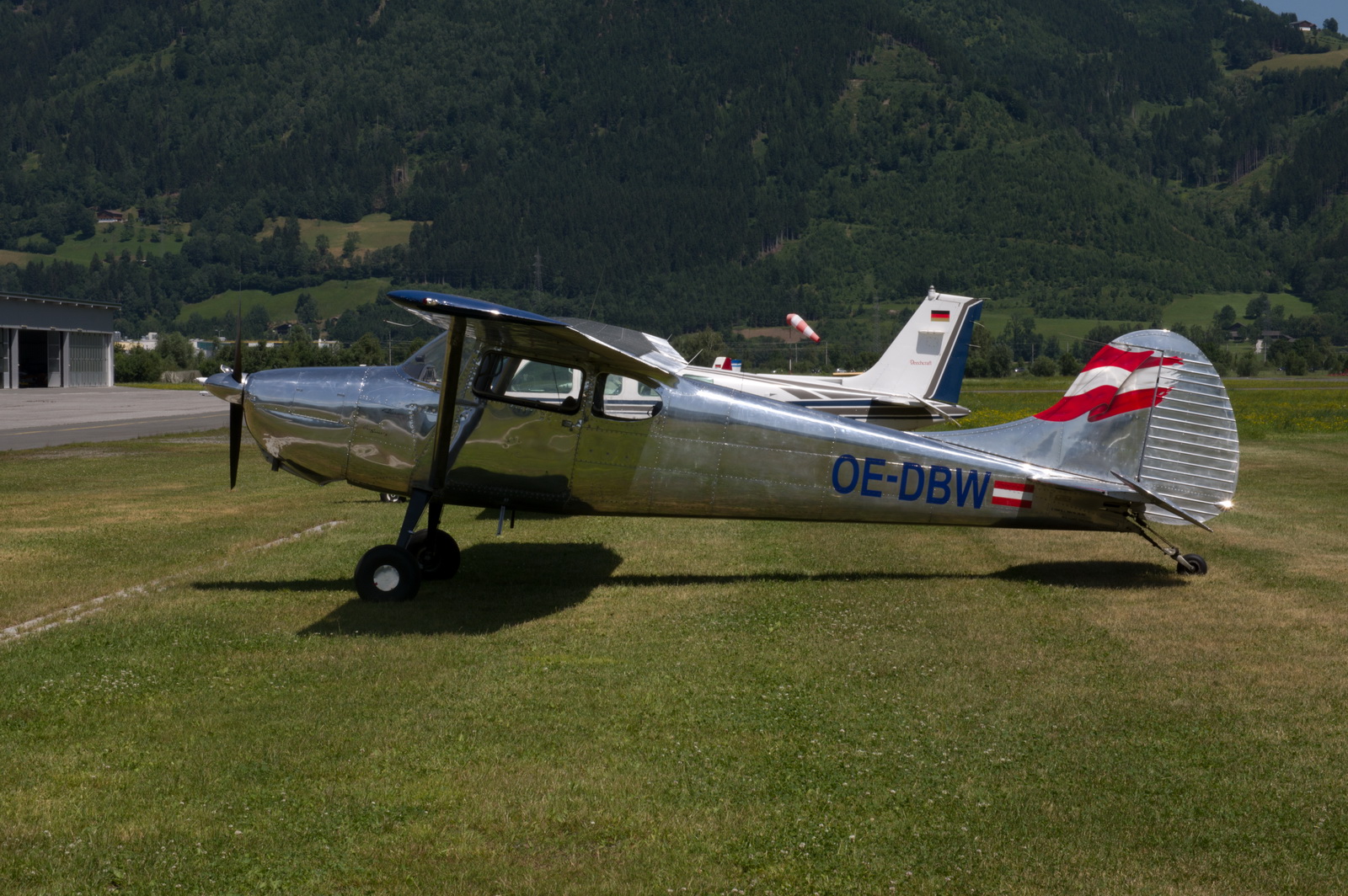
The self-service fuel pump is in front of the Cessna
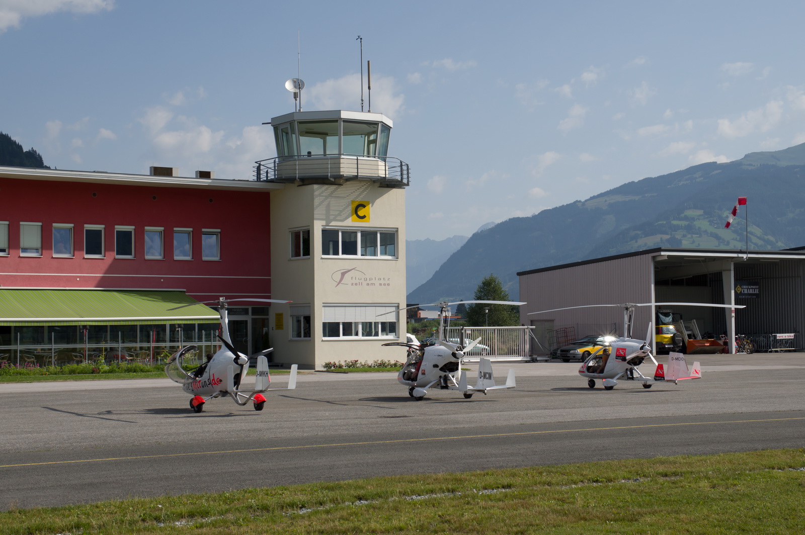
The tower and the restaurant

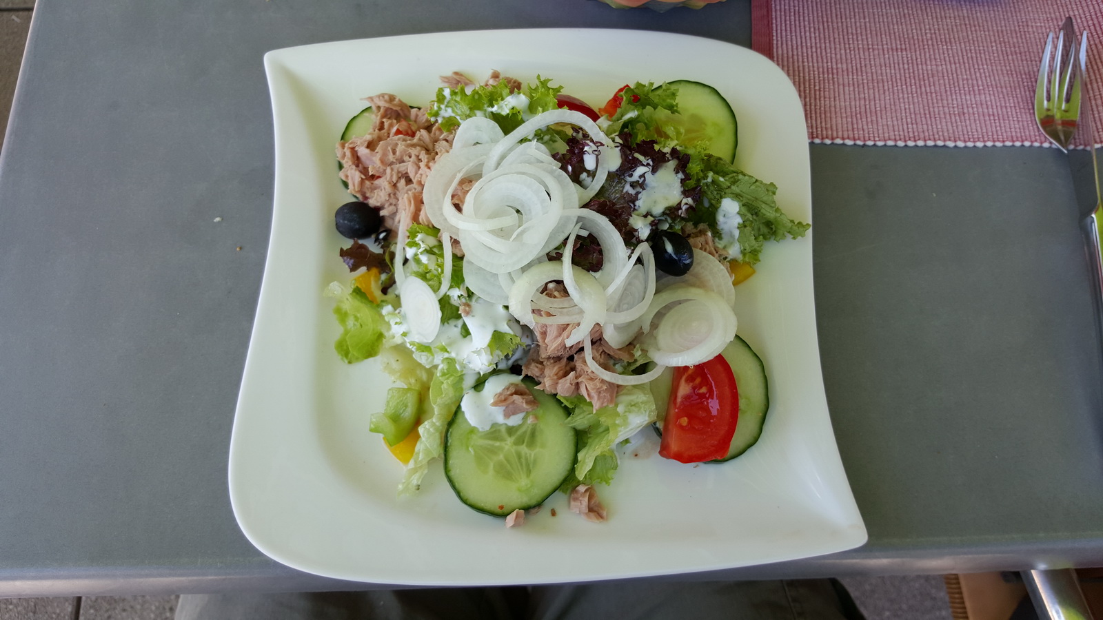
There was a decent choice of healthy food
Plenty of hangarage… this is essential for healthy GA activity because few people want to base a nice aircraft where it has to sit in the open. Some of the hangars have aircraft suspended from the roof, to make more room
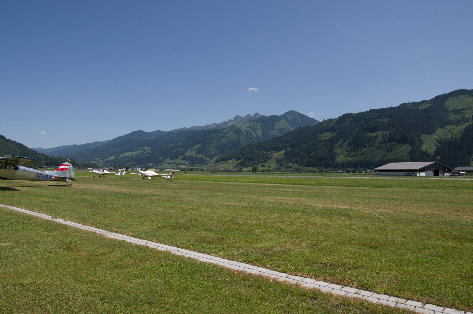
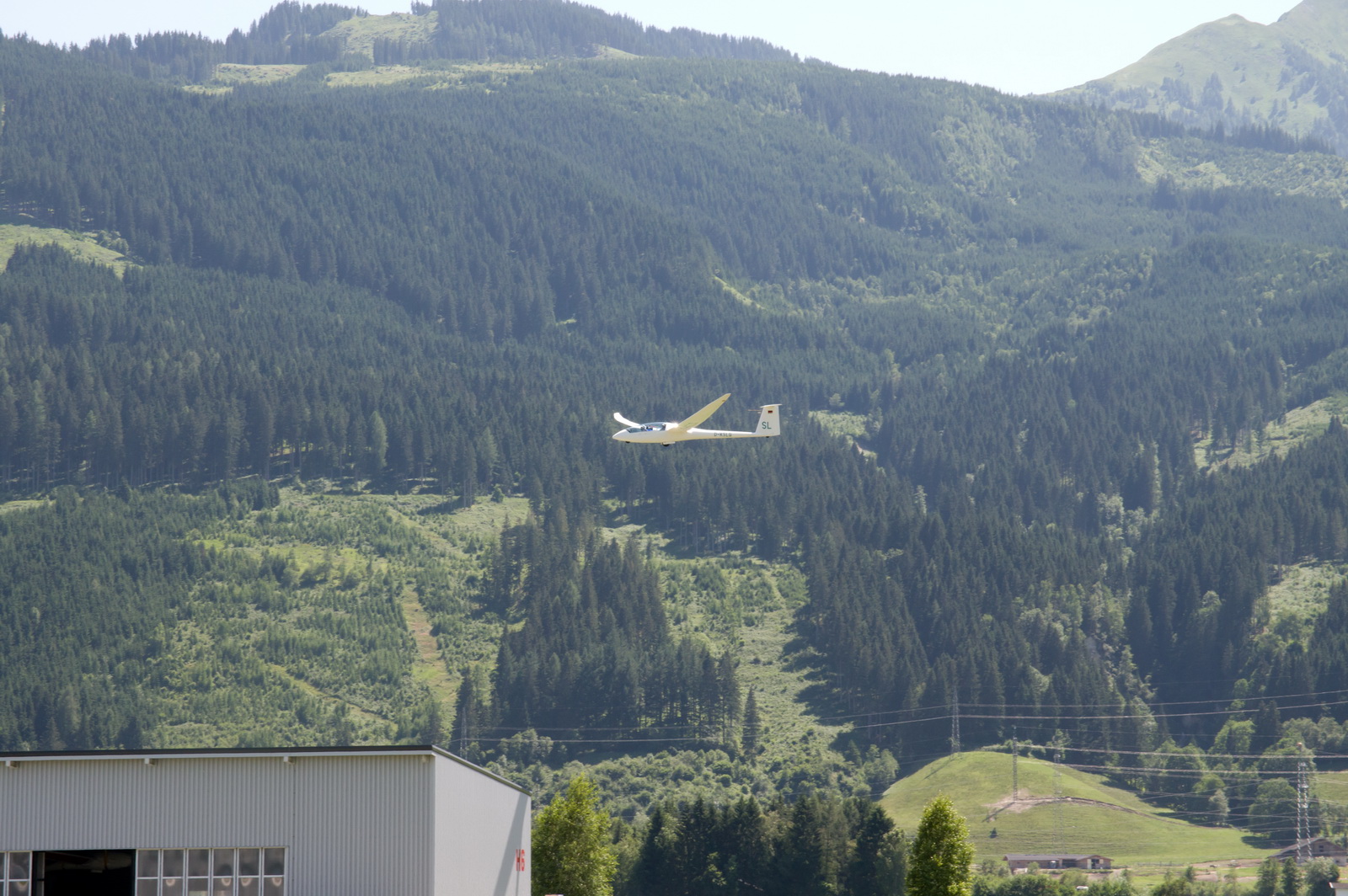
A lot of gliding was taking place

This Seneca (taxiing towards the camera) landed around halfway down the runway… it really looked like he was going to run off the far end but he did just about manage to stop
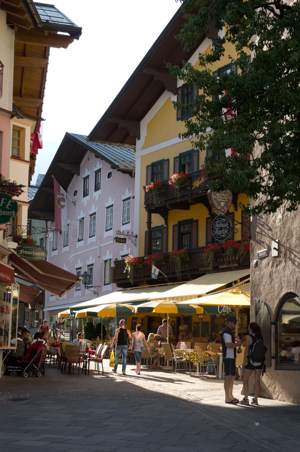
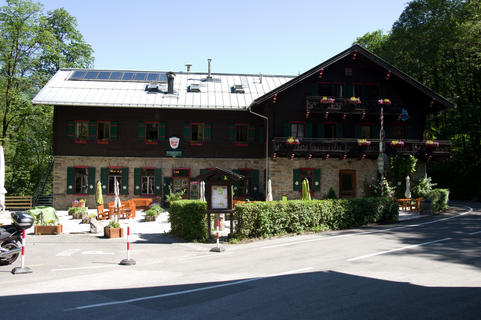
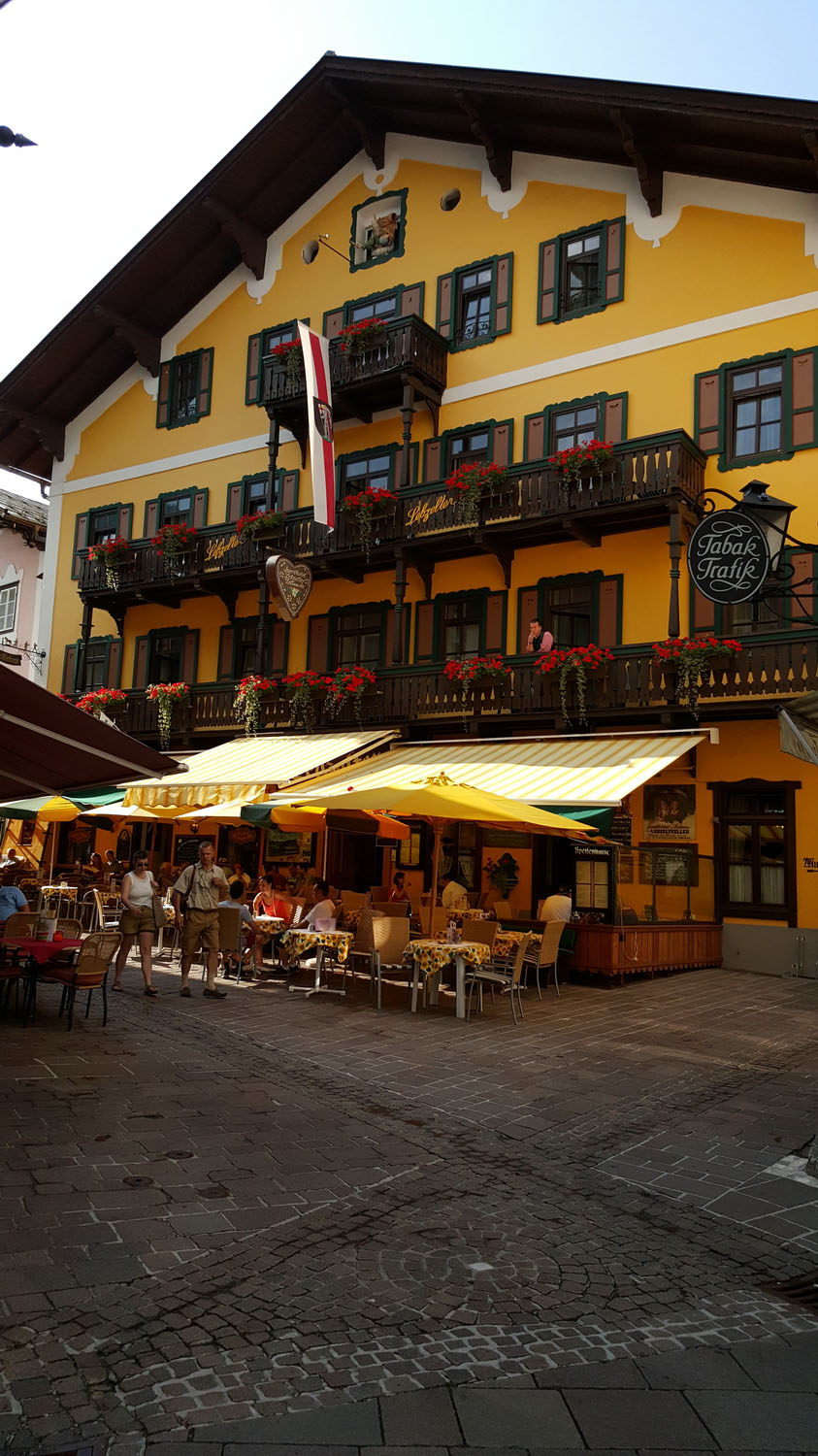
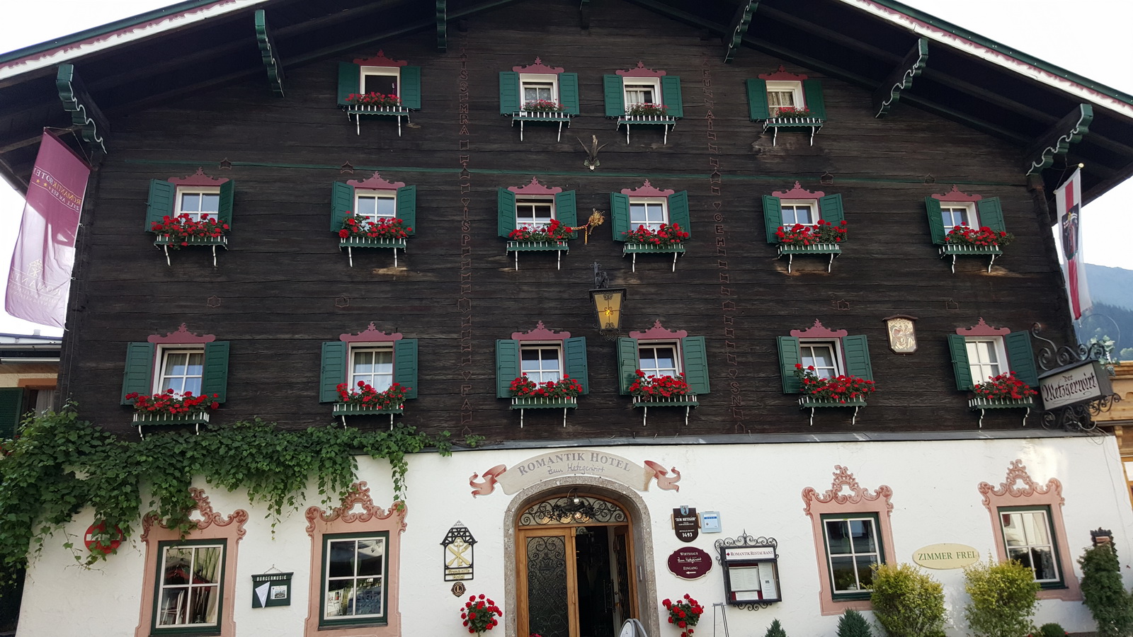
We got a taxi into the town, which is just down the road, €10. Zell am See town is very small and you can walk around the pretty parts of it in an hour or two. There is no shortage of restaurants

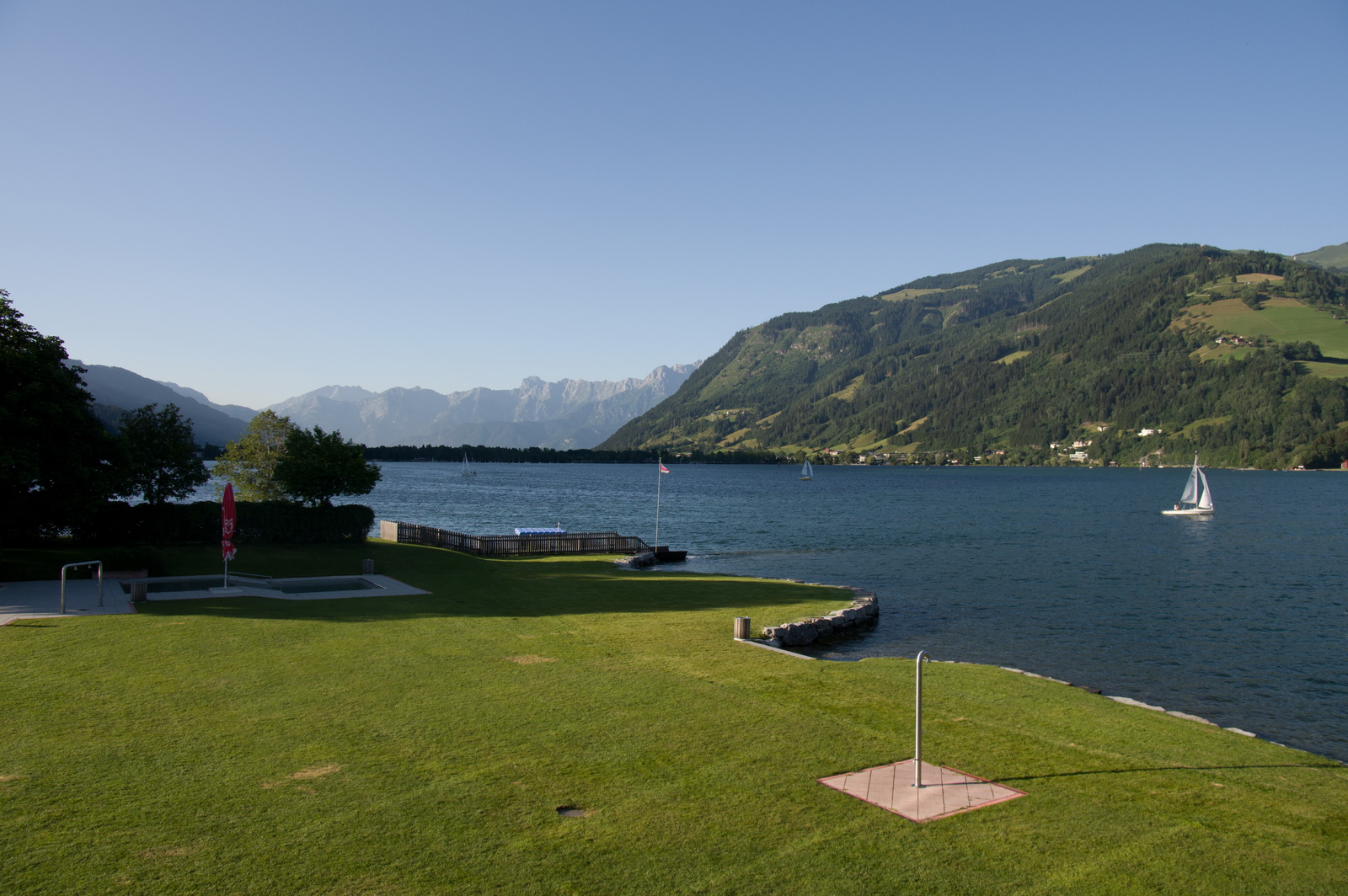
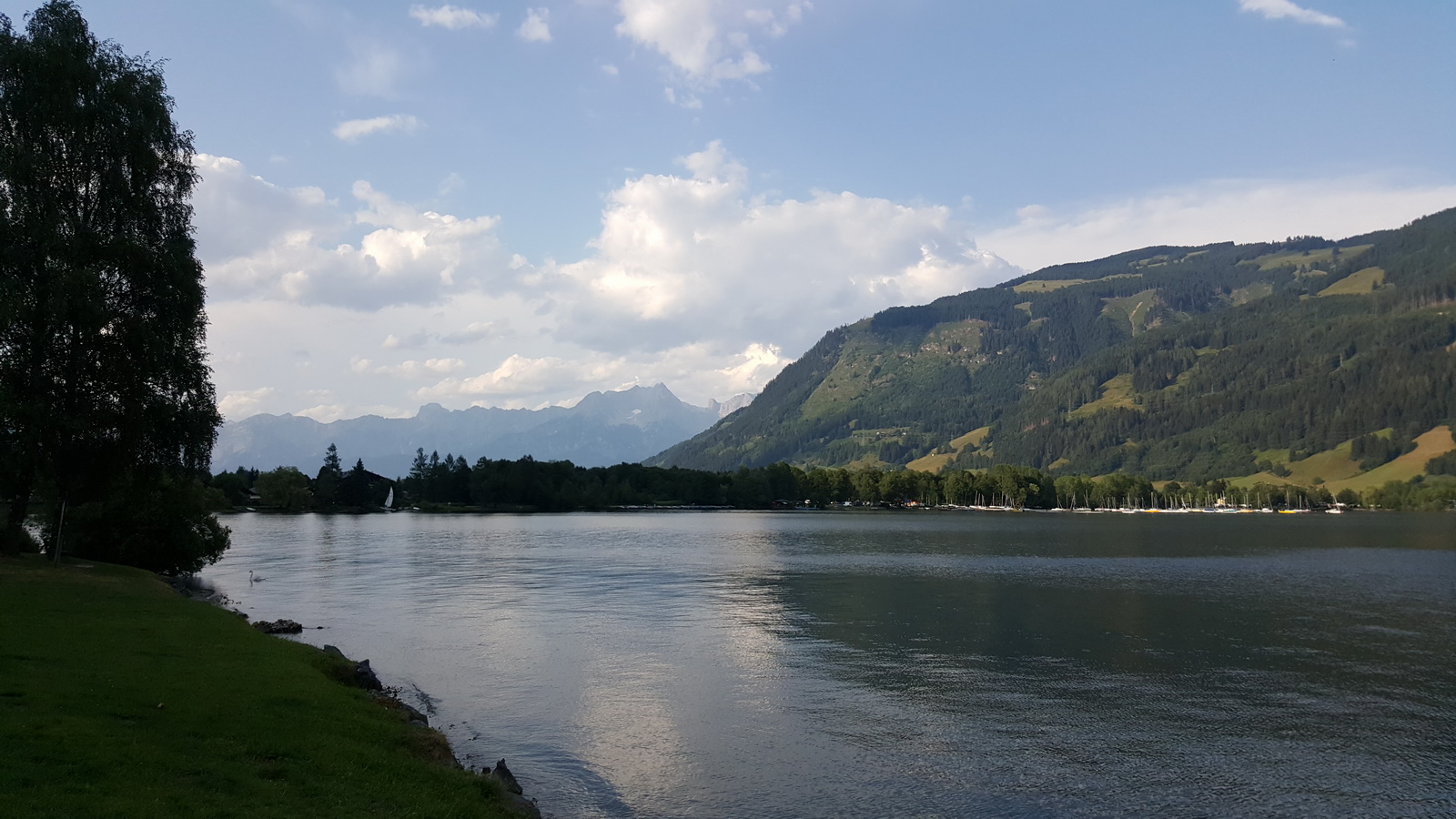
The lake is really scenic; one can rent a bike and cycle all the way round, in probably a couple of hours, but it would be better to make that a day trip and stop in a few places on the way


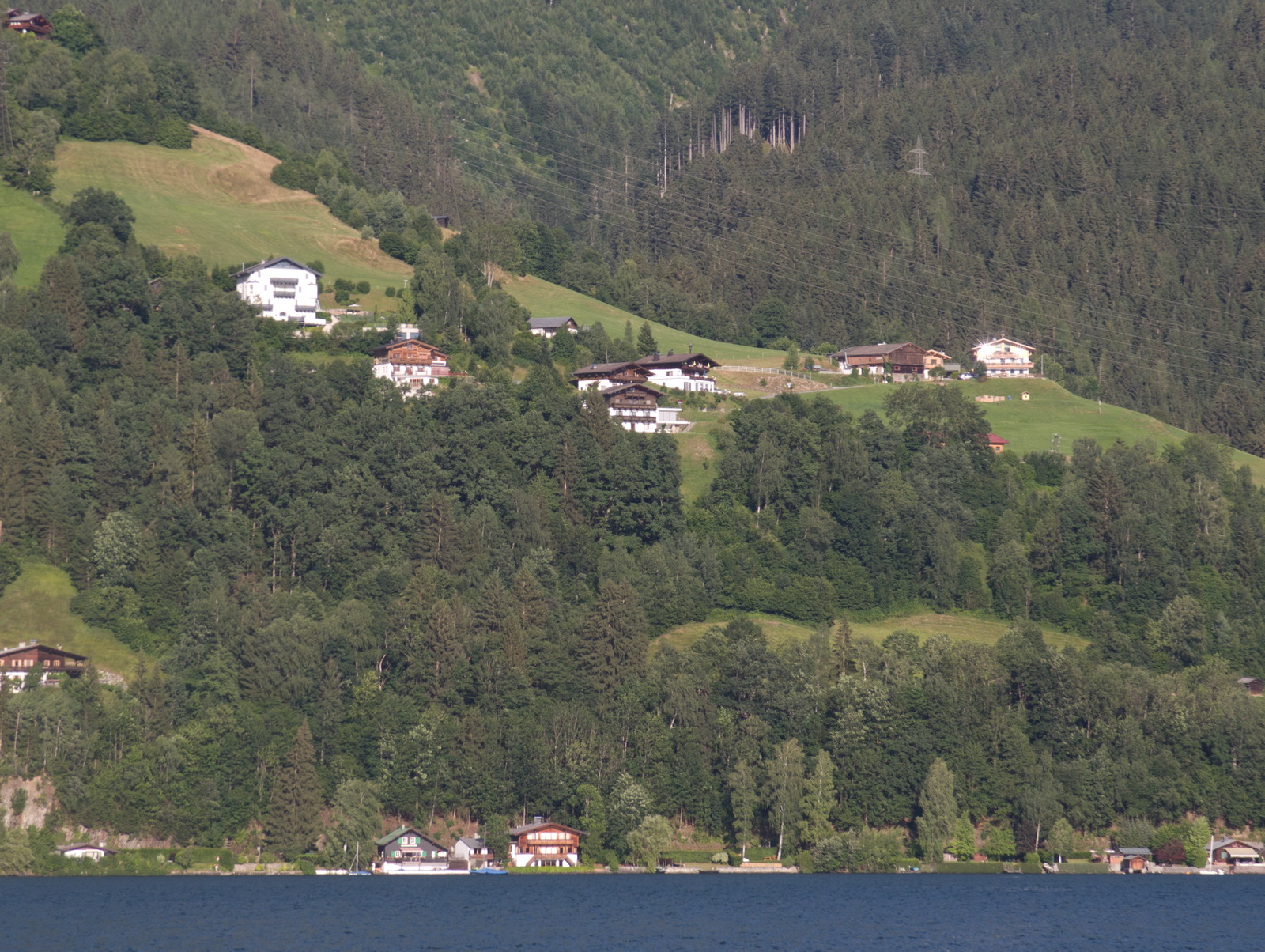
There are many lovely chalets on the hillsides
This was the view from one restaurant – not at all expensive and very good food
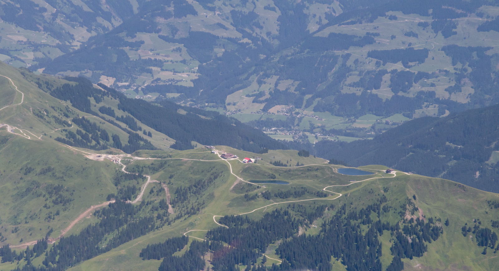
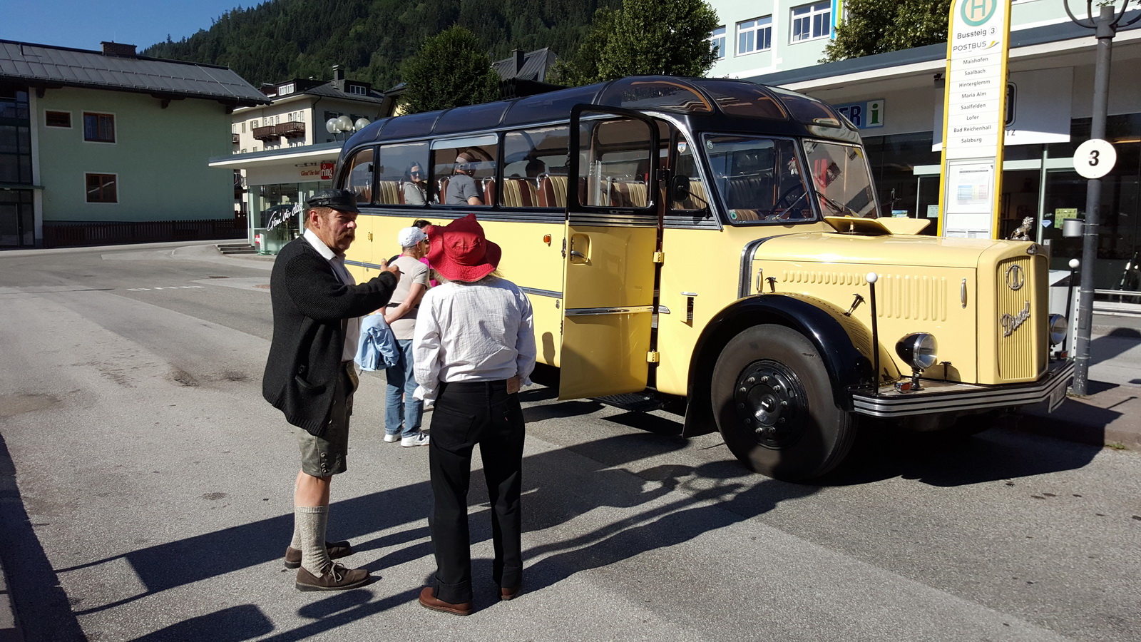
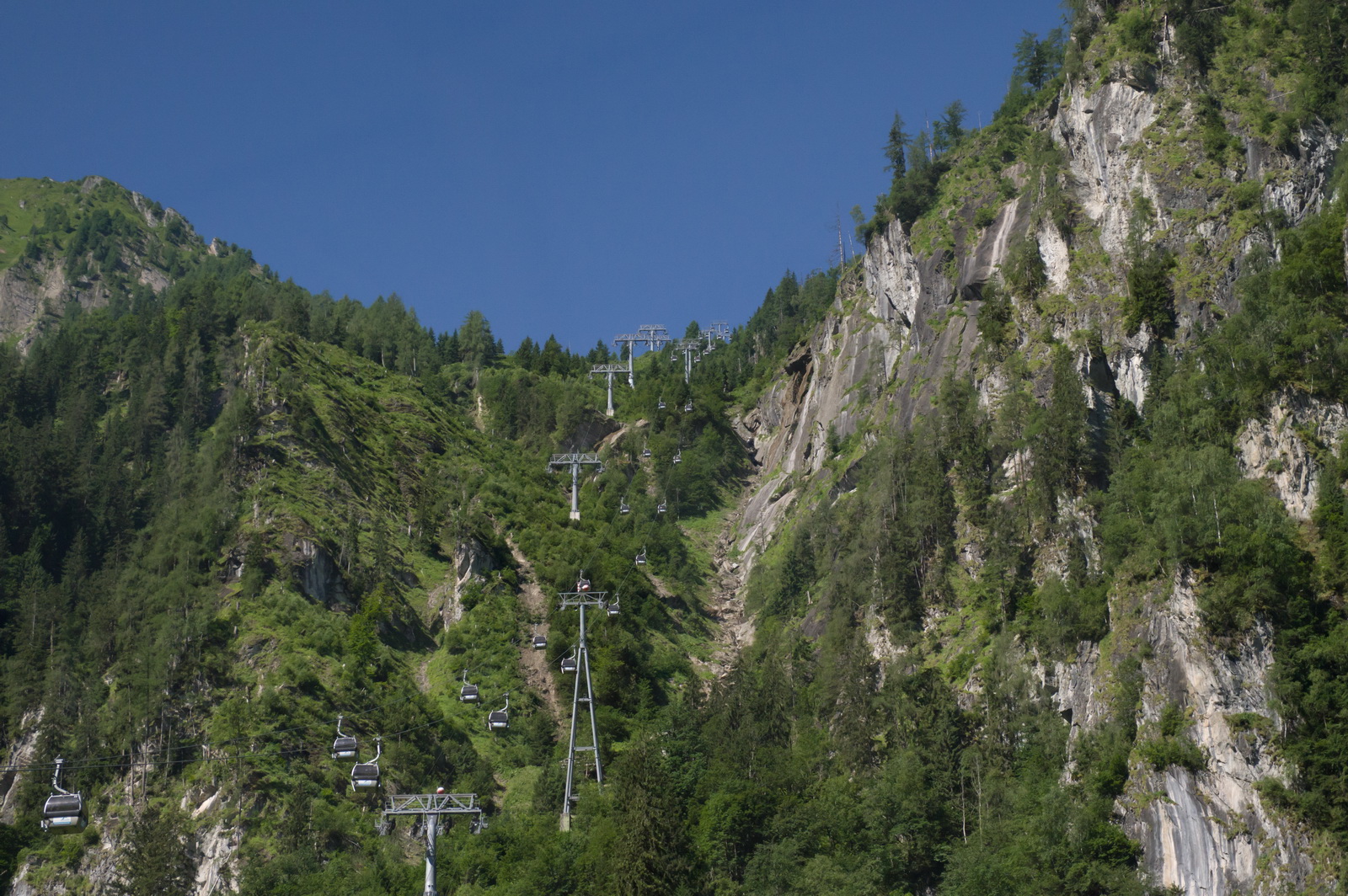
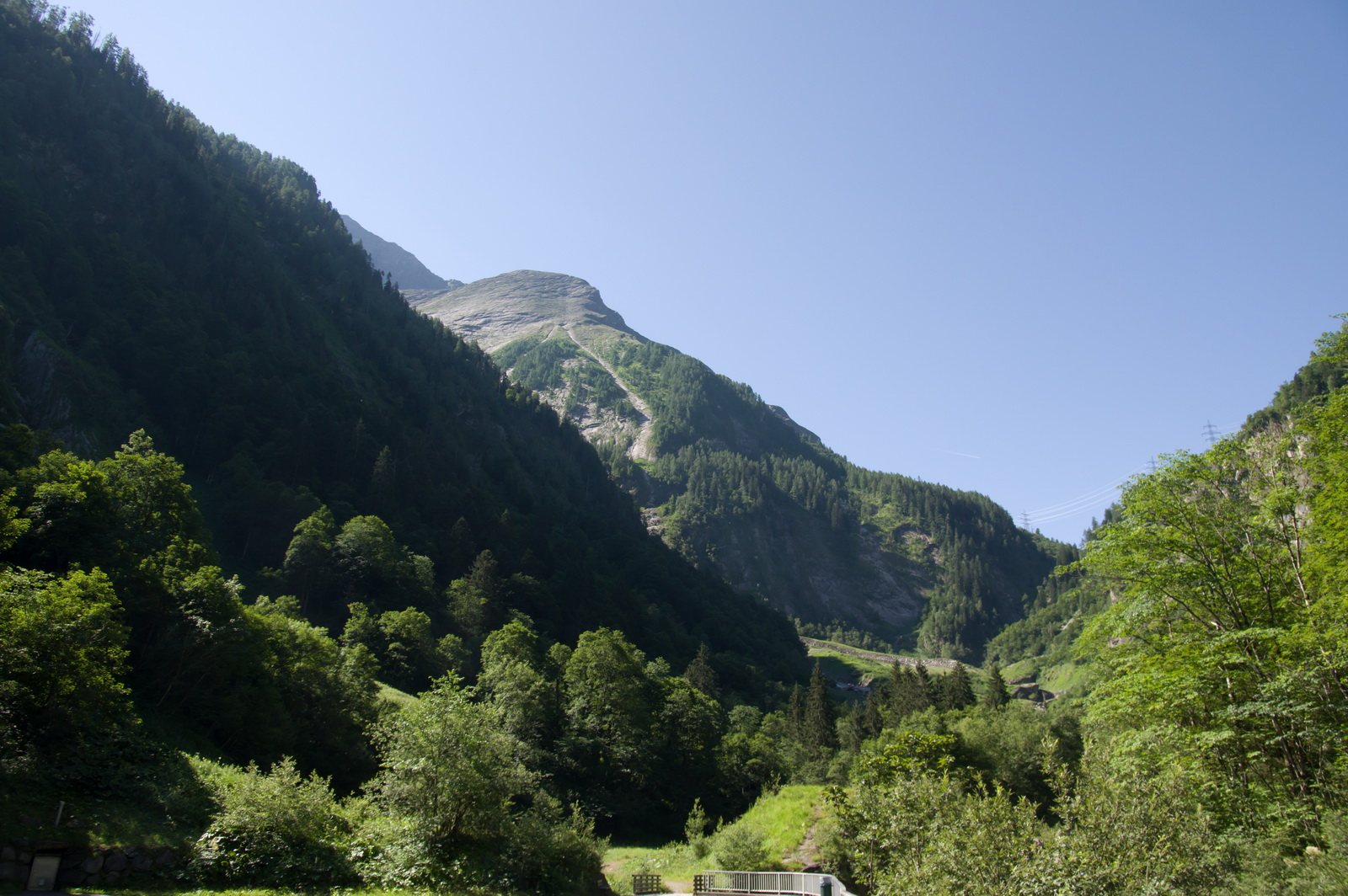
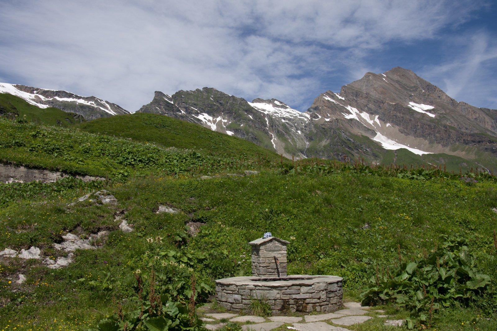
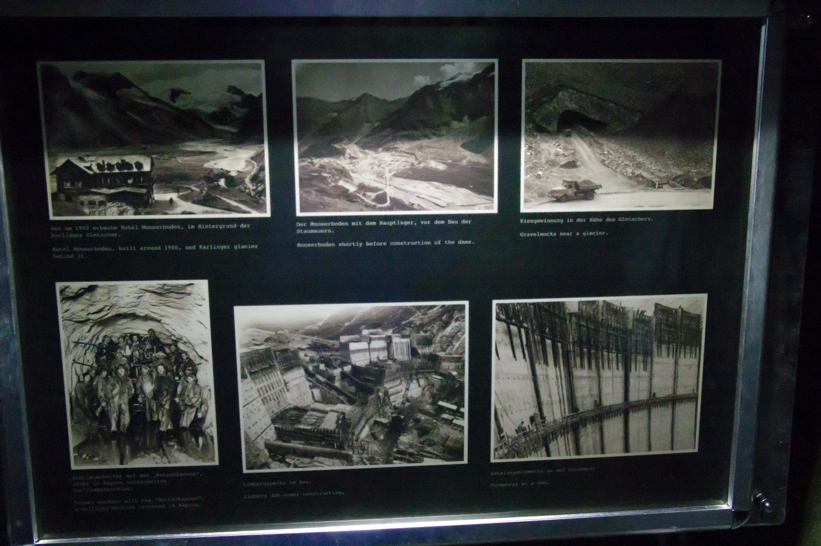
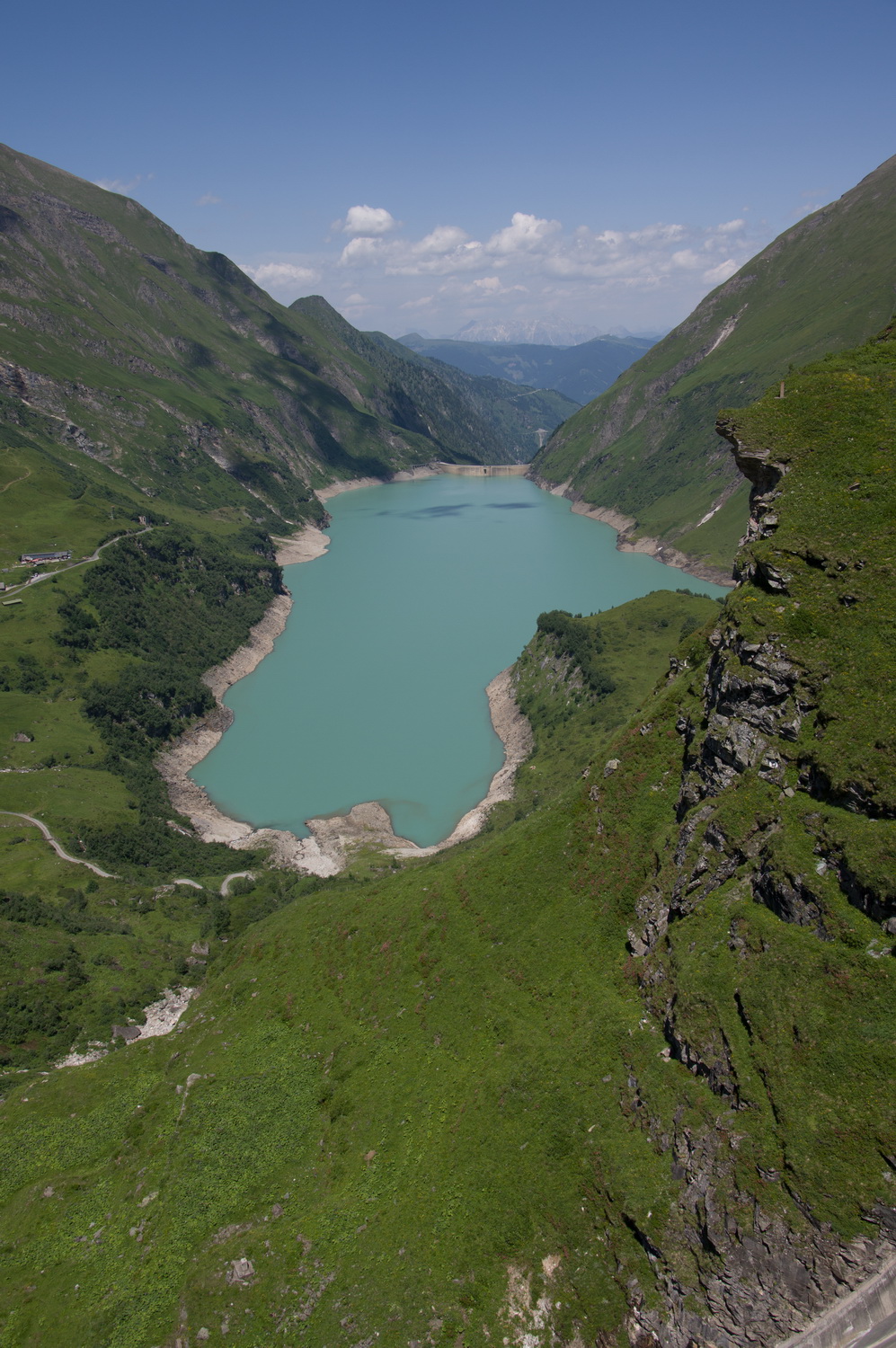
The following day we did a trip to a dam in the mountains. We didn’t go on this bus; I got a photo of it because it showed a particular “local fashion”
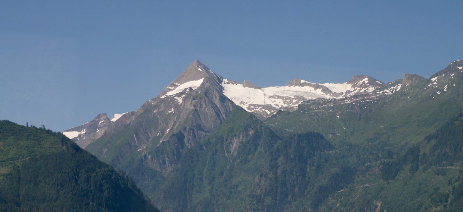
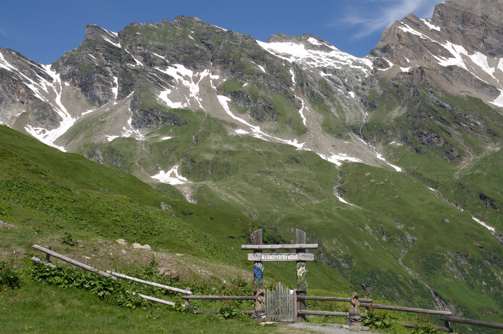
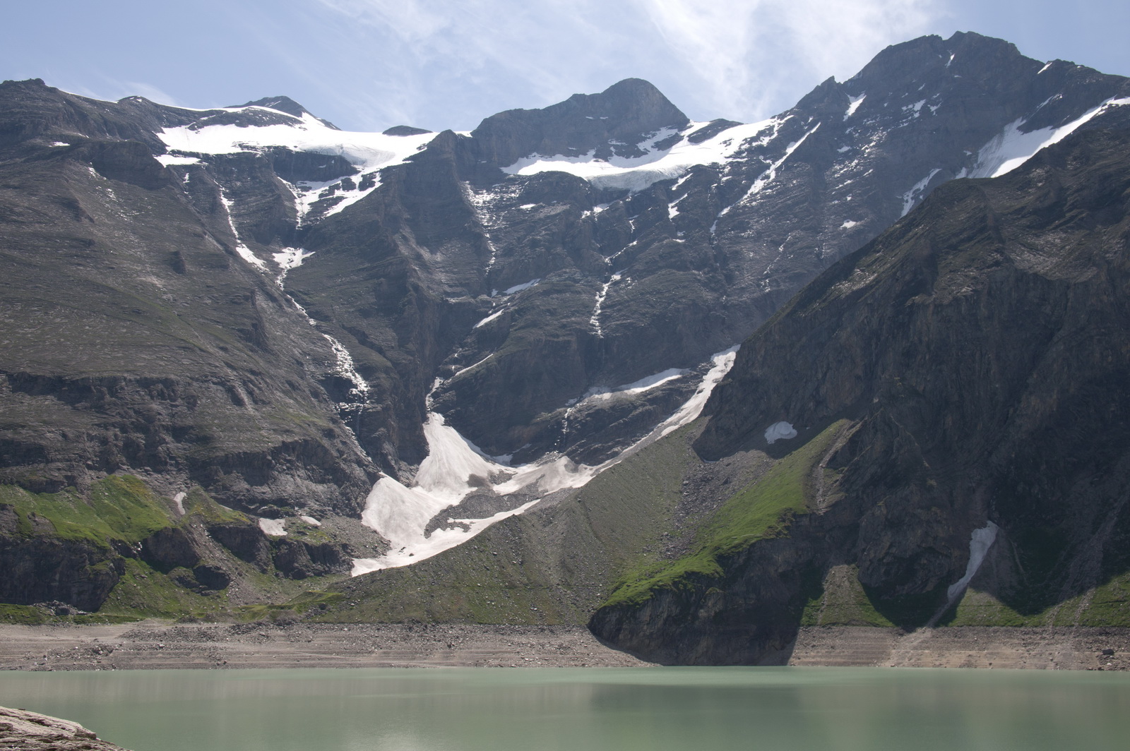
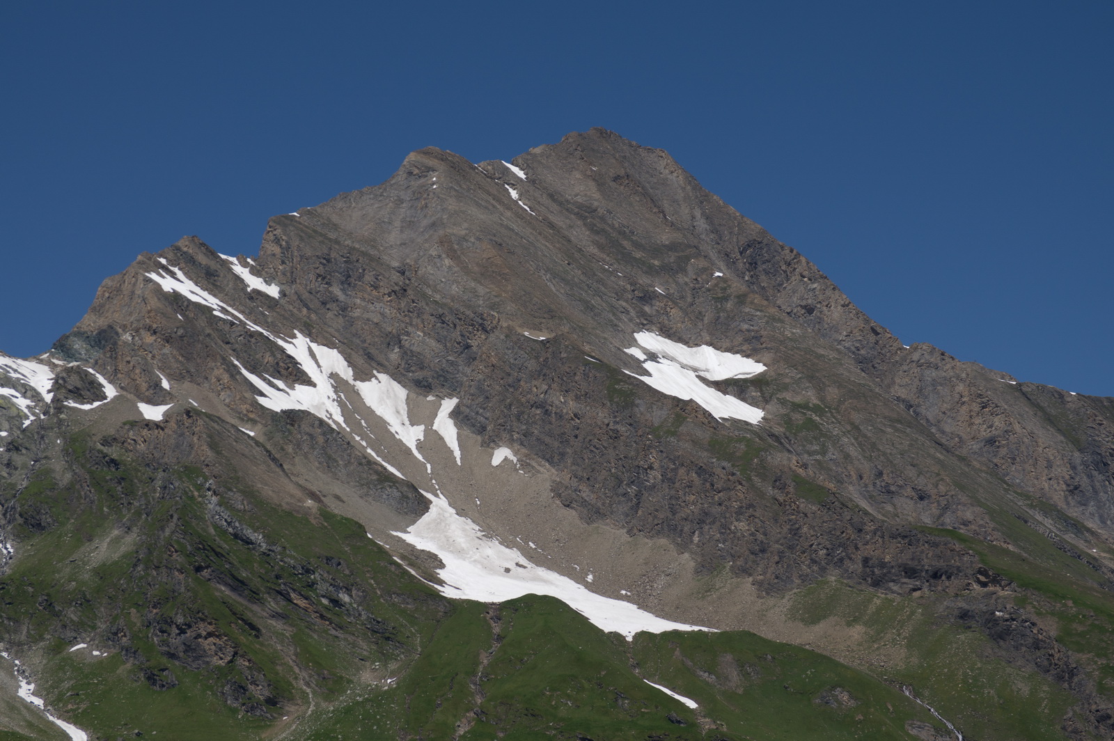
At this time of the year (July) there was just a little snow in the mountains which were around 7000ft
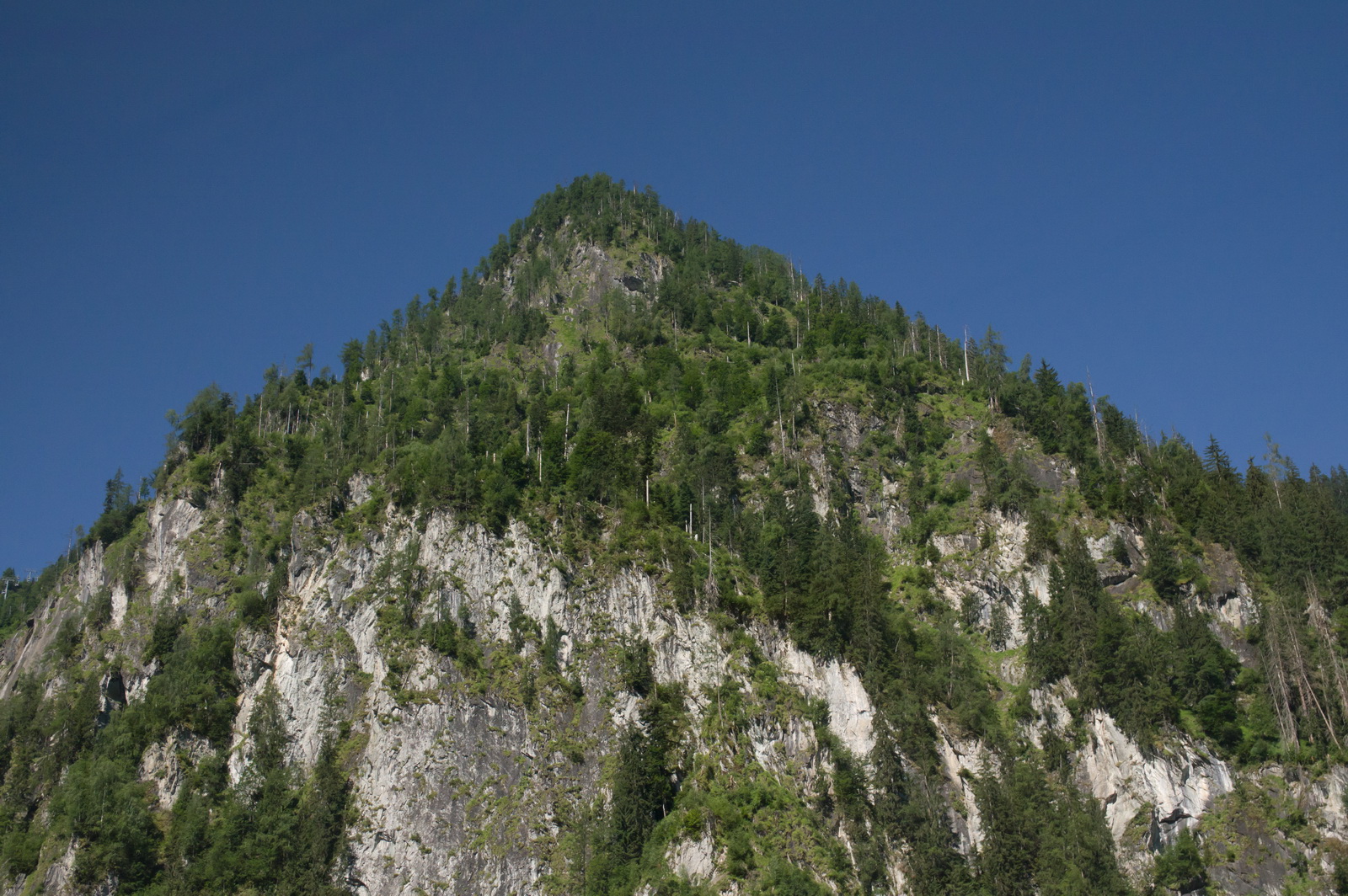
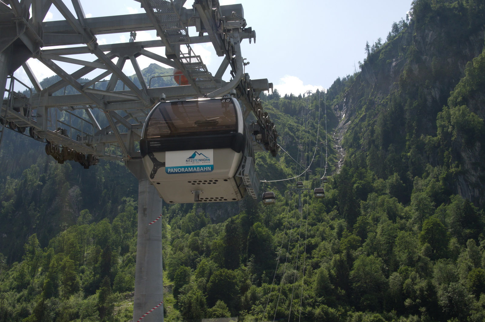
Looking at the numerous ski lifts, there is a lot of skiing here during the winter
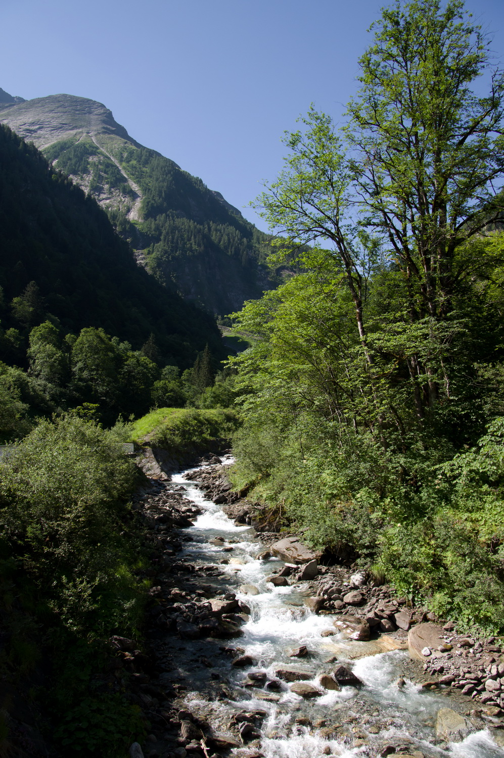
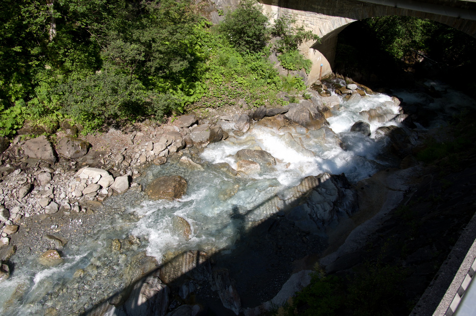
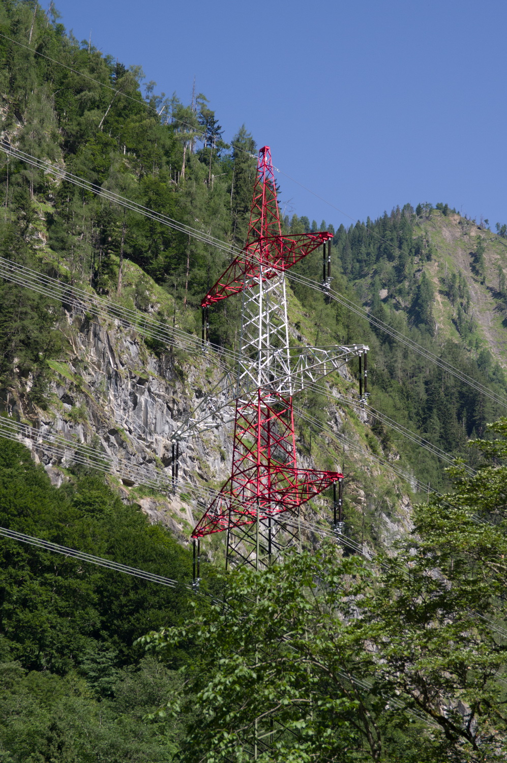
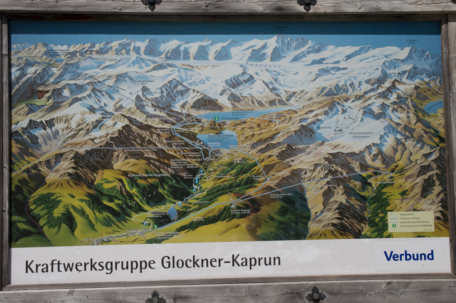
The product of the hydro-electric power station further up the mountains
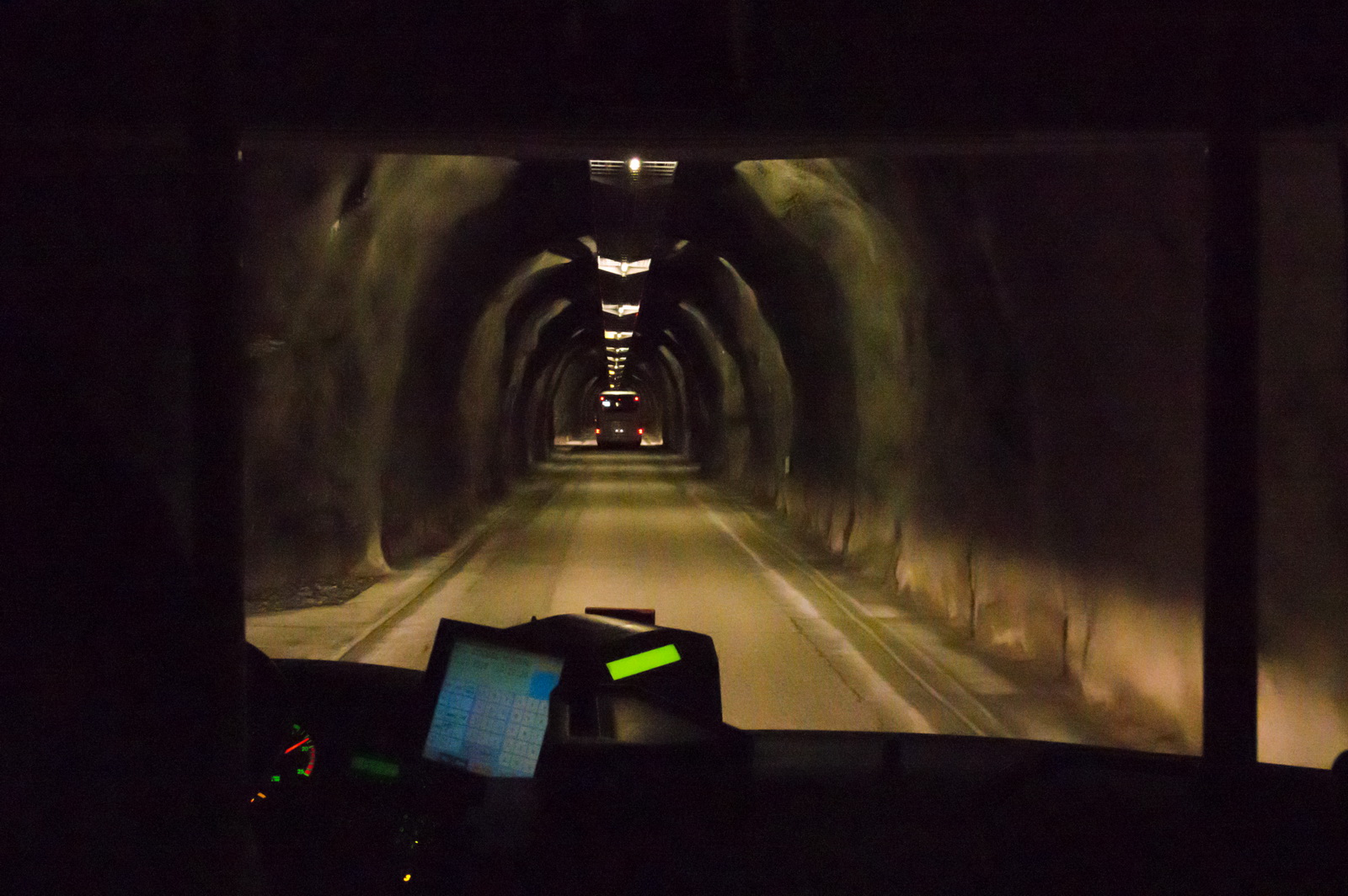
The local bus took us to here – a “base camp”
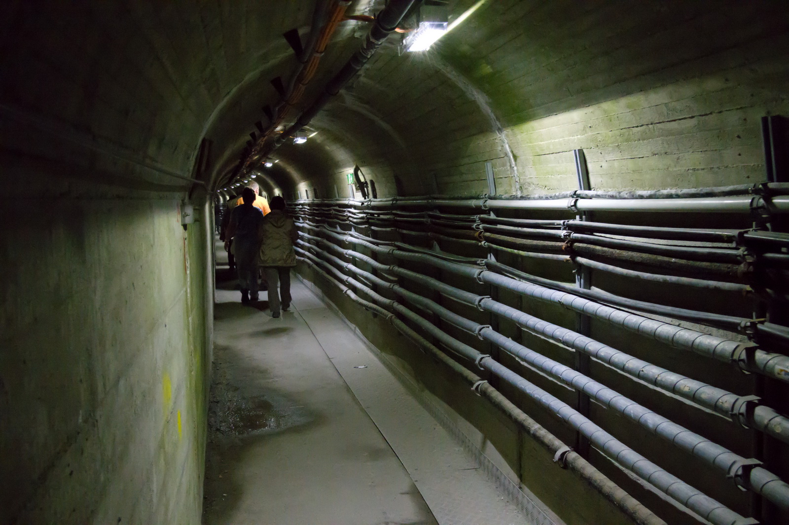
and dedicated buses then did the rest of the way up, mostly on one-way roads running through spectacular tunnels
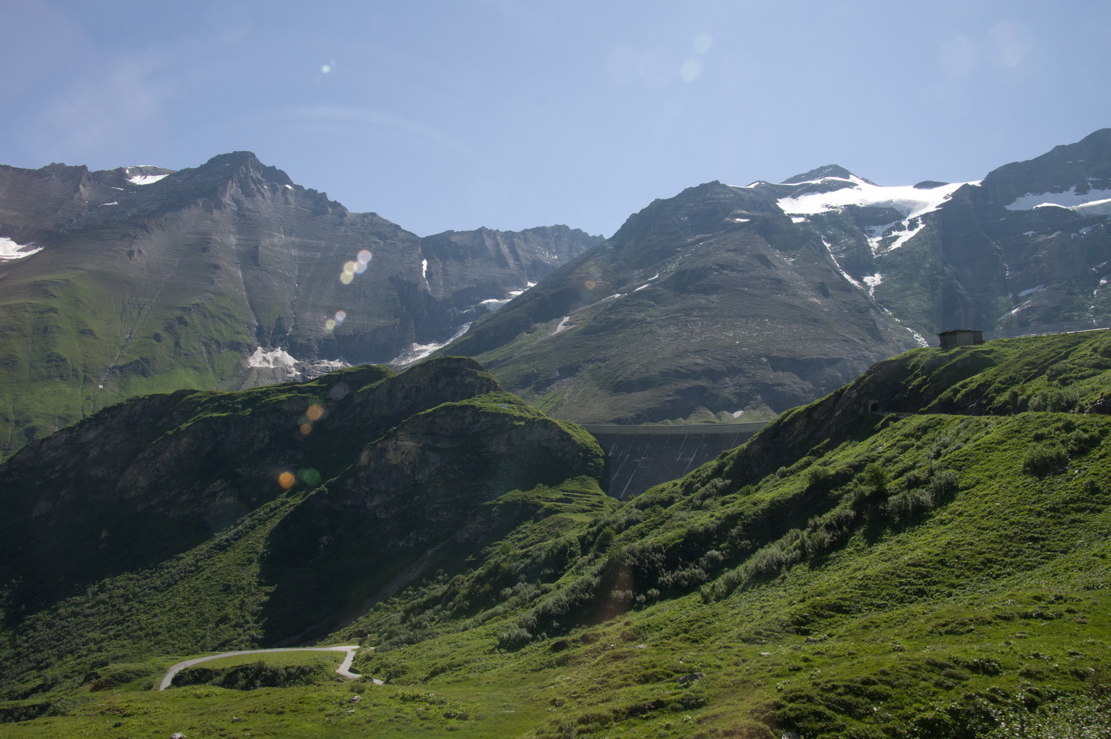
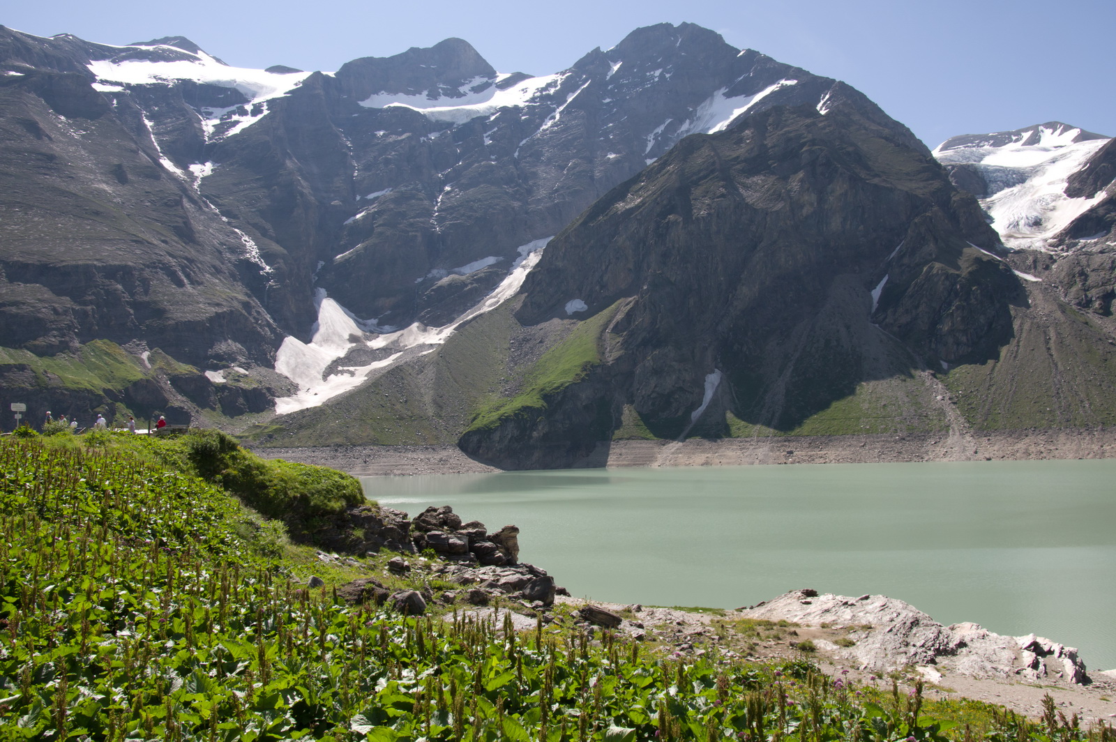
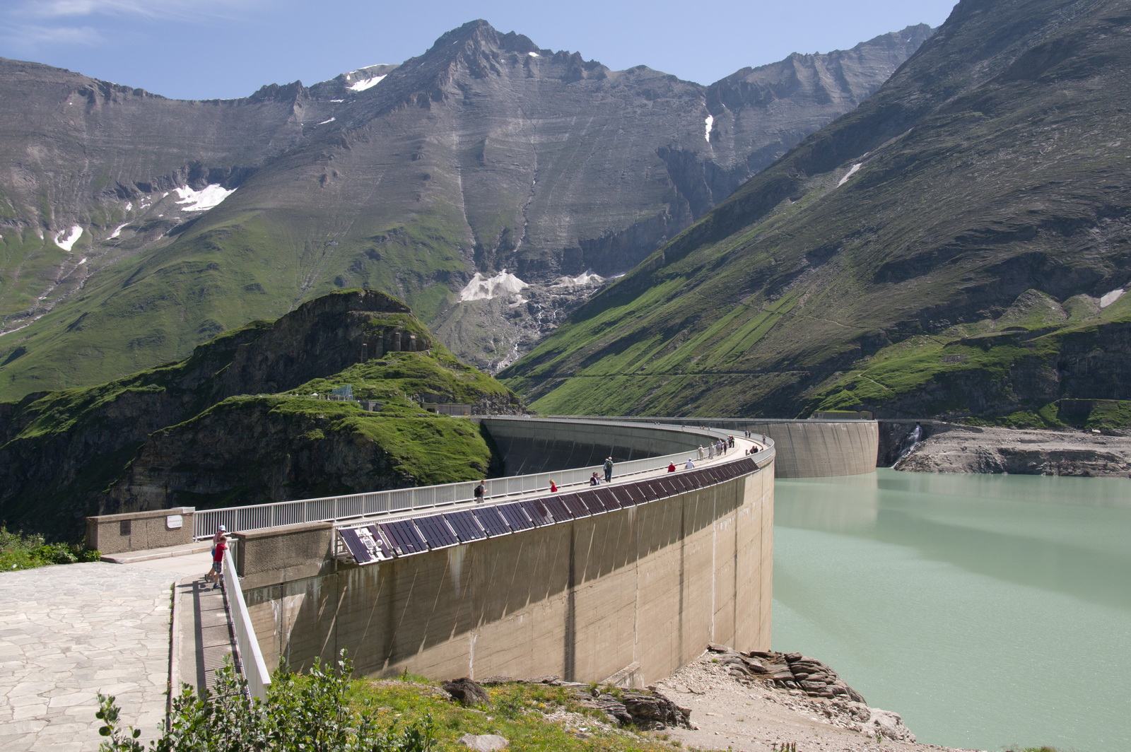
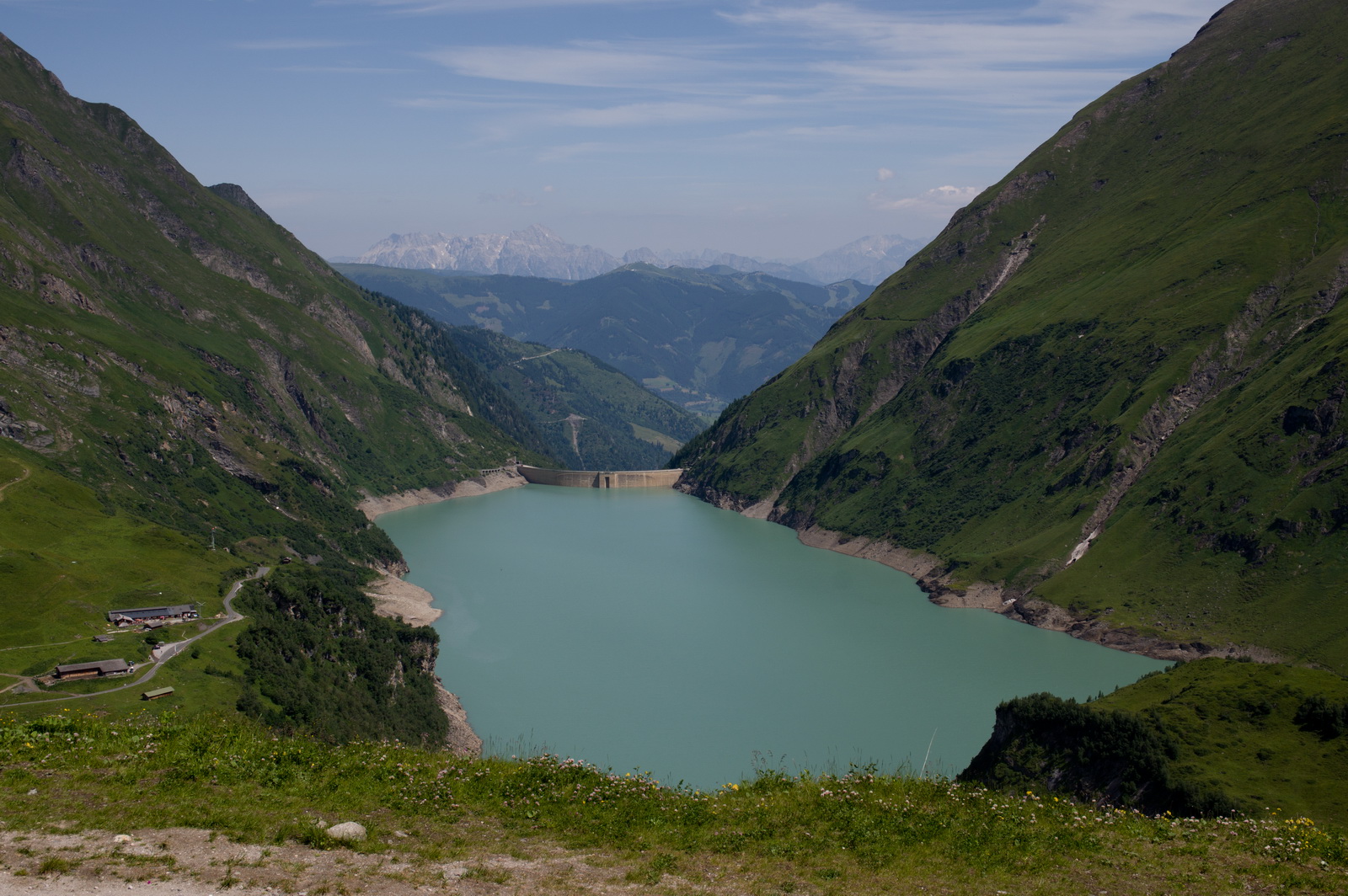
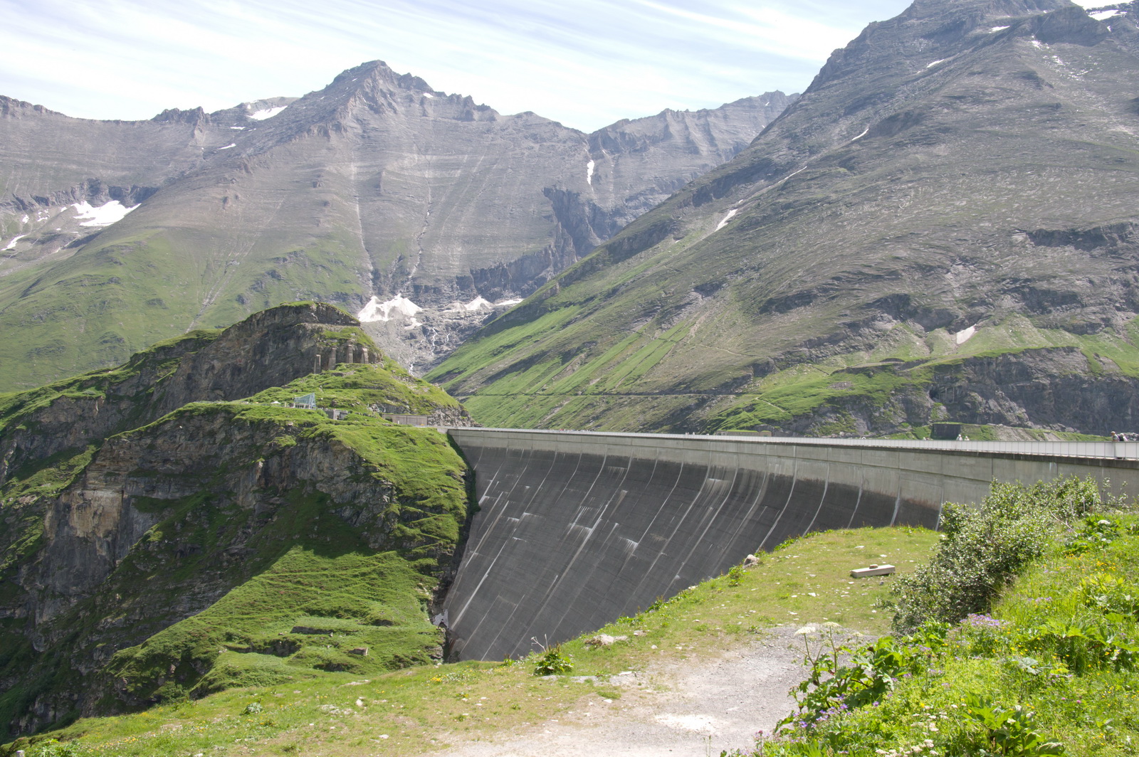
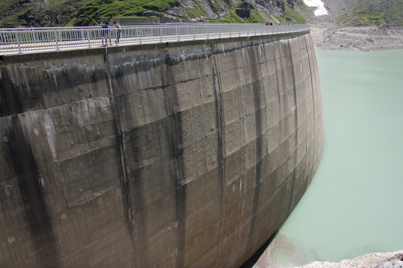
The power station consists of two dams. The upper one (behind me, not seen in this photo) just holds a load of water, and the lower one (below) holds more water and has the generators
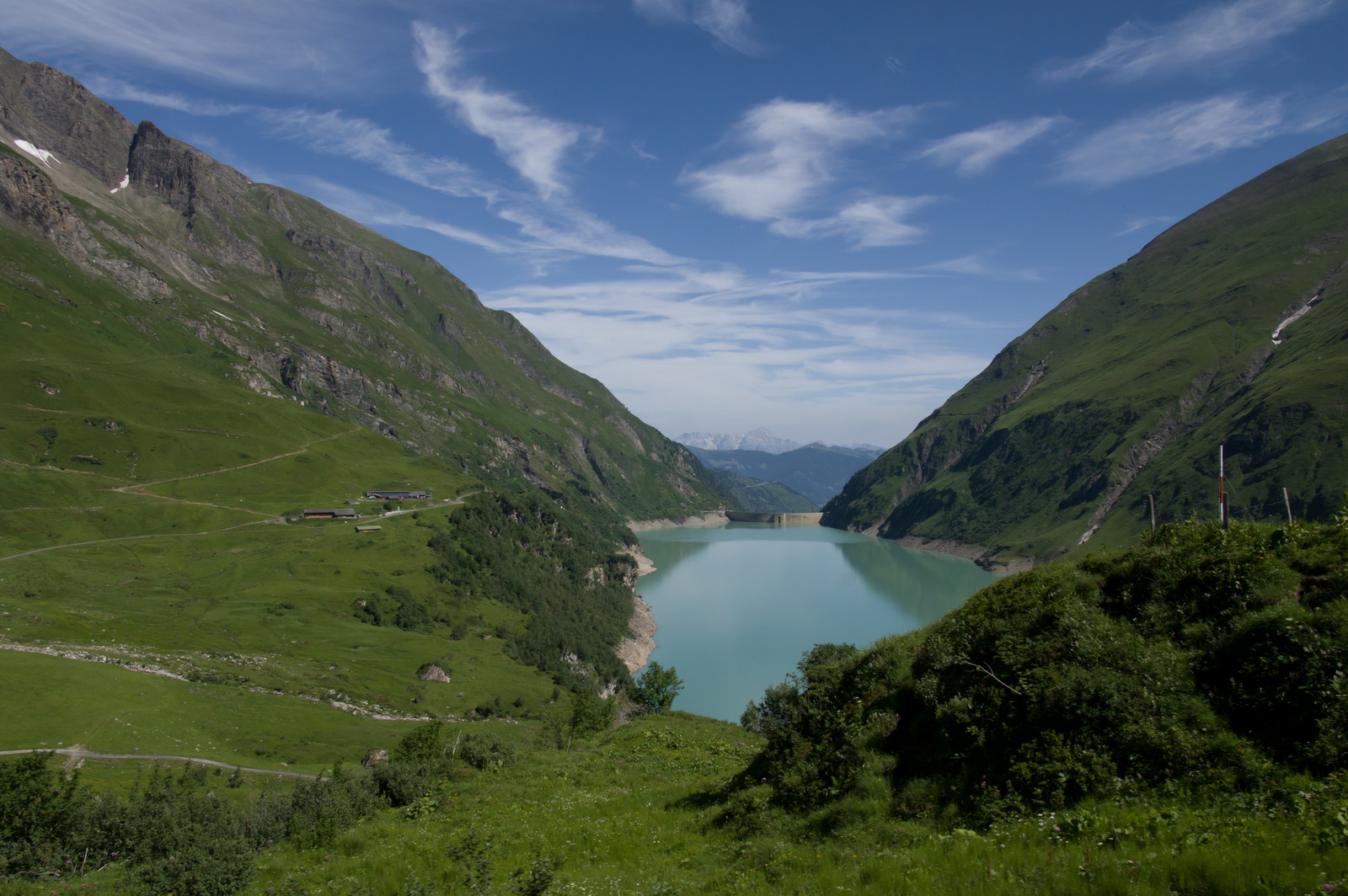
The upper dam

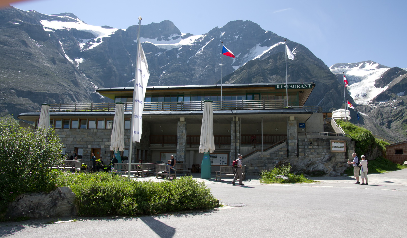
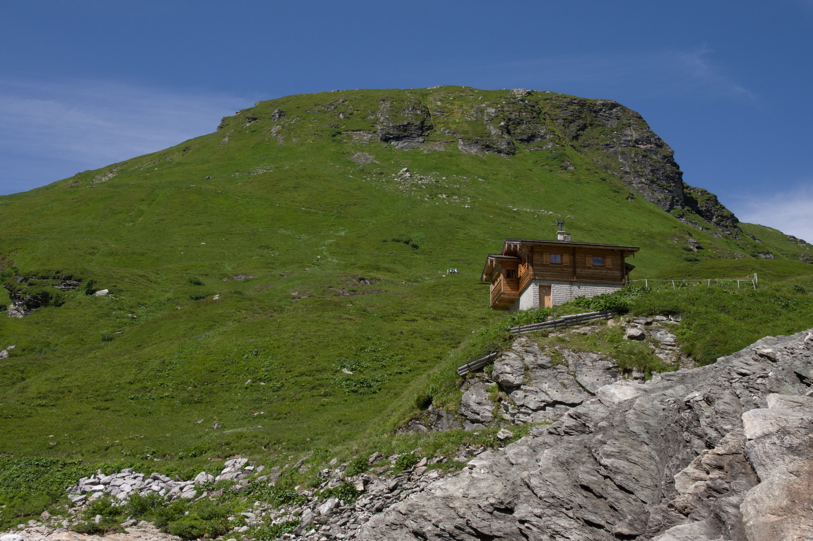
Of course, another restaurant at the upper dam

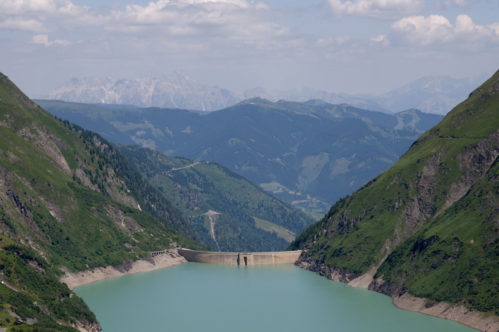
The upper dam
One just can’t help doing the scenic shots
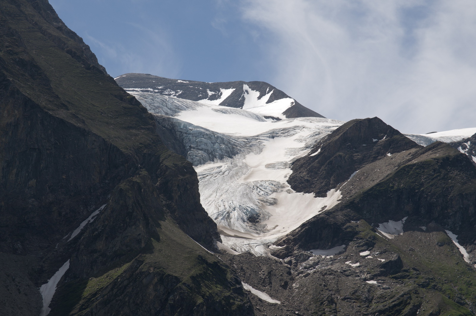
One of the glaciers which feeds the upper dam. It is estimated this will run out around 100 years from now…

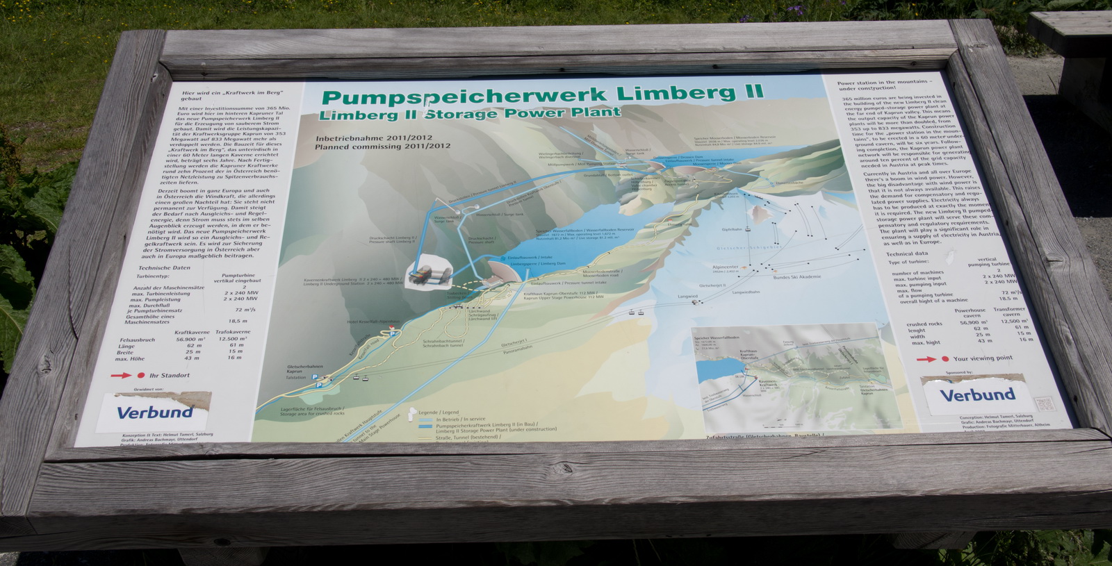
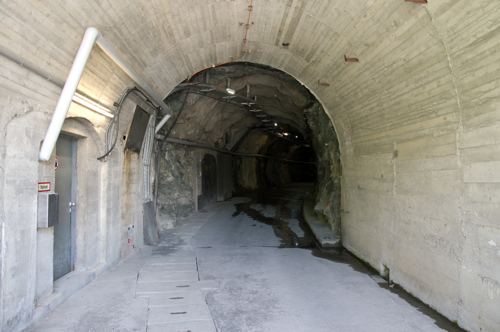
The upper dam has a guided tour through a tunnel.
The water level is currently about 30m below the maximum. It rises through the summer and falls in the winter


We are on our way back down now… more ski lifts
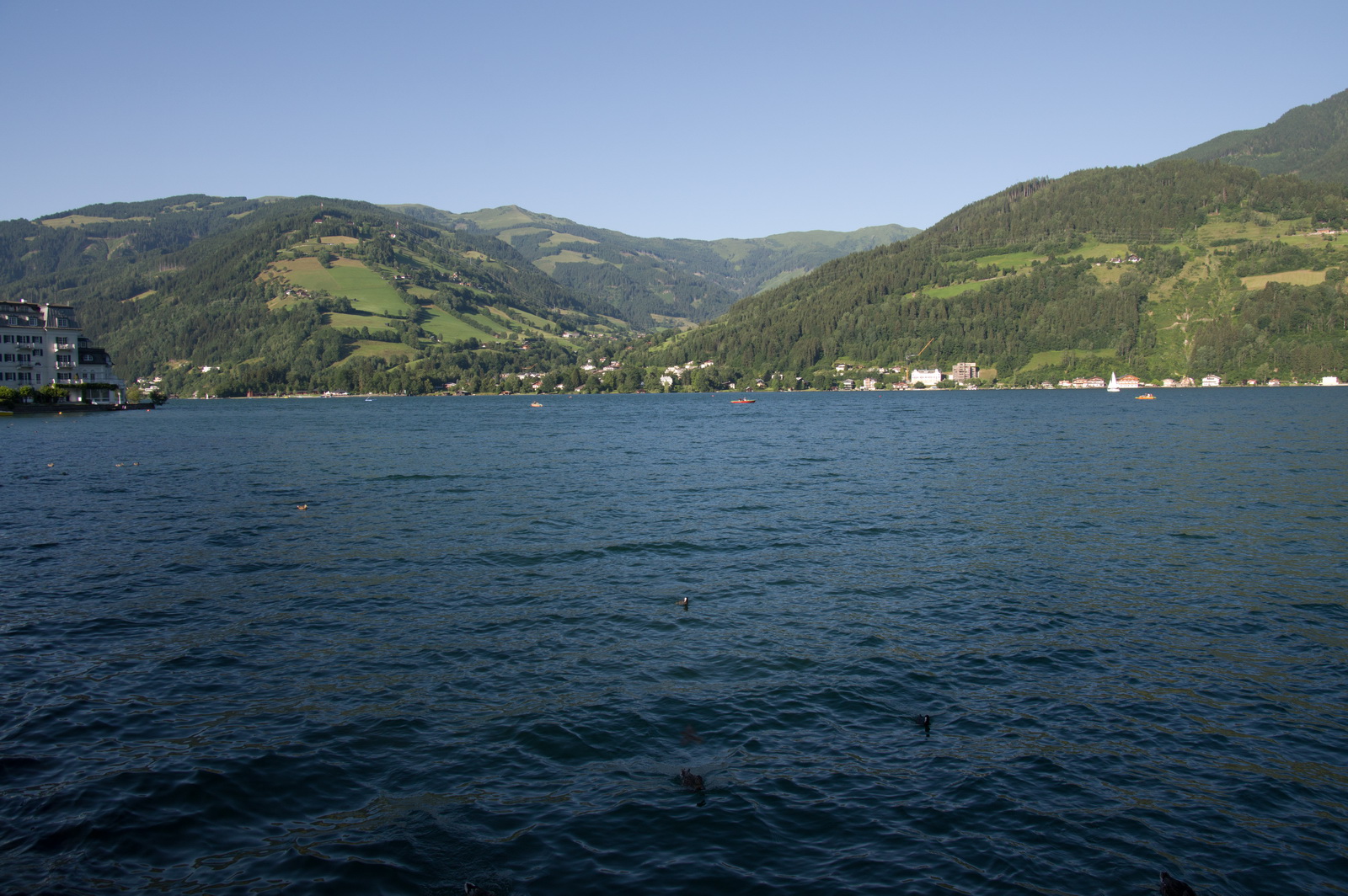
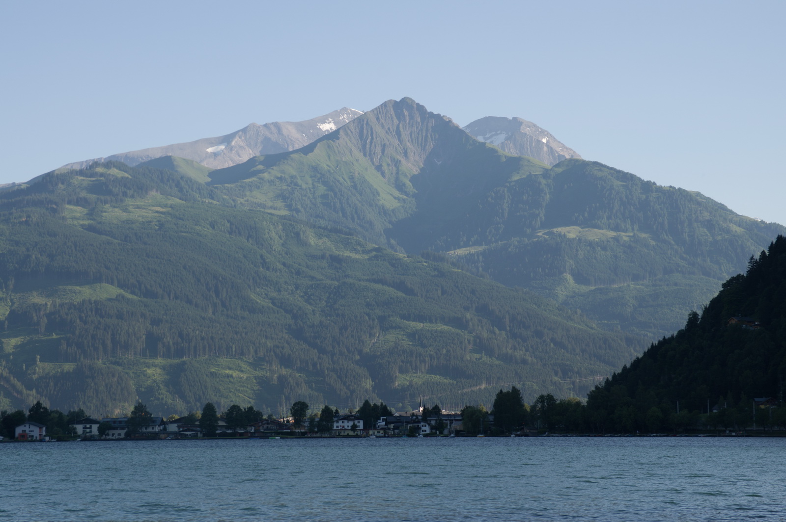
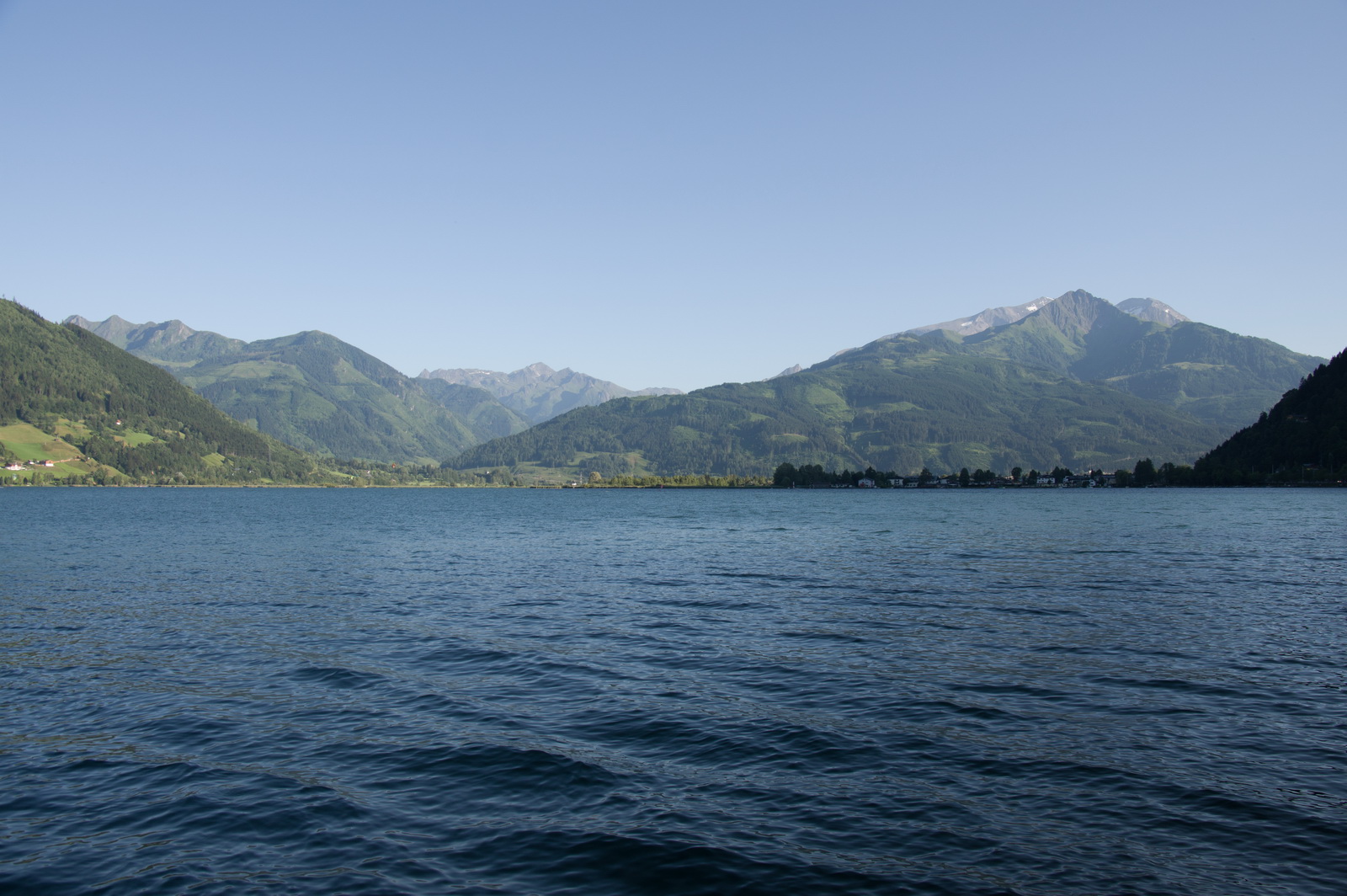
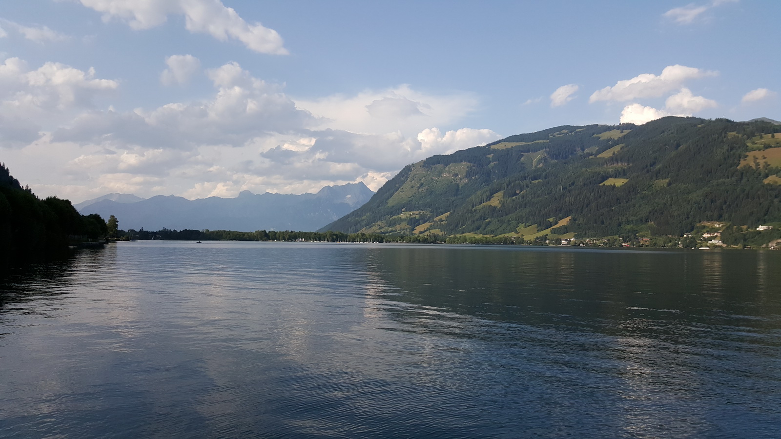
The Zell am See lake
In the town… we stayed in an AirB&B apartment which was great value and just around the corner from the middle of everything. It turned out to be an apartment in an apartment block but it was operated by a hotel next door from which the keys were collected. I guess the hotels think, of AirB&B, that “if you can’t beat them, join them”!

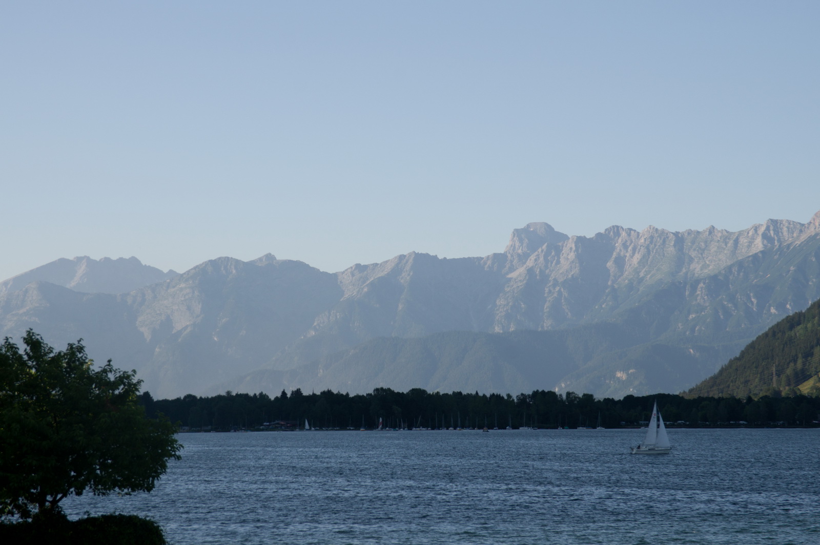
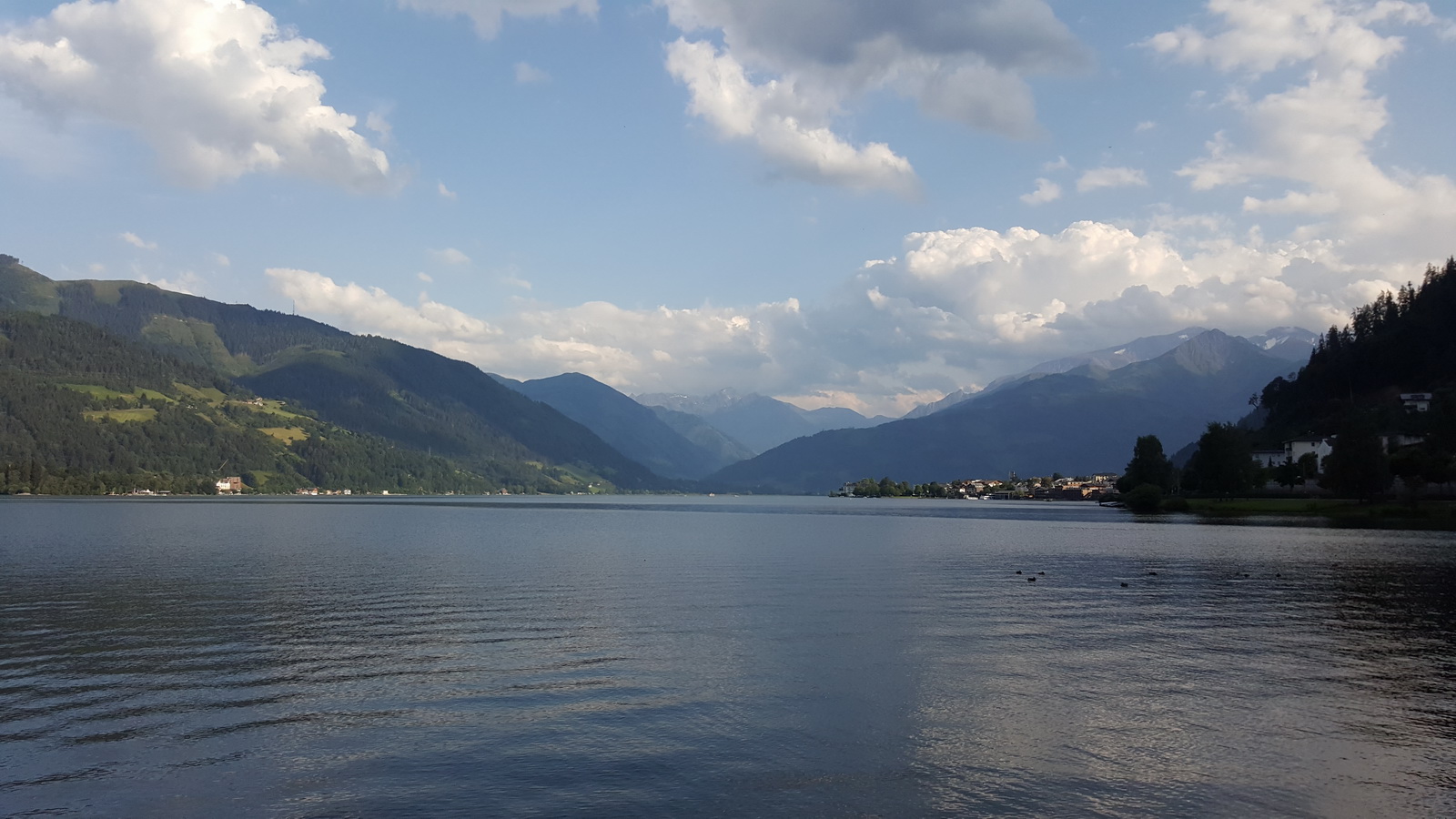
This is a view from the north end of the lake, looking south. If you depart on 08 and want to fly to the north (via the canyons to Salzburg), you turn left after departure and end up flying towards the camera in the photo below
Overnight was a huge downpour – evident here and here.
Return flight Zell am See – Shoreham 12th July
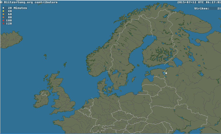
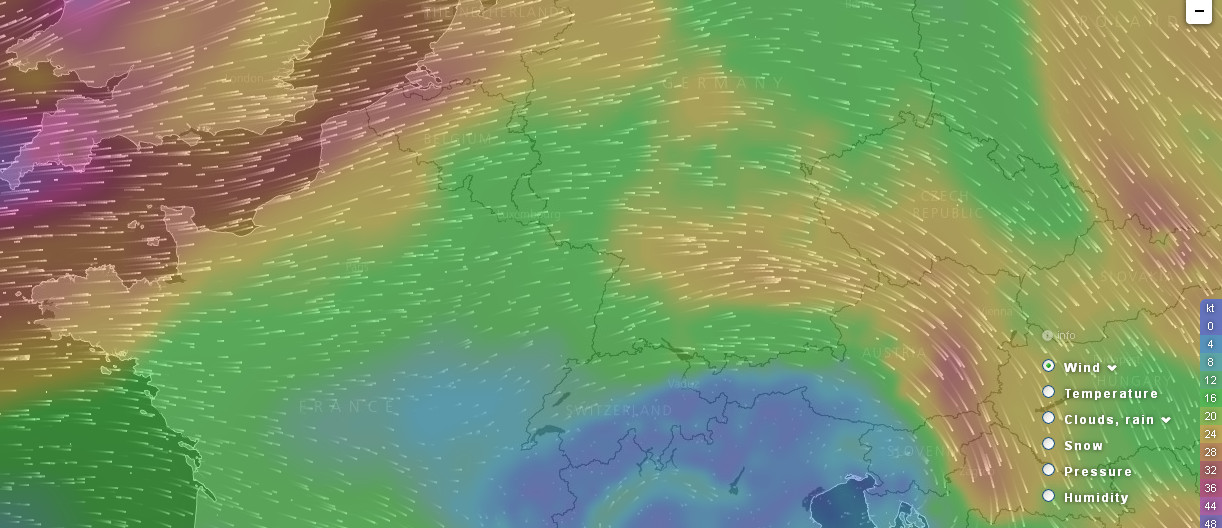
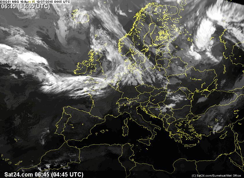
As expected out the outset on this trip, the departure weather was not so good at the UK end: TAFs/METARs (showing cloudbases on the UK coast right on the Shoreham RNAV 20 approach minima of 800ft, and no TS activity) IR (showing scattered cloud tops around FL200, but they could have been high cloud which is not relevant) Radar (showing significant water content which is usually at lower levels) Sferics (showing zero lightning activity). The winds (from the new Windyty site which plots the GFS model) would also be mostly headwinds, around 20kt and becoming stronger at the UK end.
The 0600 1200 1800 MSLP suggested the earlier one could get going the better, with the trough at the Austrian end suggesting scattered showers later in the day. The weather on the following day, 13th, was worse at the Austrian end, and the day after that, 14th, was worse still!
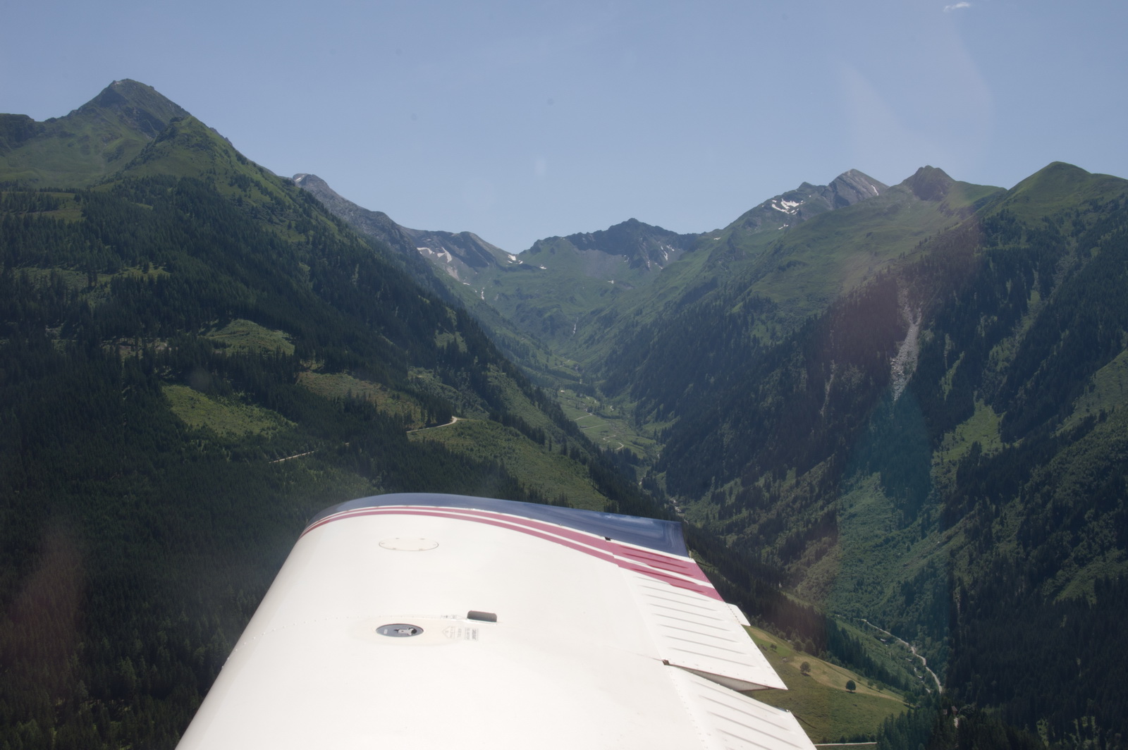
The following morning, back at the airfield. The skies were clear, which allowed for a straightforward departure, up the same canyon through which we arrived

The view up the canyon
Three very strange machines getting ready for a flight… They appeared to be doing pleasure flights for the locals
We arrived almost 2 hours before the filed departure time. This was just as well, since the airport forgot to notify Customs 2 days earlier, and the 2hr PNR requirement meant we had to sit there and wait out the 2 hours. They were totally strict about it. You just had to sit there for 2 hours after the staff made the phone call; evidently the police reserve the right to turn up, or not, and won’t tell anybody (not even the airport staff) if they will, or won’t…
We departed on 08 again, and the VFR Approach Chart
requires a left turn, out over the lake, due to NIMBY noise protests. I started doing that but the tower were watching me like a hawk and halfway through the turn told me to go further out over the lake.
I changed the left turn into a sharp right turn to comply with this pointless instruction and at that point we got a TCAS warning of another aircraft, same level and veryclose (a few hundred m at most). We never spotted it, but I climbed up as hard as I could without stalling to try to outclimb it. He was climbing too, unfortunately… after some tense tens of seconds he dropped back and turned away. It may have been a glider. The ATC comms were mostly German so one had no idea of other traffic…
ATC wanted repeated position reports, and a final report abeam WHISKEY, after which they told us to change frequency enroute.
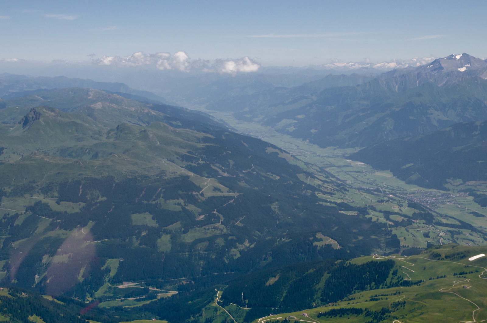
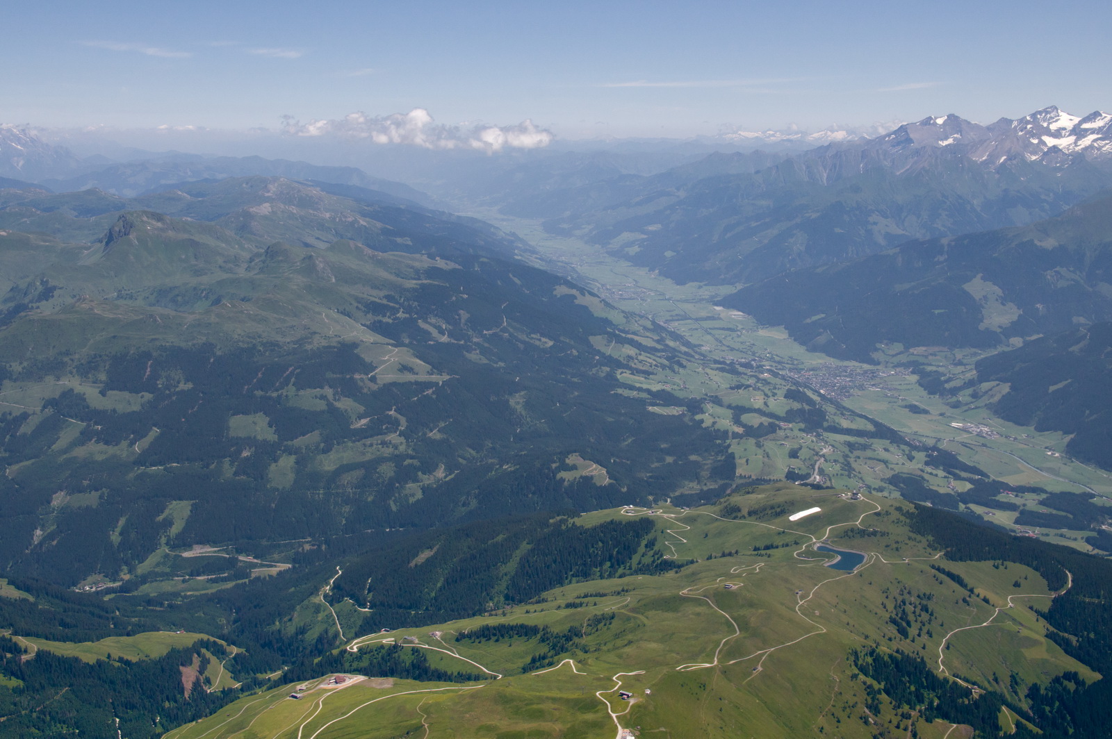
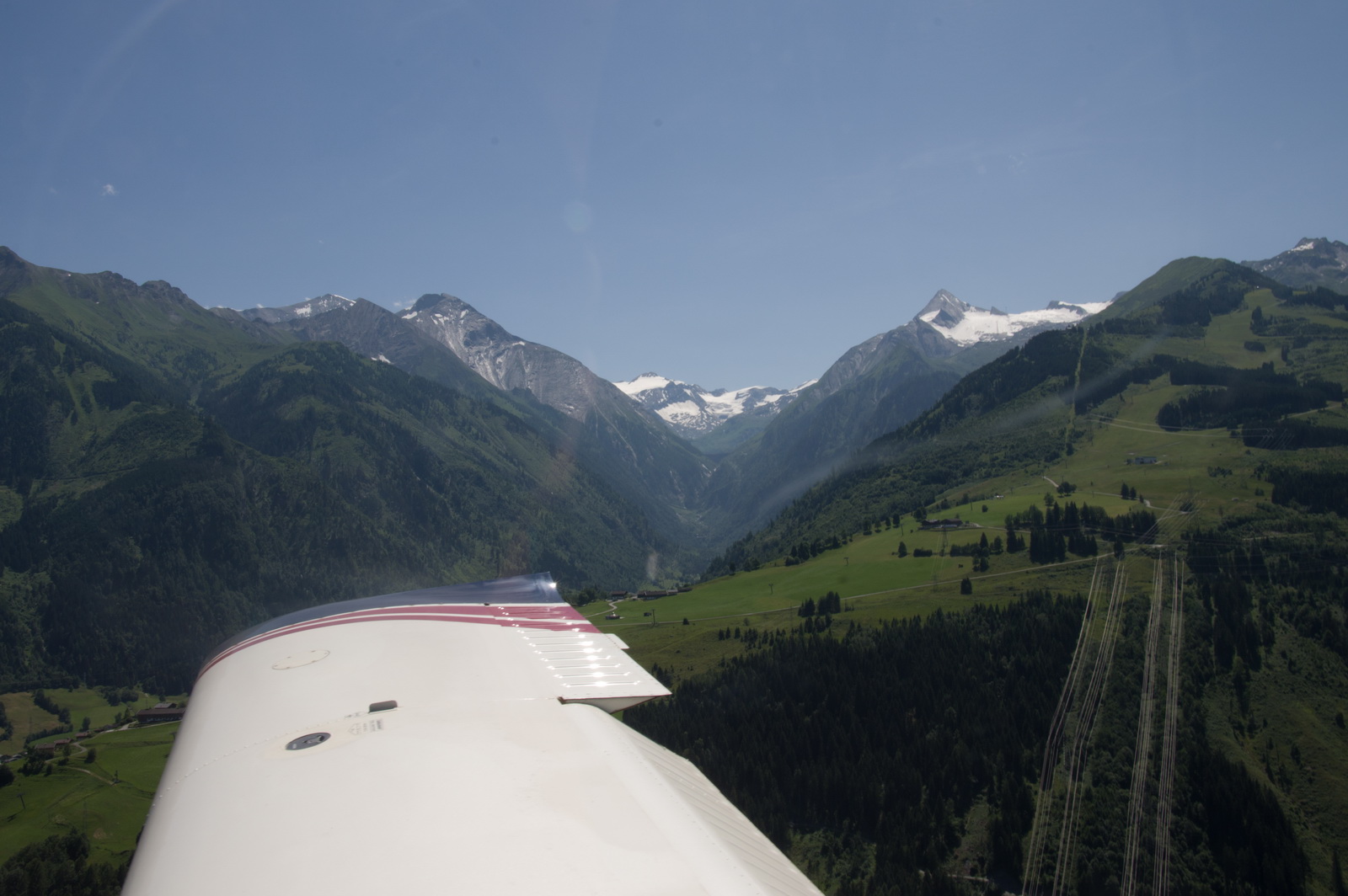
We flew back up the same canyon and climbed to about 8000ft before turning right when it was obvious we were above the terrain, by reference to the VFR chart.
Here we are, FL110 and having climbed out of the canyon, and turning to the north-west
I was unable to contact the frequency used on the way in (Munich) so called up Innsbruck which was clear and they arranged the IFR clearance
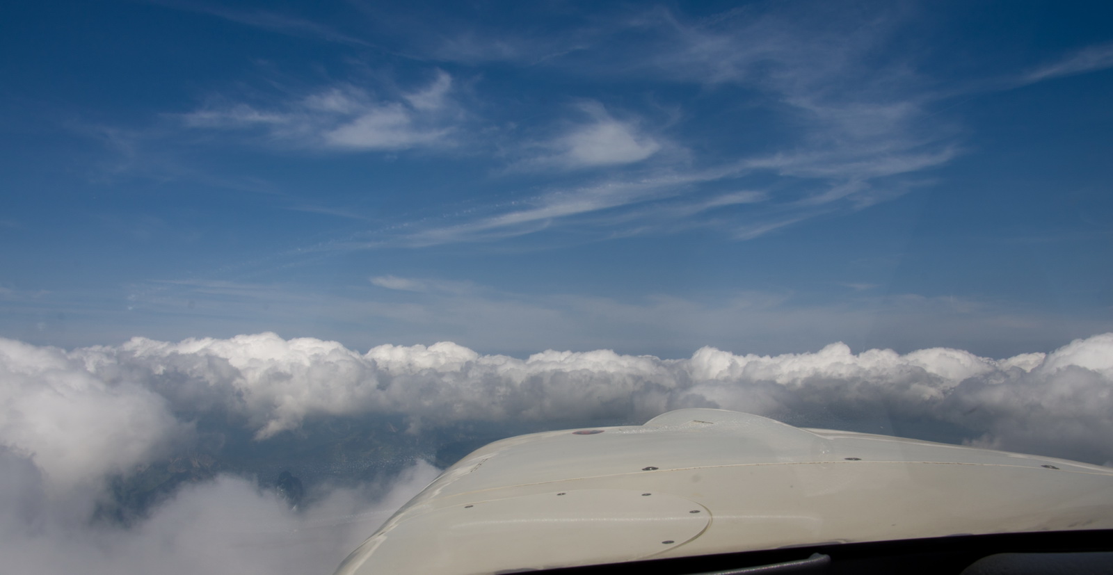
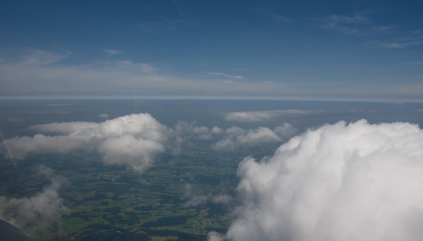
FL100 was just right and over Germany the cloud thinned out
A nice long 115nm DCT to Brusells
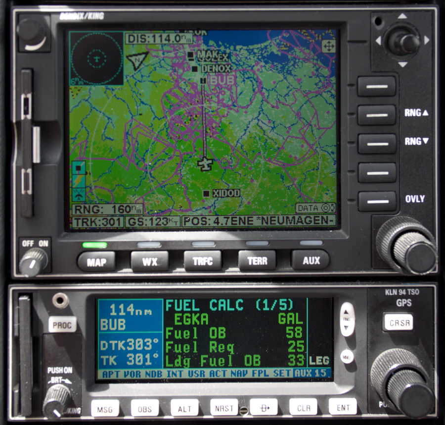
There was about 25kt of headwind at this point which showed itself in the LFOB of 33 USG
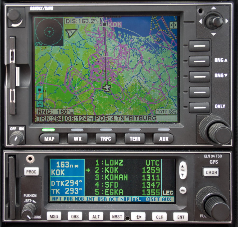
Then we got an even longer DCT of 163nm to KOK (on the coast of Belgium). This is unusual and was probably allowed because on the Sunday most of the military activity is shut down
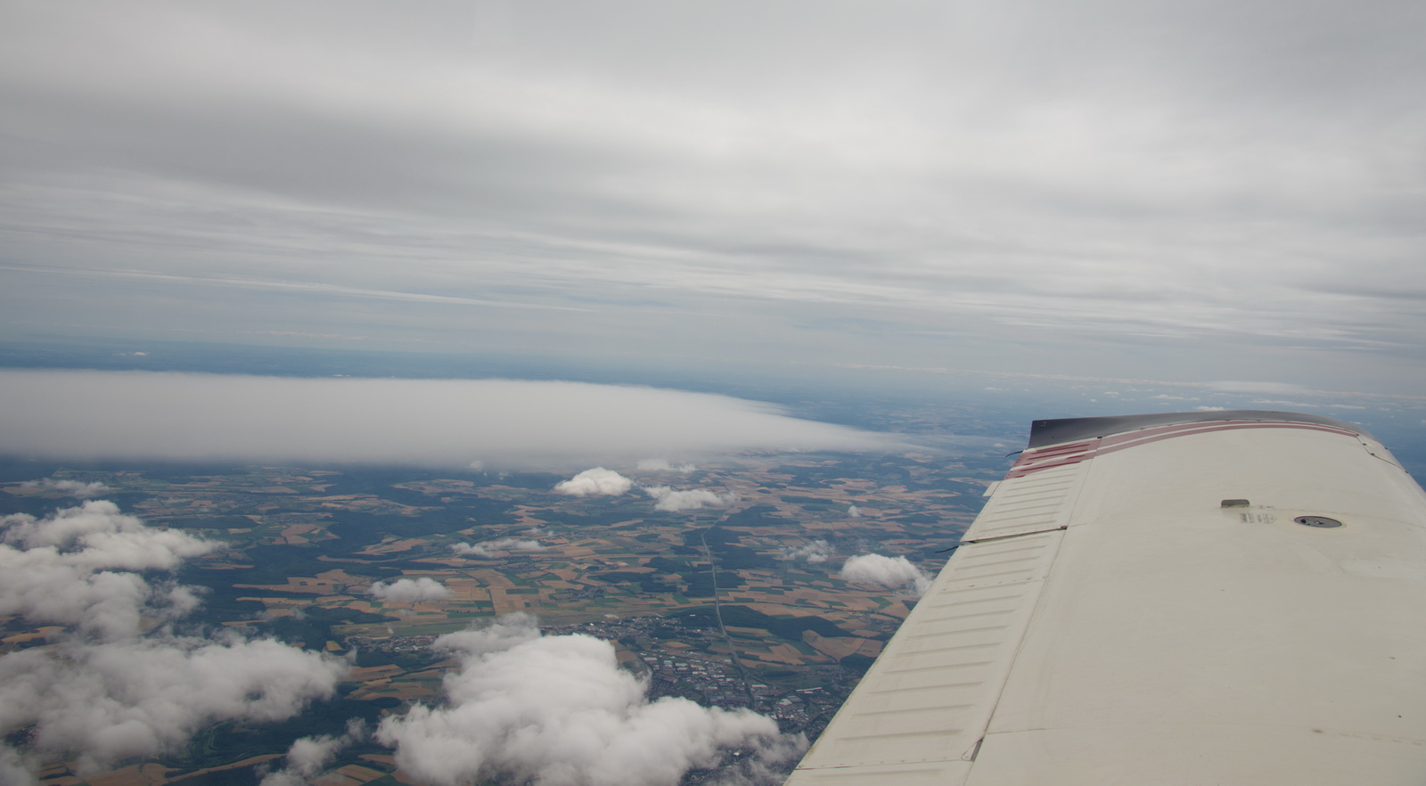
Here, the worsening weather near the UK was starting to become visible
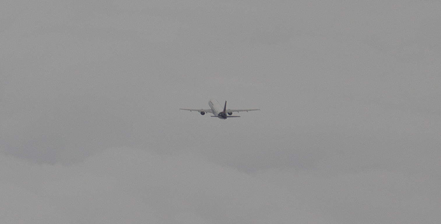
Apart from around the two airfield areas, this was the only aircraft we saw on the whole trip
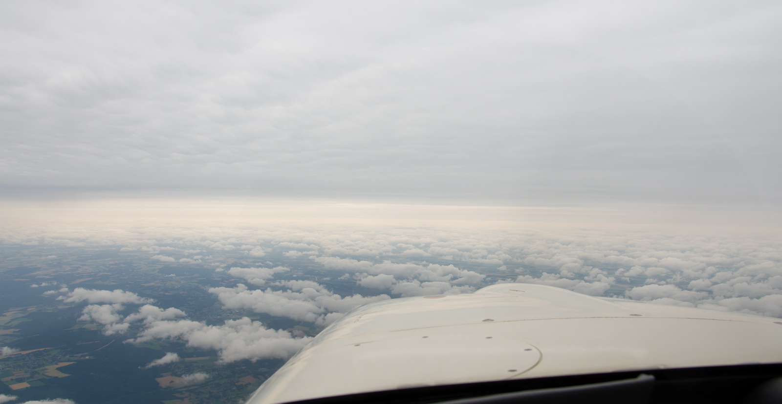
The rest of the flight was in IMC and light rain all the way, in about +3C so without risk of icing. It was clear from the weather data that there were no embedded TS so this was OK, and there was no turbulence. The headwind increased to 39kt at the UK end so we were expecting a pretty rough arrival.
Around Brussels the temperature dropped to +1C so we descended to FL090 and it came back up to +4C.
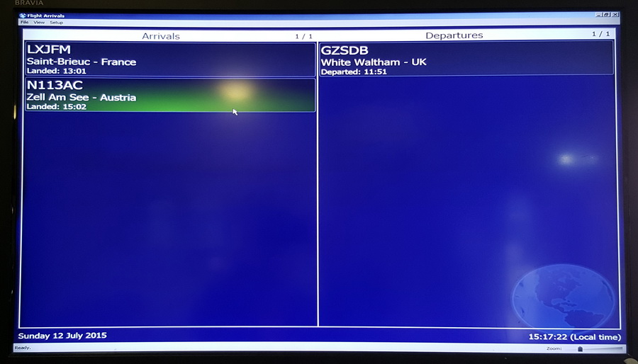
The wx at Shoreham was right on minima for the 20 GPS approach (800ft) and with a strong gusting wind up to about 30kt, 30deg off the runway. The airport was dead and we were one of just two arrivals that day, the other being a PC12
Landing was with 31.1 USG – enough for nearly 3 hours in cruise.
The following video was taken with the Canon Legria HF G10 video camera which is a “semi pro” model with a manual shutter speed option which, when set to about 1/120 sec enables shooting through the propeller without getting the prop effects which all the “webcam”-type cameras (e.g. GoPro) suffer from. The G10 is now obsolete and probably the best option would be the Canon Legria HF G25 which costs about half of what I paid for the G10 One can get much cheaper video cameras but they don’t have manual shutter speed control which makes them poor for use in propeller aircraft.
Video (384MB, 720P)
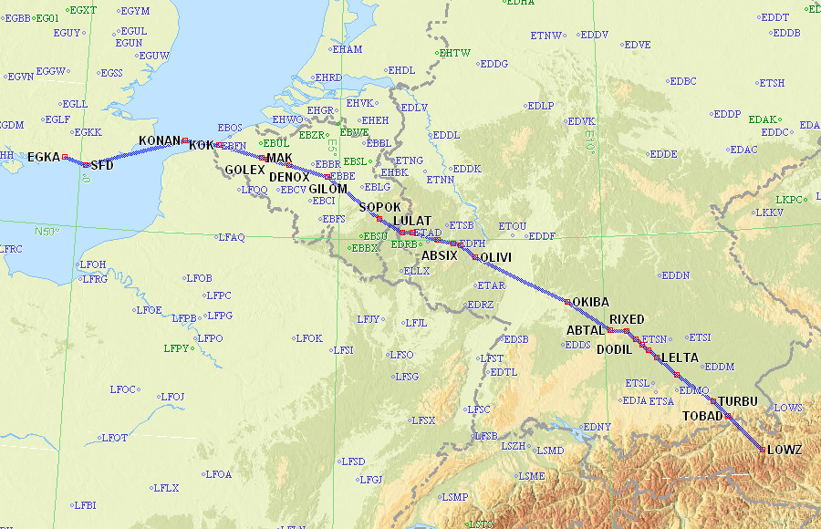
Actual tracks flown (actual in black)
Outbound
Return
Airport costs – Zell am See LOWZ (July 2015)
International landing fees :
Customs fees :
PAX fees (if any) :
Parking fees :
General
This flight provided another good opportunity to test the amazing new weather facility delivered over the Telegram messaging function (available free of charge to users of the EuroGA autorouter). It can deliver the usual TAFs/METARs and various graphical products including the GRAMET forecast profile. You can find details of this on EuroGA - search for “Telegram”.
The Telegram app is available for smartphones running Android or IOS, and exists in desktop versions (Windows and Mac). It is similar to the much more popular Whatsapp instant messaging app. The weather facility was originally implemented on Whatsapp but Whatsapp prohibits delivery of any machine generated data, and they banned it within hours. Telegram specifically enables this usage and has various improvements over Whatsapp. One of them is an instant concurrent and very slick sync between an app running on a phone and an app running (on the same user) on a PC, and the PC app works even when the phone is offline. Another is better privacy, especially after Whatsapp has been taken over by Facebook so Facebook now has everybody’s mobile number and is using the data to trawl for “people you may know”… These instant messaging (IM) apps are taking over from SMS for various reasons. They work over any mobile data connection and thus – in nearly all situations – they offer a far more reliable delivery. For person-person messaging, you can tell when your message has been actually seen (when it is presented on the phone, on top of other apps, with the screen saver off, etc). With SMS you can tell only if it has been delivered to the phone. Of course, some people prefer that you can’t tell if or when they have read your message, but they are probably not the sort of people you want to waste your time with More info here
The Telegram app needs an internet connection and there is no magic solution for that using cellular data above a few thousand feet, but on a flight of several hours one can get maybe a dozen opportunities for it to get online and send/receive the messages. It works best in mountainous regions (where the mobile towers are configured to point slightly upwards, and works much better where LTE (also called 4G) is available. 4G is a separate network from the normal GPRS/3G networks and – crucially in this application – is much faster in setting up the connection (the whole DHCP etc process happens in about 1 second).
However, for high reliability a satellite phone is still required and I use the Thuraya XT. This now has Windows 8 drivers and I use it, over a USB connection, to get a 50kbit/sec data connection with the Lenovo T2 tablet. At that speed one can access most weather websites, although I tend to use a couple of private sites which access the well known ones and strip off the advertising. The cost is about $6/MB which is very reasonable for this application.
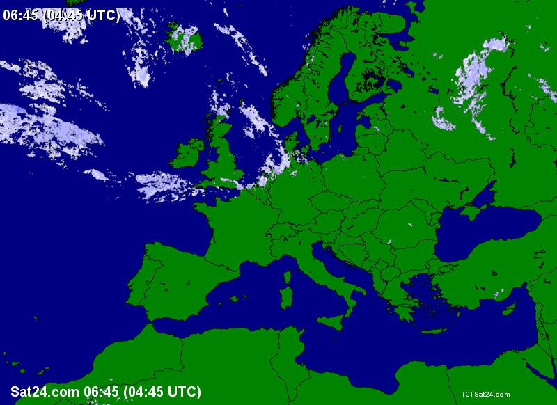
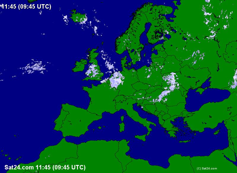
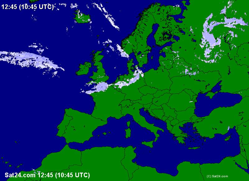
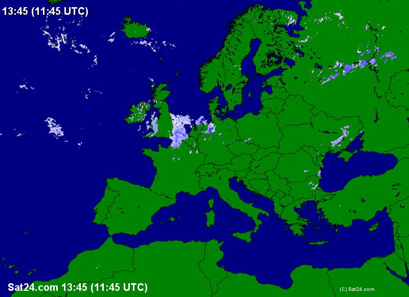
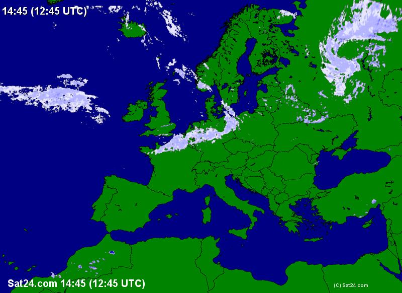
These are some screenshots from the Samsung S6 phone which were obtained during the flight, during intermittent periods (lasting only seconds each) of 3G/HSPA or LTE (4G) data availability:
Radar: 0445 0715 0945 1045 1115 1145 1245 1415
IR: 0445
GRAMET
Due to the fast user interface (WX EGKA EGKB EGKK EDDM LOWX delivers the TAFs and METARs for all those airports in about 1 second) I use the facility routinely for ground briefings too.
This was a really “high value” trip, perfect for a meet-up in a scenic location. It would also be perfect for going skiing to the Alps in the area.
Very little oxygen was used on this trip – probably 20% of the 48 cu. ft. cylinder, for two of us. But without oxygen I would have never attempted it because one cuts off half of the aircraft operating ceiling and in the wrong conditions could spend most of the flight in icing conditions and turbulence. Normally I fly VMC on top but on Eurocontrol routings that pretty well mandates oxygen.
The Value of an IR
Due to the good weather, this trip could have been done under VFR, probably around FL095/FL105, on the way out, and at a low level on the way back, but you would have got stuck at the UK end and most likely diverted to somewhere in Belgium or N France.
Flight times (airborne times)
EGKA-LOWZ 3:55
LOWZ-EGKA 4:45
Gadgets
No trip report can be complete without this bit
Most of the photos on this trip were taken with the Pentax K3 DSLR with the 16-85 lens and this totally outclasses anything which is pocket-sized. Some of the ground photos were done with the Samsung S6 phone which at time of writing has the best camera of all phones in current production. The Pentax photos were taken from the phone in DNG raw (the camera takes jpegs to one SD card and raw to a second SD card) and processed in Lightroom to crop and remove some haze. The other program I use instead of Lightroom is ACDSEE PRO which is easier to use in the way it can be used on any randomly chosen picture folder (whereas the Lightroom workflow is a lot more formal) but most professionals use Lightroom and once you are working on a project comprising of say 100 photos it just works better.
In theory one could do everything needed on a trip with just the Samsung S6 phone. It can be used to get weather, file flight plans, and do all the normal comms with other people. It can even take fairly “ok” photos. I have the Samsung Galaxy T700 8.4" tablet which works really well. It is functionally practically identical to an Ipad (which I have too, kicking around the house) but is much better for a “power user” because it isn’t as restricted as an Ipad. For example it can be expanded with a micro-SD card; say another 64GB. Apple have never allowed any such storage expansion. The tablet also tethers perfectly to the S6 phone for internet connectivity. There is a version of this tablet which takes a SIM card but that is yet another SIM account which needs to be taken care of…
However, I have found that the main thing which a tablet does better the S6 phone is in offering a bigger keyboard. In the end, one cannot beat a proper laptop for sheer productivity, and I use a Lenovo X230-I7 which is does basically everything anyone could ever need and with the I7 processor is very fast – fast enough for movie editing/rendering and faster than most of today’s ~3GHz desktop computers. The X230 is now obsolete and has been replaced by the X240-I7 and here is an example of a version with an SSD which is similar to mine which I upgraded myself with an SSD.
In the aircraft I run a Lenovo T2 10" tablet with Windows 8 and this runs everything needed. It could be replaced with an Android tablet but it is very fast in rendering PDFs (terminal charts, etc) and runs Oziexplorer which I use for VFR charts and the topo maps shown earlier in this article. It is also really solidly made. The current version of it is here.
This page last edited 5th August 2015