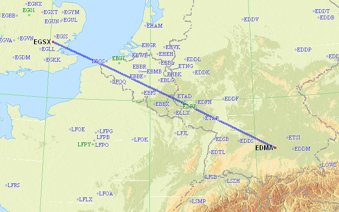
For simplicity a straight line between EGSX and EDMA works. The route will be something along the lines of:
EGSX N0168F160 NEPNA DCT DET L6 DVR L9 KONAN L607 GILOM M624 DIK M150 KRH Z729 LBU L173 RIXED Y161 DODIL EDMA
What is the proposed route?
As I am planning the above trip for the upcoming weekend, and having looked at the weather patterns over the last few days there are a couple points I’d like to get some thoughts on:
Any thoughts are welcome and again really appreciate all this helpful ground learning.
__Peter wrote:
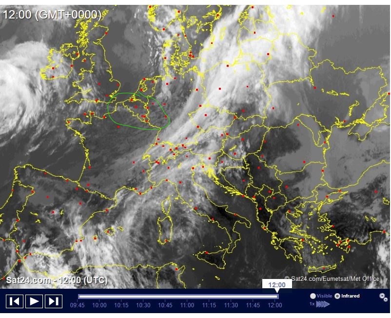
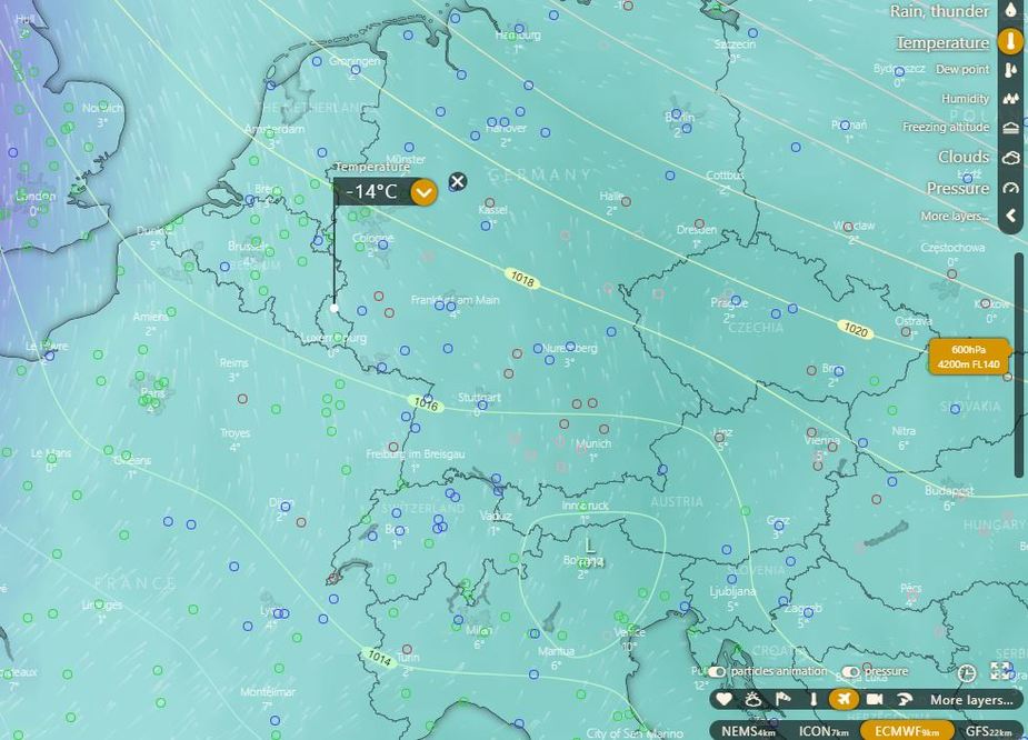
Does Topmeteo present the EUMETSAT IR image spectrally corrected for actual temps aloft?
__Peter wrote:
I believe quite a lot of data is returned by airliners, over ADS-B, though perhaps not the OAT.
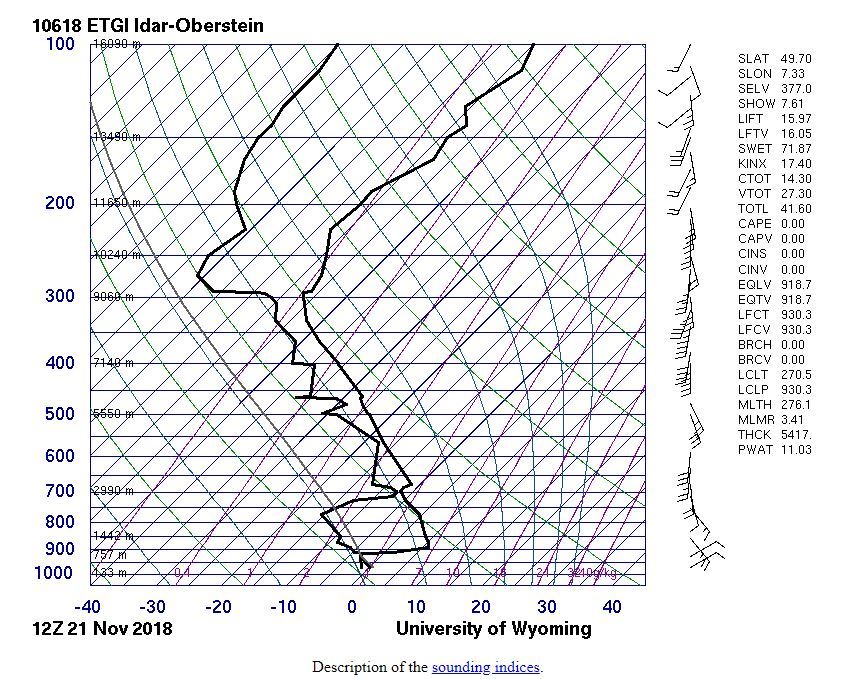
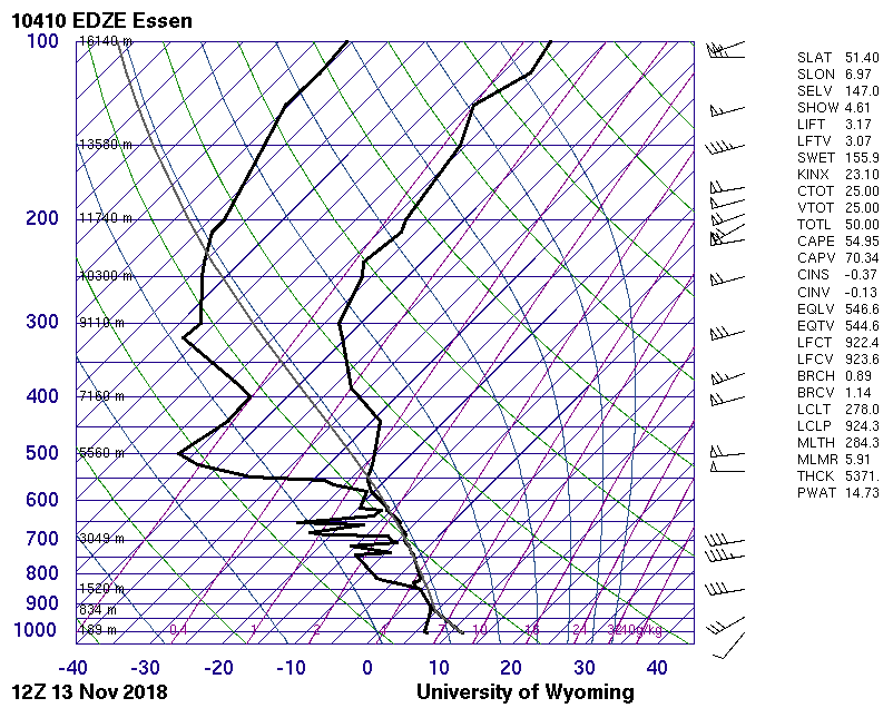
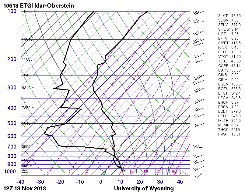
Assuming we are talking about 1200Z today, let’s look at some real data – baloon ascents. Select Europe / GIF-Skew-T and click away.
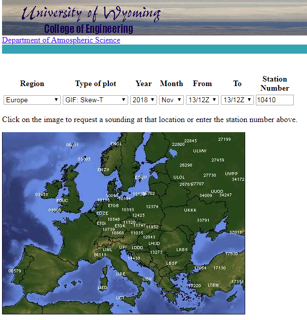
The closest is perhaps “EDZE” which yields this
“ETGI” is here, with tops at 3000m (9600ft)
Does Topmeteo present the EUMETSAT IR image spectrally corrected for actual temps aloft? I believe quite a lot of data is returned by airliners, over ADS-B, though perhaps not the OAT.
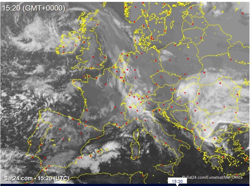
Yes, definitely a front (in this case cold front) with freezing level forecast at around FL65 around Munich. In this case, I would have gone ahead with the flight, especially as the front was moving E/SE-wards and I would have had the option to turn around in case the freezing level ended up being lower (and I actually picked up icing as well) and land somewhere enroute (e.g. Egelsbach EDFE which has immigration onsite without prior notice).
And conditions seem fine until at least Saturday evening (I am going to fly the route again this Saturday).
Probably 12k, plus or minus 2k.