Very much so, and I think the quality will ultimately depend on
how many pilots fly with it, and
how many of them are willing to report errors, and
how receptive the vendor is to feedback
Almost nobody in the UK flies with anything other than the CAA charts. I suspect that almost no German pilot flies with anything other than the German DFS charts. And same for France.
So in the three biggest GA areas, Jepp get almost no feedback.
And in southern Europe, there is much less GA activity...
So VFR charts will always be a bit of a problem if you want to do VFR touring. For a long trip, one has to mix the chart types
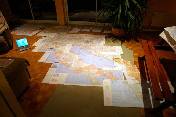
In that one, I used a mixture of French SIA, Jepp, ONC, and ONC marked-up from Navbox (for CAS).
It's a bit like when somebody squirts some lube into your elevator trim mechanism that freezes solid at -10C. When you complain, they say "we have been doing this for 20 years and never had a complaint" 
To their credit, Jepp provide uniform coverage over much of Europe, and they also sell the whole lot on a CD (the "Raster Charts") for about €300.
These can be viewed under Flitestar VFR Europe, which is fairly cheap at £85 from here.
I am not quite sure what products these will run on as a GPS moving map... is there software for the Ipad now? The old FliteDeck could never run the Raster Charts. The only product I know about for sure is FliteMap; a version of FliteStar which was discontinued in 2005 (but can still be found) and runs under Windows.
Peter,
Having enjoyed browsing the newest French 1/2 mill. chart from your earlier link, I can no longer get the chart to show, just a blank screen inside the web page surround. What do you think have I done wrong, my English pal in France can still see it on his pc ?
mike hallam.
Success !
I have retrieved the Chart, by switching off my advert suppressing option. Could also screen print with my little old free prog. Very happy, I hope they keep it available for planning too.
mike hallam.
Boscomantico, what charts did you go for in the end? I found your initial post, and the subsequent replies quite interesting.
I'm planning on a trip to La Rochelle at some point so I just ordered the 2 SIA 1 mill charts from SIA (the link Peter provided) and the NorthWest and SouthWest half mill IGN charts from Transair in the UK.
I wanted the SIA charts specifically for the IFR reporting points. Something inside me thinks maybe I should have just bought the 2 half mill Jepp charts (assuming unlike the IGN half mill, that Jepp has the IFR reporting points) and then maybe I would have had the best of both worlds. But it seems most people favour a combination of SIA and IGN so I hope I made the right choice :-)
Piper Archer, if you want an old Jepp IFR chart I can prob send you an old one of mine.
The SIA and IGN charts are fine. No need for Jepp charts for France, IMHO.
In fact I haven't used the IGN charts after about 2003. I used the SIA ones only, though they are less good if you are doing very low level stuff.
if you want an old Jepp IFR chart I can prob send you an old one of mine
Thanks Jason. I'll send Peter my address, and if he doesnt mind passing it on to you somehow, it would be good to make a comparison for future use.
Done.
Piperarcher,
For the time being, I have bought the SIA Pochette VFR, as well as the 2013 cartabossy chart. Both are 1:1000000 and they appear very similar. Cartabossy does in fact have all the private aerodromes and ultralight sites. The SIA chart, OTOH, is certainly more "official" and I would trust it more than the Cartabossy, as far as airspaces go.
The point is however that the 1:1000000 scale is IMHO not sufficient, because it's too hard to decipher and distinguish all the various airspaces in certain parts of France. So, I will probably buy two more 1:500000 jepp charts, or possibly the DFS chart. BTW, I also have an ipad with both ANP and SD, but I still prefer a decent 1:500000 chart in my hands when flying (and also for preflight planning).
I also have an ipad with both ANP and SD, but I still prefer a decent 1:500000 chart in my hands when flying
Same here. Well just SD, and I've been trying different routes zooming in and out as necessary to see where I cant and cant go. At the moment I'm hoping I will get clearance at 5000ft or something to transit most of the Class D enroute. I still like paper charts though, particularly in this case to verify what I am planning on SD, and maybe to gain a bit more awareness of things laterally on track.