
VFR pilots flying in IMC and not having a decent terrain map
So VFR pilots in IMC with decent terrain map is ok?
Endless debate…
Anyway, there is no such thing as “VFR in IMC”. When you are in IMC, you are not VFR.
If I compare busting airspace while navigating using conventional nav aids (dr, ndb, vor, dme, map…) to CFIT in VMC/IMC, then we are still not there…even with SD/GPS moving map and tranponder alt limits you hit the thing !
In IMC it is even worse, just ask those who fly OCAS in the UK on IRR/IMCr how easy to “hit controlled airspace” while following a VOR radial or looking at the map, why terrain should be any different?
The problem is a non experienced pilot entrering IMC is likely to quickly get overwhelmed and not even remember to look at his map, as good as it may be
Off-the-top-of-my-head, several recent UK fatals which were CFIT:
PA28 into the sea of Scotland May 2017.
Big expensive helicopter into a welsh hill top.
PA28 into the ground in the Gloucester-Bristol area.
Twin into the ground near Chalgrove.
There are all sorts of issues in these scenarios.
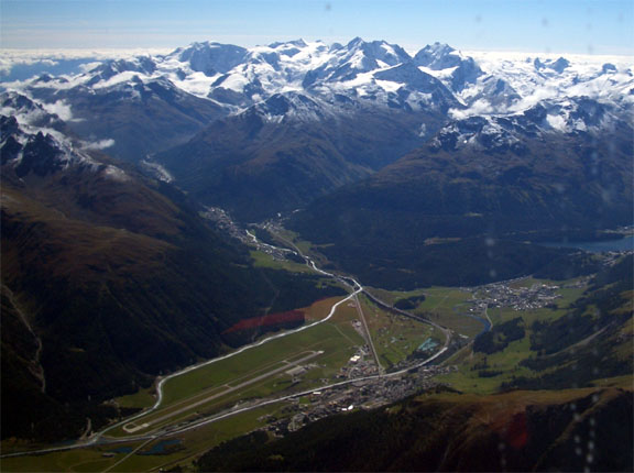
For example, a classic one is that if you are a VFR flight then you may not be allowed into CAS. That will likely frustrate your terrain clearance, so you will end up getting quite close to terrain. This is OK to do in VMC… My best remembered case of this was a refusal by Swiss ATC for the Class C over the Alps, base FL120 (IIRC), so I flew it at FL119. Very scenic but would be pretty dodgy in IMC, icing conditions, etc. Illegal VFR is best done in de-iced planes 
So pilots who need to “play the VFR game” for the benefit of ATC radar can get into trouble. One case was N403HP, from Shoreham, near LOAV. He cancelled IFR some 100+nm earlier and appeared to be flying a visual circuit for the benefit of Vienna radar, but in solid IMC.
And Spanish ATC is often pretty “random” and often they cannot understand English for which the SOP is to not answer the radio calls. And at low level they may not hear you anyway…
A fully working plane, with an autopilot, will help a lot, of course. You don’t lose control but if you lost obstacle clearance you will hit the ground in a wings-level configuration 
The above is speculating obviously regarding this crash, but it seems clear this flight ended in IMC (and looking at the surface temps probably in icing) so the basic factors appear self evident.
A moving map portable GPS with terrain database can be found on the web for the cost of one flight hour. Even less if you use an app for your tablet.
VFR or IFR, there is no place for a xc flight in mountainous or even hilly terrain without such equipment, much less at low level. Perhaps this not obviously evident to the whole pilot community?
Antonio wrote:
A moving map portable GPS with terrain database can be found on the web for the cost of one flight hour. Even less if you use an app for your tablet.VFR or IFR, there is no place for a xc flight in mountainous or even hilly terrain without such equipment, much less at low level. Perhaps this not obviously evident to the whole pilot community?
Sorry, I had missed the later posts. Obviously this is not universally effective if you cannot maintain altitude due to icing, engine or other troubles…but that is a different matter
Antonio wrote:
VFR or IFR, there is no place for a xc flight in mountainous or even hilly terrain without such equipment, much less at low level. Perhaps this not obviously evident to the whole pilot community?
No it is not obvious! Believe me, people did XC flights in mountainous terrain before we had GPS and they didn’t have CFIT all the time. No doubt that GPS makes it safer — and allows you to launch in less perfect weather than you would otherwise have done.
Moving maps – at least two of the four crashes Joe-fbs quoted had moving maps with terrain databases. Let’s not kid ourselves here; IMC below safety altitude is a mug’s game and takes absolute priority over irritating little things like ATC restrictions etc.
PS. Shoreham based.


