
Yes, independently developed by a separate team and not part of the mentioned deals. This is what they said when I asked.
Peter wrote:
IMHO these are the best VFR charts for Europe
I’ve never used the MFD-VFR product, so can’t comment on those charts. But I was a Bottlang customer for years and stayed with the product when it was bought out by Jeppesen. IMHO, these are still the gold-plate reference for VFR charts in Europe. They continue to be available as part of the JeppFD mobile product, integrated with the IFR charts as full Europe VFR coverage (compared to the slowly expanding MFD-VFR coverage … don’t know how far they’ve come these days).
WRT ForeFlight, the new Jeppesen addition in 9.2.1 includes a Europe IFR & VFR coverage where the VFR charts are the JeppFD (ex Bottlang) charts. The VFR Manual is also included with all the Jepp VFR info by country.
I have an open question about the IFR coverage as it doesn’t seem to include Poland, Czech Republic, Slovakia, Hungary, and Baltic States. But it does include the other common W.Europe countries including Scandinavia, Slovenia, Croatia, and Greece. For the coverage price ($889 + $200 FF ProPlus which also includes USA or Canada non-Jepp charts), I think it will kill JeppFD which may be just what Jeppesen had in mind.
The Jeppesen VFR and IFR enroute charts will be available in a future release of ForeFlight, sometime this summer. ForeFlight has switched its Navdata to Jeppesen and also the Procedure advisor data which is used to depict the SID/STAR selection and Map view support.
chflyer wrote:
I have an open question about the IFR coverage as it doesn’t seem to include Poland, Czech Republic, Slovakia, Hungary, and Baltic States.
The Jeppesen coverage map shows all of these in the All Europe coverage you mentioned. There is a Northern Europe that is a subset of Europe for $367 that limits coverage to Scandinavia, Germany, France, and UK, Ireland.
I think the way it is right now (9.2.1), the map display is unusable for VFR or IFR with a VFR portion at either end.
achimha wrote:
I think the way it is right now (9.2.1), the map display is unusable for VFR or IFR with a VFR portion at either end.
What in your opinion makes 9.2.1 unusable for VFR. Of course, the VFR charts are not yet available and only the Aeronautical mapping is available with terrain, airports, waypoints, airways, and airspace. Do you currently have a subscription? If so is it one of the “plus” packages, as only they include the aeronautical mapping.
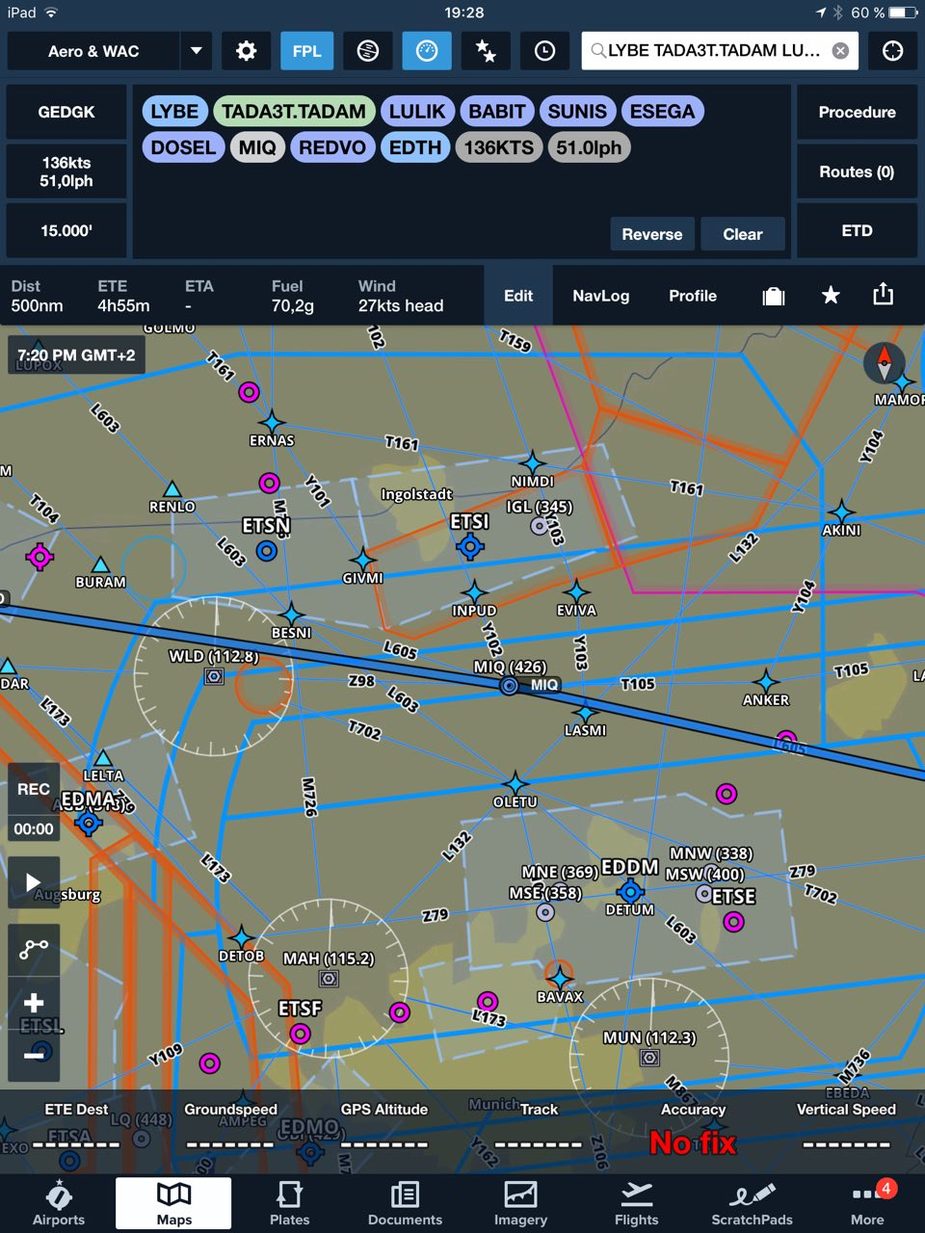
I most probably have not seen the charts in discussion here, but here in Europe we have some specific issues. Obviously in VFR flight you have to be CAS-aware, but it is less obvious (and, I have found, very non-obvious to IR-holding visitors to Europe from say the USA) that you get the same issues on the VFR bits of Z and Y IFR flights. Basically you are “on your own” and sometimes with no ATC service at all and you need to be CAS-aware to a high degree of reliability. Accordingly, V Z Y flight cannot be done with IFR (airway) charts. You need a damn good VFR chart, obviously as a moving map, and ideally with warnings of an imminent CAS bust.
It also needs to show terrain with spot elevations, and provide warnings on that. Too many pilots here have got killed after cancelling IFR; the last one here and we aren’t going to know for years (and IMHO probably never, especially if the cause is what I think it was) why he thought flying at 6500ft was obstacle-safe.
I can’t get it to display anything better than that (Munich area). My subscription says “ForeFlight Pro Plus USA”, that was what was available when I renewed it in early May 2017. When in the US, it loads the plain old sectional bitmap charts in the background which is of course suitable for VFR. I think it is pretty obvious why the displayed map is not workable for VFR.
Peter,
Just trying to learn, primarily for my own understanding. ForeFlight has a terrain and an obstacle database and there is an option for Hazard Advisor which will alert the pilot to these issues as well as they can be viewed in a map layer or SV view. Tapping on the obstacle will also provide the AGL There is also a SV feature that can be displayed as a full screen or a half screen with the map and it uses a high precision terrain DB. Airspace boundaries are depicted both laterally and tapping on the map shows altitudes.
NCYankee – have a quick scan of this thread.
If you can have that mapdata in Foreflight, that’s great.
Then we can check out a few old gotchas like whether everything here

and especially the bit at the arrowhead, is shown correctly. I think MFDVFR has got all that correct, but don’t have a current one to check. I had a 6 month trial sub for it and liked it, but I have other solutions (bootleg but current official maps running under a generic moving map app).
Here in Europe we have two powerful VFR products, PocketFMS and Skydemon, both with their own vector charts. They are about 100 quid a year and cover all of Europe. Jepp’s MFDVFR is about 3x more although a part of that is alleviated by the fact that it comes with the nice Jepp VFR charts (effectively the “VFR Europe” part of Jeppview) and, for pilots flying in Germany, there is extra value (50 quid?) because Germany charges for its VFR airport charts!


