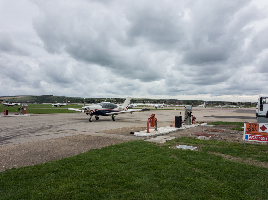
This was just a little trip down there, which I do once or twice a year. I took my A&P/IA out  I wish every airport was like LDLO…
Departure wx was ok but there was some heavy wx coming
The Gramet from OGIMET; the Autorouter GRAMET was fiction, showing none of the destination wx

so we got out just in time. Ideally, looking at the above and the LDPL TAF (which I don’t have to hand this moment) we should have departed several hours later to allow bad destination wx to clear but that would have messed up the departure, which was in nice wx
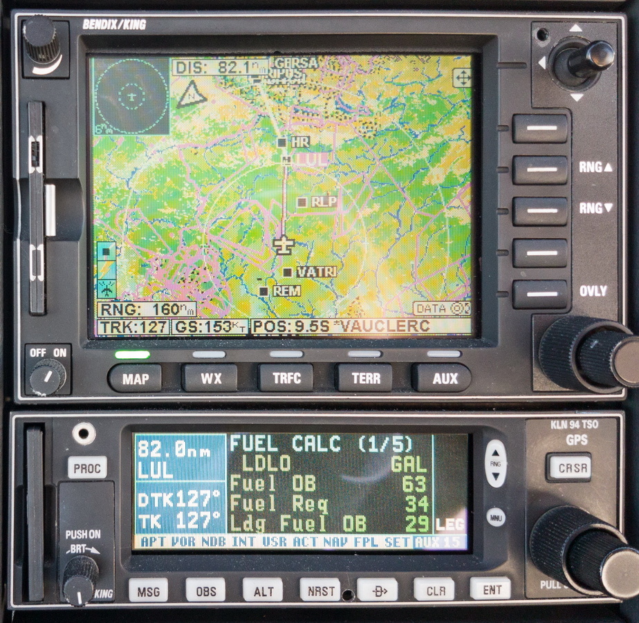
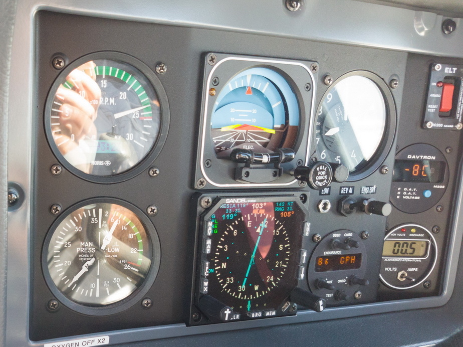
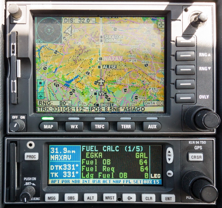
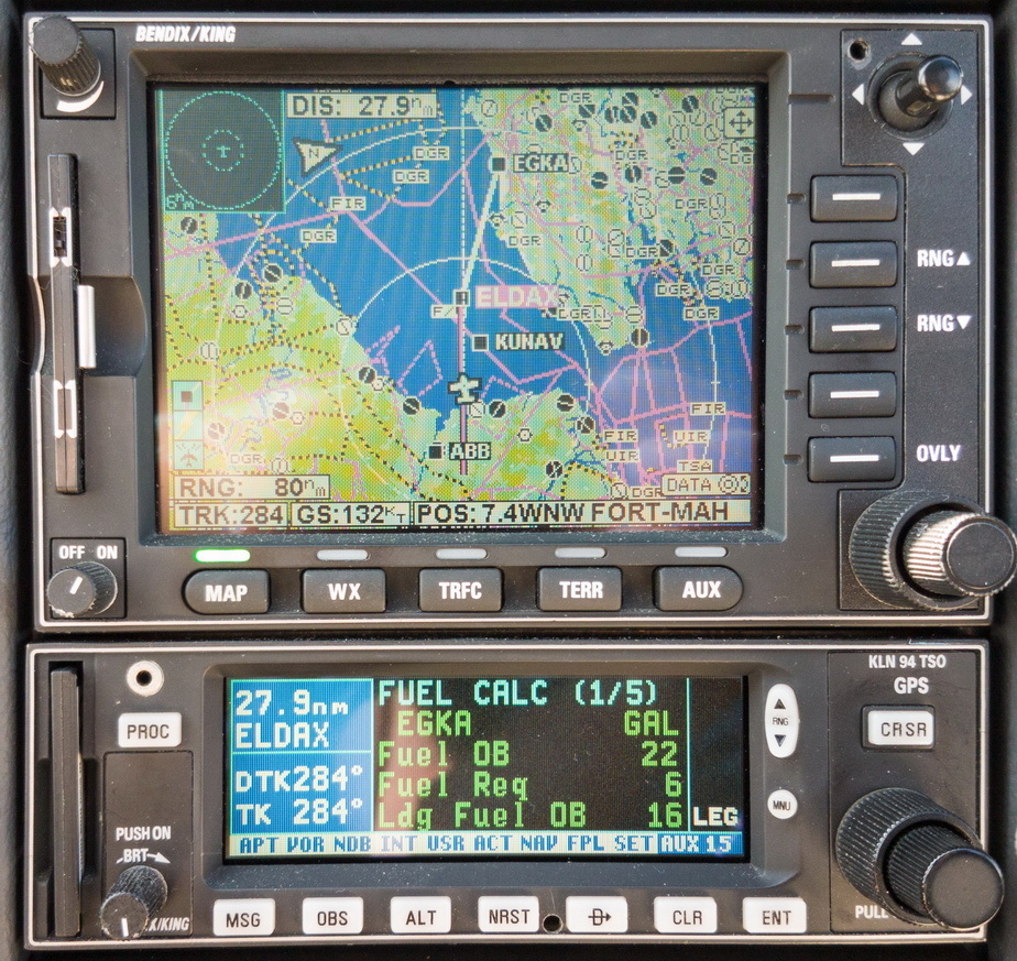
Fuel totaliser showing 29USG Landing Fuel on Board; we landed with about 29
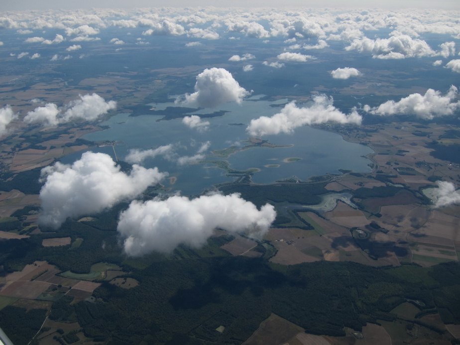
From FL100, there is very little noteworthy through the first 3/4 of France. This is an interesting big lake
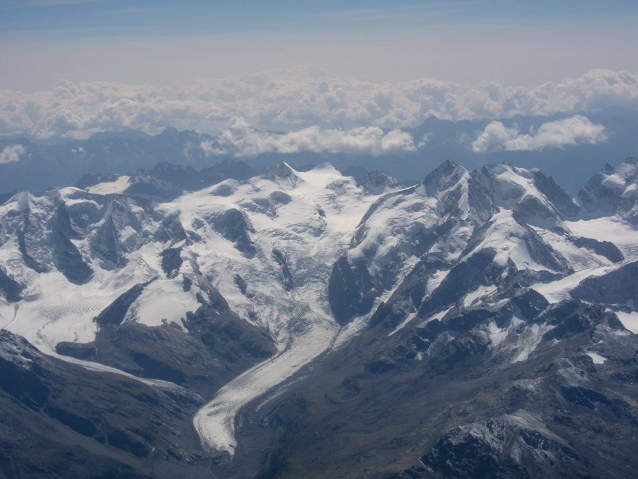
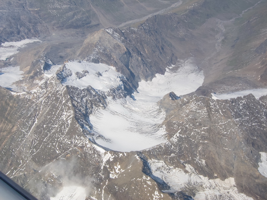
The start of the Alps

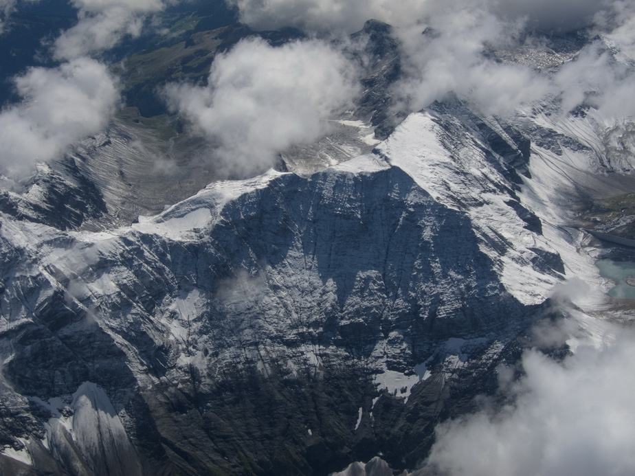
At FL170, crossing them on quite a long crossing track
Not a lot of performance at FL170, but OK for a non turbo plane and -8C which was really warm
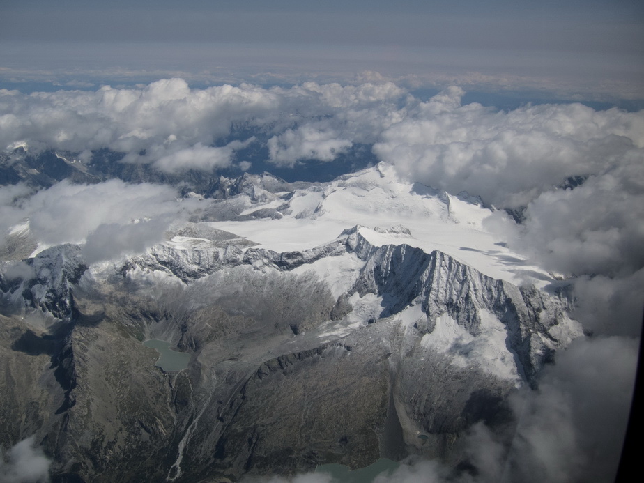
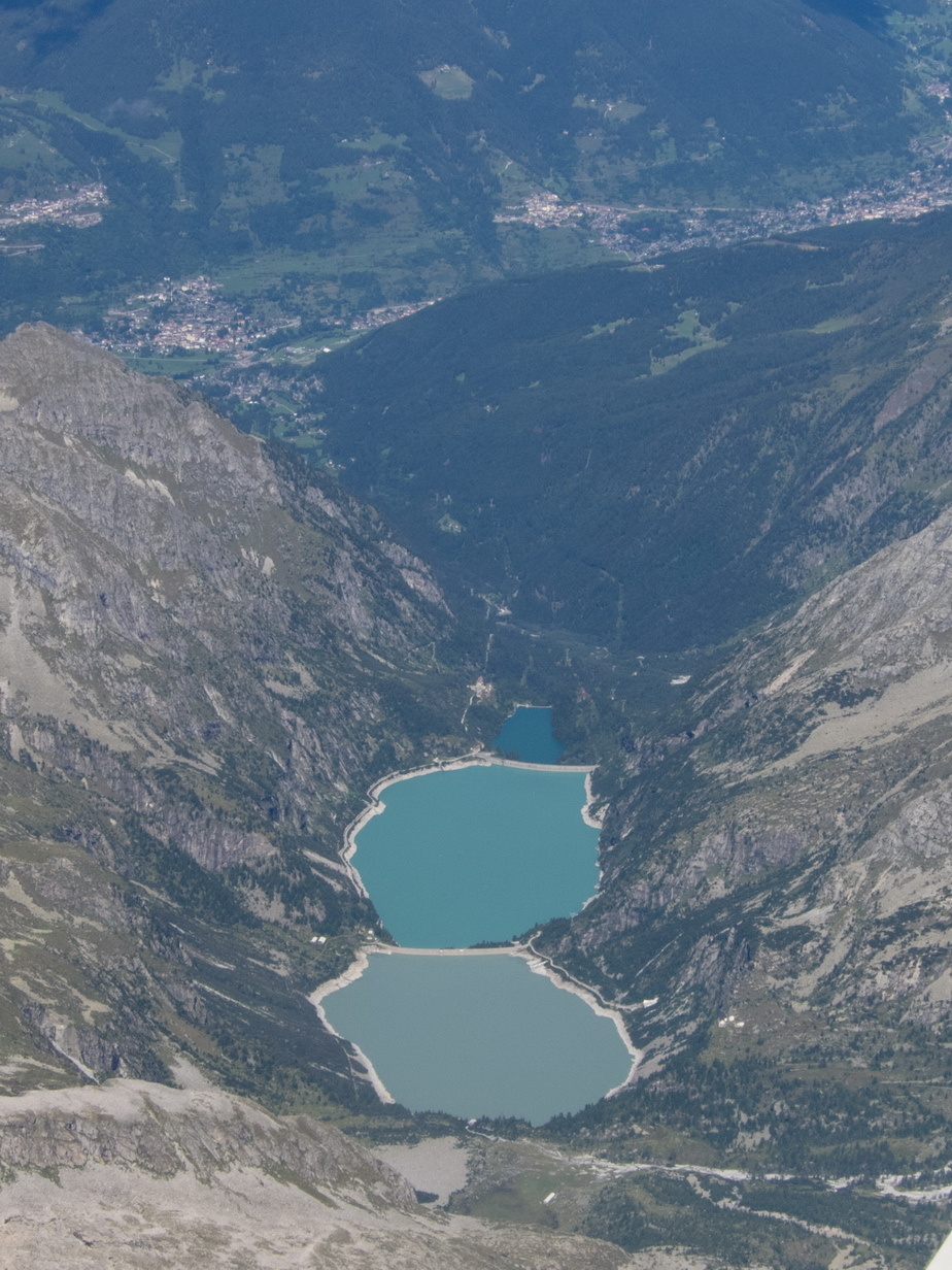
The Kaprun lakes at Zell am See (EDIT: no, these are different lakes – see further in the thread)
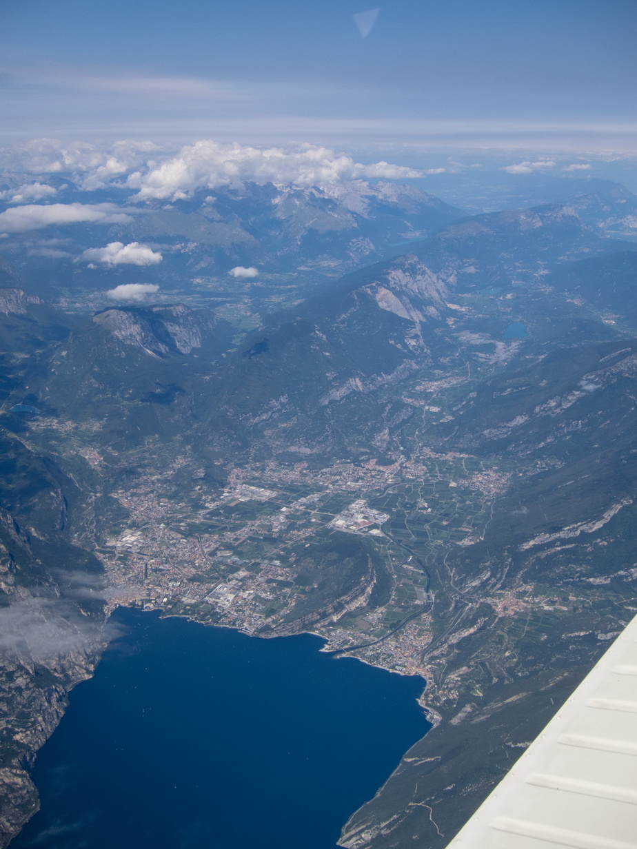
One end of Lake Garda
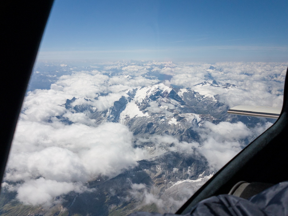
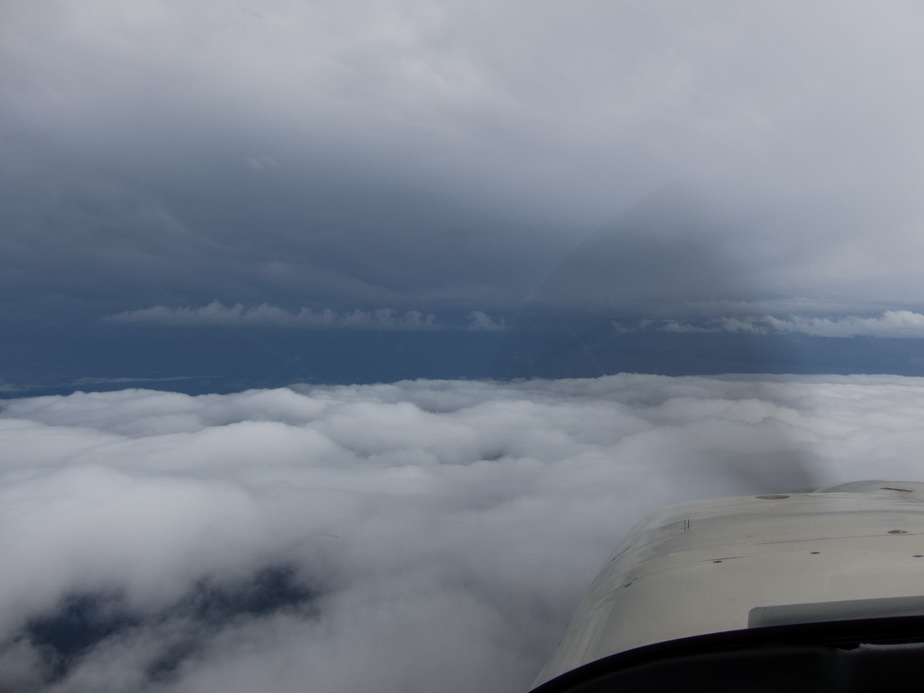
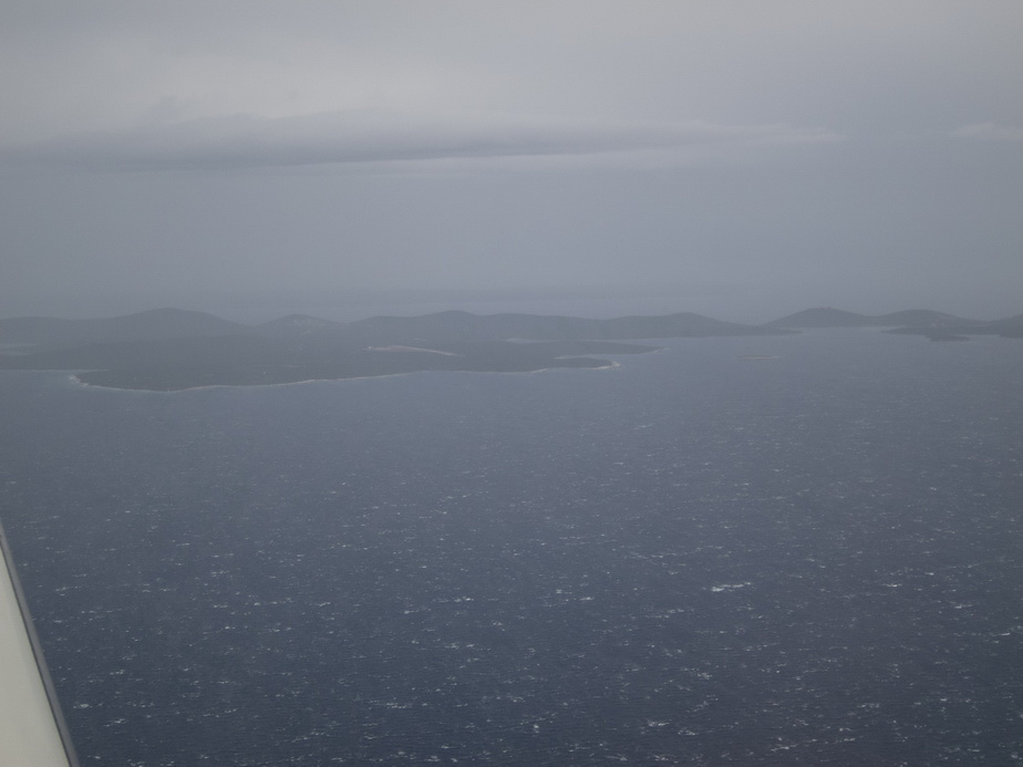
After the Alps, the wx got darker, as expected
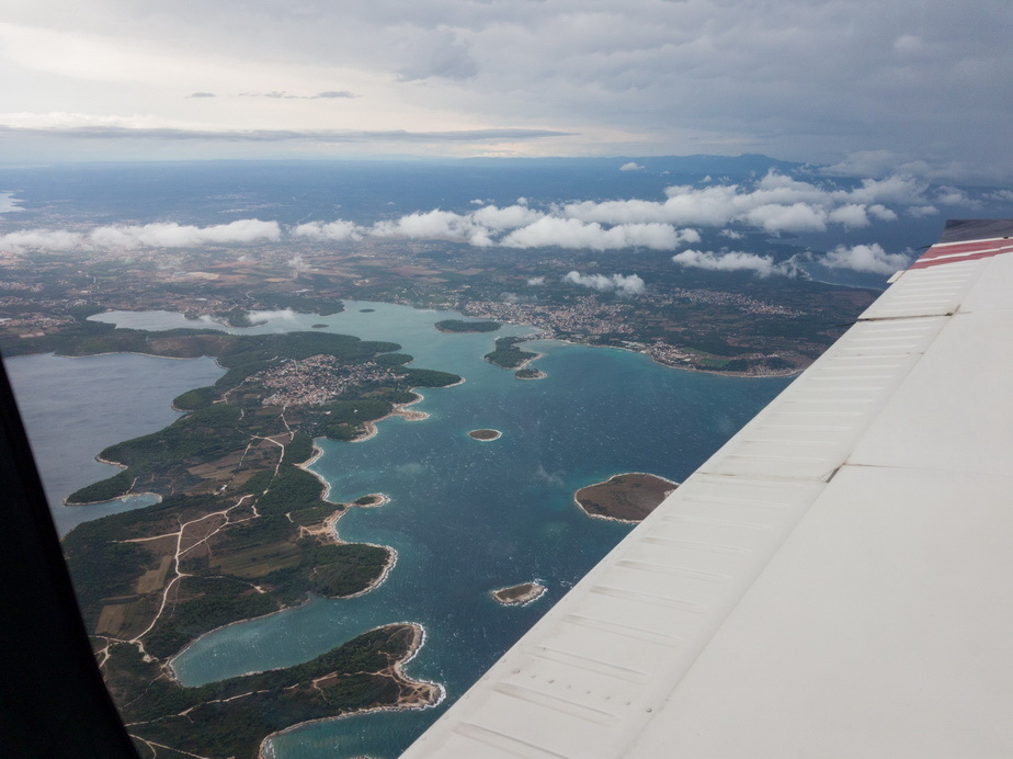
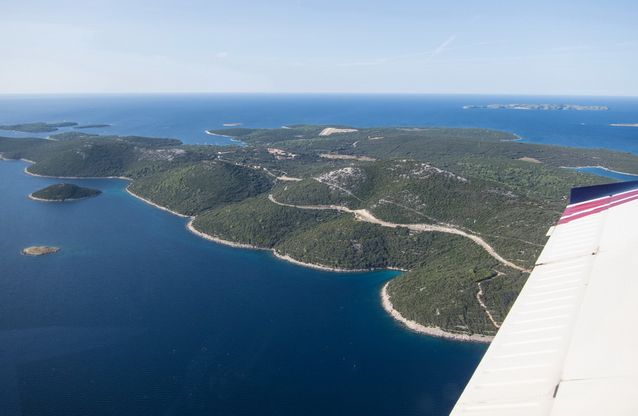
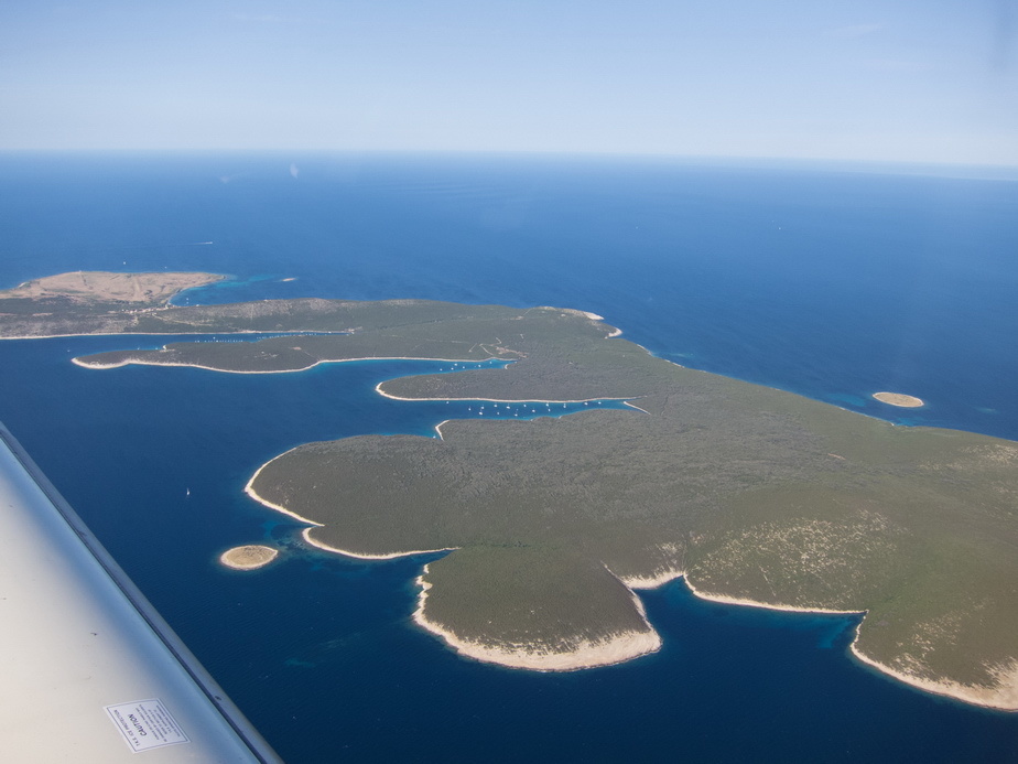
Near Pula
Cloudbase was OK but a lot of CB activity around. The ADL150 was invaluable in getting a view of all this well ahead

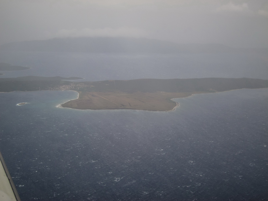
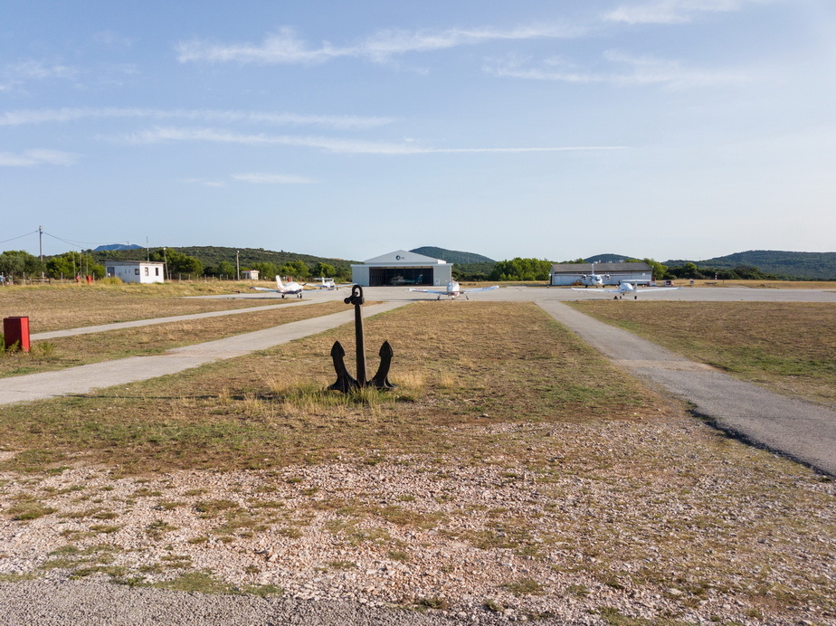
The little grass strip at Unije, looking deserted as usual
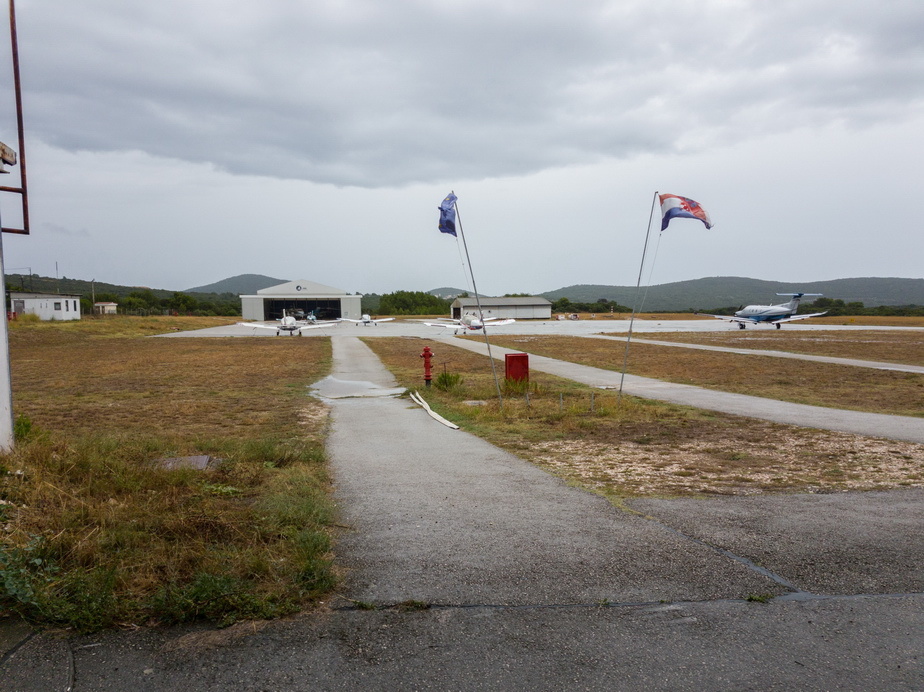
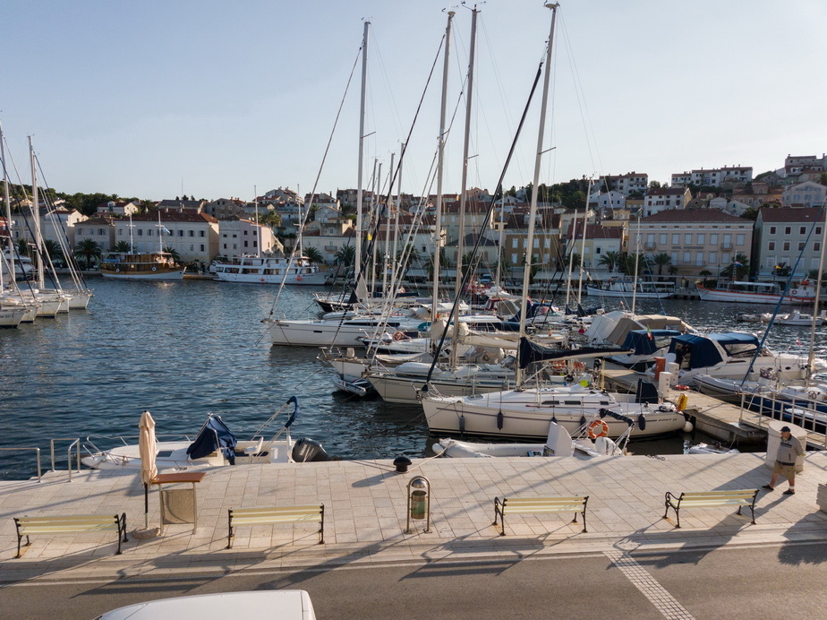
LDLO, in rain and very strong winds, in line with the runway, gusting 40kt and with about 60kt of wind at a few hundred feet. A PC12 landed just before us, reporting loads of wind shear. You can see the sea state from the white horses on the water
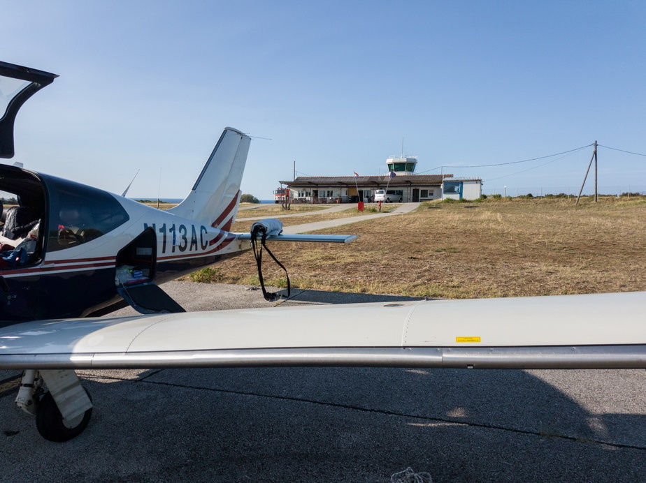
Nice to be on the ground. No chance of a refuel in the wind and rain Had to come back the next morning
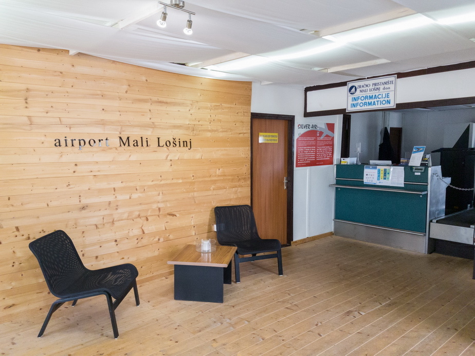
The passenger lounge
We’ll start with the usual one for the lady pilots here
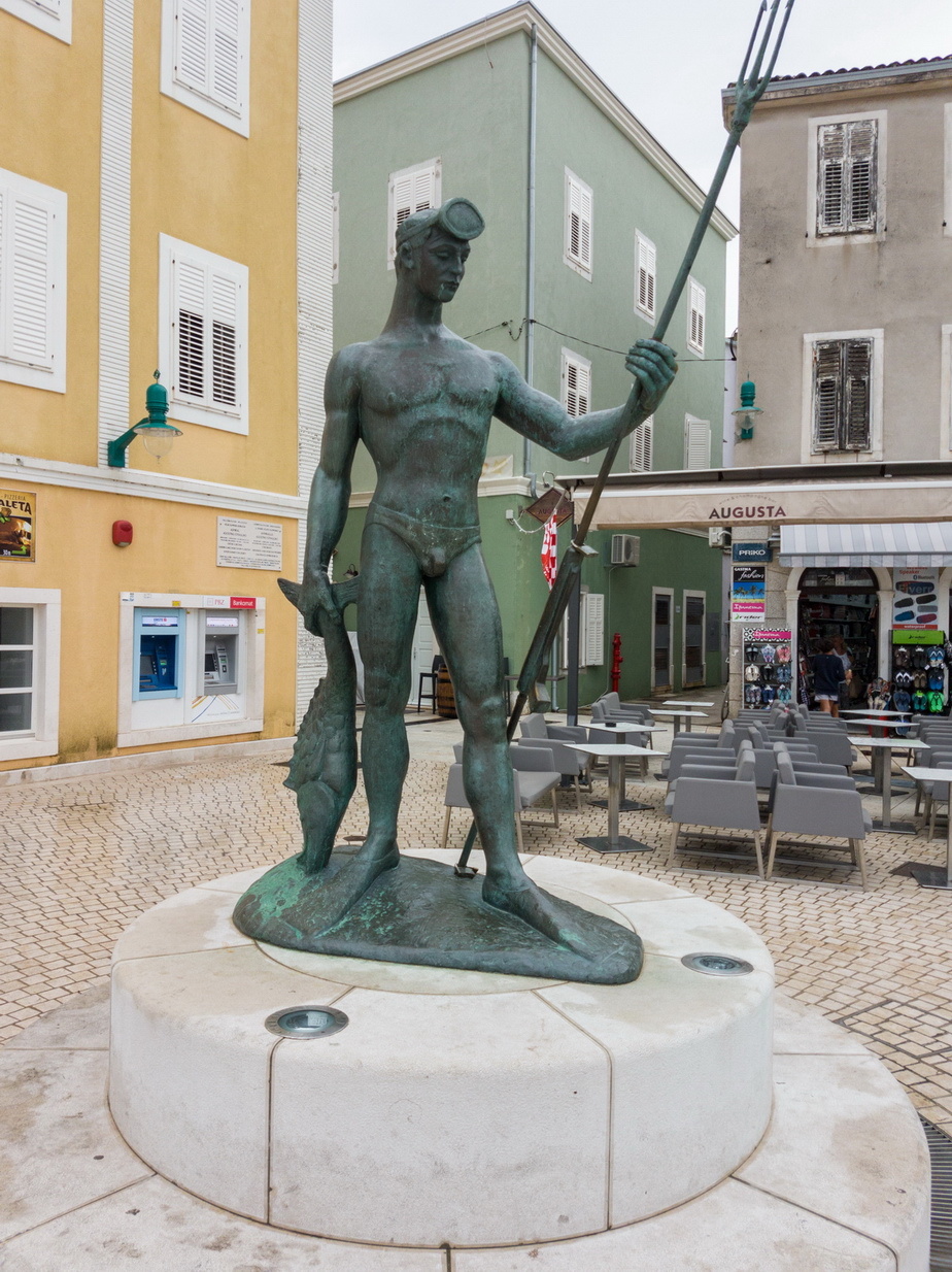
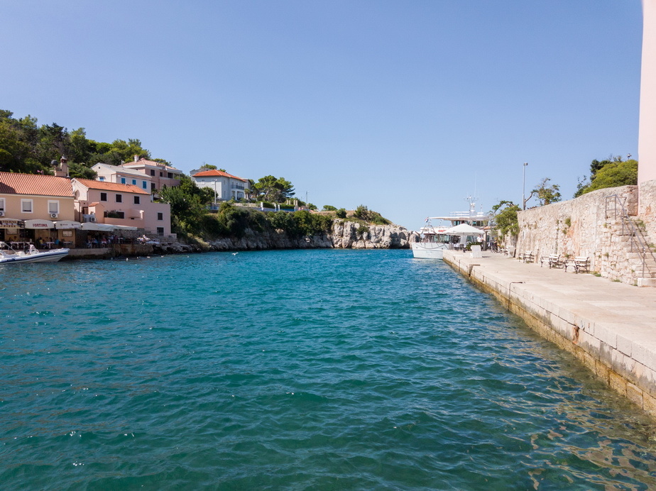
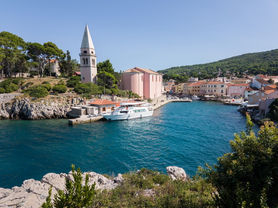
Some iconic pics of Mali Losinj

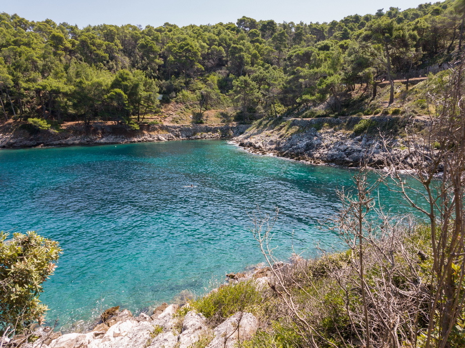
The shore walk to Veli Losinj for a swim
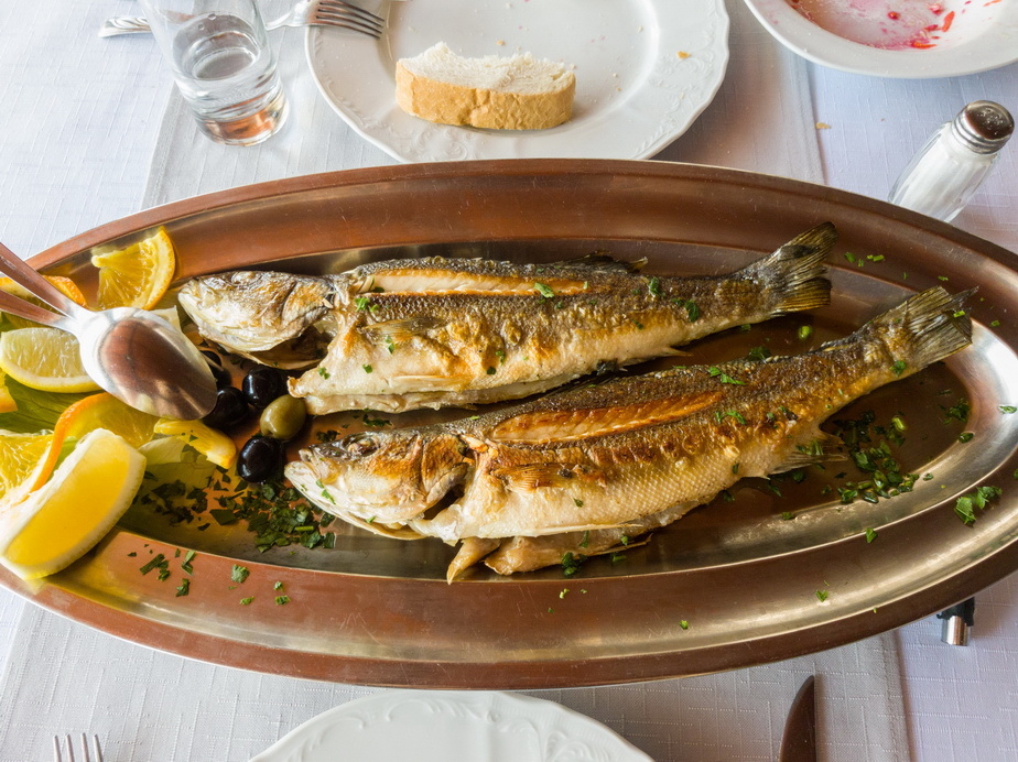
and a lunch
Back at the airport for the return flight

Much nicer wx this time
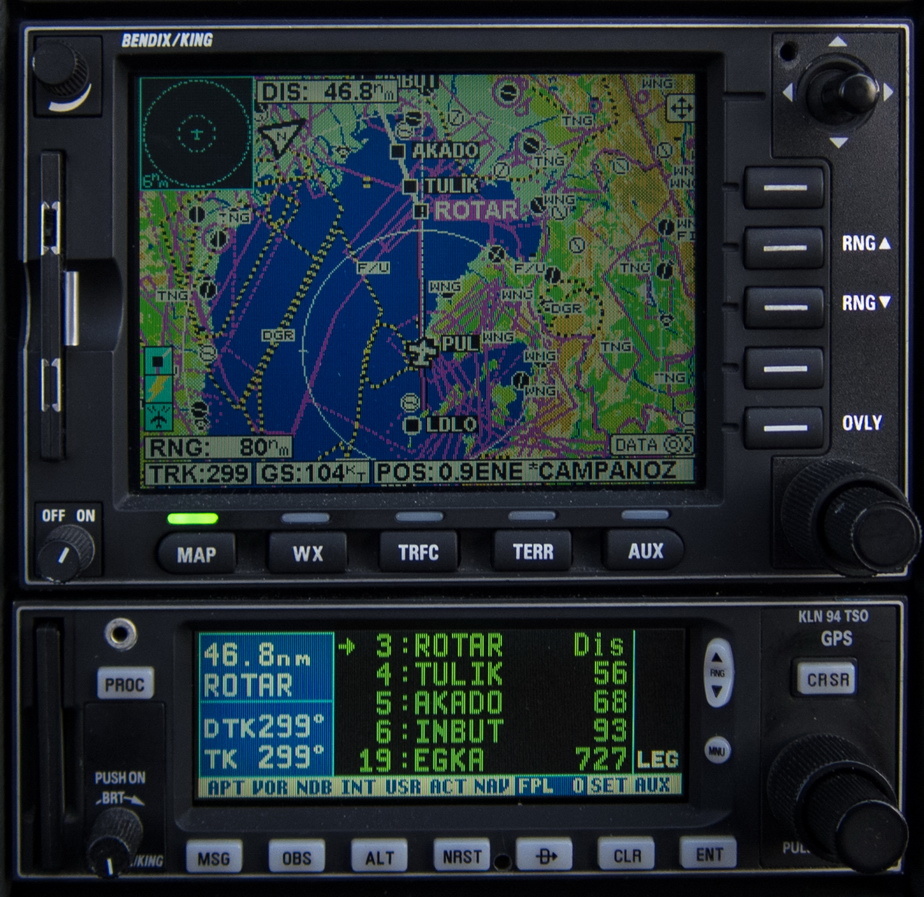
727nm to run
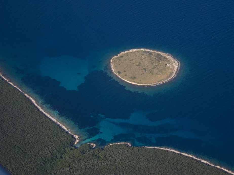
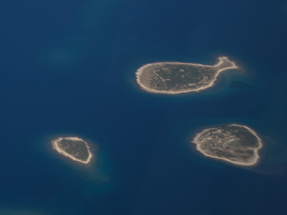
Spot the fish island… there are about 5 of these that I have managed to get pics of over the years
Venice Lido LIPV grass airfield
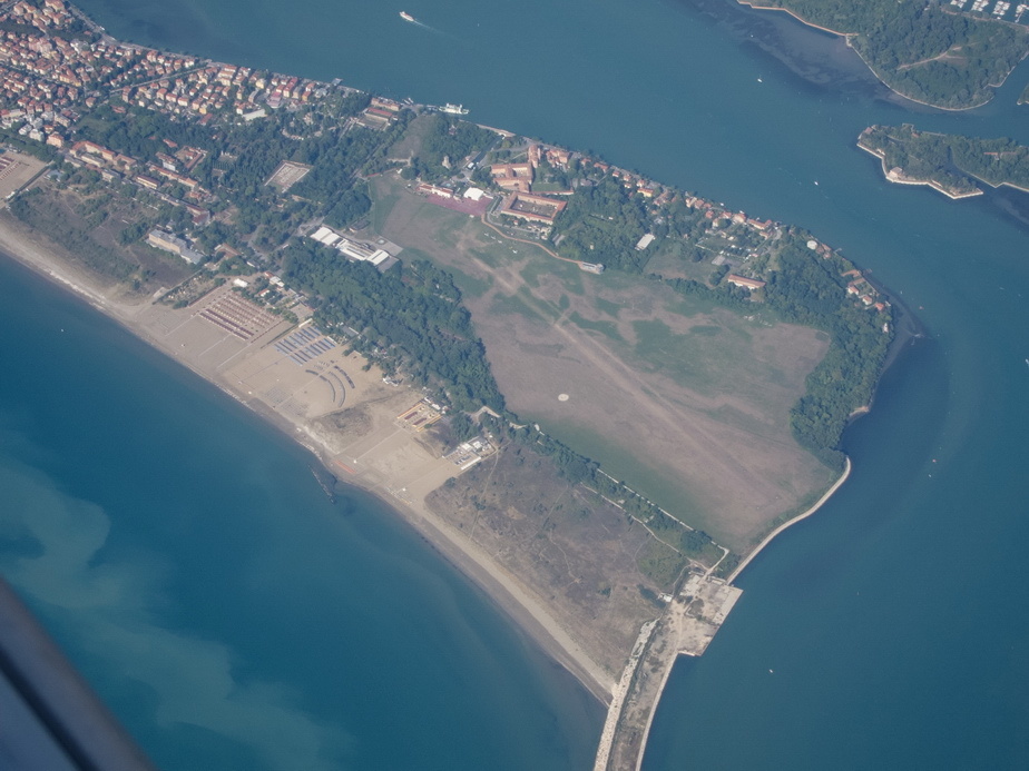
Venice itself

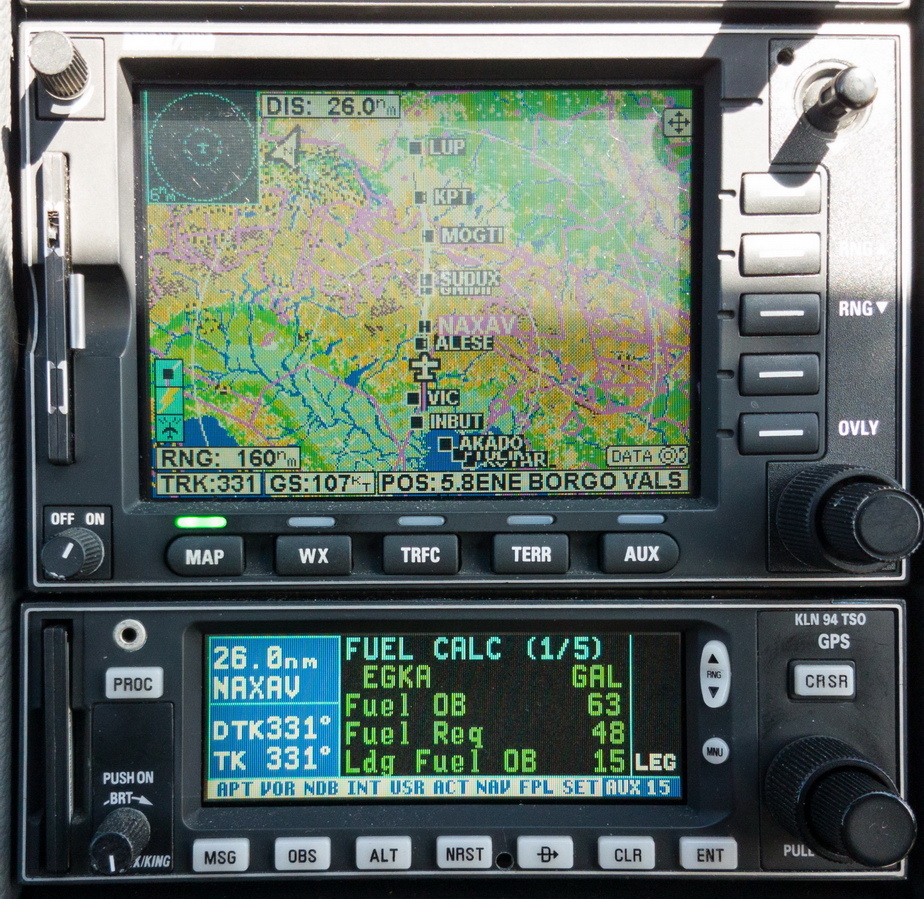
Landing fuel on board showing zero! This is due to headwind and a poor GS when climbing to FL160
Now improving to something much better – 15USG
After a rather tedious flight with 10-15kt headwind, almost back home, and we see the Landing FOB showing 16USG. We managed to make some more fuel in a long descent, eventually landing with 16.9 USG.
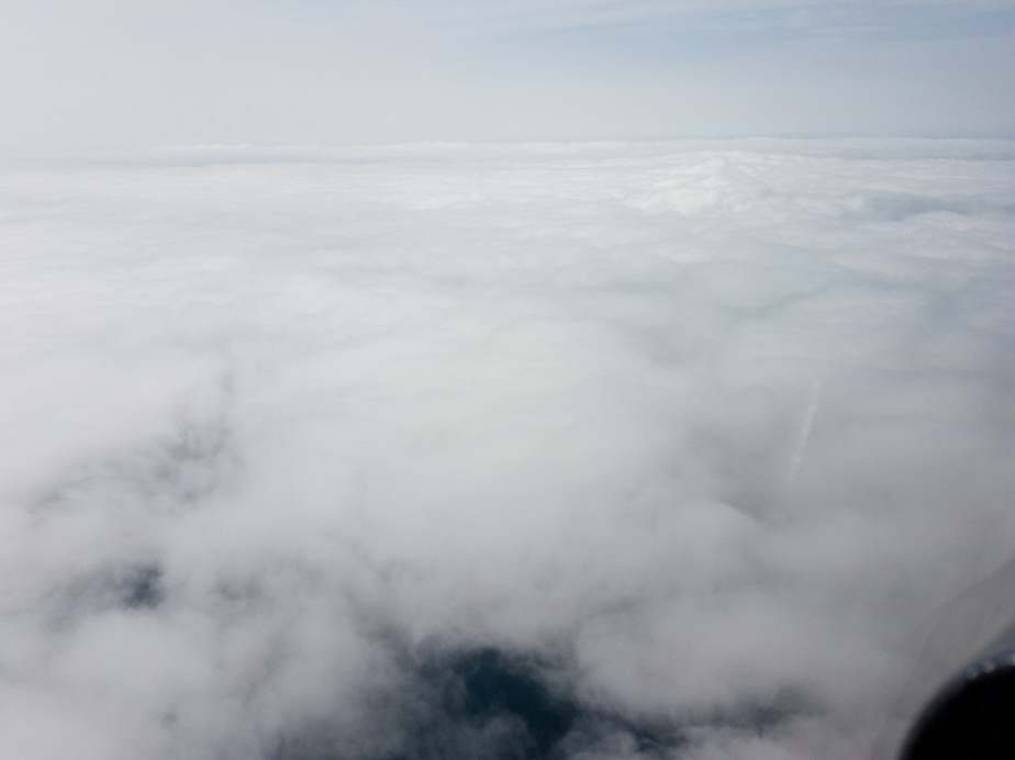
A layer of cloud just before the UK… but the cloudbase was fine
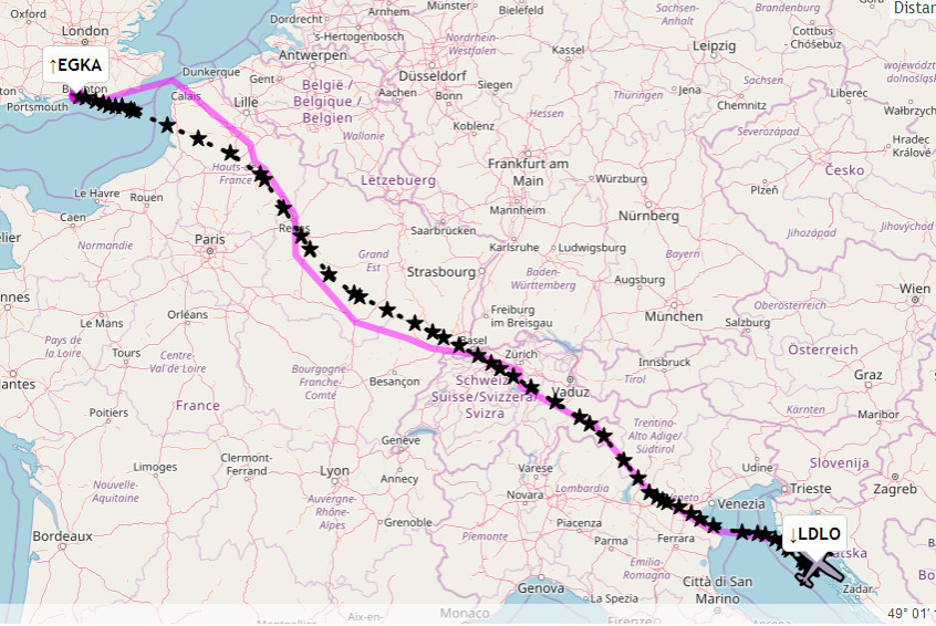
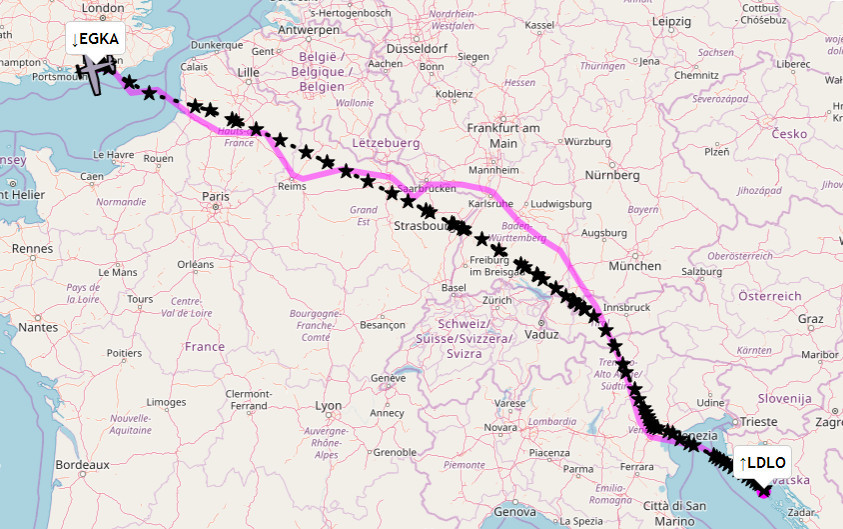
Outbound route, having asked for every shortcut possible

Return route, having asked for every shortcut possible, and having got some rare ones in France

Camera: Canon S95 mostly in the air, Samsung S7 mostly on the ground, all shot in RAW and processed in Lightroom with +20 and +20 on Clarity and Vibrance applied globally.
Here’s a video of both flights. The camera ran out of power after 2hrs on the outbound flight but I got the whole of the return one. No cockpit sound track was recorded so I dropped in some goode olde old film classics
Hi Peter,
nice report as Always!
Can you tell us more about that Landing in LDLO? It surely looks like it was quite an adventure getting the Tb20 back on the ground, even though i’ve heard it handles wind pretty well.
I know this sorts of flying with time became a bit of a routine for such an expert pilot as yourself, but it’s always interesting when reading a trip report to have some comment about what you decided to do and what led you to which strategy as you were fying.
How did you decide to face those winds (angle of approach, speed, flaps, flare)…all very interesting, at least to me :)
Expert pilot… not really
With wind shear you need to add some speed on final, knowing you will lose it on the last 100ft or so. I flew it at about 90-100kt (Vs being 60kt).
Full flap always as per the POH.
A steep approach is much better than a shallow one because you are using less power, so have more power in reserve for a go-around, to compensate for the speed loss in wind shear, and you spend less time in the wind shear.
Sadly I didn’t get the landing on the camera
+ 1 for turillo1986’s post
Curiously, I have just tried to download the two tracking links from the Autorouter and it says both are invalid.
https://www.autorouter.aero/track/55538LO2b
https://www.autorouter.aero/track/55539TvHT
It turns out that the AR no longer works with Firefox. You have to use Chrome or, presumably, Safari.
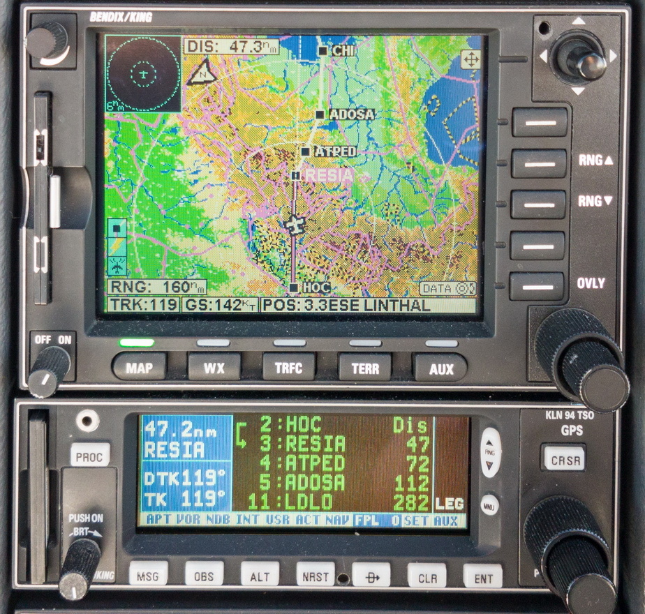
Peter, where did you get the route pics from? The outbound one can’t be right – it shows you going nowhere near Austria, but you got the pics (and the GPS screenshot) of places like Kaprun. Is that FR24? Weird….
He most definitely never got any close to Kaprun/Zell during those flights…
Ok well there must be other similar lakes
If someone can tell me their names I will back-edit the captions in the movie.
Having traced the GPS track the only candidate I see is this
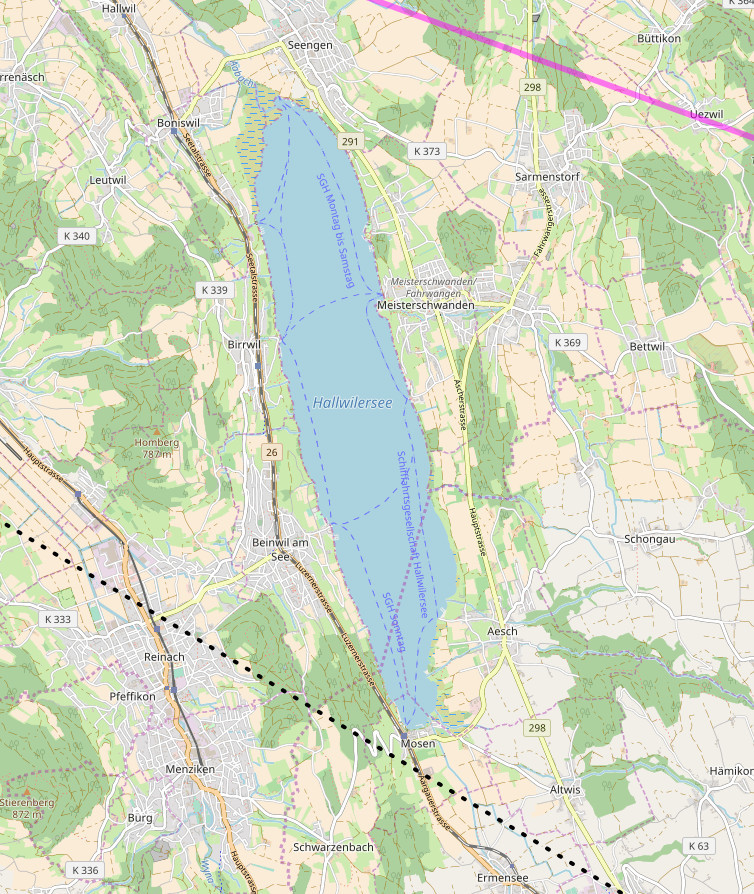
but the details on the map (roads etc) don’t match the photo.
The above is from the Eurocontrol track but the actual GPS track doesn’t show anything else. If anyone wants to have a go, let me know and I can email it to you
Actually pretty easy. Just export the GPS track as .kml file and open in Google Earth – voila! – you’ve just created a zoomable overlay for your flight.