We plan to do a club fly from LFMD to Annemasse passing by Mont Blanc in early march. What plane did you fly to these altitude, just for information. I plan to take a tb10 but it’s not a rocket…
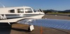
Tecnam P2002. Only me on board, and fuel at take off clearly under 3/4 of its capacity. On a not especially cold day, even being early, as it was in august.
Anyway, the Tecnam / Rotax tandem performs really well compared with heavier, not overpowered, aircraft.
This one is not going to happen until next winter because AFAICS all the countries you could land in (and stay overnight because the Alps are too far to do it as a day trip) have closed their airports to “foreign” arrivals.
The high Swiss alpine peaks are well known. But there are other bits of the Alps which are even more dramatic in some ways, for example:
I find the Walensee with the Churfirsten always very beautiful, although it’s a bit on the other side of Switzerland from the Matterhorn. Closer to Interlaken there are Jungfrau, Monch, and Eiger: definitely not ugly.
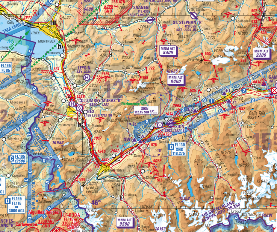
This shows the Swiss ICAO-map and you can blend that away and get the swiss hiking maps. Those show the contours of the terrain quite nicely. Although hiking altitudes are in meters, not feet.
This section of the map shows the Matterhorn in the bottom right and due to the fuel situation I would be looking for routes there and back from the UK which is in the top left direction.
The mountain portion of the flight would be under VFR so – subject to any RAs etc – one can go anywhere.
A fuel stop in Annecy then go by col de balme, may make it? Apart from very busy airspace around mont blanc, it should be a nice sightseeing way.
Assuming you still want to do this without stopping, I would route via Dijon DJL in both directions. On way into Switzerland, after DJL ask for direct Lausanne LSGL, cancel IFR at Lausanne to start your Alpine Tour, and rejoin IFR around St Prex SPR (just west of Lausanne, pronounced San Pray) then DJL for the return.