OK, here’s what will probably be my last trip report for this year. Weatherwise, October has generally been very good and stable in central Europe. Towards the end of the month, I had a day off from work so me and my father decided to head down to Northern Italy before the days would become too short and the weather too cold. This turned out only a very short two-day “trip”, but still, the flying was just great and the photos came out nice, so I thought I’d share in some detail. As always, I hope I can give readers some ideas for future trips.
We decided on Bolzano (LIPB), the capital of South Tyrol, as our first stop of the day.
Here’s the sat image on the morning of departure. Nothing really to affect our route of flight across Germany and across the central Alps.
And here’s the corresponding radar image:
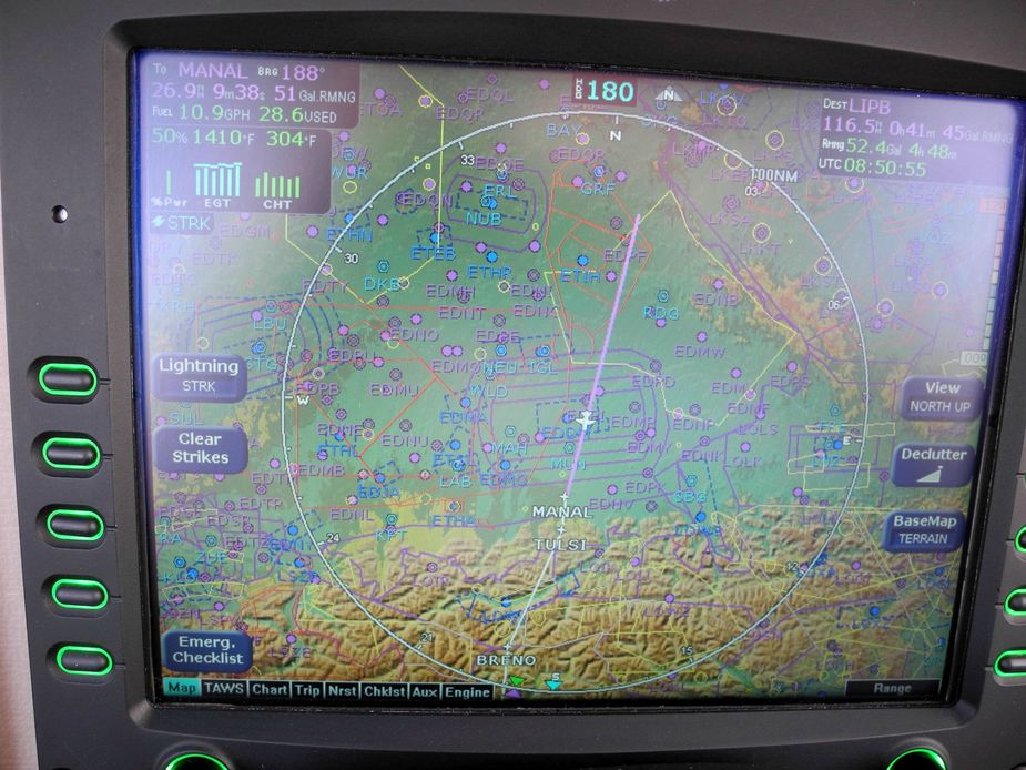
Although not strictly necessary for weather, this first leg was planned as an IFR flight, at FL100. However, the instrument approaches at Bolzano require special crew approvals from the Italian ENAC, so a change to VFR for the arrival was planned. In places like Bolzano, the old adage holds true that, in a small single, if you can’t get in VFR, then you most likely neither will be able to safely get in IFR (due to the icing risk). The approaches in Bolzano are also one of those where you really want to be totally confident with your flying skills. Fortunately though, Bolzano has sunshine on most days of the year (as opposed to Innsbruck, which, being north of the Brenner Pass, has poor weather on most days).
Since flying IFR all the way to overhead Bolzano would have required us to (unnecessarily) climb all the way to FL150 during the last bit of the flight, I chose TULSI point (just north of the Alps) for the flight rule change.
Here’s the flightplanned routing:
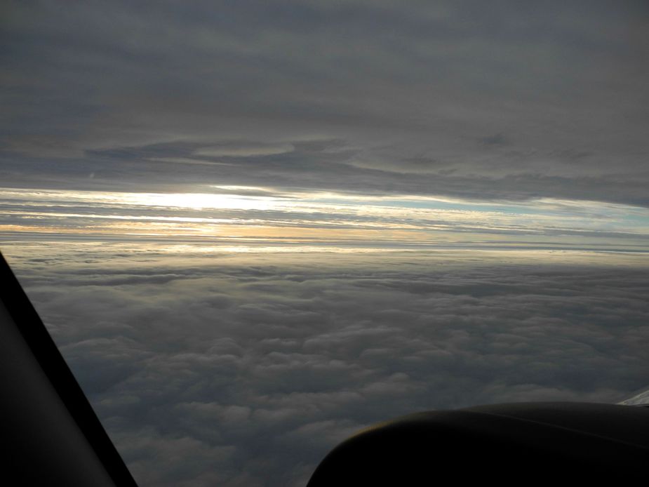
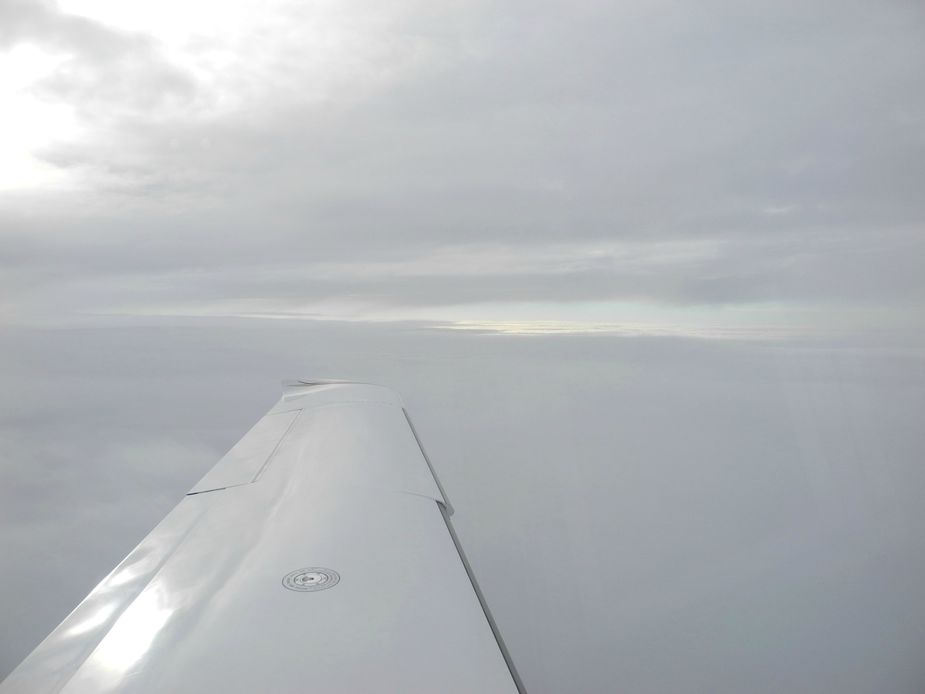
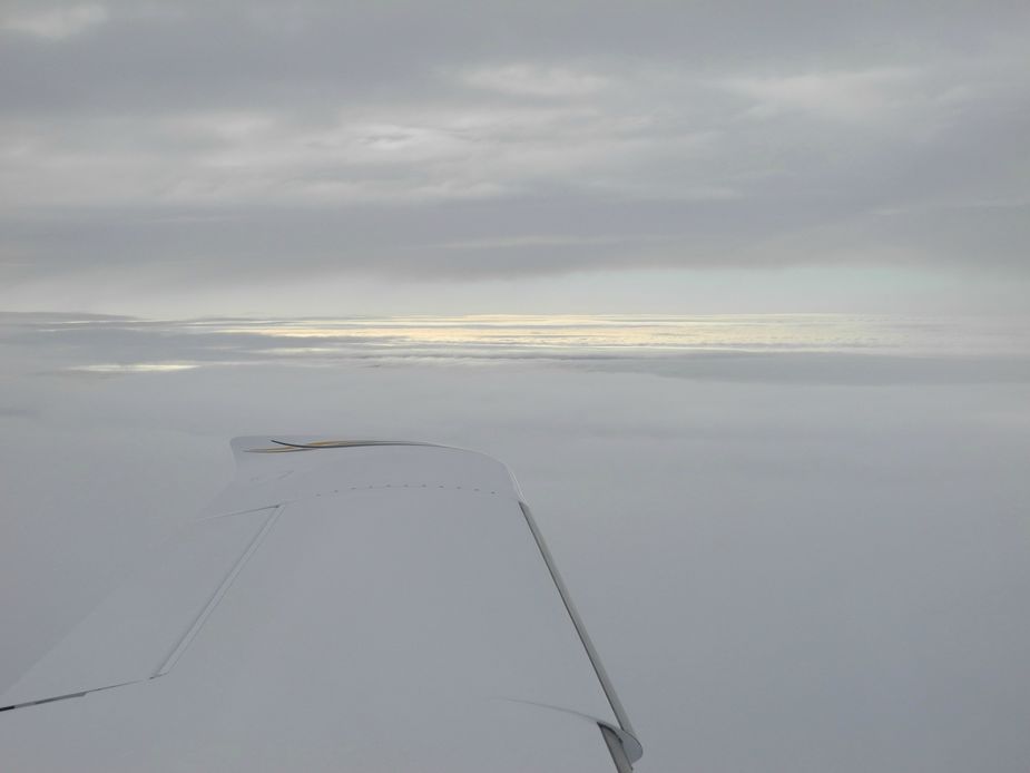
By the way, this leg was flown by my father, so I could concentrate on shooting photos. Off we went at 08:30 local time. Some stratus clouds below and above.
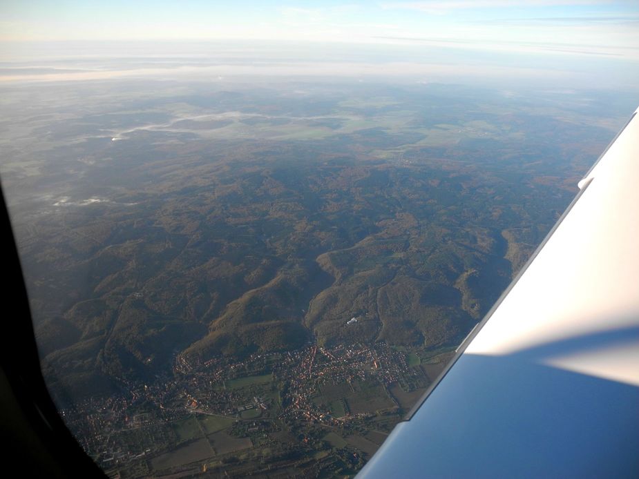
Not much to see on the first third of the flight. Here’s a glimpse of the foothills of the Harz.
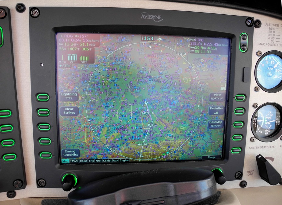
An active military area just east of Nuremberg required us to make a slight detour to the east, via AKOSI and RDG.
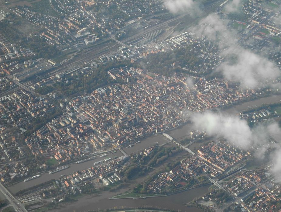
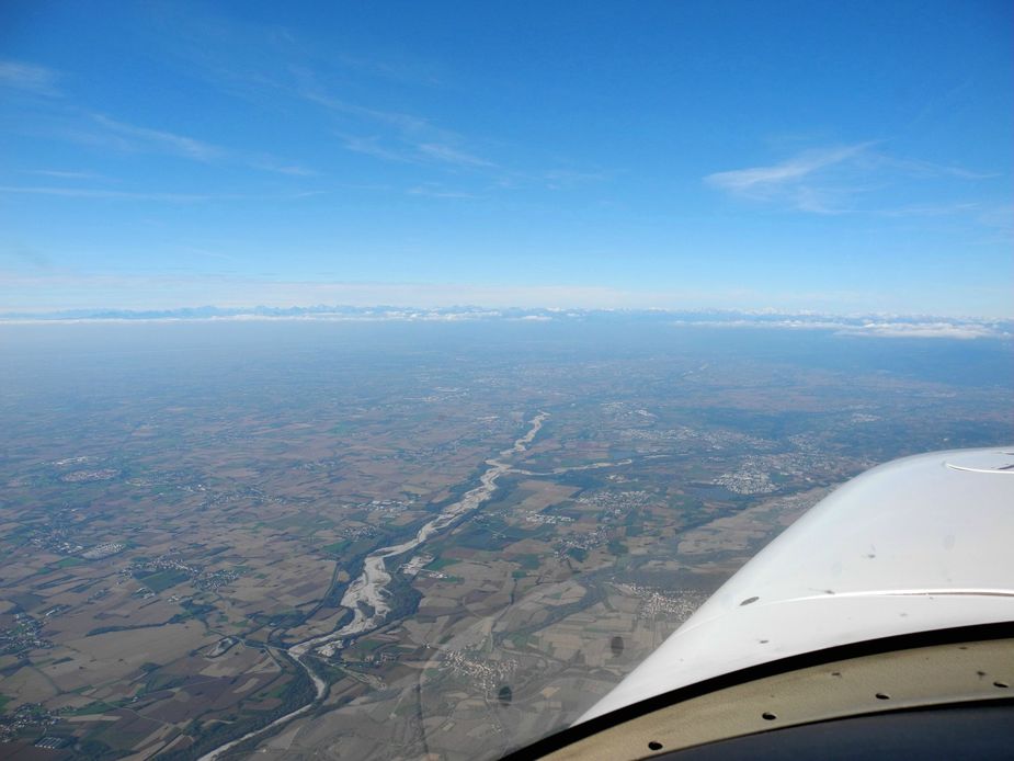
A nice view of Regensburg.

Here we are back on track towards our destination, which took us more or less right over Munich airport (EDDM). Nothing to be seen though, due to low clouds all around.
Given the nice tailwind, we chose to throttle back and save fuel. 158KTAS at 10.9 GPH at FL100. Who else (except maybe in a squeezy M20J) can do that?
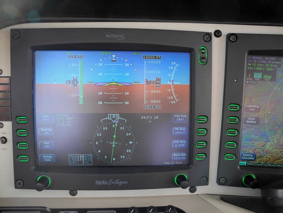
Here we are, approaching the Alps. Shortly after, we cancelled IFR at TULSI.
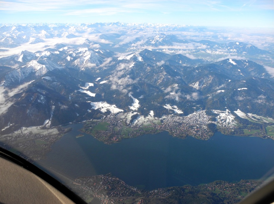
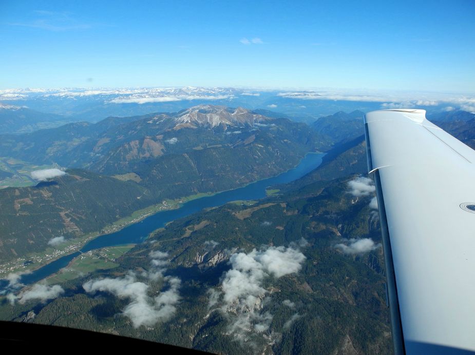
Tegernsee.
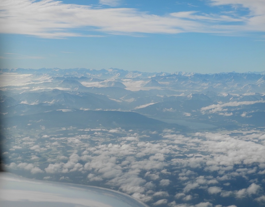
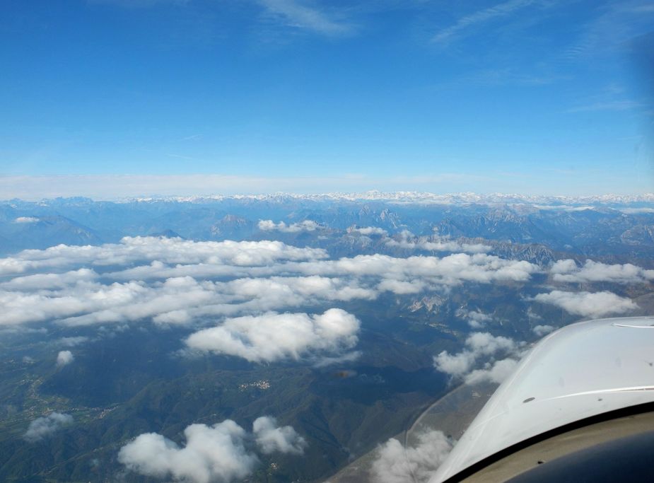
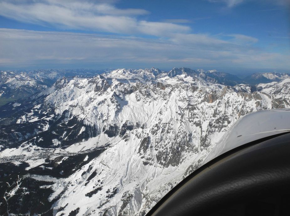
The Tyrolean Alps.
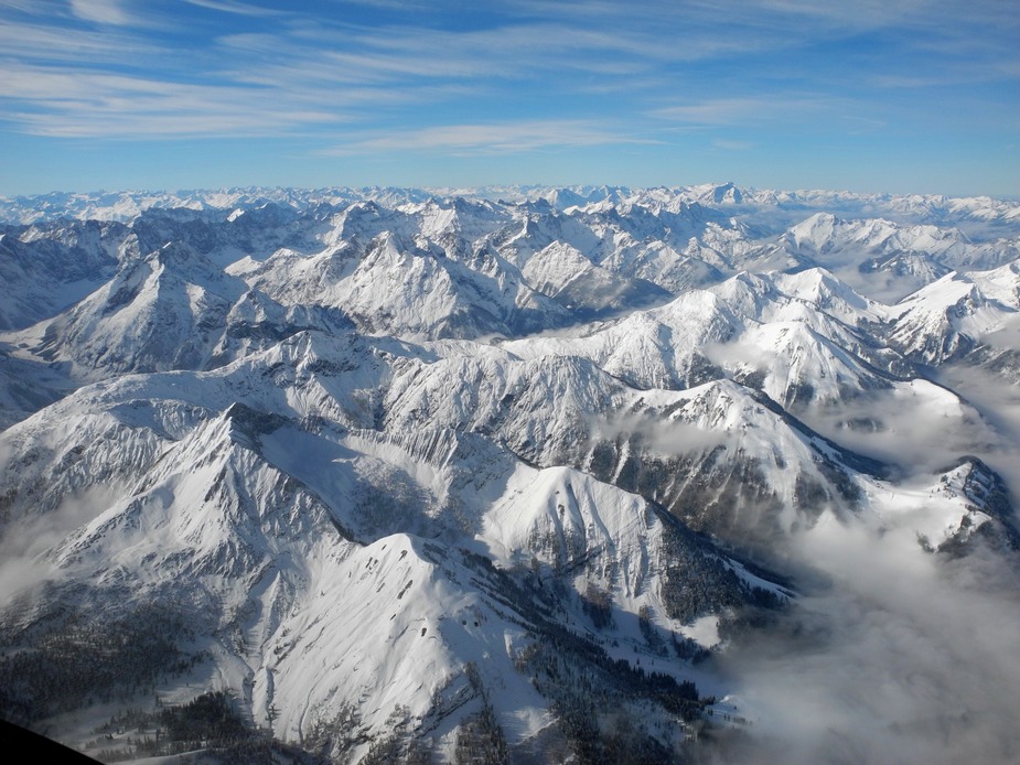
Here’s the Karwendelgebirge, just to the north of Innsbruck.
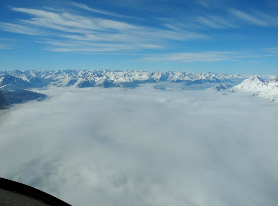
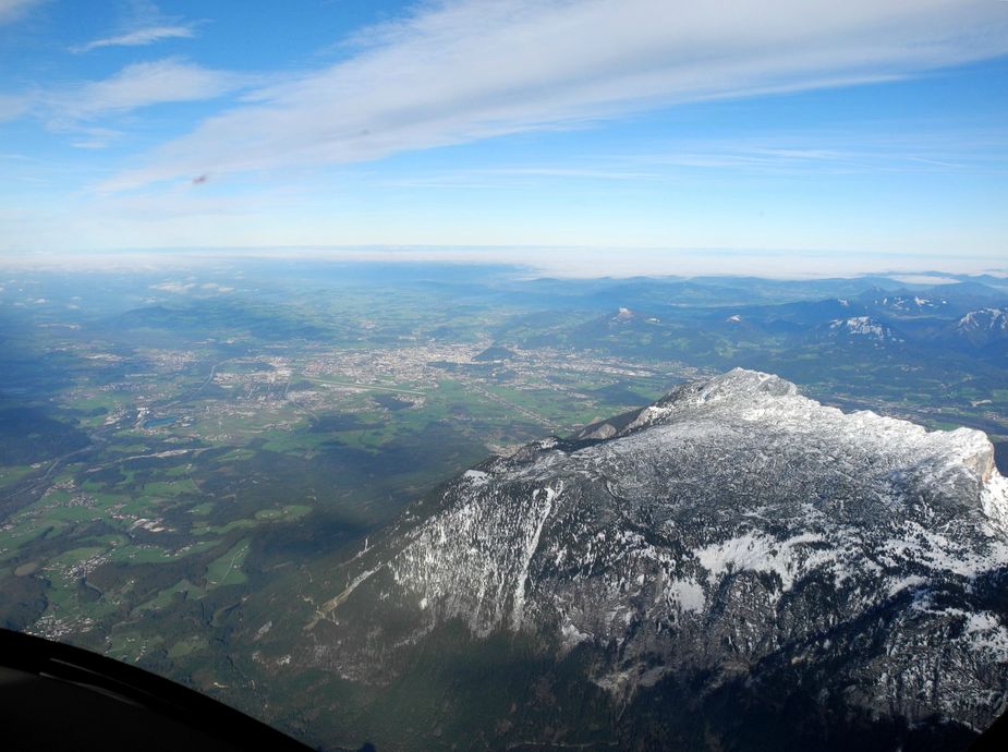
Right above the Inntal, which was “socked in”.
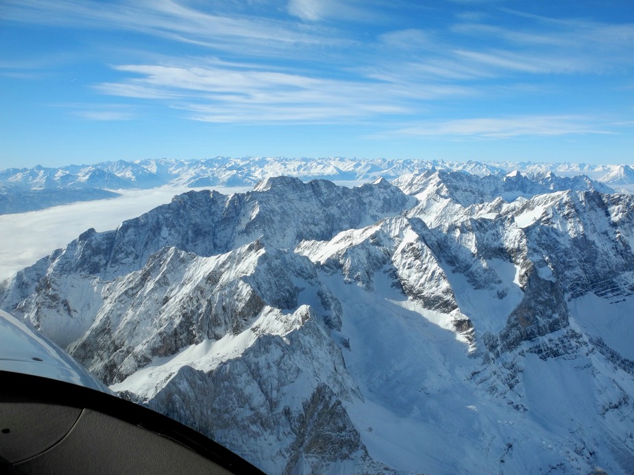
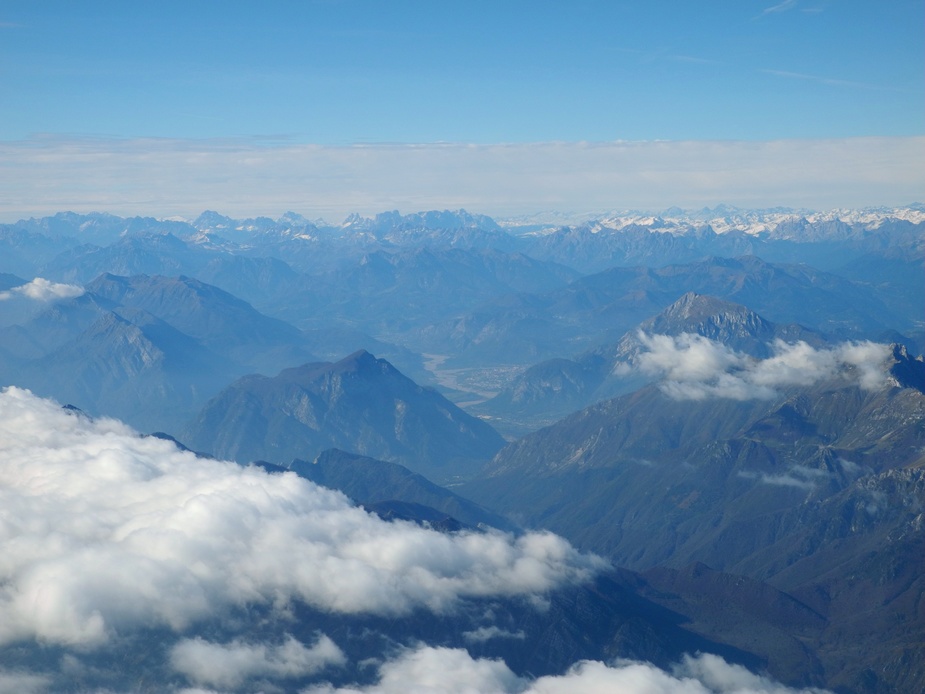
A view to the left, towards the Tuxer Alpen.

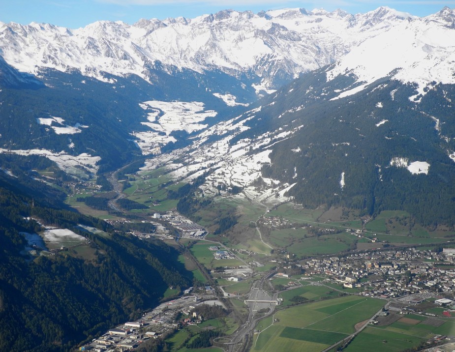
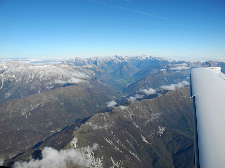
Now in a steady descent, we followed the Wipptal, to cross the Brenner Pass at about 6500 feet. Here we are, just past the Brenner, heading towards Sterzing / Vipiteno. Note the immediate difference in snow cover.
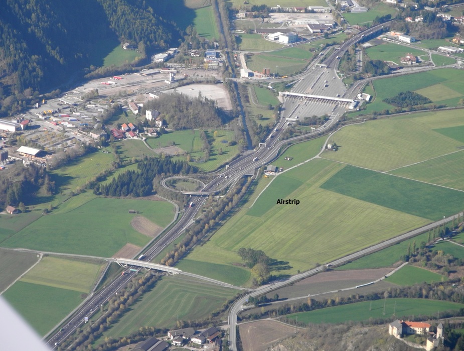
Here’s Sterzing. Most of us will recognize it for its famous toll station, where everyone coming into Italy has to draw a ticket.
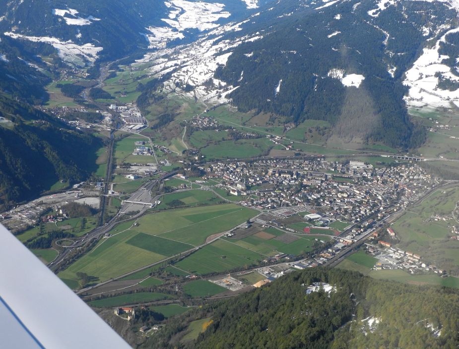
Here’s a close-up of the toll station. Also, just below, one can see the airfield of Sterzing. Unfortunately, it’s mostly restricted to gliders (but still… useful for emergencies).
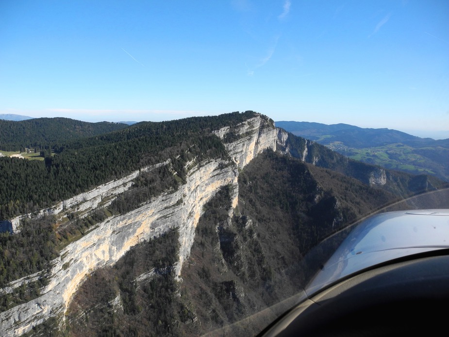
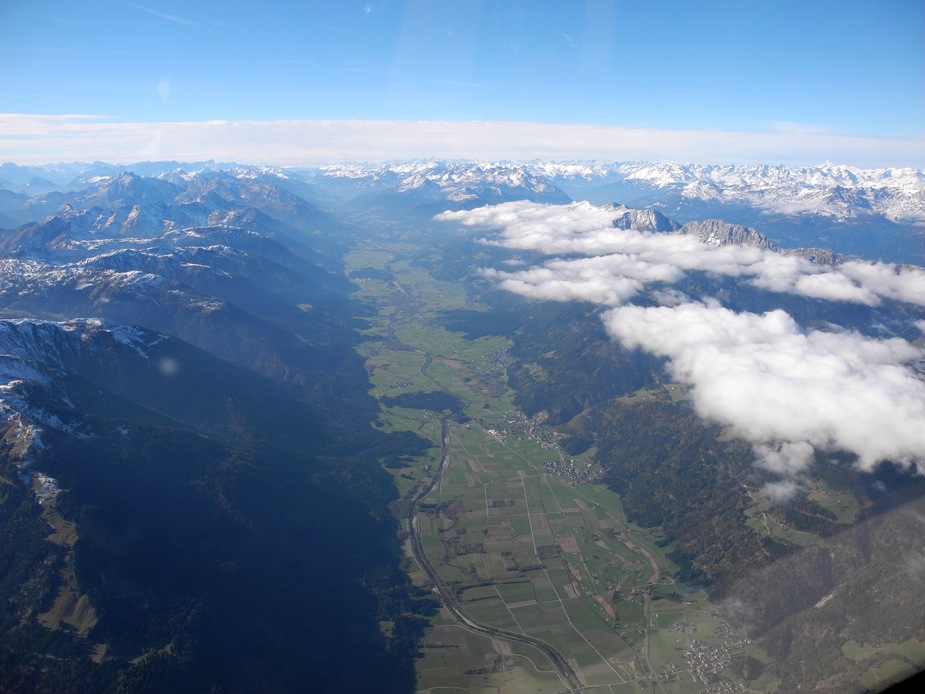
West of Sterzing, the entrance to the Ridnauntal.
Proceeding further down the Eisacktal.
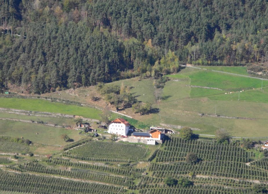
Just before reaching Bolzano, here’s one for connoisseurs of South Tyrol, the Rielingerhof, aka “Heindl”. Wonderful childhood memories for me…
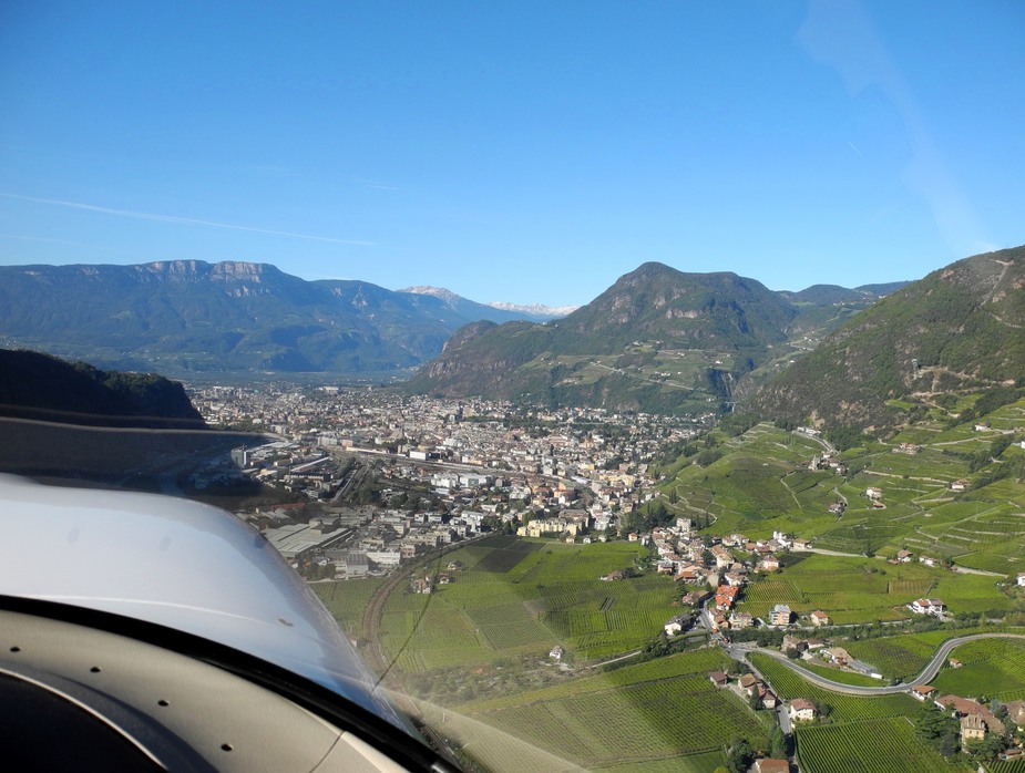
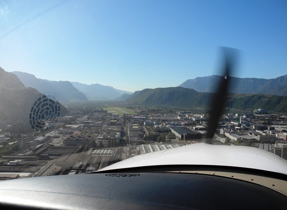
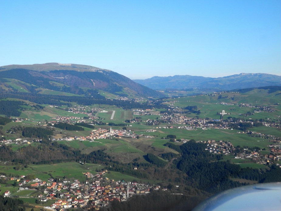
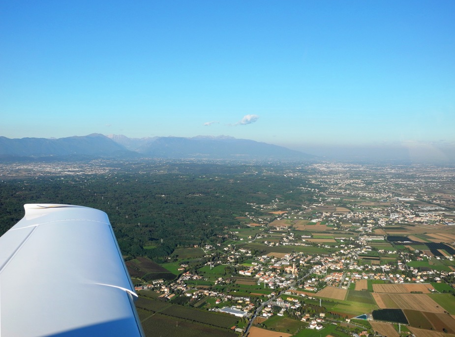
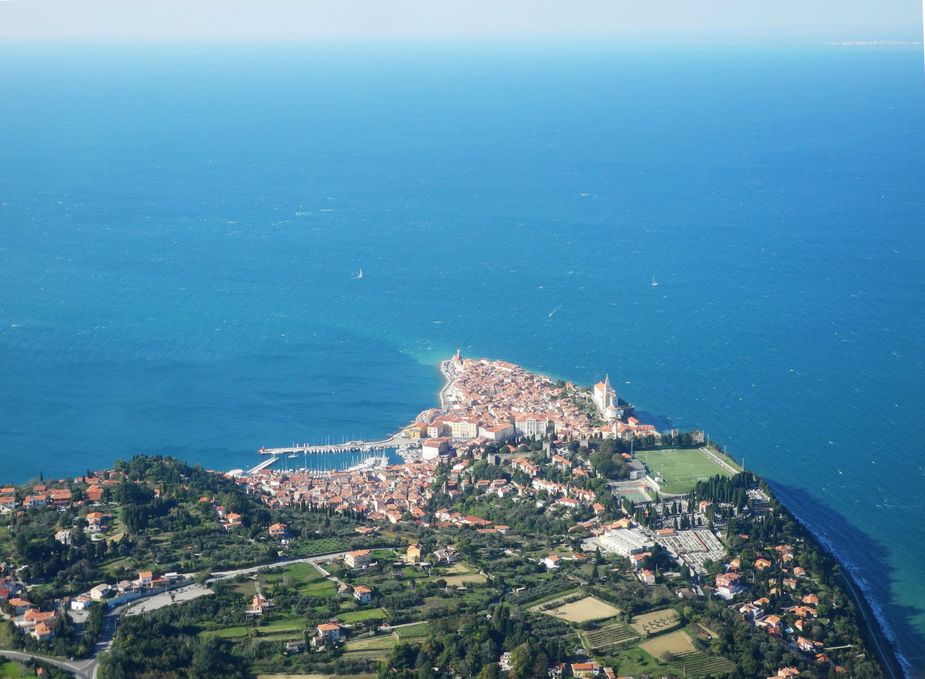
Here we are, reaching the city of Bolzano. The airport is “just around the corner”, behind that rock on the left.
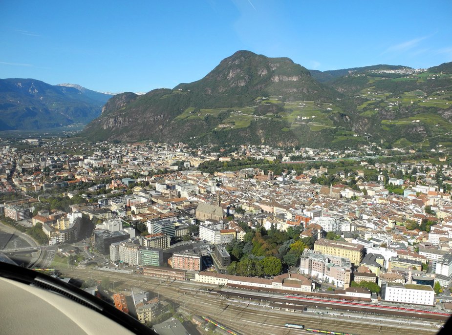
Here’s a closer shot of Bolzano, with the train station, the “Duomo” and “Piazza Walter”.
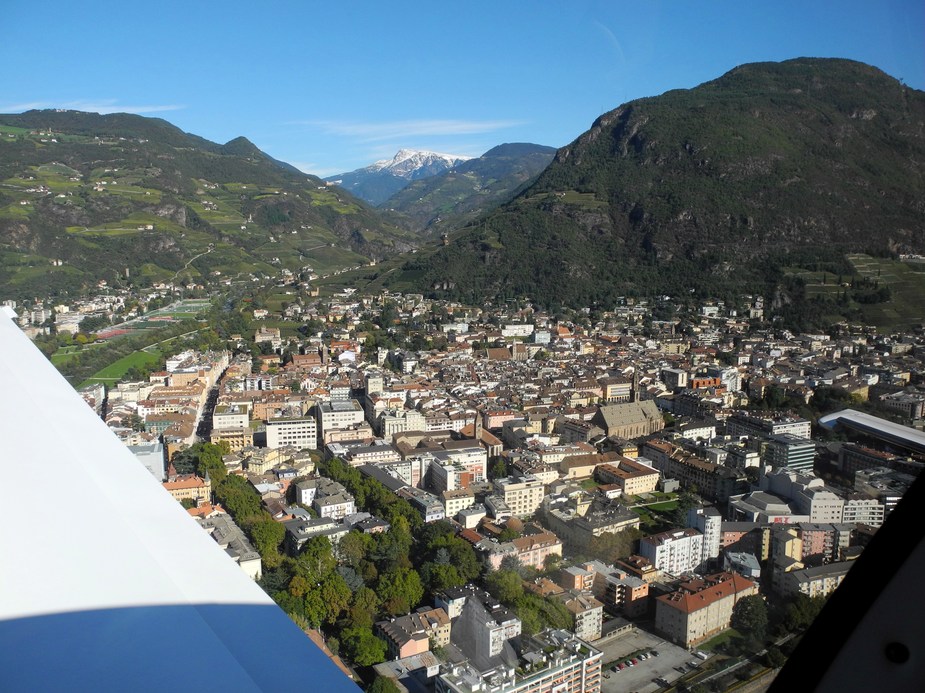
Another view and a glance up the Sarntal.
Coming up on final for runway one-niner at LIPB.
Short final.
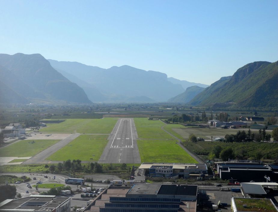
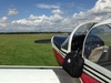
Parked on the grass apron.
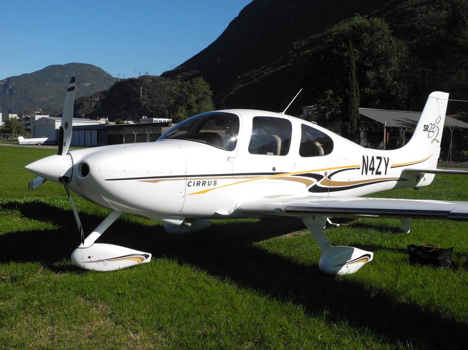
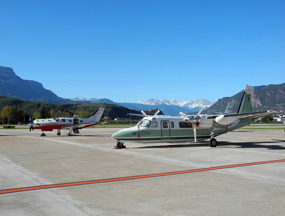
Besides us, there was just one lonely Kingair (parked on the main apron).
Flying time was 2:46h. Here’s second half of the track flown:
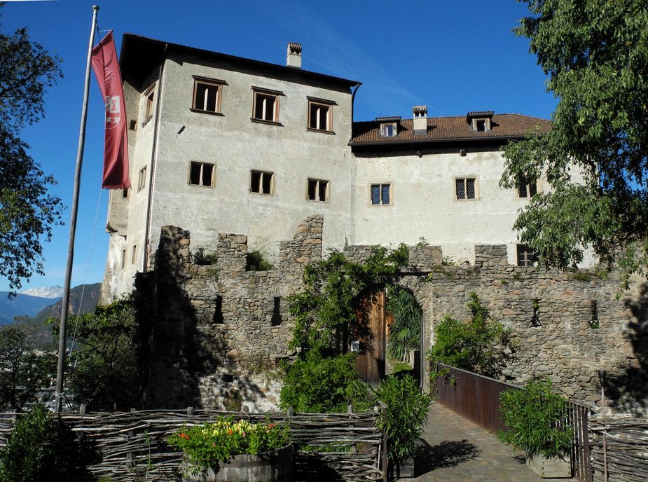
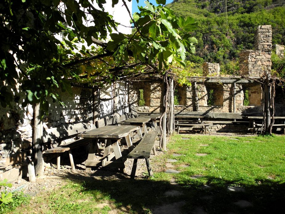
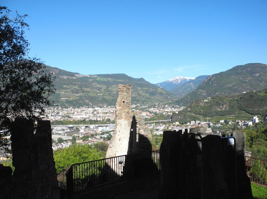
At the airport, a very old friend of my father, living near Bolzano, picked us up and we left the airport to have lunch together at nearby place called Haselburg (Castel Flavon in Italian). This turned out a really good choice. An old castle slightly up on a mountain, with nice views over Bolzano and the surrounding valleys. Here’s a link: http://haselburg.it/deu/restaurant.html (only German and Italian).
View towards Bolzano.
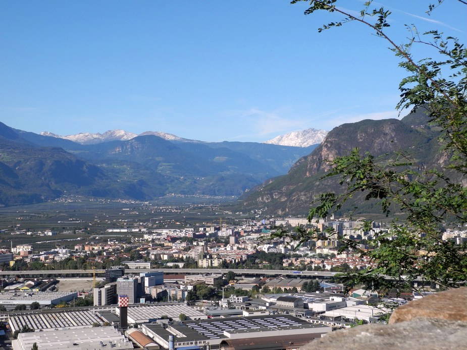
Southern parts of Bolzano and the entrance of the Etschtal.
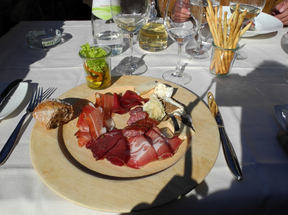
And finally, some South Tyrolean food (“Brettljause”).
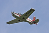
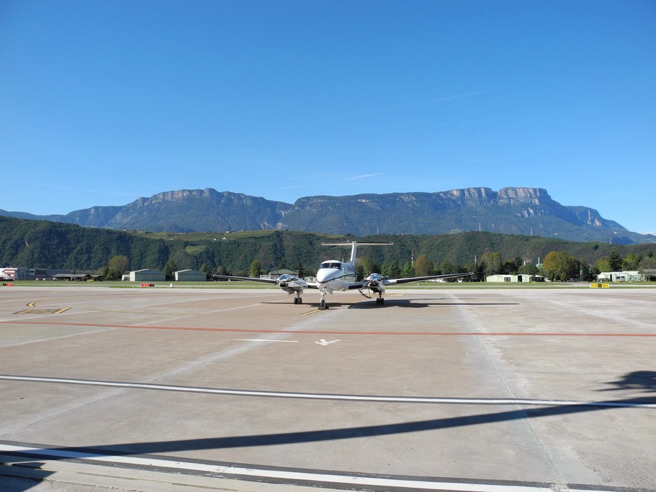
After lunch, we returned to the airport. In the meantime, a lot more GA aircraft had landed. In the foreground, I-BLFE, a Rockwell 690A Turbo Commander, which belongs to some kind of aerial fotographing company. Funny enough, the last time I had seen it was in Reggio Calabria (LICR), pretty much on of the most southerly points in Italy. Now here she was, at Italy’s most northerly airport. In the background N350BR, of of the PA46Ts belonging to the “Innsbruck Jeptrop Gang”.
We had decided to fly to and spend the night in Caorle, by the Adriatic Sea. On our way there, we would pass nearby Asiago airport (LIDA), so decided to make another stop there. For who doesn’t know where that is, here is the track flown on the subsequent flight:
After takeoff from runway 19, we flew straight ahead and left the Bolzano ATZ via Sierra. By the way, shortly after that, one is flying past the “Salurner Klause”, which is the landmark where the German-speaking part of Italy ends and Italian takes over.
Near Trento, the entrance to the Valsugana.
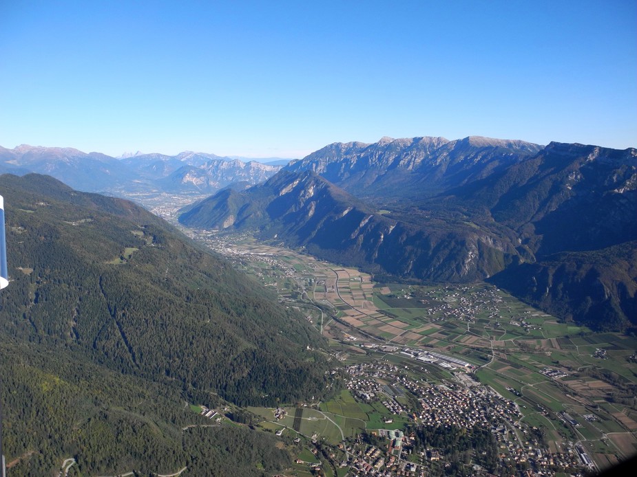
Tpyical landscapes for the Trentino region.
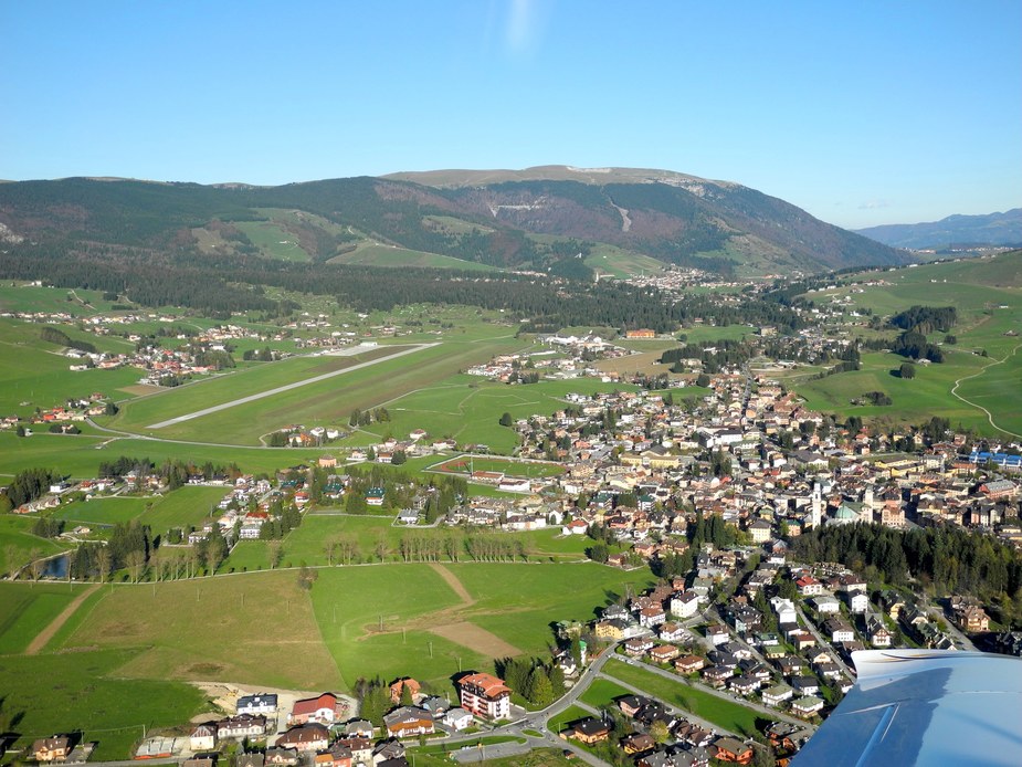
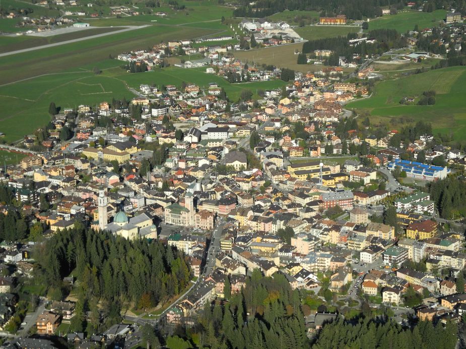
A left turn behind that last rock and you are in the Veneto region (my “home” region), precisely on the Altipiano (high plateau) of Asiago. Here we are, approaching the airfield from the west. The elevation is more than 3400 feet, making it the highest public airport in Italy.
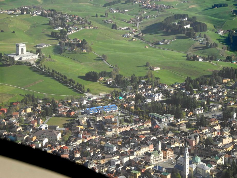
Here’s the town centre of Asiago and the characteristic military war (WWI) monument. Consider that this area was one of the most embattled of the First World War.
Since there was nobody on the radio at Asiago, I did an overhead join to check the windsock and then landed on runway 08 (the airport is “one-way” due to its runway slope). Safely down after just 20 minutes of flight.
This is the beautiful airport building of Asiago.
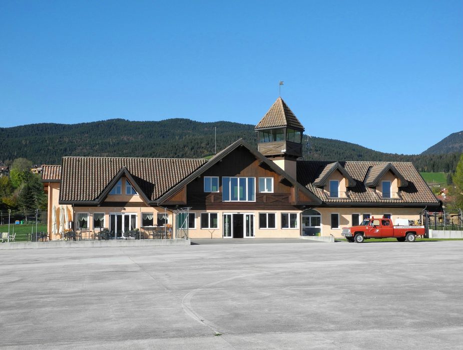
There is some story to this. It was built more than 10 years ago but never finished, due to shortages of funding (we’re in Italy after all  ). Hence it remained in an 80%-status for all those years and the airport was managed from a small hut. I almost did not believe they would ever finish it anymore, but had recently heard that they did and that was actually the main reason for this short visit, to see how it turned out.
Very nice, I have to say. A very spacious reception, a pilots lounge, etc. They rent out mountain bikes. The airport now also has a bar and a restaurant, so we had a coffee on the terrace, enjoying some of that typical mountain air.
After that, off we went, again VFR, to our destination Caorle (LIKE; yes, that’s the ICAO code ). Here again is a preview of the subsequent flight’s track. As you can see, one has to cross through a maze of CTRs on that flight, but as long as one is willing to use the radio, it is all very straightforward and traffic is almost zero outside the ATZ of Venice airport.
On departure, a couple more shots of Asiago.
Just north of Bassano di Grappa, we crossed the impressive valley of the Brenta, one of Northeast Italy’s most important rivers.
We were now in the heartland of the Veneto region, the Province of Treviso. A beautiful piece of Earth! Here’s the “Montello”, which is a very shallow, wooded hill north of Treviso.
By the way, this area could also be called the heartland of light aviation in Italy. Nowhere else in Italy (and probably in all of Europe) is there such a density of airstrips as in Italy’s Northeast (maybe the Southeast of England comes close?). Have a look at this map… almost 100 published airports and airstrips just in that small Northeastern corner of the country. I can honestly say that I have visited most of them between 2006 and 2012, mostly by ultralight.
Flying towards the Adriatic Sea at 2000 feet.
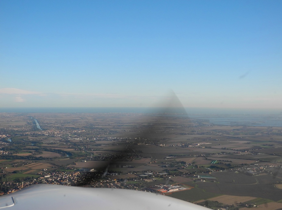
San Donà di Piave.

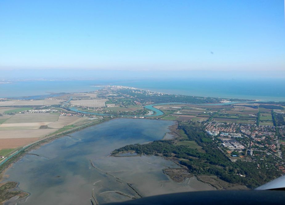
Approaching the seaside town of Caorle. The airfield is just slightly left of the centre of the photo.
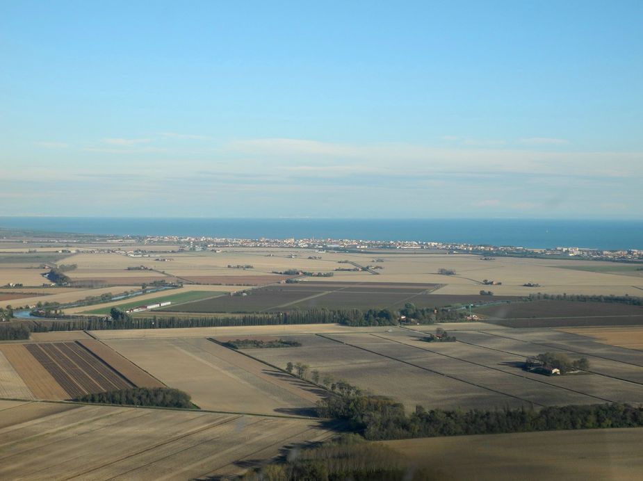
Here’s a closer look at the airfield:

This airfield didn’t exist until about 7 years ago. It was created by a group of enthuasiasts, at a time when light GA, and particularly ultralight flying in Italy was still booming. Then came the economic crisis and I understand the airfield is now struggling to keep alive and pay the rent. Tough times!
By the way, on this approach, I tried what was suggested on another thread here, i.e. checking the windsock whilst flying the downwind leg. Well, it obviously does work of one flies a very tight, slight slanted circuit.
On the ground, we were welcomed by a bloke from England, who currently works there as an ultralight instructor. The price for an overnight in the hangar was the same (10€) than for parking outside, so we obviously chose the hangar (even though it was a bit tight fit the SR22 in…). We then took a taxi to the town centre of Caorle and checked into a hotel.
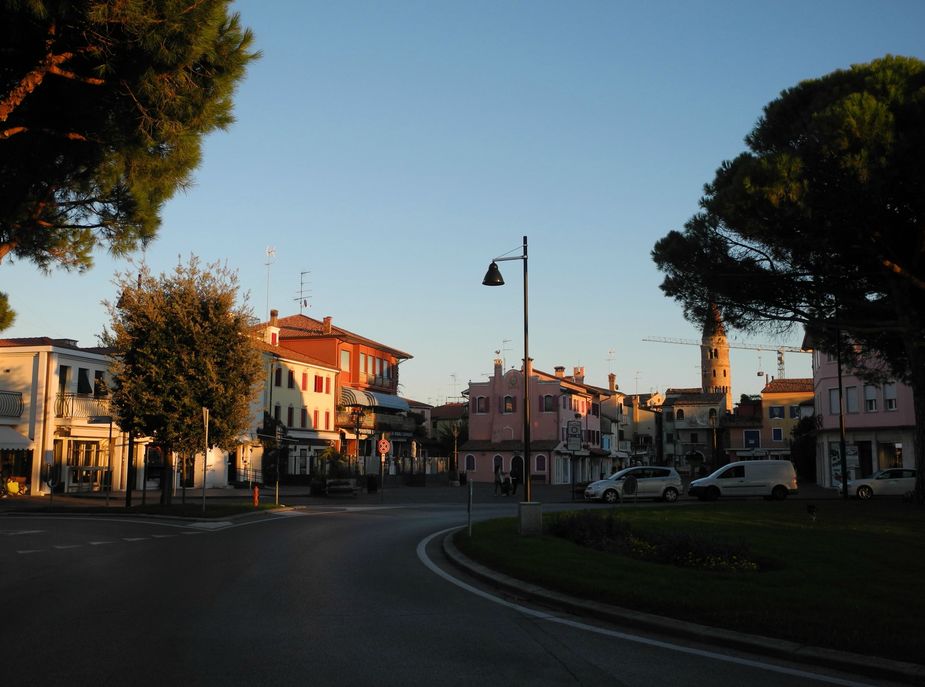
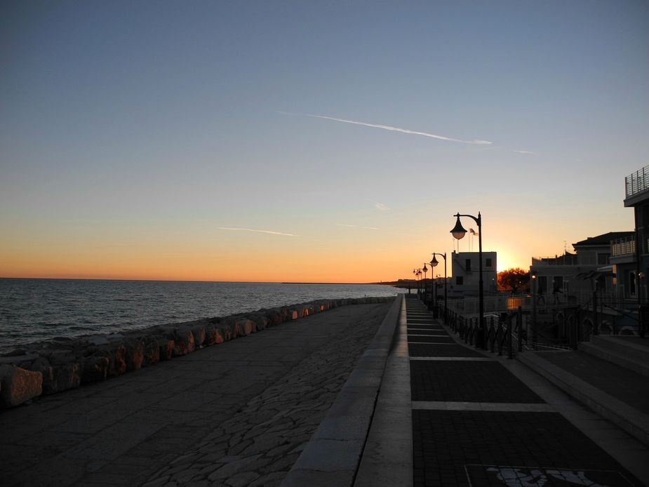
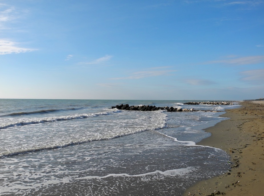
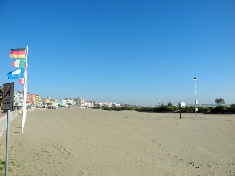
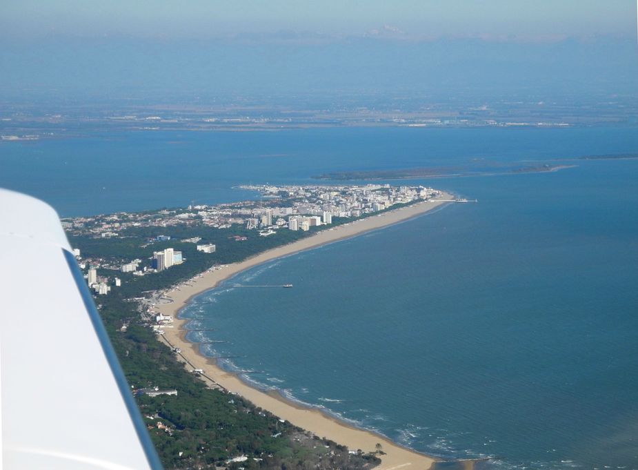
Along with Jesolo, Bibione, Lignano and Grado, Caorle is one of the important seaside resorts of the Upper Adriatic coast of Italy. However, even when the season ends, Caorle still retains a little bit of life of its own. Here’s a few early evening impressions:
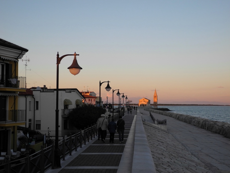
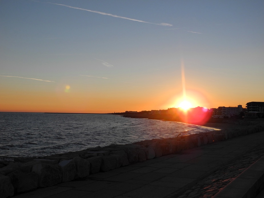
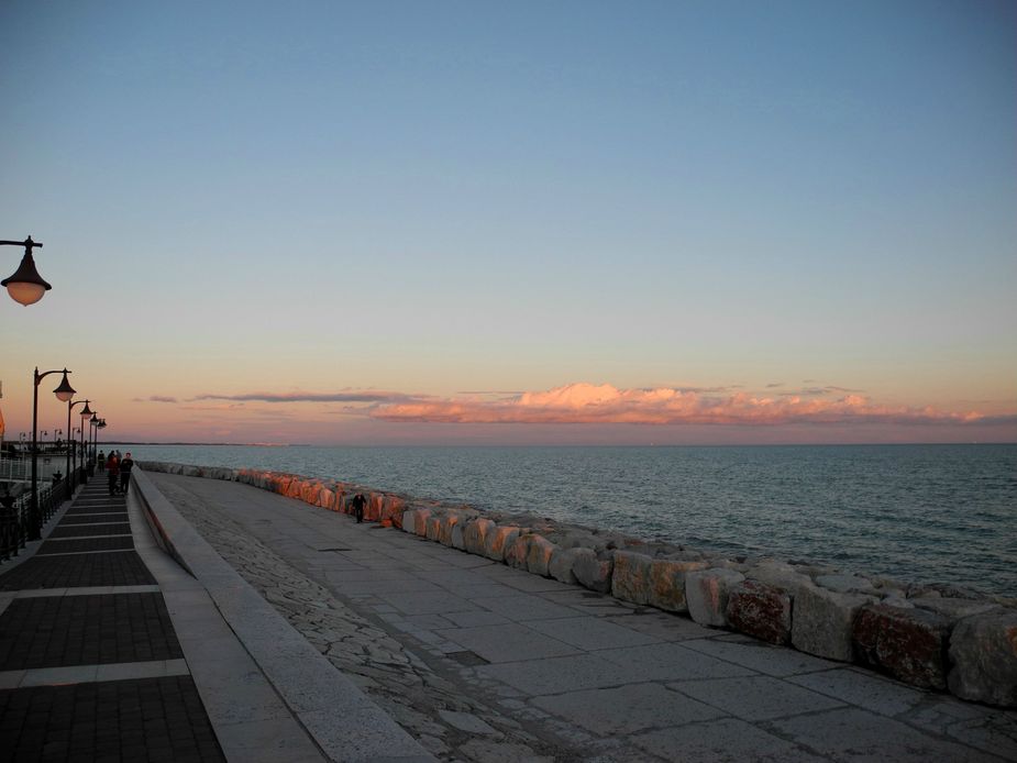
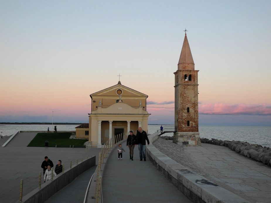
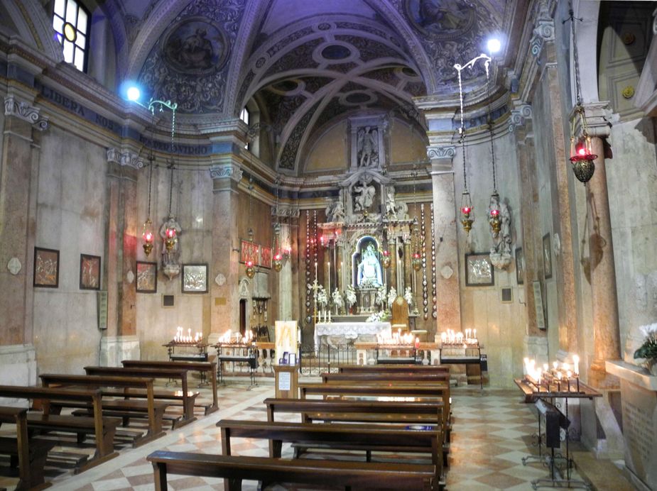
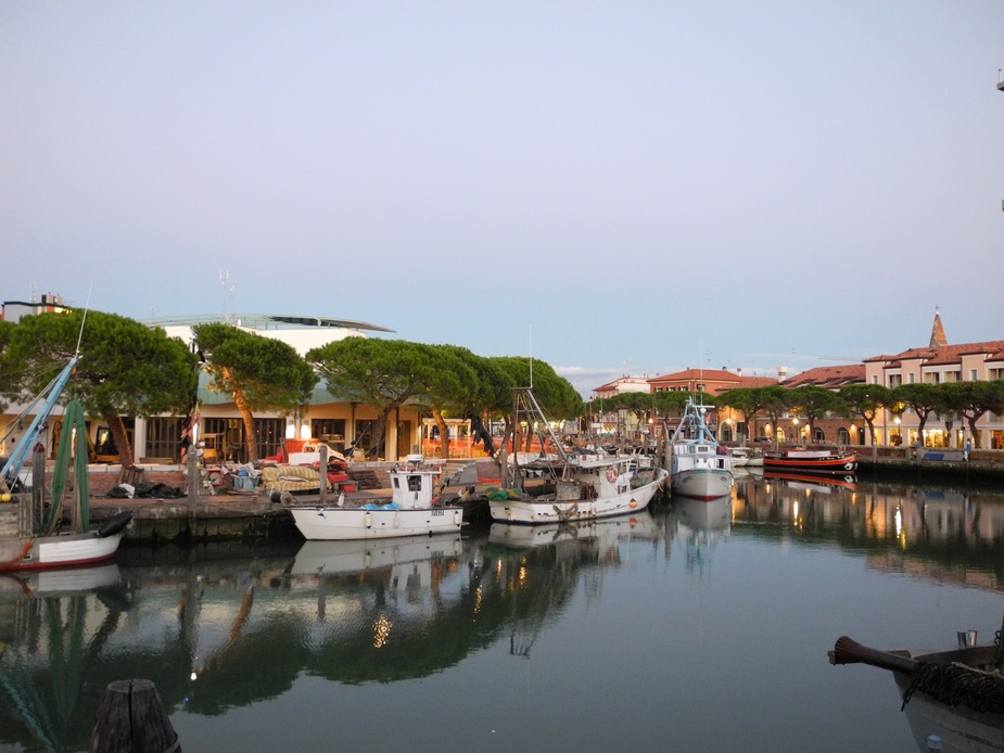
Fast forward twelve hours, and a few more pics of Caorle in the morning.

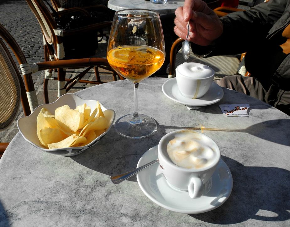
However, in the end, we spent most of the morning sitting in a cafè and enjoying our time.
In the meantime, we considered the weather for our flight home. This is the DFS prog chart for 12:00Z. Basically fine weather over most of the Alps, but some cloud starting to appear in the Salzburg area and then an area of (light) rainfall bang in the middle of Germany.
The sat image showed the front more clearly…
… but the radar image confirmed that it would be rather weak, with just some intermittent light rainfall here and there. Luebeck (EDHL) by the way promised to remain IMC all day.
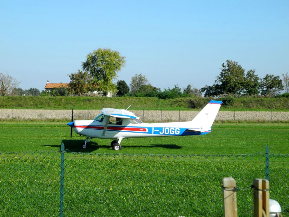
We returned to the airfield by noon. As I said, these are tough times for general aviation in Italy, so even a rare C152 taxying for take-off is a sight to behold…
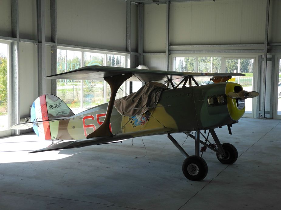
Whilst strolling through the hangar, I saw some slightly more interesting aircraft…
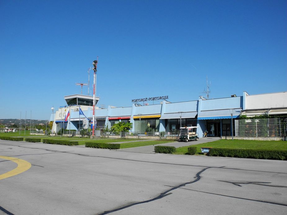
We had lunch at the excellent airfield restaurant (Spaghetti Vongole…) and then buckled up for a short hop over to Portoroz (LJPZ) for some decent-priced fuel. (Caorle does have mogas and avgas, but the price for the latter is north of three Euros, compared to 2.14 Euros at Portoroz, so in this case, the short 15-minute detour did make sense. Also, Portoroz, being probably the best GA airfield in Europe, is always worth a go.) Obviously, a short VFR flight plan was in order and was filed through Rocketroute:
Actually, UMBEK is not on the FIR boundary between Italy and and Slovenia, but between Slovenia and Croatia. So actually, one ends up cutting a corner of Croatian airspace on that routing, but nobody seems to care much.
Here’s the lagoon of Caorle.
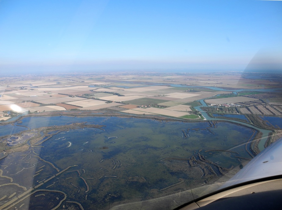
Right on the other side of the lagoon is another interesting airfield with the well-sounding name “Mazarack”. That is a bit of a historic mekka of the Northeast Italian microlight scene since it has a popular fish restaurant.
Here it is in more detail, with all the required explanations given…:
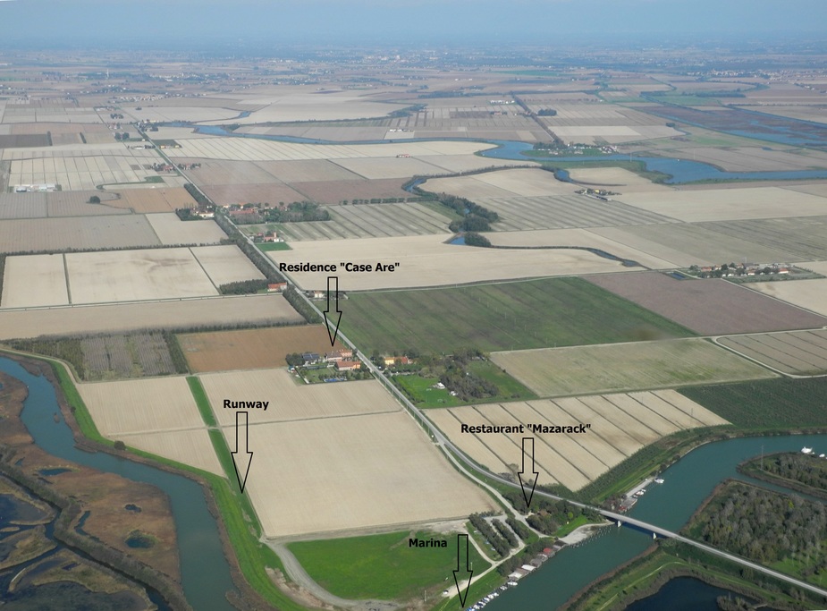
However, the airstrip is very narrow and anyway, it is only a “campo di volo”, i.e. not approved for certified aircraft. Just a few miles ahead, I decided to check out another airfield. Ex-airfield, to be precise, since the owner unfortunately decided to close it last year, for unclear reasons…
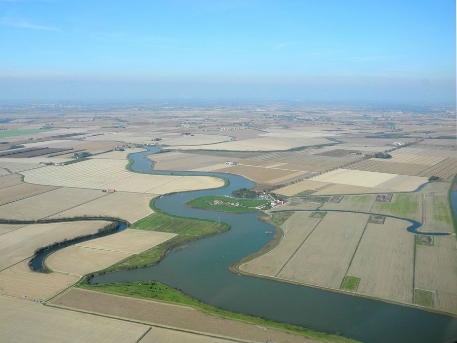
Here, on that greenish island in the water, is a very unique resort, the http://www.casanovaresort.com/en. It has been set up by a friendly farmer called Roberto. One can rent one of those houses, rent a boat or just enjoy the countryside. He had set up a nice airstrip (with approval as “Aviosuperficie”!), which was located just on the very right of the above photo. As far as I understood, he had some bad consultancy and was led to believe that we would have to invest thousands to keep it in compliance with the latest safety standards, so he closed it…
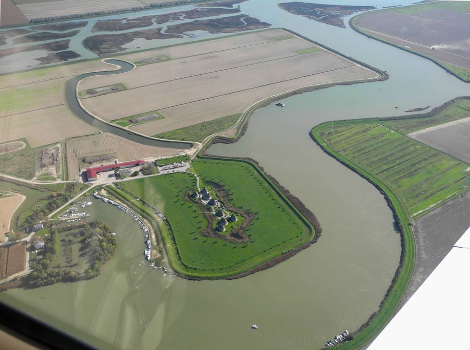
Here’s another shot of the resort and its “marina”…
Anyway, we turned east again, first towards Lignano Sabbiadoro….
…and then out toward the Sea. Here we are approaching Portoroz:
The fuel stop took us less than twenty minutes (the flightplan had already been filed in the morning).
The route back to Luebeck would be very similar to the one flown in late August. However, this time, the flight could not have done completely under VFR, so we chose to fly VFR only up Salzburg roughly and then join IFR for the rest of the way to Luebeck.
Here’s what was filed:
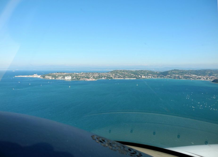
We took off at around 14:00 local time. On our northbound departure from Portoroz, as always, a nice view of Piran.
Flying alongside the Torre River and climbing to FL105.
This is Gorizia, right on the border to Slovenia.
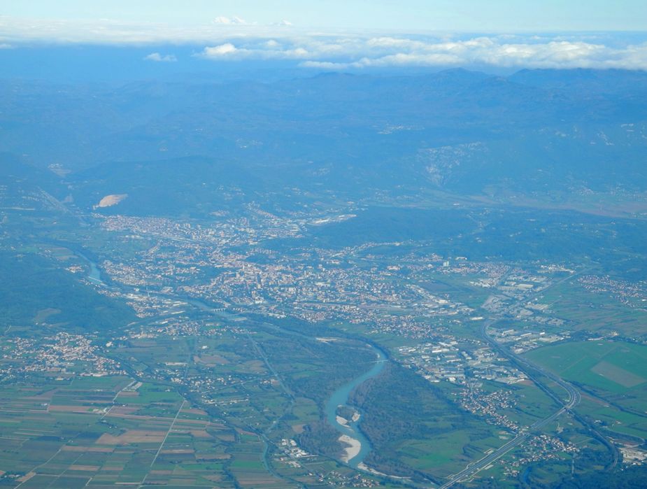
On the very right, one can see the city’s airfield, LIPG. Unfortunately, like many other minor airfields (of those which are classed as “aeroporto”, i.e. “licensed airfield”), it suffers from very onerous fire fighting requirements (even just for ICAO Cat 1 standards), so unfortunately, it ends up being closed most of the time.
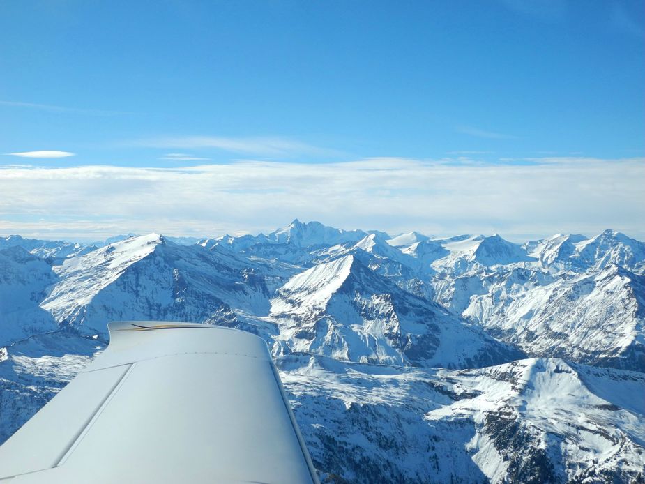
Here’s a look to the right, towards at the Slovenian Alps with their characteristic looks.
And the look ahead towards the Austrian Alps.
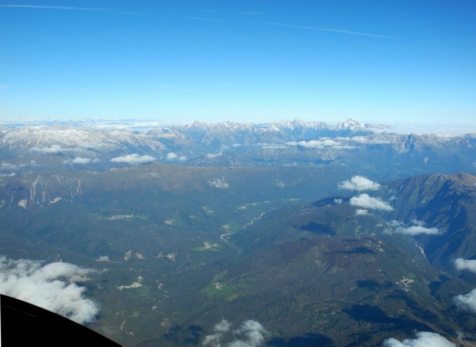
The Tagliamento Valley, near Tolmezzo.
Kaernten.
Gailtal.
Weißensee.
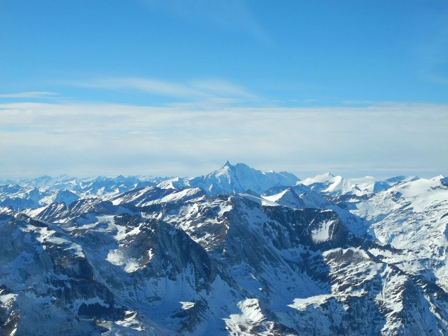
Hohe Tauern, with its most prominent mountain, the Grossglockner.
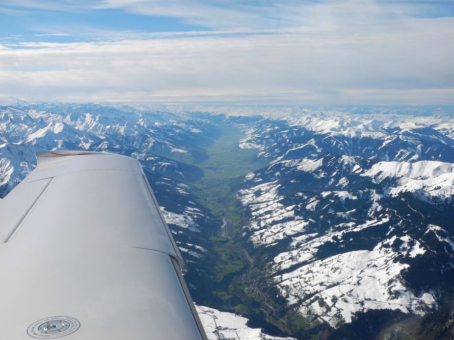
The Salzachtal, near Zell am See. High clouds were now approaching, just as expected.
I was surprised to see that much snow on the southern flanks of the “Steinernes Meer”…
Abeam Salzburg.
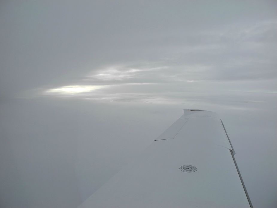
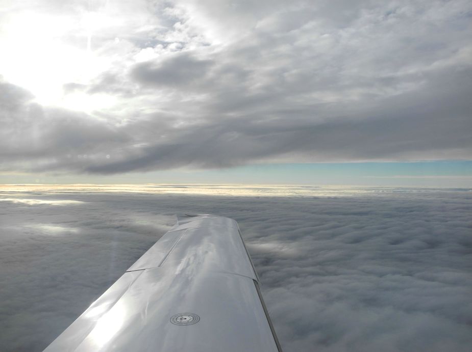
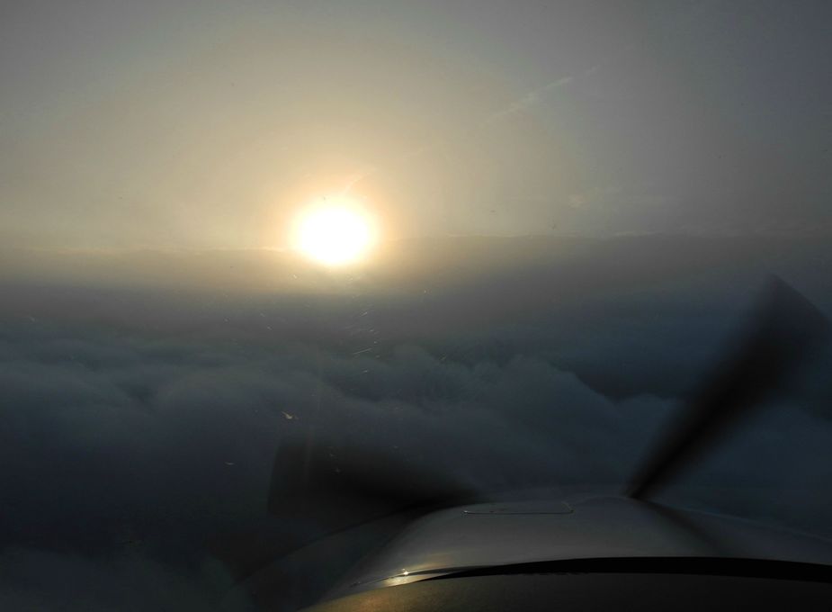
We then picked up our IFR clearance as planned. We shortly ended up between two stratus layers…
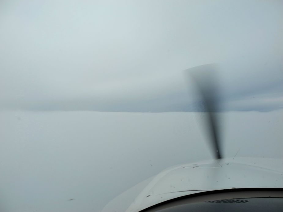
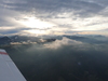
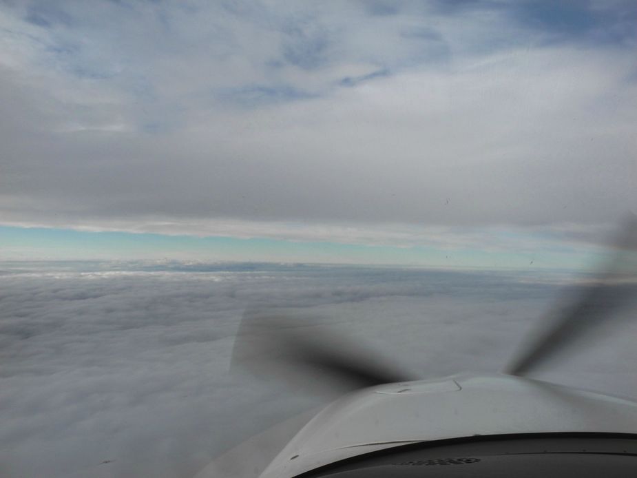
… and shortly after, the visibility ahead was completely gone.
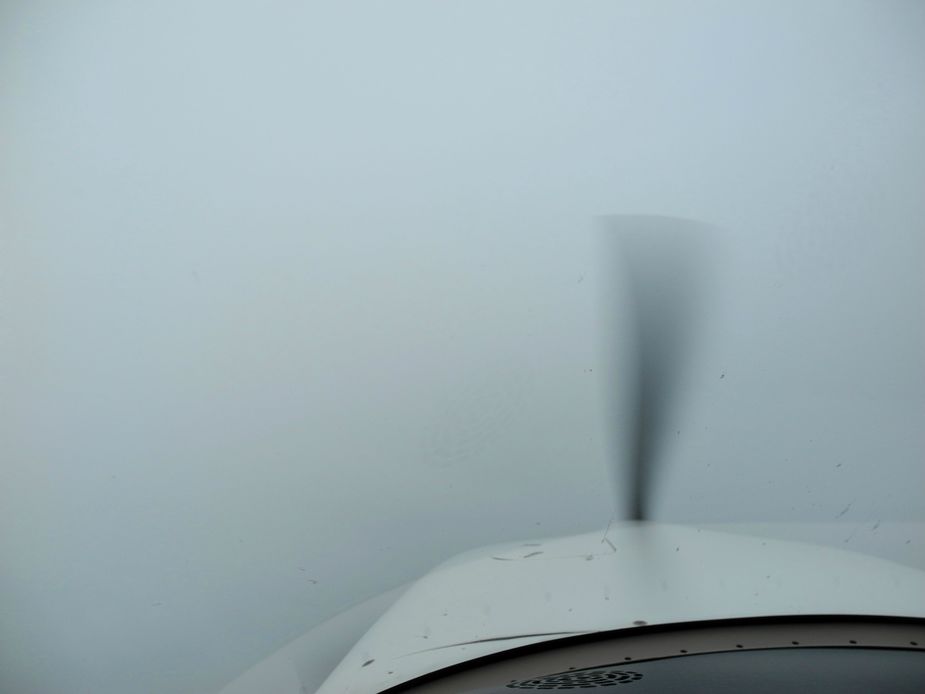
However, we head some downward visibility, so it was obvious we were not really inside cloud. I was happy about that, since the OAT was -2 degrees, so any cloud would have quickly brought some ice, but it didn’t come.
This continued for some time, and since it was all grey in grey, it remained hard to judge how far we actually were from any cloud. I constantly had to keep a look out toward the wing and be alert for any ice forming.
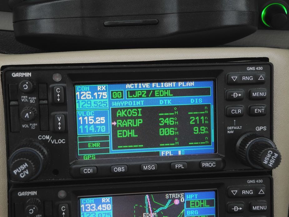
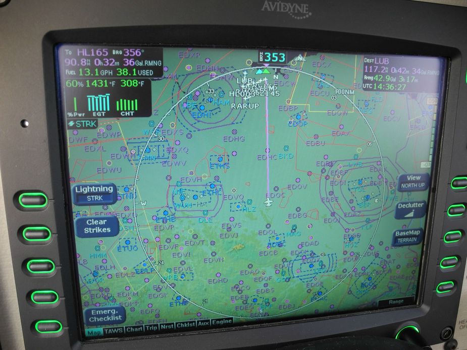
In the meantime, we got a nice DCT all the way to RARUP, the start of the southerly STAR for Luebeck.
Other than that, not much to show you…
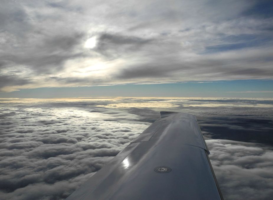
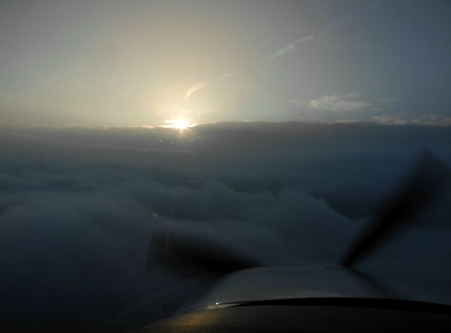
However, in the Magdeburg area, we slowly broke out as we had apparently come “behind” the front.
And the look ahead was now also clear.
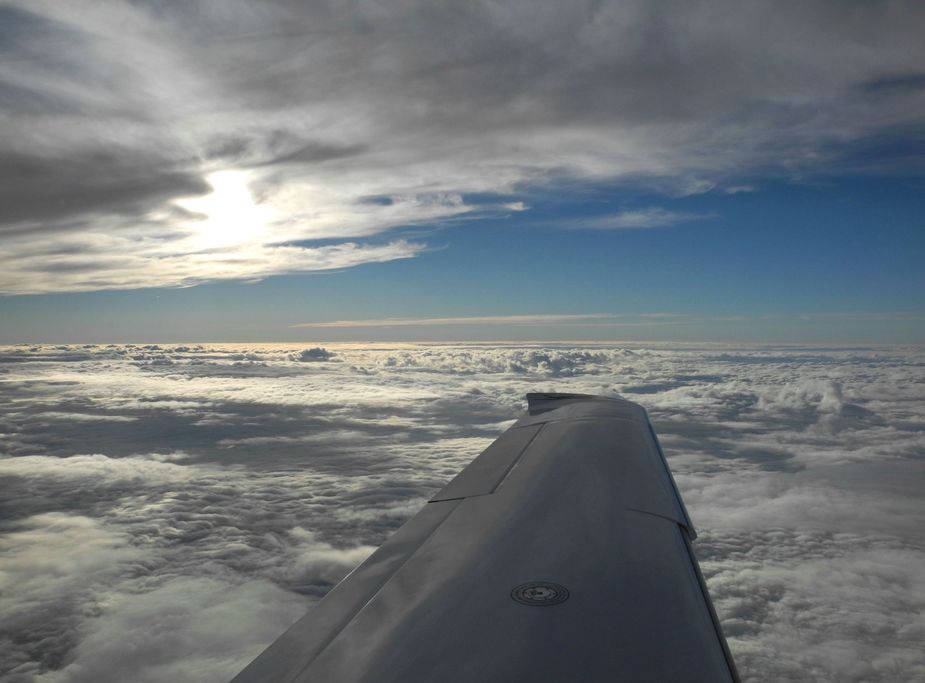
Just can’t get enough of these beautiful shots in the soft afternoon light…
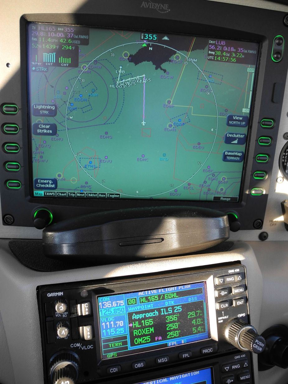
Upon our request, we were cleared to HL165, which is part of the transition procedure. Note that this waypoint is one of those which can no longer be selected directly from the database of the GNS430. One has to load the approach, select “via RARUP” and then select the waypoint from the flightplan’s waypoint list.
One more…
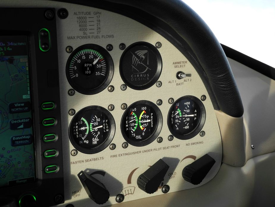
The “standby engine gauges” on the early SR22s. Even after ten years on this aircraft, I still prefer these mechanical gauges over the electronic representation on the MFD.
By the way, the weather at Luebeck was 500 broken, with 3000 meters visibility. The controller eventually cleared us for the approach without any further vectoring, so it was a 120 degree turn at HL165 to establish on final. I have to say that the GNS430, in combination with the DFC90, did a fantastic job of anticipating the turn and rolling out precisely on final. The controller apparently watched this and said “very well done, contact Luebeck Tower on 128.7”.
On the ILS, just before descending into the low stratus.
And just after breaking out at 500 feet.

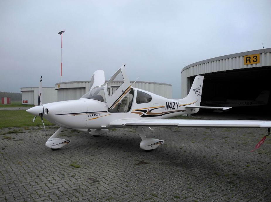
Back on the ground. This flight home obviously could not have been completed under VFR.

As always, Philipp, many thanks. A great flight, great photography, nice write-up, and a lot of useful information.
You seem set on making me forget all caution and reason and fly to Italy as soon as ever feasible. Be assured that, if ever I do, I’ll be on your back with lots of detail questions!
What a nice trip! Exactly how I’d want to spend time with my old man and sometimes do. Even though my dad only knows autopilot EDHE – EDXY 
But hey, my Dad gave me the opportunity (and the funds….) to have this amazing hobby and trip reports like yours show me exactly where I want to head with my hobby. Thanks for sharing!!!
Bosco, this is such a great trip report because I’ve been to many or perhaps most of the areas from Bavaria south and never seen them from the air!
Funny that you mention the infamous toll both at Sterzing/Vipiteno. My wife and I met as a result of a quick decision made to enter the autostrada there, on a day too wet and nasty to be on two wheels. The weather made me end my solo trip a day early, make my 2 Euro donation to Autostrade SpA and head back to base on the highway… where we met that evening and subsequently spent the extra day getting acquainted
Caorle looks great and we’ve never been there…
What a treat to read. Thanks very much. Frankly inspirational.
Very nice trip report! Thanks for posting all the beautiful photos
Once again an excellent writeup. Having been in this region for skiing, climbing and hiking countless times, I should really fly there once too …
What’s the biplane pictured at LIKE? A SPAD replica with a four-cylinder-engine?
Ideas ideas ideas ;-)
I’d like to know how one can establish in advance when the horizontal visibility will be as good as this
I have very rarely seen conditions like this. It is impossible to photoshop normal airborne pics to achieve this level of clarity.
Obviously post-frontal conditions are one indicator but it doesn’t always work.
One thing is flying FL100-110 instead of 160-190.
The other is preferably taking photos the same direction as the sun shines.
Then some slight editing (adding a bit of contrast, a bit of colour and reducing brightness slightly, without exaggerating).
@ blueline: no idea…