There have been many requests for more VFR trip reports. So I will post some photos from yesterday’s bimble around the vosges mountains. The original plan was to have lunch at Belfort (LFGG), which has a small restaurant on the field whose owner had told us he wanted to employ a new chef. We hadn’t tried the new menu yet, and since the weather was looking to be CAVOK all around it should be a nice easy flight… or so we thought.
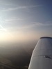
But what’s that? What looked to be mist from the distance turns out to be a few low cloud.

Then ahead, clouds look to be more dense. Is this just the impression that you get looking at an angle?
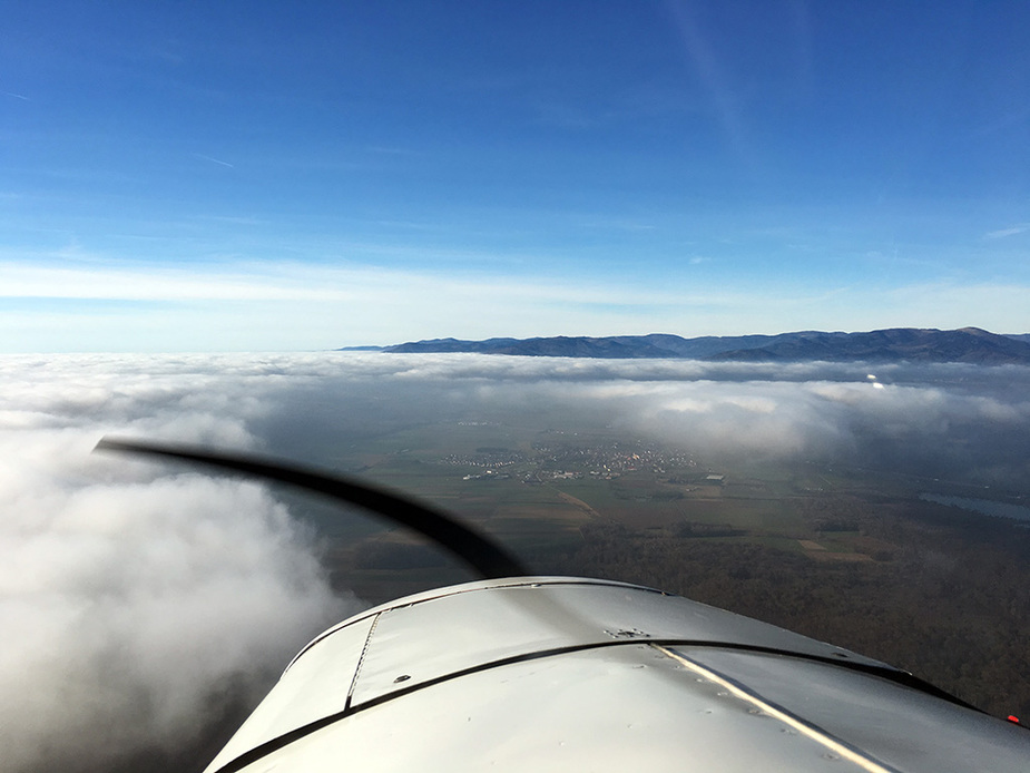
No. It’s actually an undercast of low stratus!
The hill next to the airfield (Le Salbert, 651 m; AD altitude: 416 m) stands out and actually does some “cloud breaking” downwind.
You can see that the wind comes from the south.
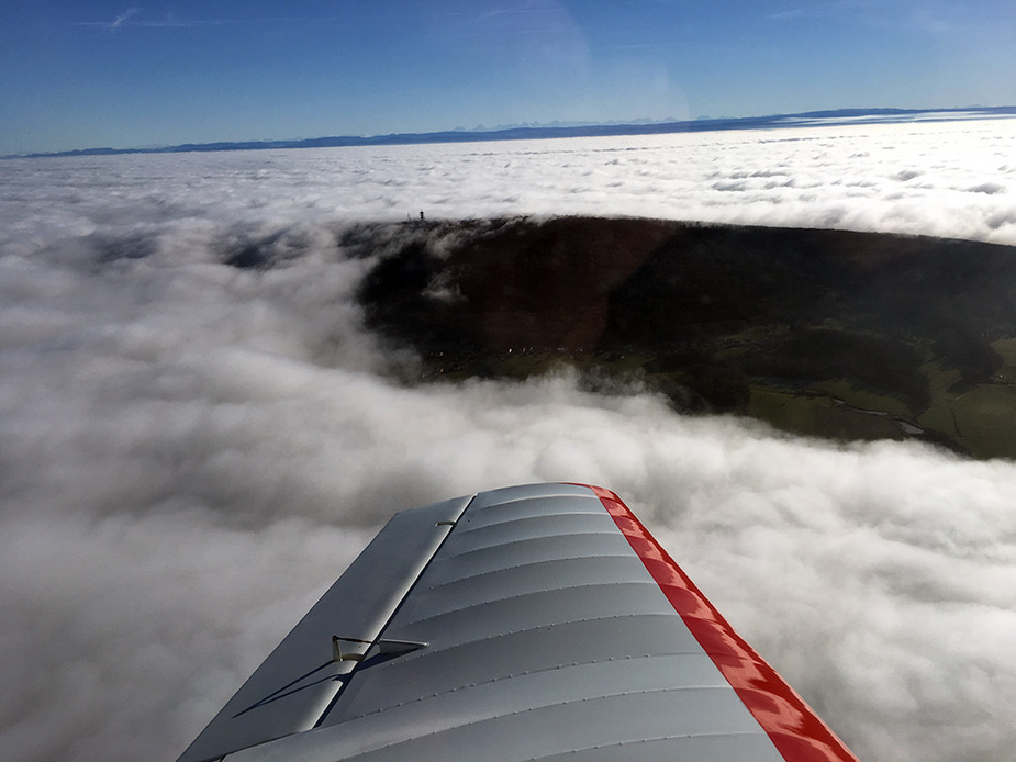
Even though it makes for a nice clear zone, it is not in the right place. The airfield is just under the beginning of the cloud deck on the left:
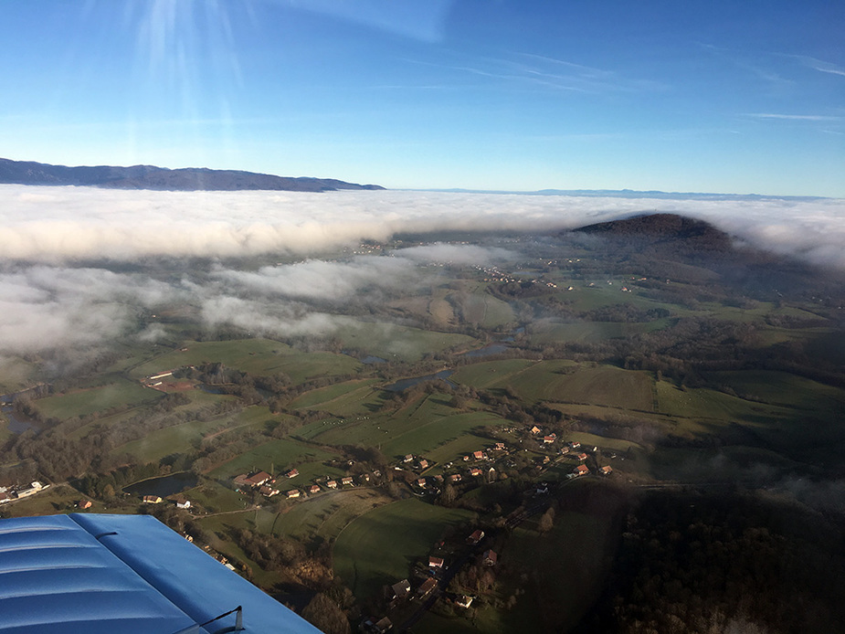
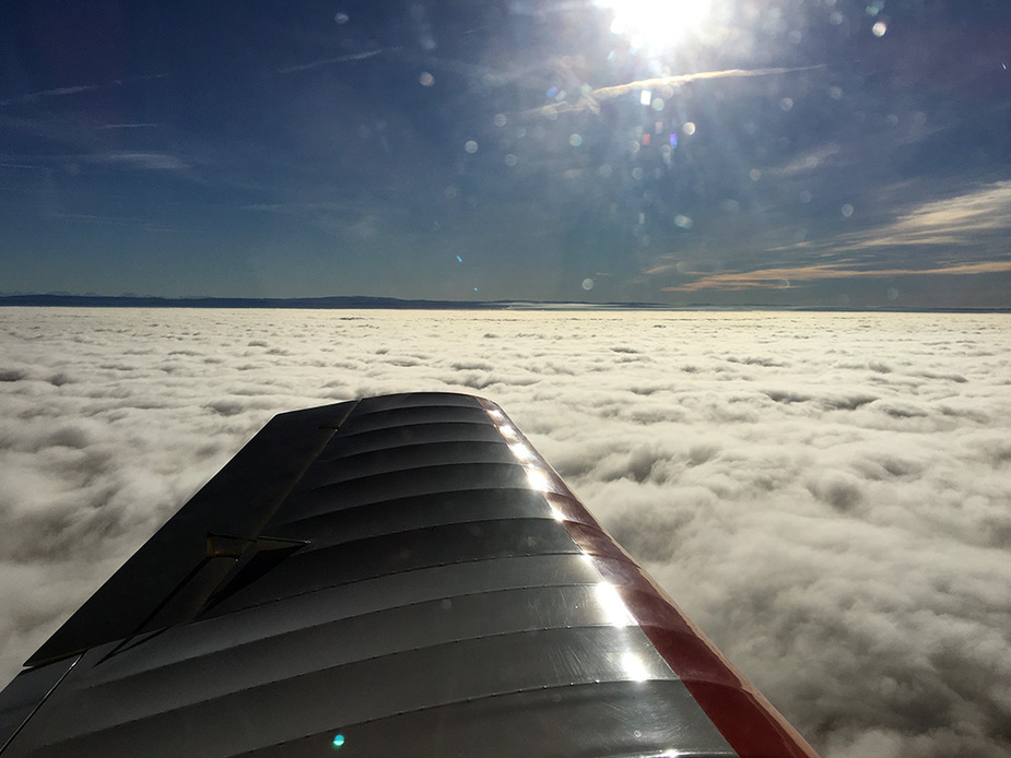
No lunch today. What now? Flying to Colmar would now require a flight plan. Let’s go to the Vosges, maybe Saint Dié. A look back towards the east:

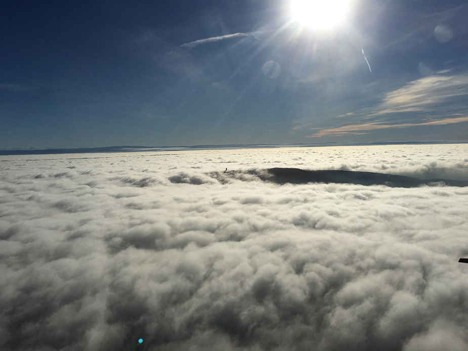
Valley of Maseveaux with the restricted airfield of Oberbruck, completely in the clear:
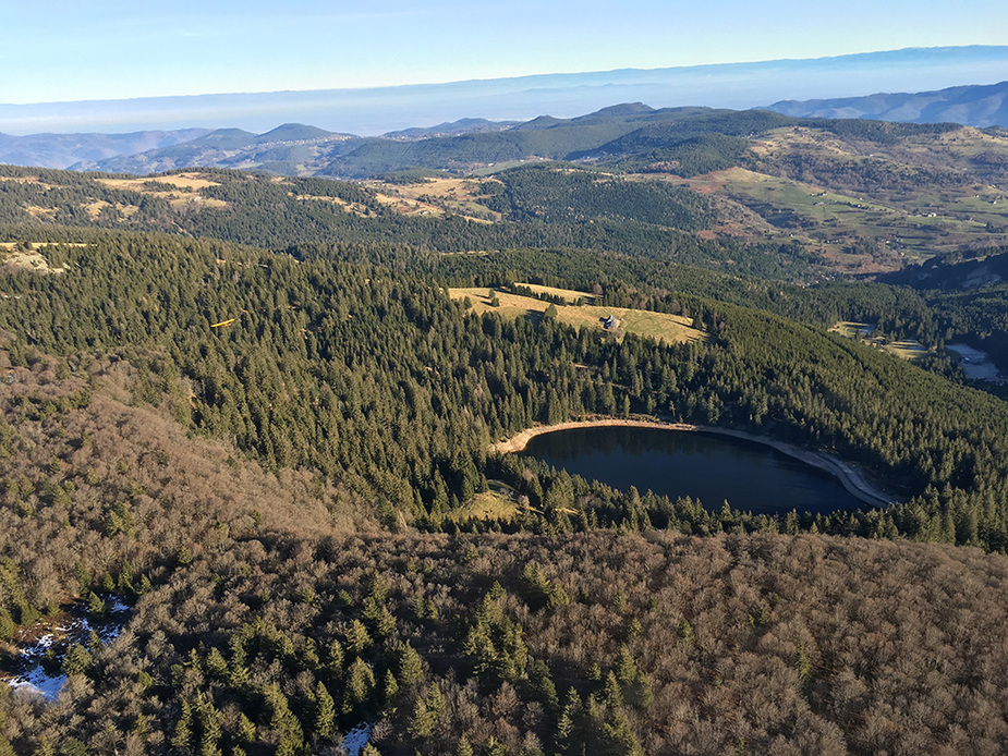
Lac Vert (Green Lake) with another of our club’s planes:
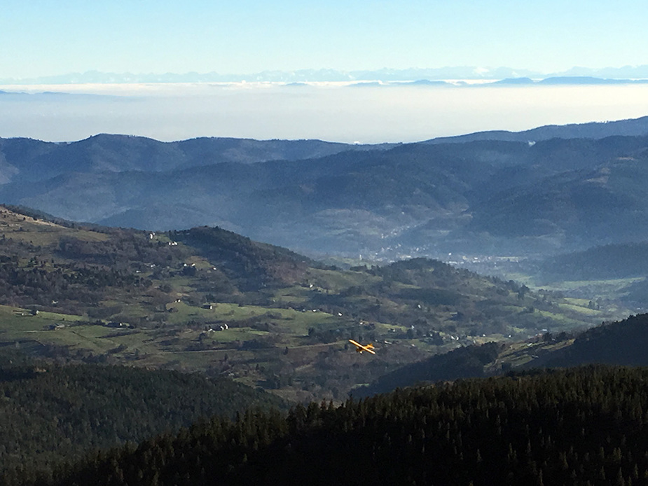
Again, with the misty pleine d’Alsace and the Alps in the background:
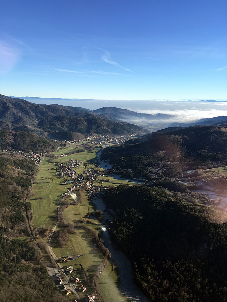
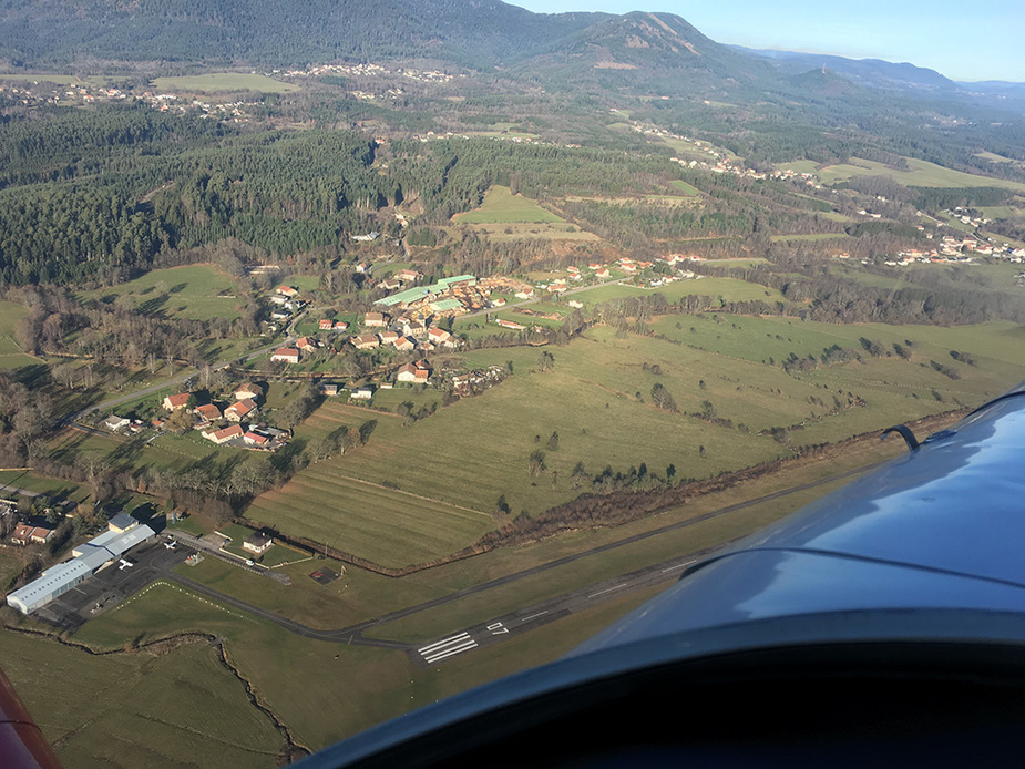
Overhead St-Dié (LFGY):
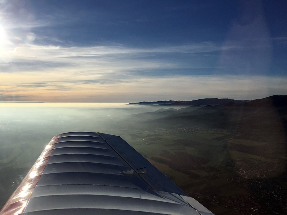
A look to the south-west on the way back:
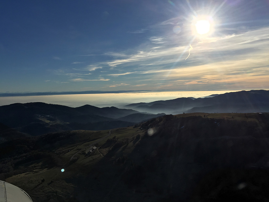
The southern slope of the Vosges disappearing in the mist and fog:
Lovely pics Rwy20! Thanks for sharing!
That is my kind of flying, and the best (for me, natch). The photos are absolutely gorgeous 
nice , thanks
great fotos
Nice pics.
Not to criticize, but: weather sources did you use for your weather briefing? IME, in the winter, in the flatlands, if going to a place without a METAR station, it is indispensable to call someome at the destination airfield to check if they are in the clear. Some airfields now have online webcams.
So where did you end up landing then? Back to base?
Beautiful photos. Thanks for posting
Nice. What airplane is it?
boscomantico wrote:
Not to criticize, but: weather sources did you use for your weather briefing? IME, in the winter, in the flatlands, if going to a place without a METAR station, it is indispensable to call someome at the destination airfield to check if they are in the clear. Some airfields now have online webcams.So where did you end up landing then? Back to base?
Weather briefing was with Topmeteo (which forecast no cloud and perfect VFR for the whole region), METARs and TAFs. For local flights, it is more a matter of “get in the air and see what it’s like”, whereas for going places the weather briefing will be more “serious”. After all, it’s a good thing we still went flying that way. Though we might have brought along sandwiches if the webcam had worked (it currently doesn’t).
Actually the weather was really great to the north, west and east of Belfort. The bad weather is always at that spot, coming out of (or coming back to) the Alsace plain. I remember many “interesting” passages through there already.
We landed at St-Dié, then back to base, then drove to the next open restaurant.
The plane is a Jodel D140 Mousquetaire.
Nice photo’s!