As someone who is struggling to get to grips with modern flight planning software due to what appears to be a lack of simple user guides. I know most of you on this forum don’t need such things, but I still need to find a 4 year old to set up my first smartphone. So, as I say ,in my searches to find the idiots guide to autorouter and SkyDemon I came across a planning software called AIRMATE. I was drawn to it by its User manual, and on the surface it seems very like Skydemon but it is free in basic form. I have looked at it but haven’t used it, so before I do I thought I would try to solicit advice here about its pros and cons as I am in no position to compare it to the others.
It is an interesting product. IOS version shows in-app purchases

suggesting it is basically a French product.
The Android version doesn’t list these so I guess they are the same. I wonder if they support other AirMillion charts?
It would appear their business model is via the sale of the raster charts on which they make a margin. This is important; all free products (that require updates) eventually die.
It looks like they just run the raster charts listed, so they have not gone into the large amount of work involved in producing the vector charts which all the other moving map aviation apps use. That keeps the cost way down and sidesteps the need to constantly update the airspace… well to the extent that raster charts do go out of date during the year of their publication, but most traditional pilots have always accepted that as a small risk.
OTOH they say there is some sort of free map database, which presumably must be vector. I will take a look.
A simple moving map program is a really good thing.
I installed Airmate and it turns out to be a pretty complete app with regards to mapdata. For example:
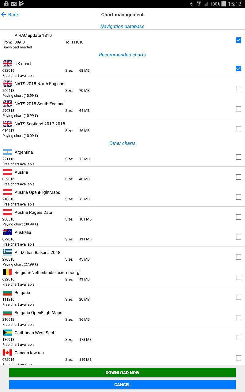
The main chart is a vector based OpenStreetMap free raster chart, and you can purchase national raster charts.
I emailed the developer and he responded in detail right away. It turns out he knows me; he has a TB21  Their model is to make money from adverts on social media related functionality, not much in the app itself.
They get the vector data from the eAIP, which was not possible until a few years ago. That is a huge change for flight planning apps. Ironically this was possible pre-2005 from DAFIF but that got shut by the European CAAs.
It also saves track logs, in GPX format. And you can plan routes on it.
The IOS version has more functionality e.g. terrain profiles and IFR (IFR waypoints too it seems) although they plan to have these in the android one by xmas. I also see tafs/metars but no notams.
It doesn’t have the functionality (I would say “complexity”) of the main market players, but their products confuse a lot of people, myself especially. I have not yet flown with an SD user who understood that highly complex app properly (or at all in some cases) so a simpler app like this is very interesting.
Interesting, I’ll check it out right away.
Peter thanks for taking the time to look at it and give your thoughts. I have now downloaded the app and the user manual, it’s quite long but that could be a good thing in my case. I also received an e-mail with the Notam of my local airfield.
It would still be nice to know if anybody has actually been using it for any length of time, or do you think I stumbled across something new? Also good to know they reacted rapidly and straightforwardly to your questions.
Peter wrote:
I have not yet flown with an SD user who understood that highly complex app properly
Surely with something as simple to use and yet as comprehensive as SD (or any app) you keep adding to your knowledge of the functionality available as it is needed. There does not seem to be a need, with the SD product, to know all the functionality in detail for it to be of use. I think that is a good thing.
People get confused by all sorts of things in the feature-packed SD but especially the declutter options – see e.g. here. And this is not uncommon based on what I have seen myself. Another example here.
You just don’t get people posting on forums that such and such an app has “too many options” because they feel it will make them look thick – in the GA online community where “IT types” are prevalent. Personally, I have no difficulty writing something which makes me look thick if I think it is useful to somebody Also, on the UK scene, anyone posting anything negative about SD, on any social media, gets beaten up.
So I think there is a market for a much simpler moving map product, and what I think is simple business logic means it must use the published raster charts, which you buy for the area you need. The vast majority of PPLs never fly outside their 1 country anyway and with Airmate that will keep the cost down to (of the order of) 20 quid a year, while providing a chart presentation which is immediately familiar. Personally, I have been flying with raster charts since I got the PPL in 2001 and continue to do so, having never bought any of the ~€100/year nav products (I find them too complicated, anyway, and generally poor at showing airspace labels).
There are various details which need fixing e.g. no battery status display (on the android version at least).
Peter wrote:
this was possible pre-2005 from DAFIF but that got shut by the European CAAs.
Airservices Australia was the culprit.
So, anyone except me still using Airmate? ;-)
How can one tell if an AIP plate is georeferenced? If it is not, is there a way to georeference it yourself? Avare makes it so simple over there…