
Is the concept of "flight into known icing" versus some specific weather service enforced in Germany?
It would be mad to do that, because a pilot can legally brief from so many weather sources.
When the FAA tried that approach, briefly, some years ago, they stopped it pretty fast because it didn't make any sense.
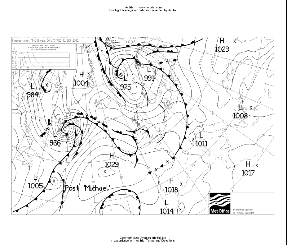
In the UK we have the infamous Form 215, which every PPL is taught to worship, and which forecasts icing conditions in all IMC regardless of temperature.
Speaking of reality, I cannot see how icing (i.e. supercooled water droplets) can be forecast. Maybe they can be, but by far the worst icing incident I ever had was in a very innocent looking stratus layer, 1500ft base, 4000ft tops. 30mm of ice in 5-10mins.
Icing (or the lack of it when it "should" be happening) is so random that I cannot see any "icing" forecast having any meaning for flight planning purposes - unless you make it totally banal and forecast icing everywhere there are fronts, with a disclaimer that it could also be everywhere else, which would be probably about right 
GRAMET contains a model for icing.
The German Weather Service (DWD) ADVICE model is rubbish in my experience. It forecasts icing always and everywhere, a perfect example of the CYA (cover your ...) policy. Make sure there can never be icing where it was not forecast because you can get in trouble for not forecasting it but you won't for forecasting icing which is not going to be there. Makes the actual charts useless for flight planning.
Very sorry to see this site go, it was one of the best for Europe.
Icing forecast, there is nothing free, but there is Advice, which is a part of the German weather service site flugwetter.de. It costs money but the site per se is one of the best for European weather.
From e.g. here:
Effective 29 March 2013, the 21st Operational Weather Squadron Public Access Website will be taken down permanently. We apologize for any inconvenience. For up to date weather forecast information from the 21st Operational Weather Squadron, tune in to AFN Radio and AFN Television.
It's been an interesting site. AFAIK everything on it (unless clearly otherwise labelled) came from the US GFS model, but they (or somebody) used to hand-draw in the fronts etc.
They used to have icing charts, which looked good but the hazard areas seemed to just coincide with obvious spots on the MSLP charts. I have never seen any meaningful forecast of specifically icing conditions.
Does nt Jepp give long term?
I used to be a great fan and 'power user' of the Sembach site and its precursors, but have recently used mainly these two: http://www.ogimet.com/home.phtml.en http://www.eurometeo.com/english/maps
That said, sad to see the USAF site go! Anyone know why?
The Weathercharts site is useful but it has the same problem as others (example) in that it often shows two charts for the same day (one being an older forecast) so you have to browse the images with care.
I think basically what we are missing are MSLP charts, showing fronts, produced more than 5 days ahead. The UKMO doesn't offer them (not for free, anyway) so they would have to come from GFS.
It's a terrible pitty. It appears to be totally gone now.
It was a site that I really liked too. I especially liked the way that you could loop through the different charts to see how the weather was forecast to change over time.
A few months ago they stopped doing the forecast out to 120 hours, and it because 24 hours (from memory) so lost a lot of it's usefulness to me.
Since then I'm using this one It doesn't have the colous that OWS did, but it does have forecasts out to 144 hours (6 days). Obviously things that far out are not so reliable, but you can usually get a good idea if there is a reasonable chance of VFR at the weekend or no chance ;)
TopMeteo which Commander recommends has excellent data.
We use it in PocketFMS (and EasyVFR ) where we put a detailed hour by hour forecasts on the map for up to 72 hours ahead. It has received constant praise from the users for its accuracy. (If you want a complimentary copy come along to the EuroGA fly in ;) ) They guys at Top Meteo are really good at what they do.
I also find this site useful for long range movement of pressure systems.
Colm
I think it depends on what kind of flying you do.
At the top end (jets) you basically need just surface conditions, and the prob of CBs. And of course handy stuff like where the jet stream will be. With full de-ice and radar, you don't care about whether you will be in IMC at FL100 in -5C because a) you have the ice protection gear and b) you can climb at say +5000fpm and since the freezing layer is going to be (usually) at most 8000ft thick, it's only a temporary issue anyway. And ATC will give you absolute top priority so you get the climb to FL200 or whatever quickly, soon followed by a climb to cruise level. Most of the forecasts we see are geared for the jet crowd which is why e.g. the SigWx form has been dumbed down to not show fronts, and not indicate any vertical extents of IMC if CBs are forecast.
At the bottom end (VFR flying, and I mean legit VFR i.e. no IMC) you need surface conditions and cloudbases. Heavy rain will reduce vis, snow even more, but basically so long as you stay VMC and don't hit anything on the ground, you will be OK. That's assuming you navigate with GPS; if you navigate with map+compass then the vis needs to be a lot better. There is no forecast I know of for cloudbases that's reliable, beyond the long TAFs. There is a variety of GFS (the US weather model) sites which can generate a long range (few days) forecast, and the best current one is GRAMET. I describe it at the very end of here. How accurate the forecast will be will depend on the sort of wx being forecast; a lot of wx (esp. convective bits moving around in all directions) cannot be forecast meaningfully even a day ahead. The MSLP charts are always good to look at and will give an idea whether the conditions will be crap (frontal wx, or troughs), or possibly OK (elsewhere), but unless you are a wx specialist they won't indicate cloudbases in the "potentially OK" bits. A high pressure in the summer is likely to be CAVOK, but in the winter it could be OVC006 with a 1000ft thick layer and CAVOK+100nm vis above...
In between the two (instrument capable pilots but not a lot of ice protection) it's always been a tricky area. I think GRAMET looks like the best presentation for this, currently. The methods I use are described in that article which mentions the GRAMET.
As regards the Sembach site, I have looked at it many times over the years but never found it especially useful. It has icing charts but they never bore much relation to reality - apart from depicting spots which were dead obvious "nasty wx" on a quick look at the MSLP. The data came from GFS anyway.


