
By EuroGA user dublinpilot, June 2015
Last Sunday, I did a trip that I do most years, the west coast of Scotland. It’s incredibly scenic, and I never tire of it.
As an antidote to all the IFR trip reports here, and in line with those asking for more VFR content, this is a VFR trip report (I don’t hold an IR). In deed, as much of it was necessarily low level (to avoid weather and still see the scenery), it could not have been done under IFR. On this day, for this trip, VFR was the correct tool for the job.
The trip was done in our club Piper Arrow II.
Some of the photos here have been darkened a little with photo editing software. My photography skills aren’t great. That combined with low level solo flight in at times poor weather didn’t give me a lot of time to adjust camera settings, and as a result some of the photos were over exposed. No editing beyond darkening and cropping has been done to any of the photos. Many were taken with a zoom lens.
The first leg was from my home base, EIWT Weston, near to Dublin to EGEO Oban in Scotland.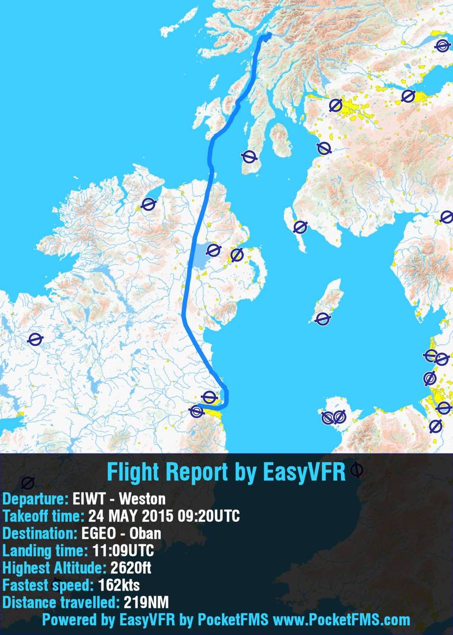
The weather for this leg, like all the others wasn’t great, but doable. Most of it was flown at 2000-2500ft, just under the cloud base.
My planned route was to head directly north from Weston. For some reason that I don’t know, the tower at Weston arranged with Dublin ATC, that my flight would cross the Dublin CTR to the east, over the city. I was about to advise of my planned route, then I thought “What the heck? That makes for a pretty flight, he’s already done the negotiating for me and doesn’t take me far out of my way! Why turn it down?” So across the city it was.
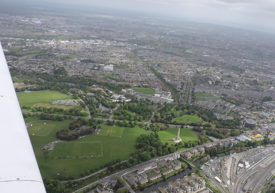
The Phoenix Park, in Dublin City.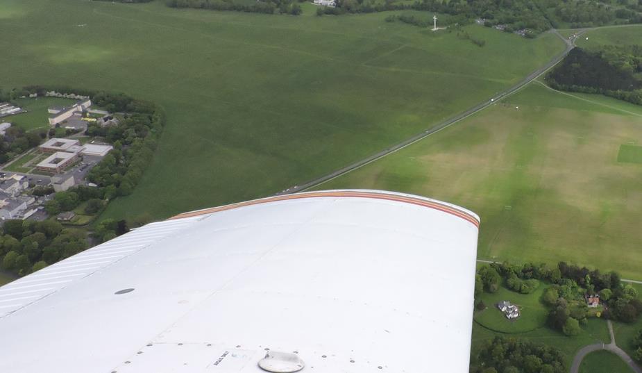
Dublin Port, with a visiting cruise liner.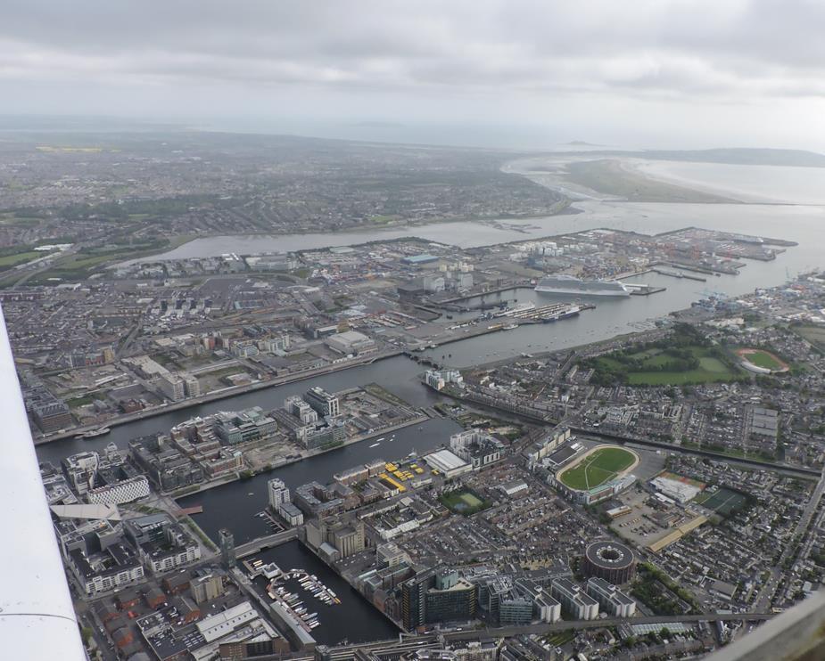
Once in the bay, I was given the “Lambay transit route”. This is basically a “not above 500ft” clearance under the ILS into Dublin, from the centre of Dublin bay, travelling north. I didn’t mind the not above 500ft part, as I was already wearing a life jacket, had my life raft beside me, and S&R is based at Dublin airport anyway. It would be the safest water crossing that I’d make all day.
Howth Head….where the rich people live!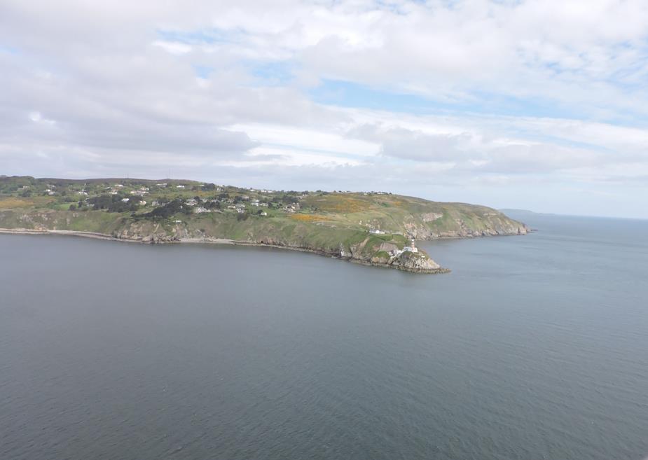
Lambay Island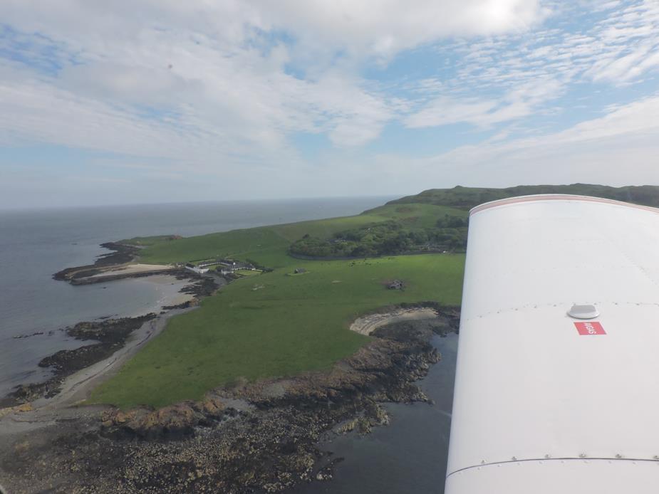
Gormanstown airport. A disused military field. 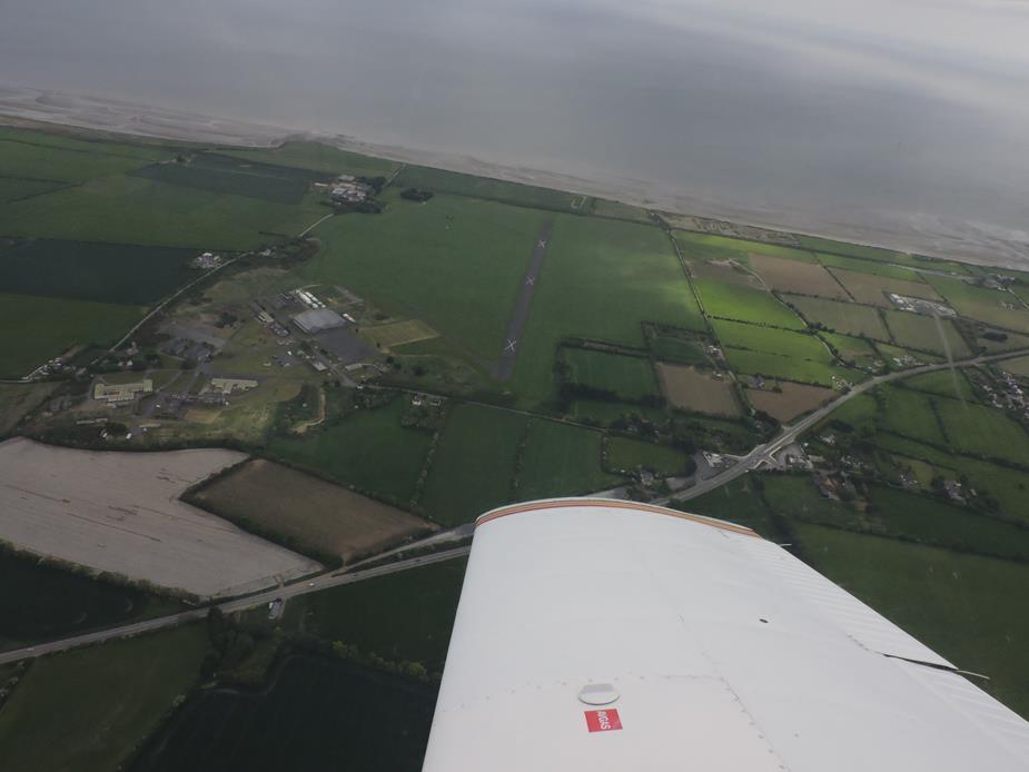
Lough Neagh, the largest lake on the island of Ireland. There is something about the geography of the area of Northern Ireland, which always has the north covered in low cloud and low visibility. All too often I’ve had to cancel trips to Scotland because while the weather in the rest of Ireland and in Scotland was fine, but this area was socked in. It’s cleared up nicely by Lough Neagh, so I could take photos again.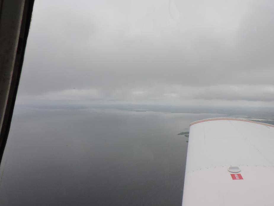
Rathlin Island, just off the Northern Ireland coast.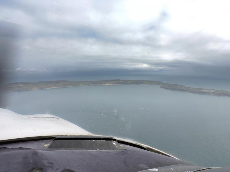
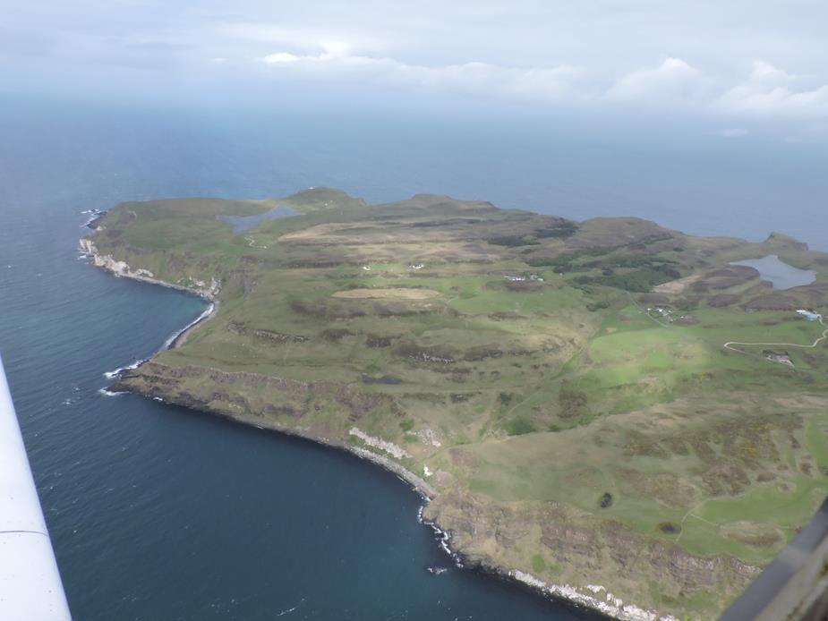
The water was calm, but the weather wasn’t. This is looking to the west, the only direction that I could really take a photo at the time. I had to keep a few miles to the west of my planned route, as to my right was a nasty downpour of rain that would effectively have put me into IMC. IMC at low level is not the place you want to be in Scotland! At this time I heard an aircraft that was heading for Oban (my destination, and he was going the same direction as me) report that they were turning back to Northern Ireland due to weather. He was probably a few miles to the east of me, and looking straight into that down pour. To me this is one the major advantages of having a good GPS system, which you are very comfortable with. It makes wandering off route for better weather and then regaining your route trivial compared to trying to do the same under dead reckoning; especially so, when the trip becomes continuous wandering to avoid weather! Having said that, a coast line and lots of island, are probably the easiest places to navigate visually. But Scotland can be unforgiving of navigation errors in poor weather. 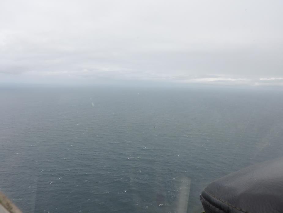
A tower, close to Port Ellen, Islay, Scotland.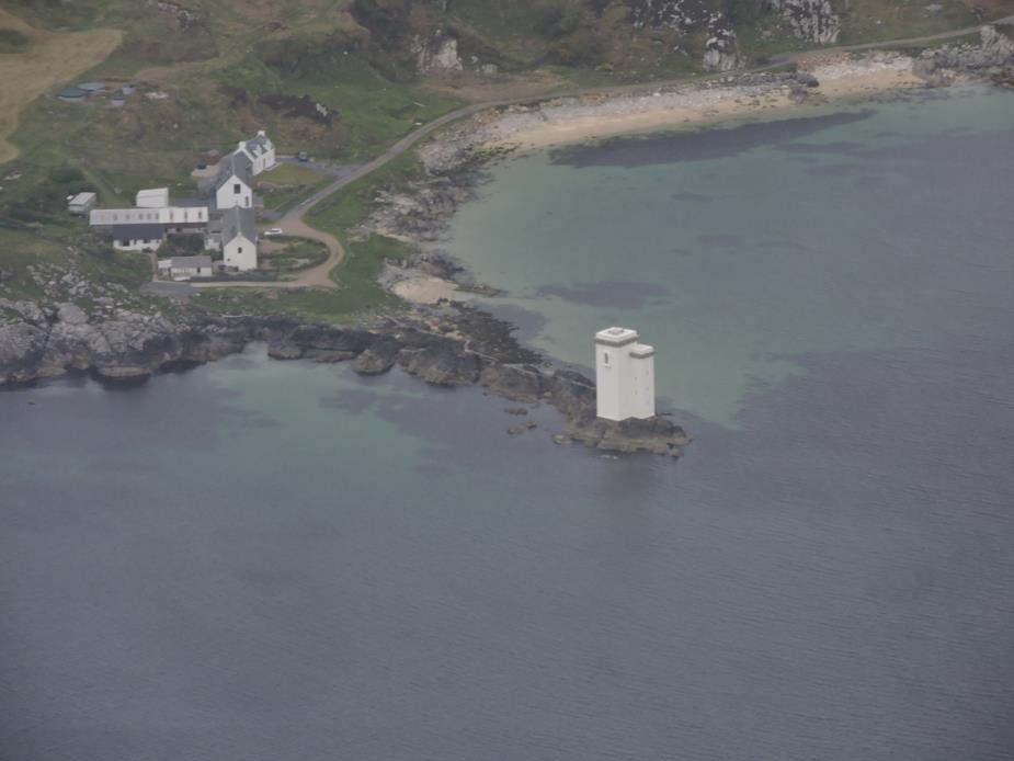
Islay Scotland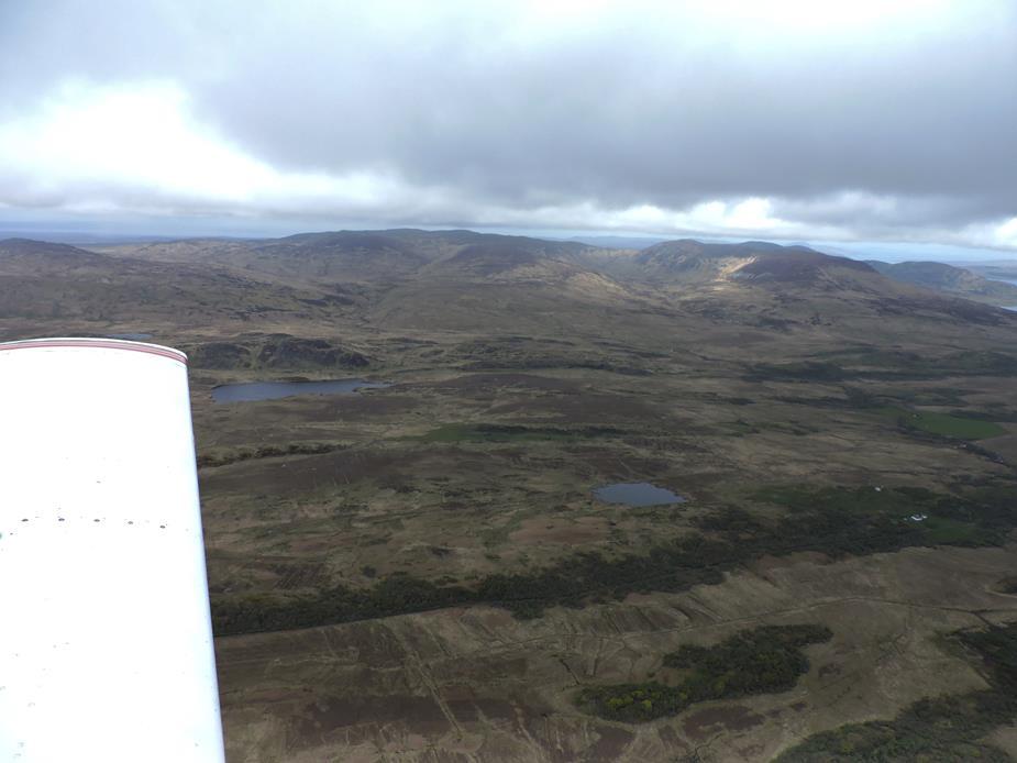
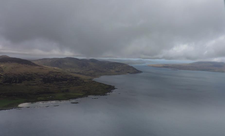
A lonely lighthouse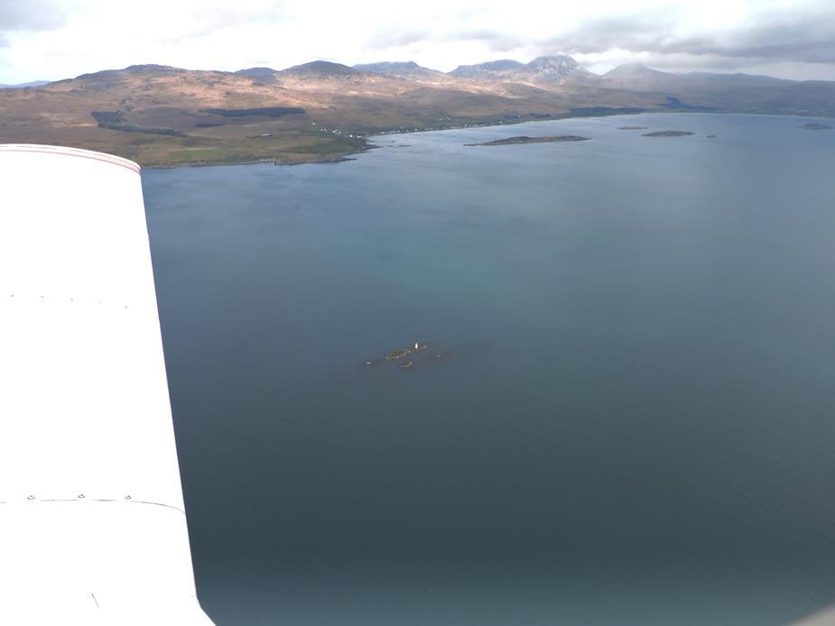
A lonely house, with a beautiful view. I wonder how long it would take before the view wore off, and you’d wish for a shop close by?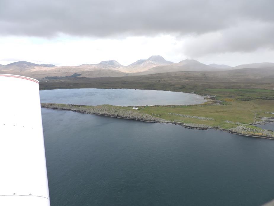
Another lonely lighthouse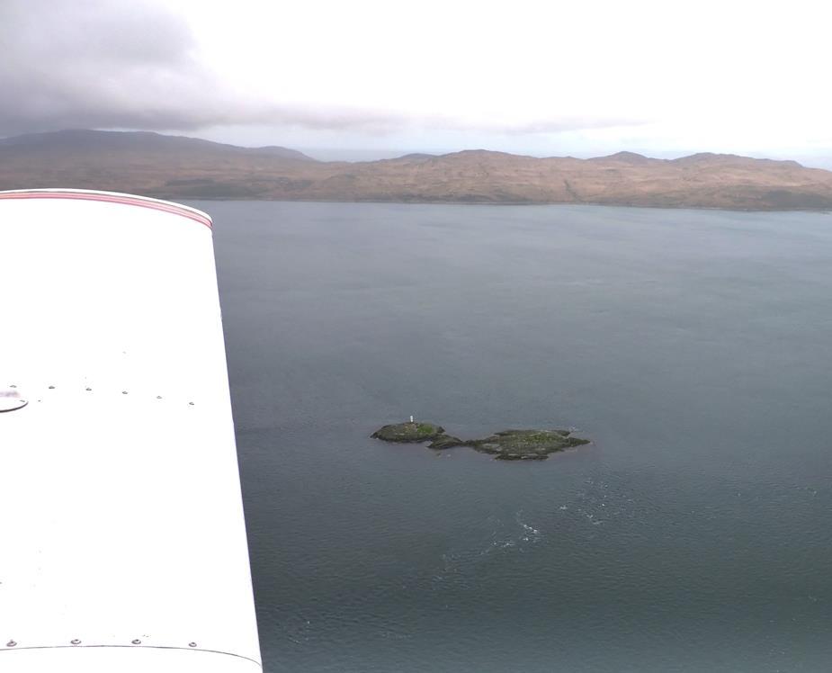
Sometimes there is blue sky in Scotland!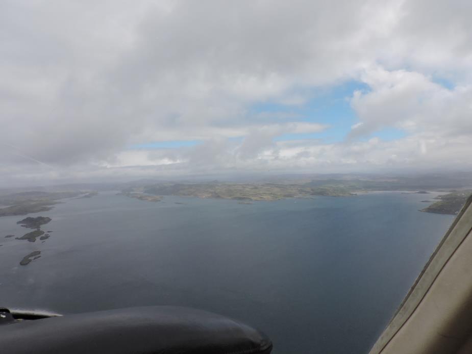
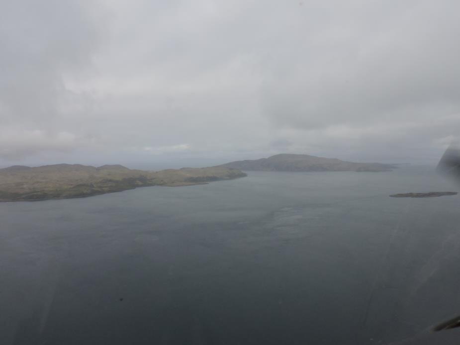
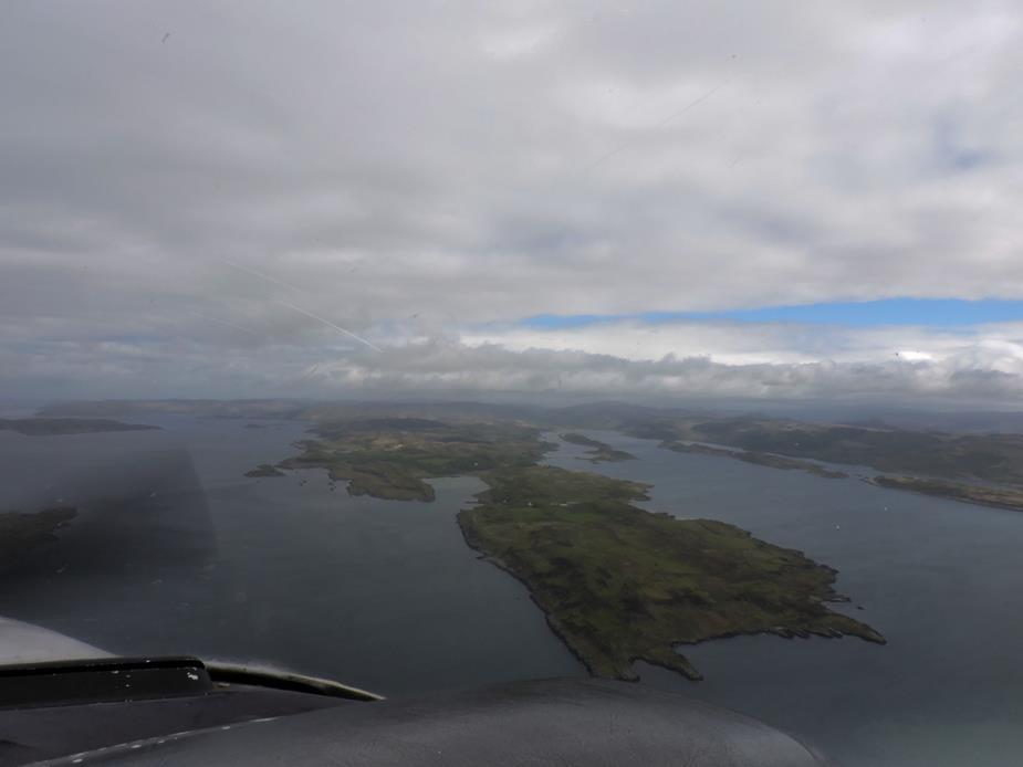
I find the mix of ocean and islands in Scotland, totally enchanting.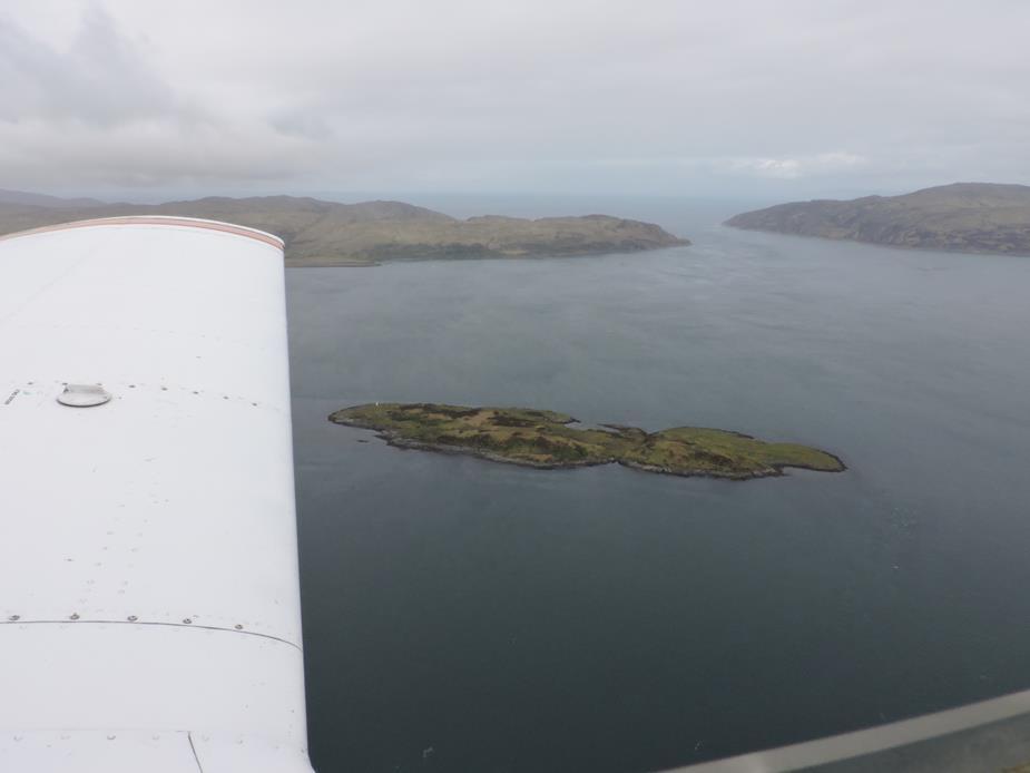
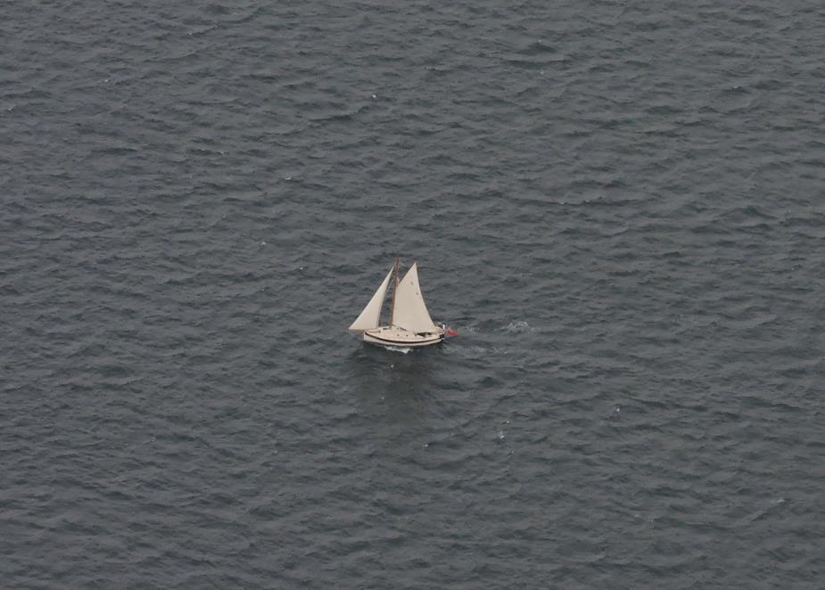
Others enjoying their hobby.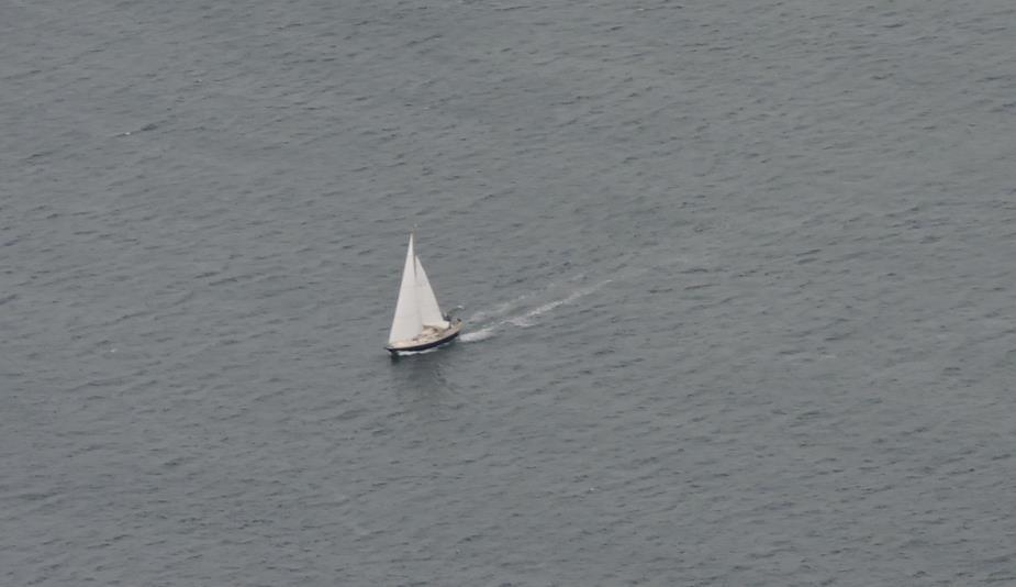
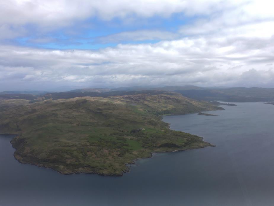
How much for an island of my own? I just need one long enough to build a runway, and a small house!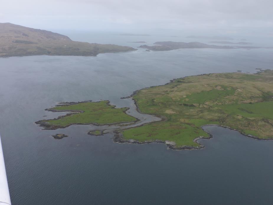
I find these houses, in places with no roads, totally fascinating. This one seems to have a track down to the water. So I suppose they come and go by boat? What a wonderfully different way of life.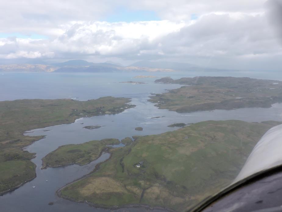
Looks like some interesting tidal movement, and some brave boats heading for it.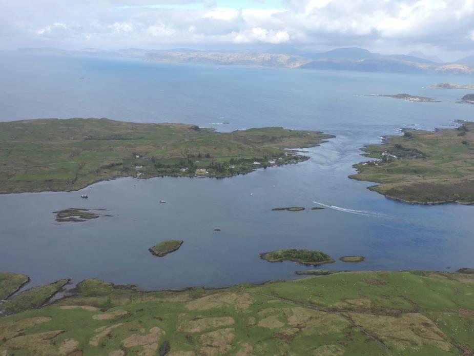
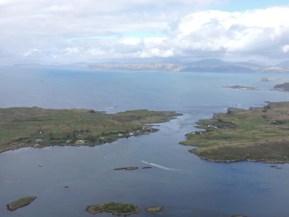
Oban town visible in the distance on the right. Just beyond it, where it just starts to show some light in the distance, is EGEO Oban airport.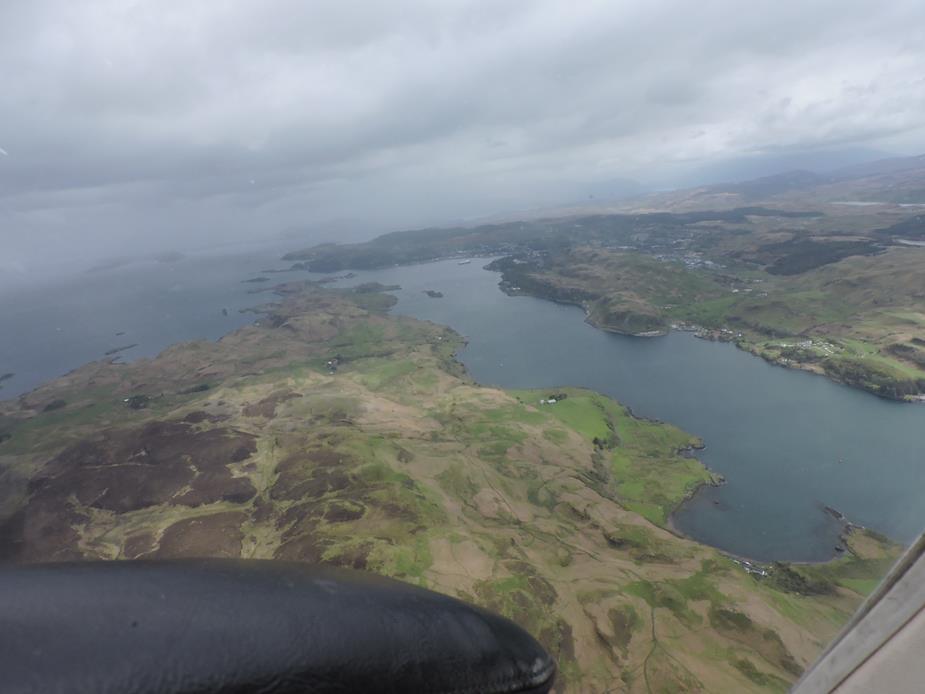
Forgive the lack of photos of the approach to EGEO Oban. The wind was 70 degrees off runway heading at 20kts, with plenty of turbulence so I needed my hands for other things at that time!
At EGEO Oban, you pay your landing fees at the main terminal, and pay for your fuel at the Fuel portacabin. In both place there was literature stands for visiting pilots. I asked at both places, if I could leave some EuroGA flyers there and both were happy for me to do so. So let’s hope for some more Scottish pilots on EuroGA in the future!
Oban was just a “splash and dash” for me. It’s the only place in this area where I could get avgas. So fuelled up, I headed on to Glenforsa. I got talking to a couple there had arrived in their R44, having stayed the night on another island, Colonsay (photos of Colonsay later), and were also heading to Glenforsa. They departed just a few minutes before me and I effectively followed them to Glenforsa.
The “hill” and caravan park at the end of the runway at EGEO Oban.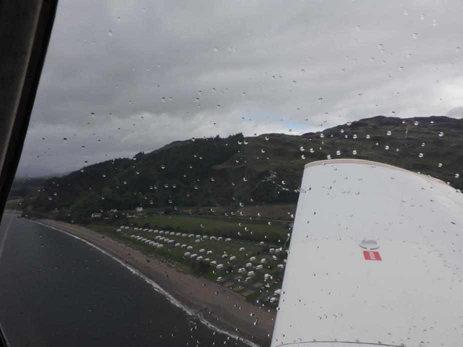
Another lonely lighthouse in the bay close to Oban 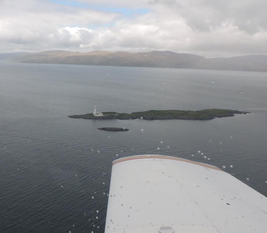
And a second one in the same bay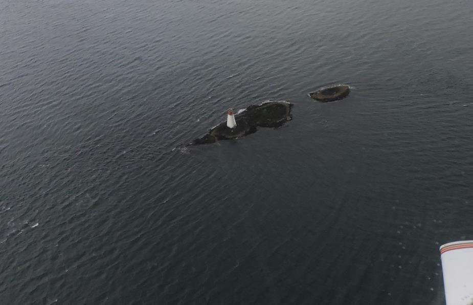
Duart Castle on the Isle of Mull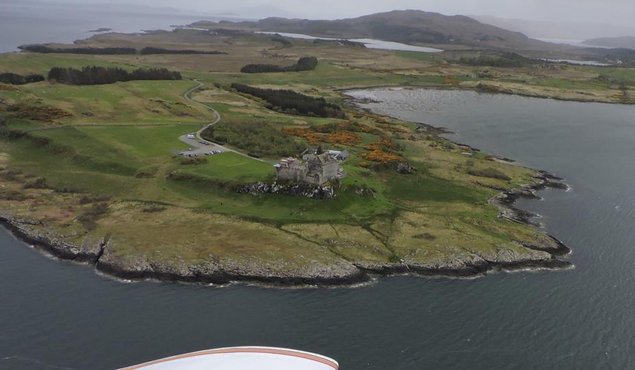
Duart Caslte — Wikipedia
Glenforsa airfield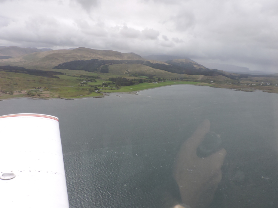
Some islands in the bay beside Glenforsa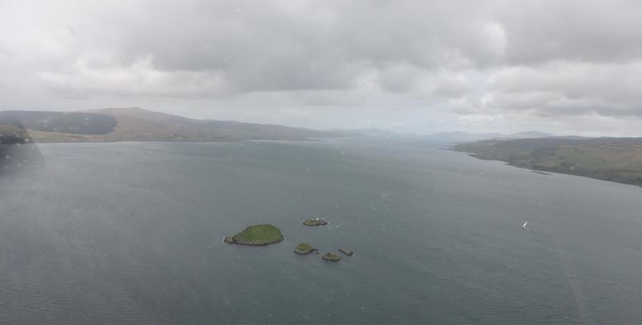
Glenforsa airfield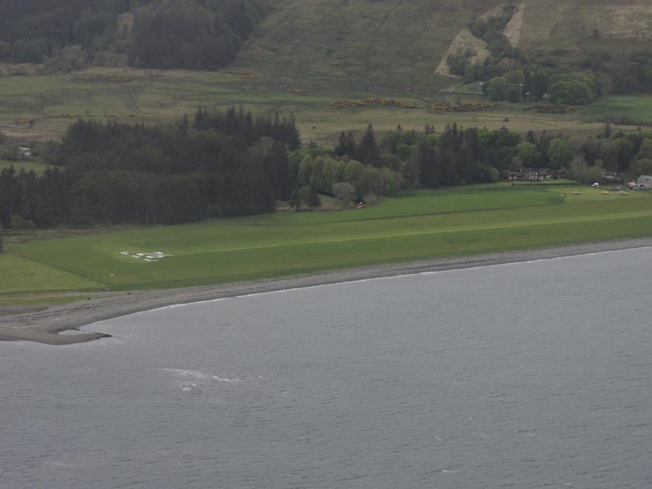
There had been a flyin on Glenforsa the day before, and most of them had left by now. There were still a few aircraft left. I had a lovely home made beef burger at the Glenforsa Hotel, which is attached to, and now runs, the airfield.
From here, I routed back past Oban airport, and low level north to Fort William, and follow the railway line that the Hogwart’s Express in Harry Potter travelled, back to the Atlantic. I would fly up to the Isle of Skye, and then back south to EGEL Coll airfield.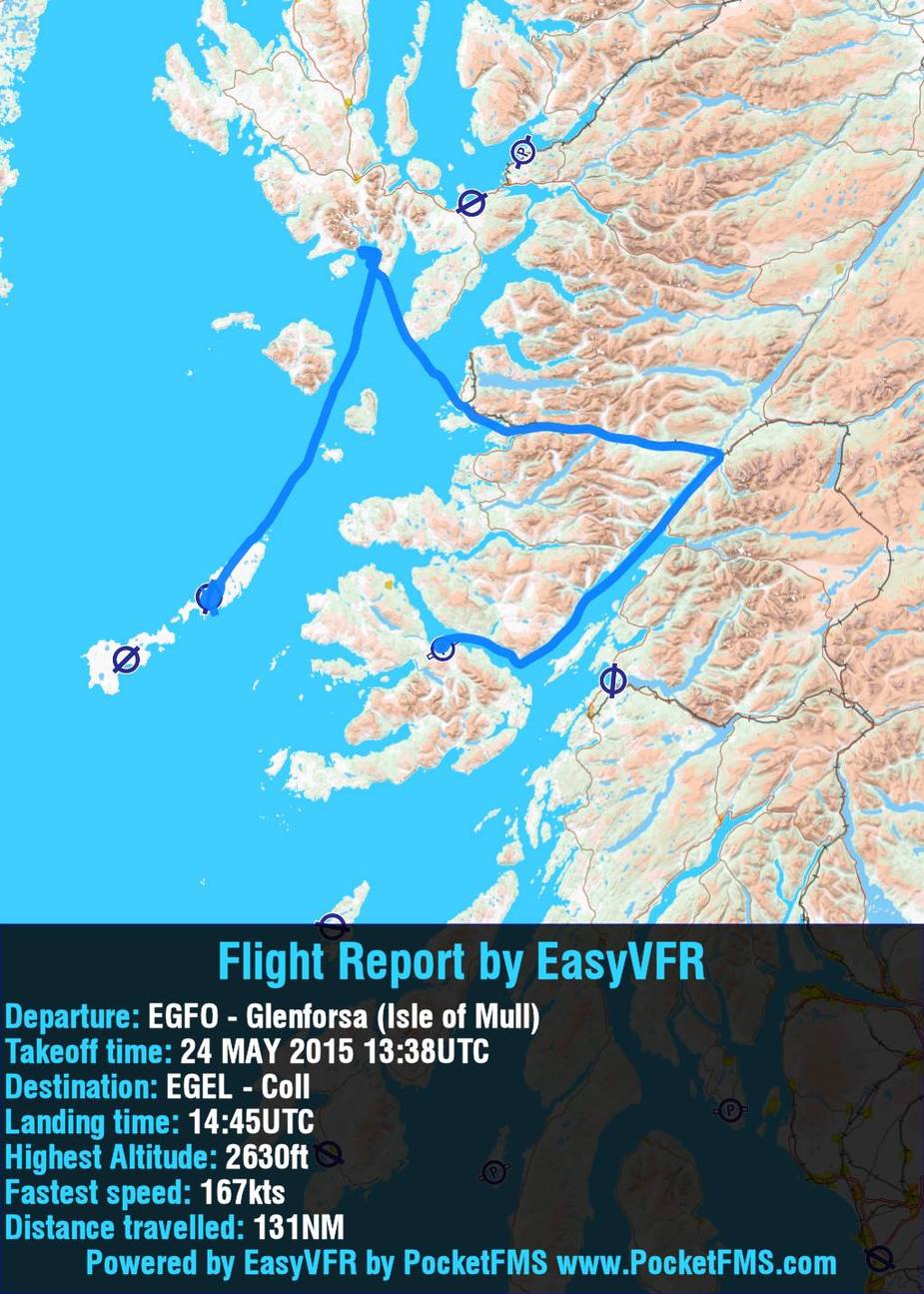
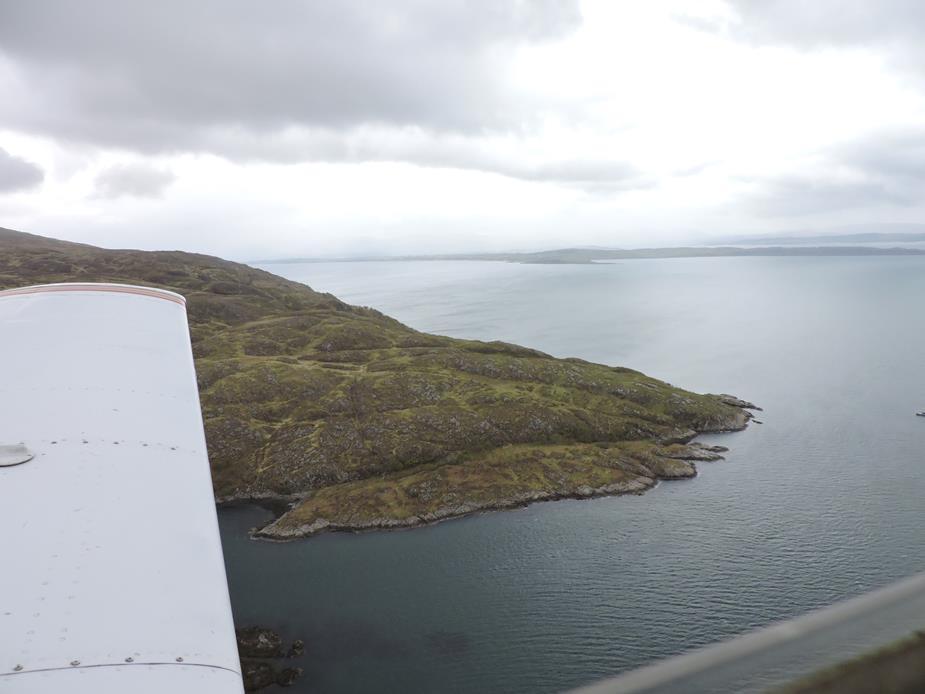
Mainland of Scotland to the north of the Isle of Mull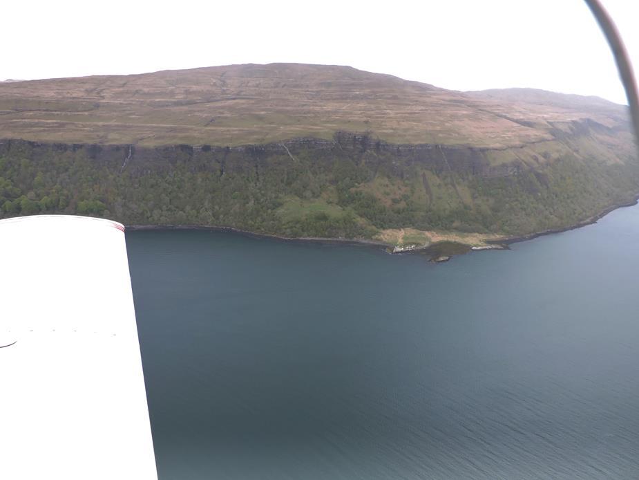
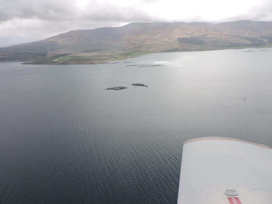
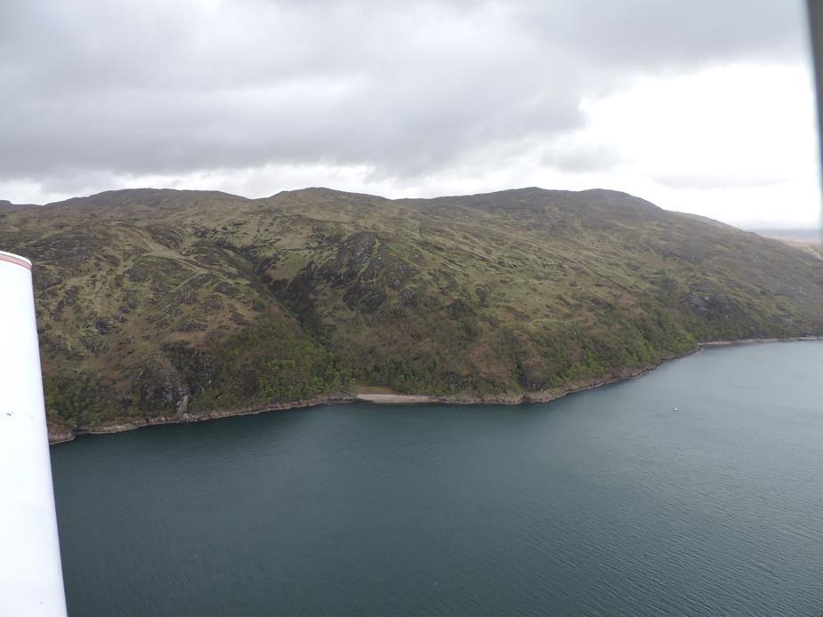
I think this house is abandoned. Again, no roads nearby, with water being the only reasonable means of access.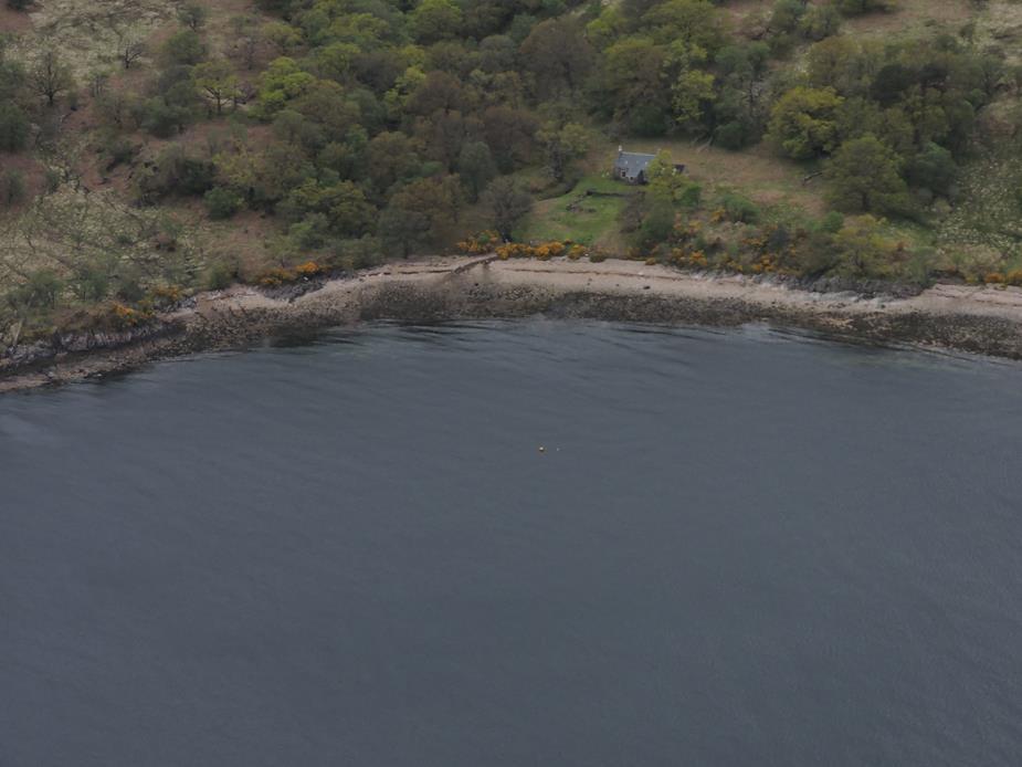
There were some showers in this area that I had to avoid. For a moment, I thought about turning around and skipping the Isle of Skye, but it cleared up again quickly enough. But the scenery is gorgeous.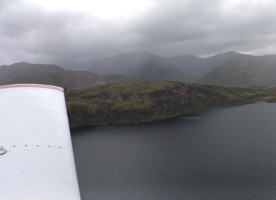
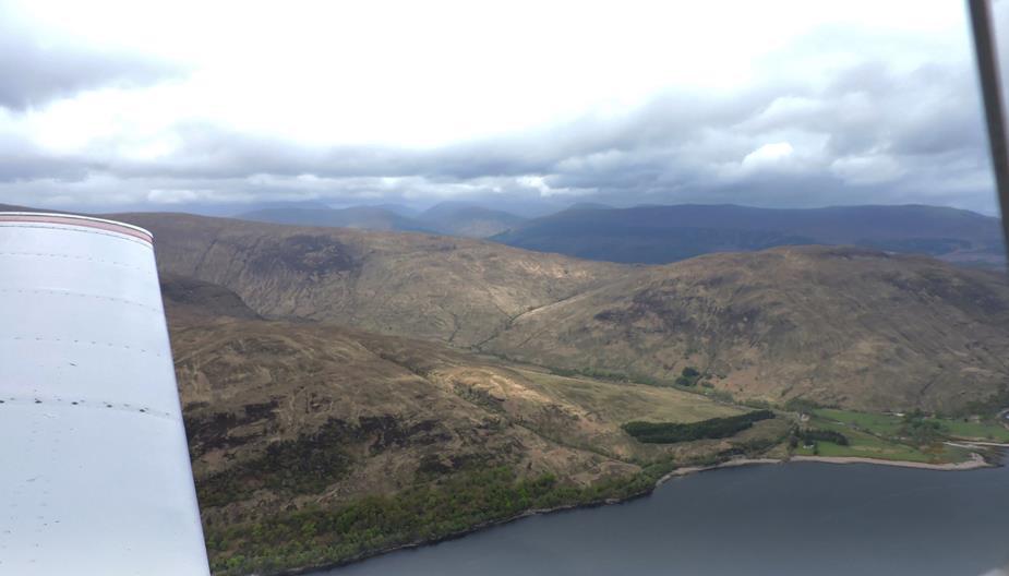
Still some final traces of snow to be found reaching down from the clouds.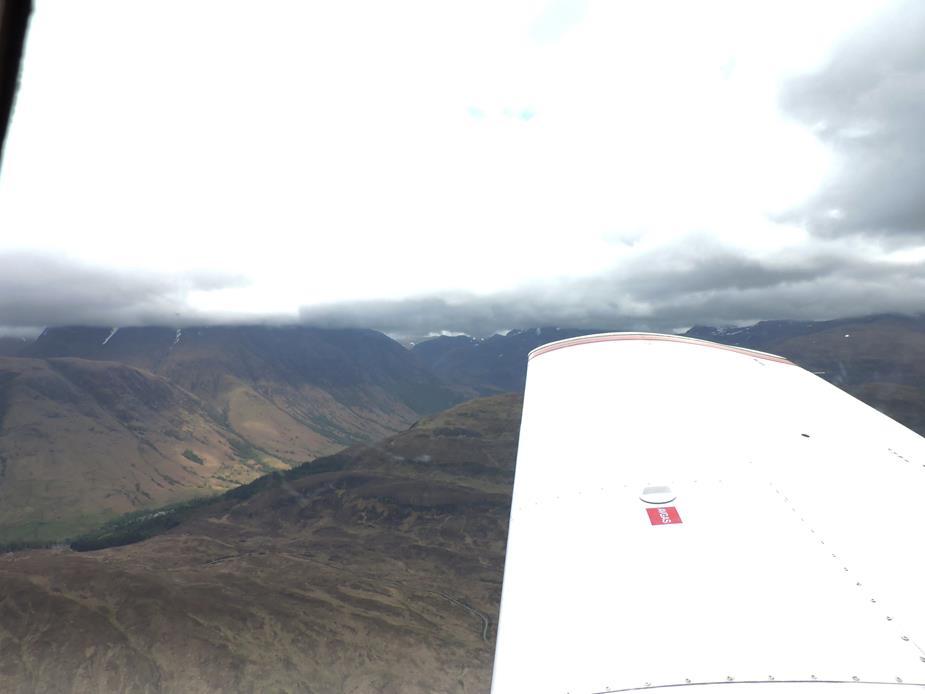
Fort William. 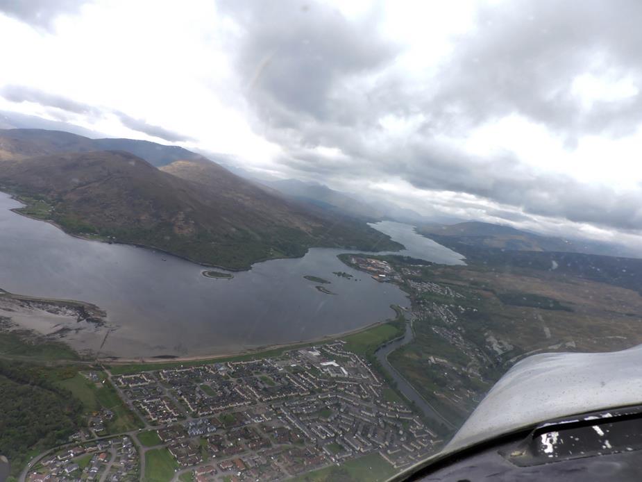
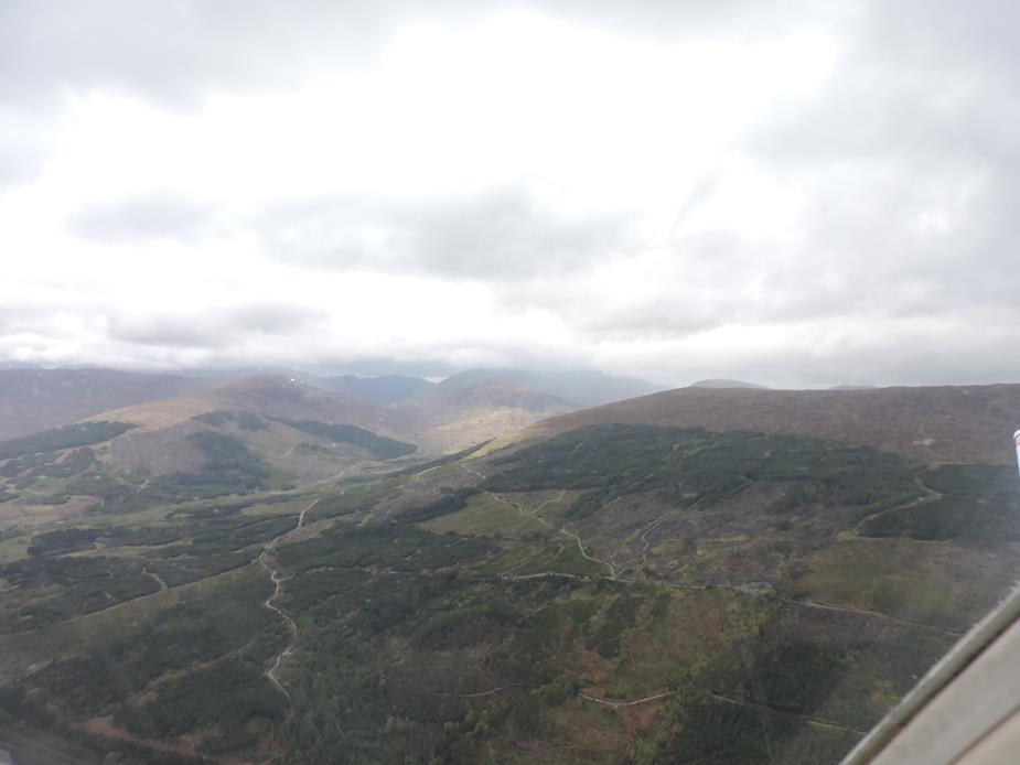
A lovely valley to the south.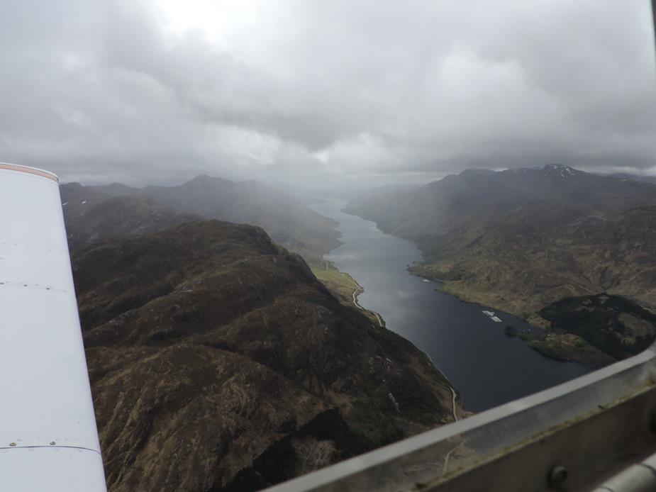
Unfortunately I didn’t have time to spot the iconic railway bridge from the Harry Potter movie. The combination of rising ground and low cloud base meant that I needed to concentrate on flying for this part.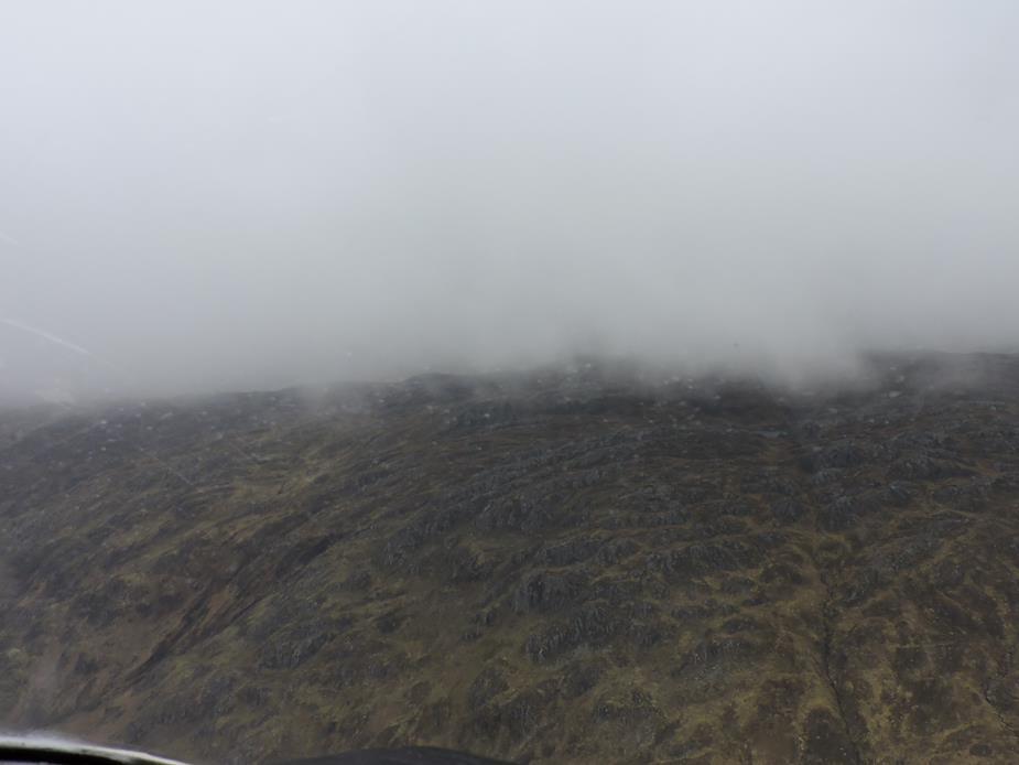
As I got back to the coast, things improved again, as well as bringing back the possibility of a descent over the water if needed.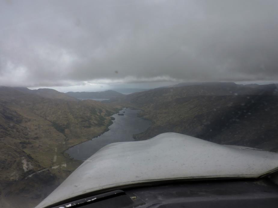
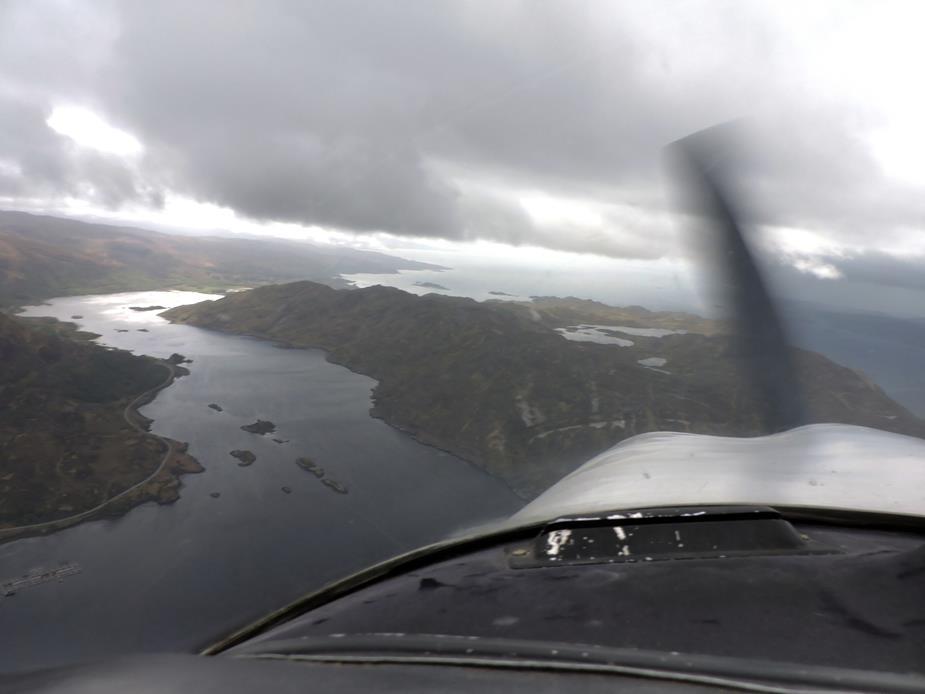
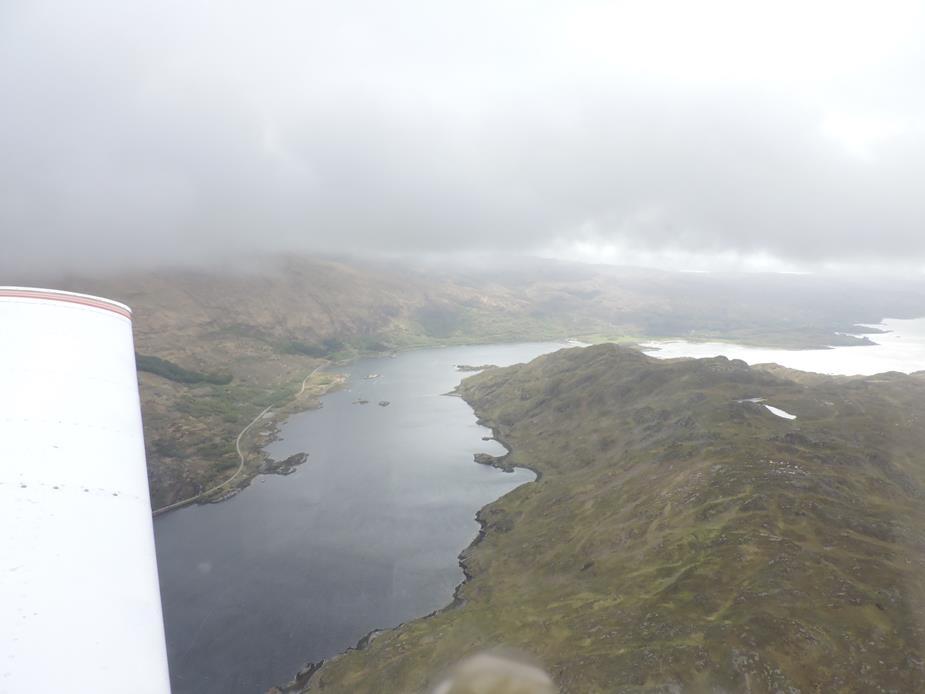
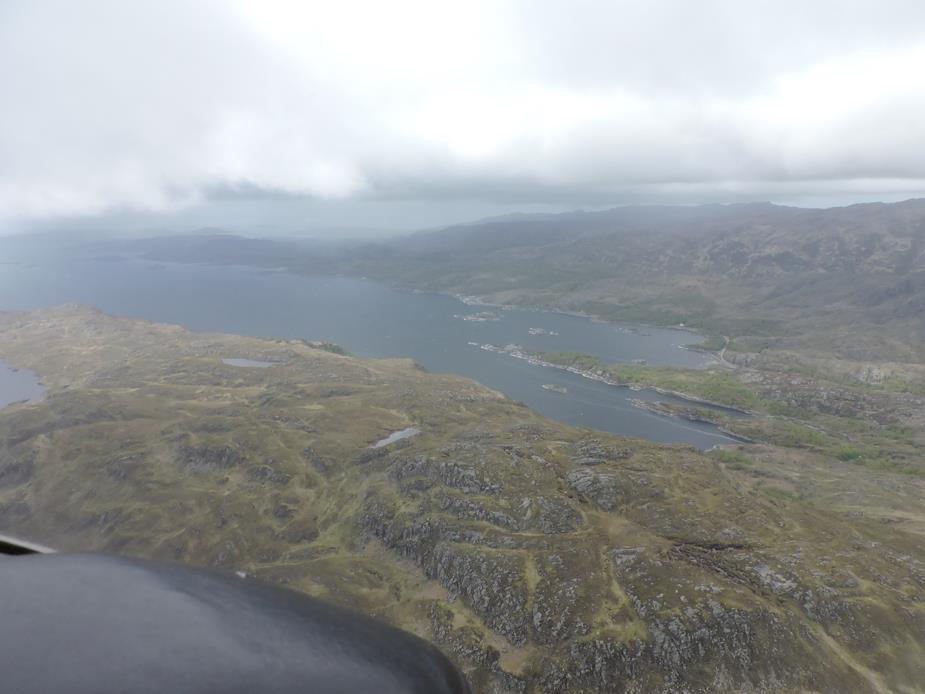
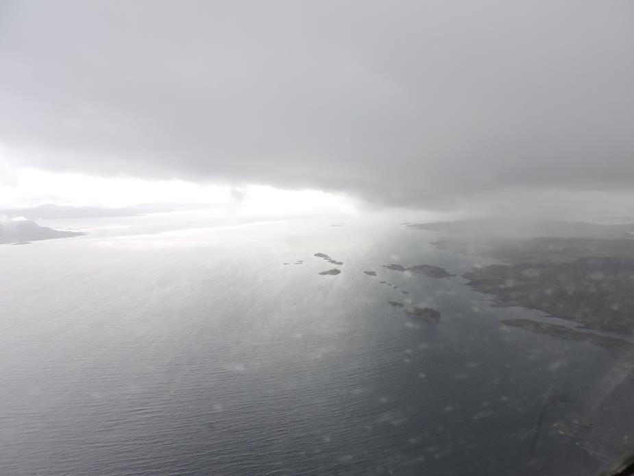
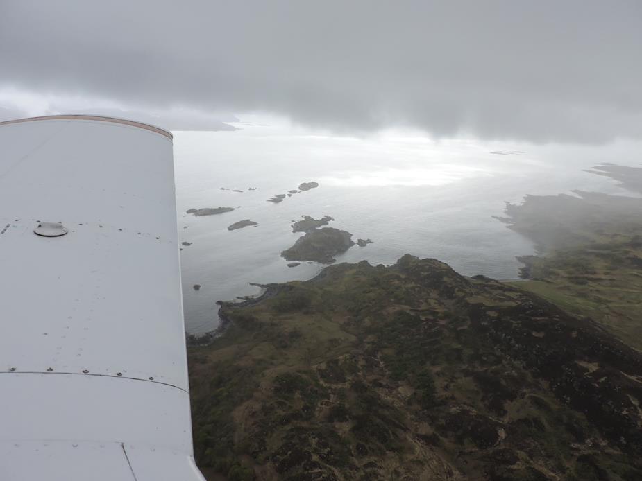
A nice collection of boats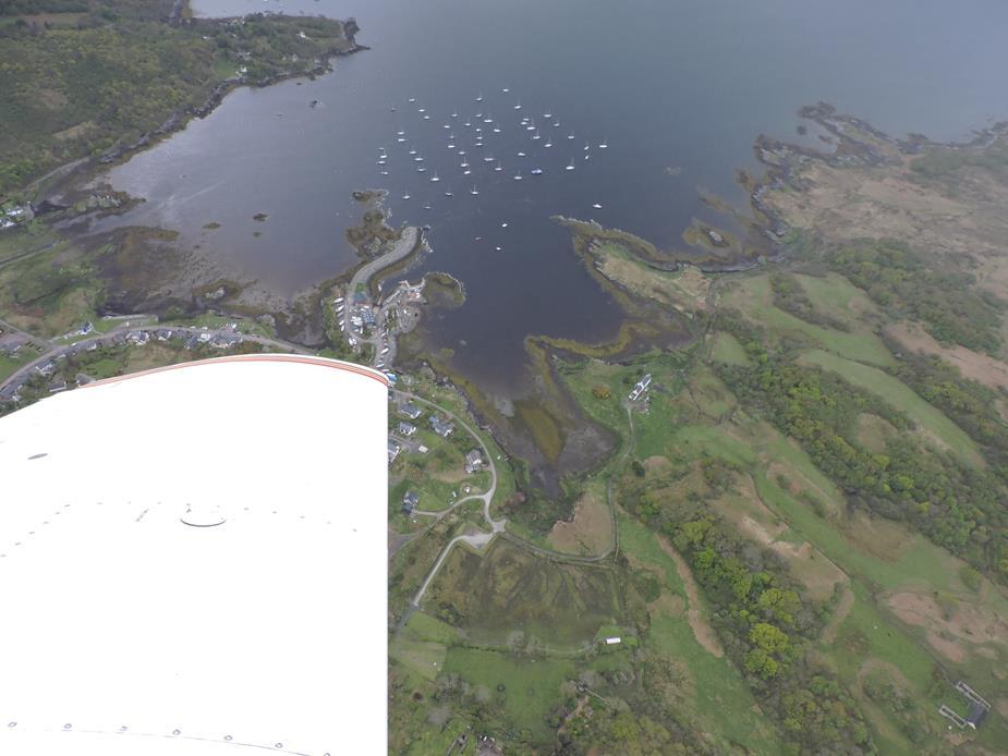
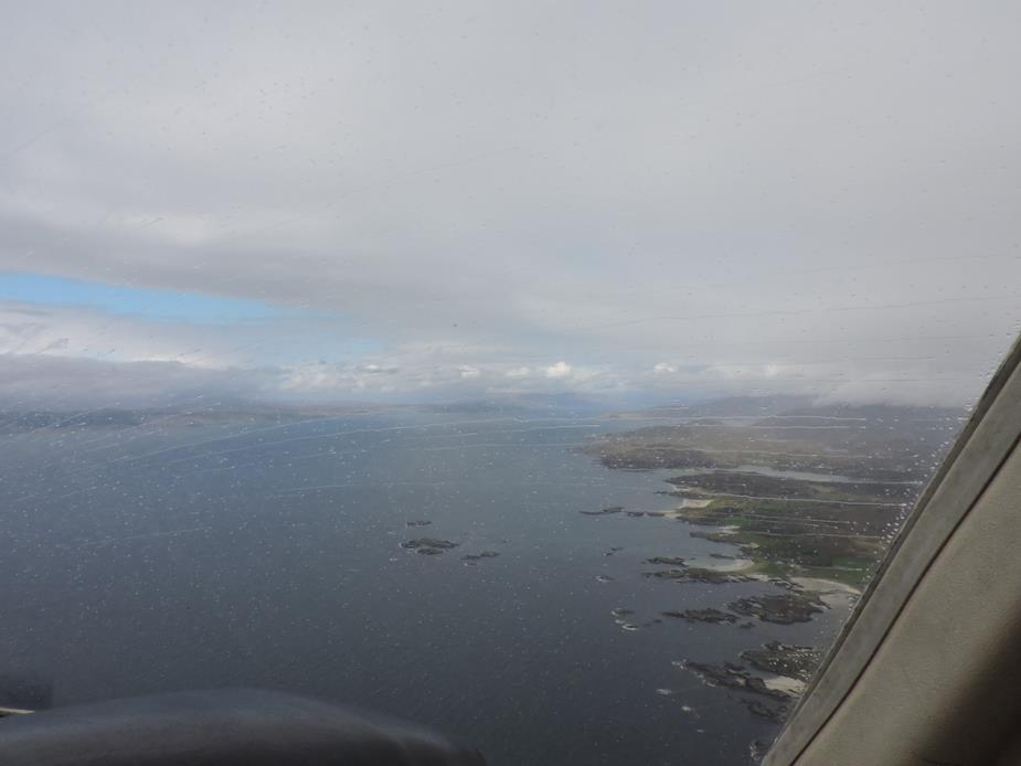
A local ferry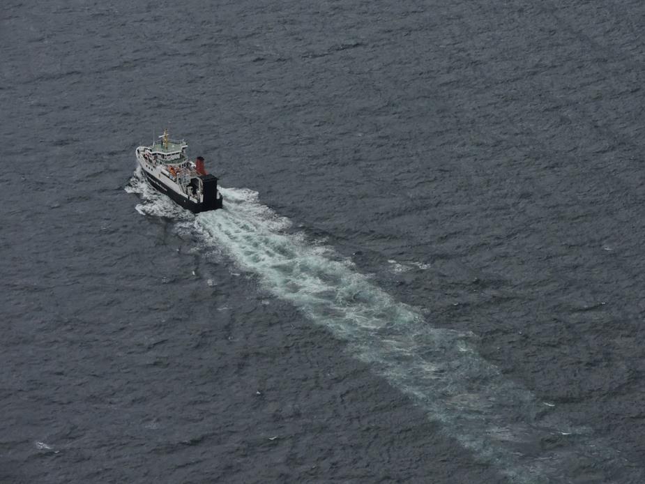
The Isle of Skye. Probably my favourite part of Scotland. The conical mountains are breath taking, though somewhat lost with the cloud cover this day. 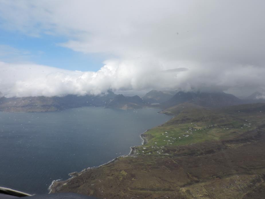
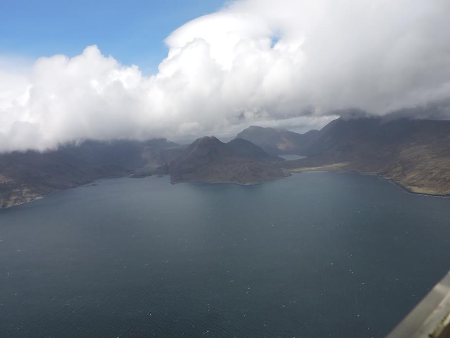
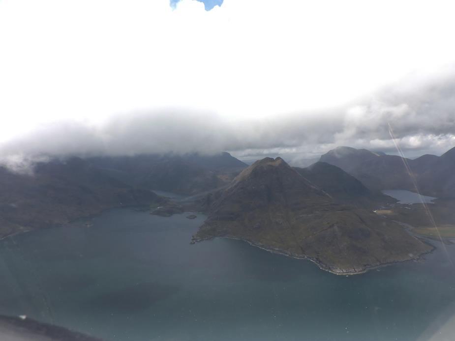
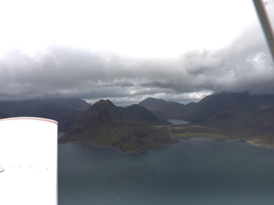
Now heading south once more, towards my next landing at the Isle of Coll. Passing the Isle of Eigg here.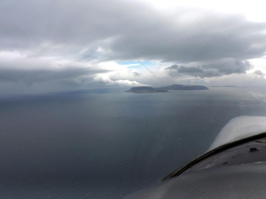
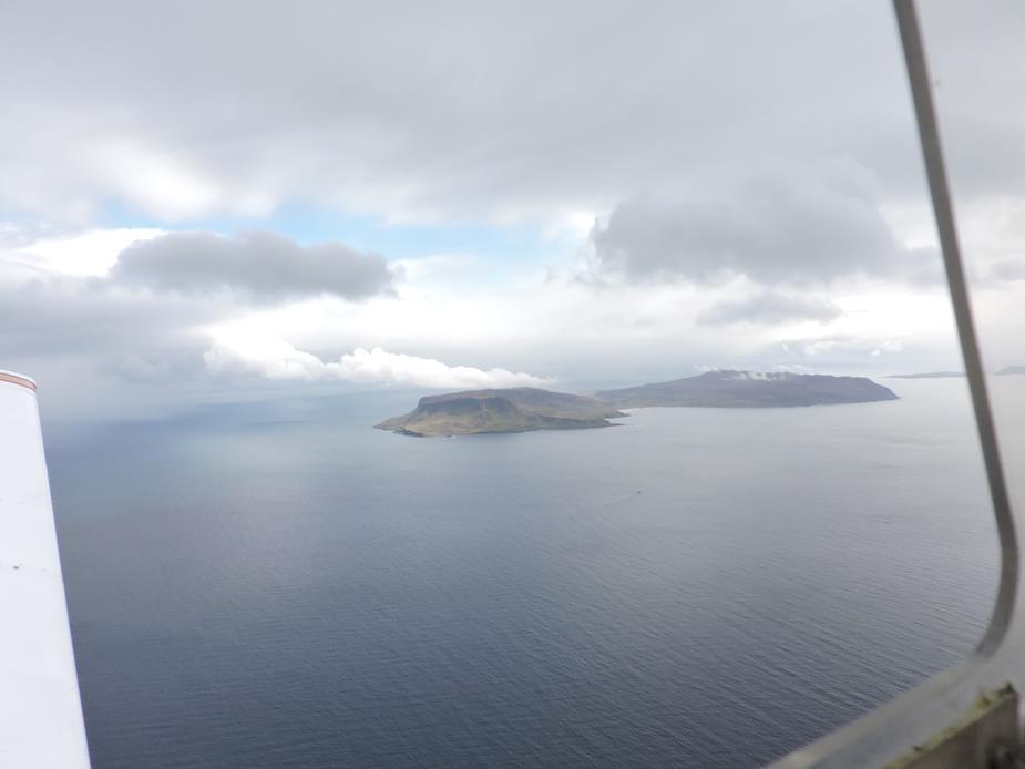
This is Rum. I wonder if pirates named it??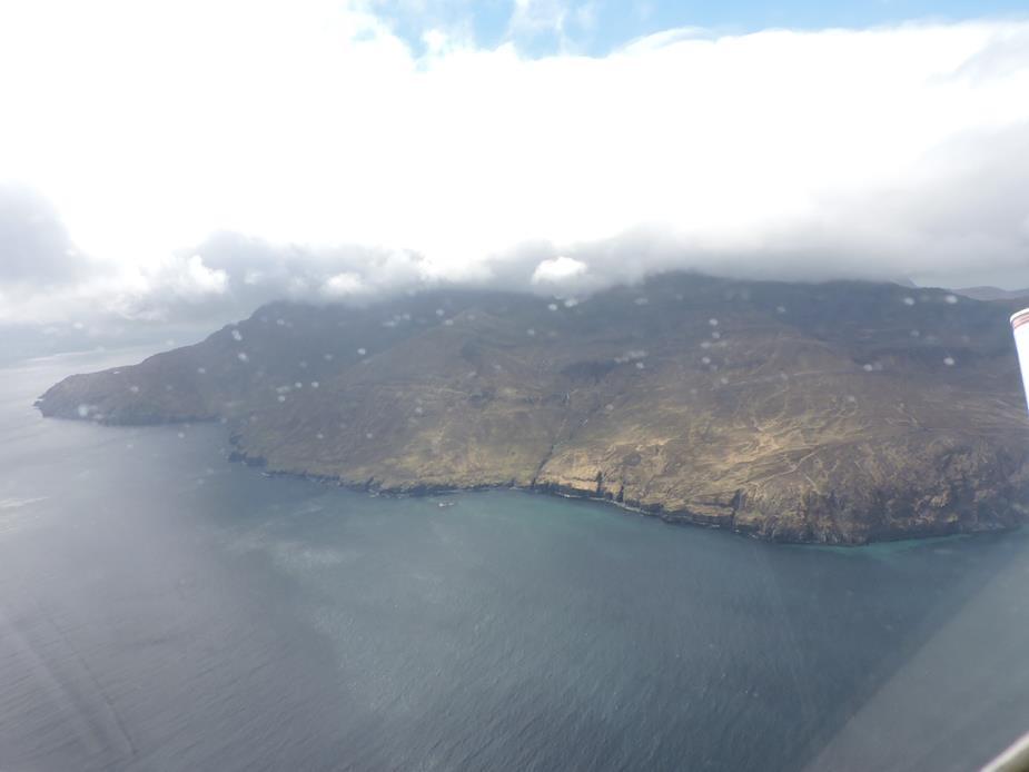
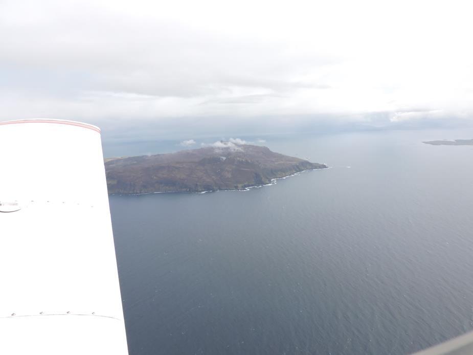
And this is Muck. They came up with great names for these islands!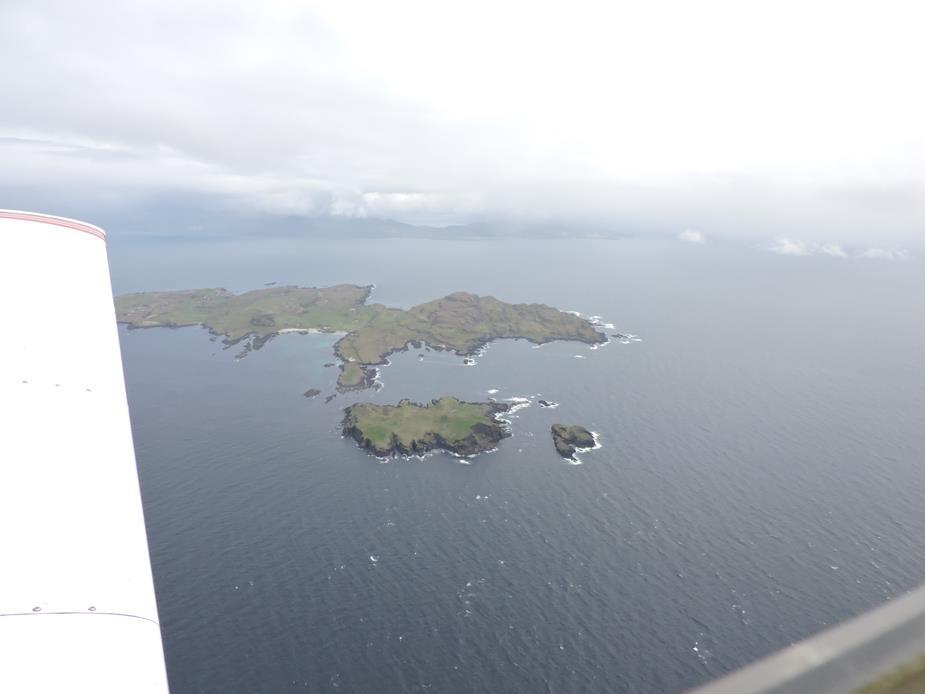
Approching Coll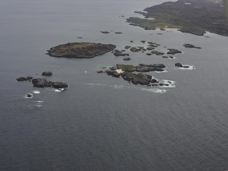
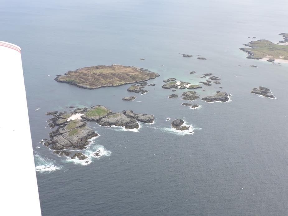
The island of Coll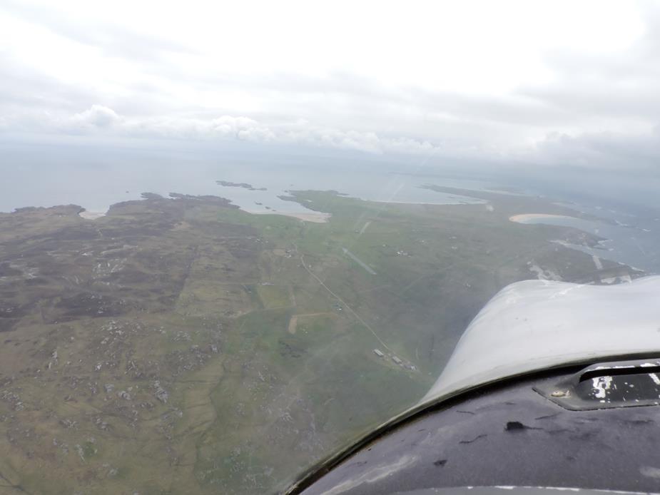
EGEL Coll Airfield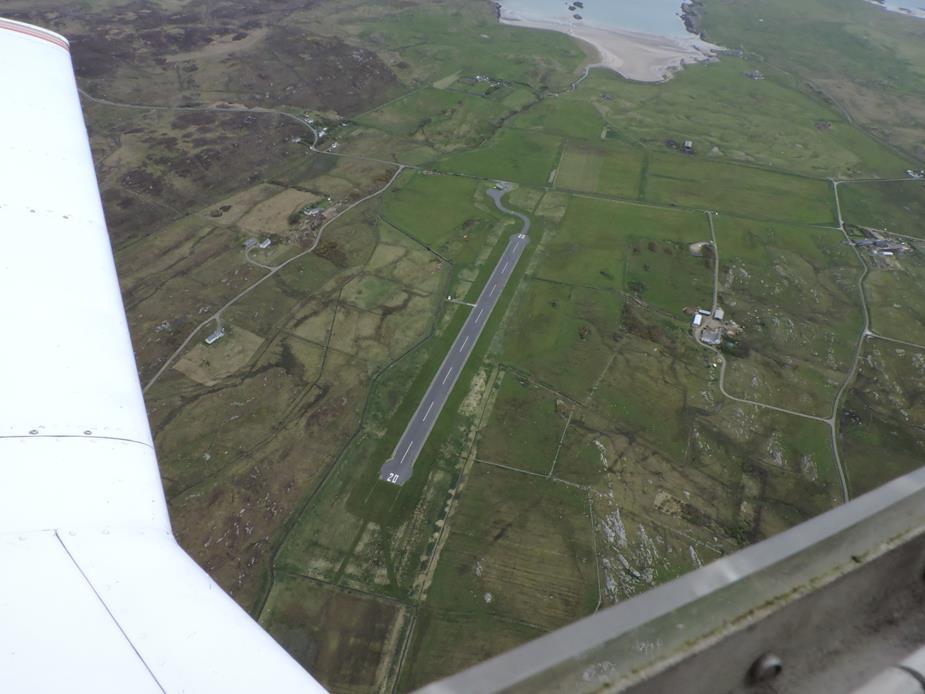
Hebridean Airways operate three flights into here on Mondays, three on Wednesdays, one on Fridays and one on Sunday. This being a Sunday, my flight, by coincidence, arrived just as the airport was opening up for the Hebredian flight. I had an out of hours permit, and had already paid my landing fees, so it being open or closed made no difference to me, other than I couldn’t depart at the same time as that flight.
After a 30-40 minute walk around part of the island, it was time to head home again. 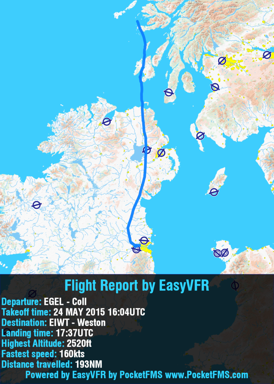
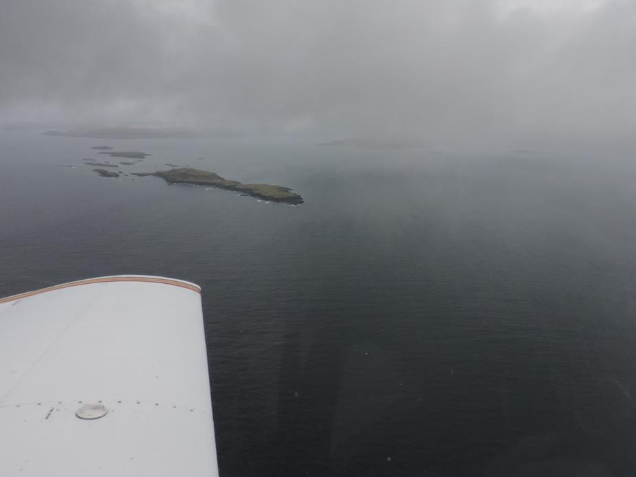
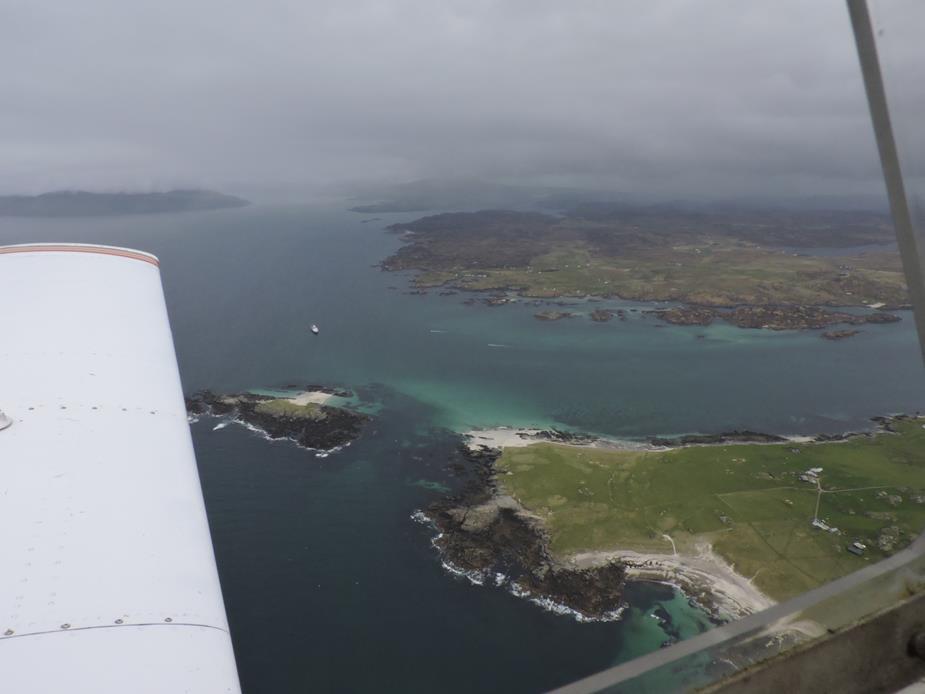
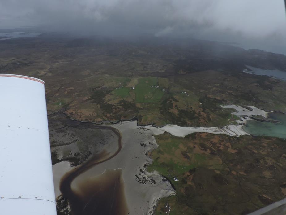
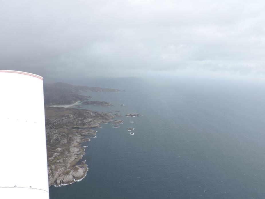
Colonsay Island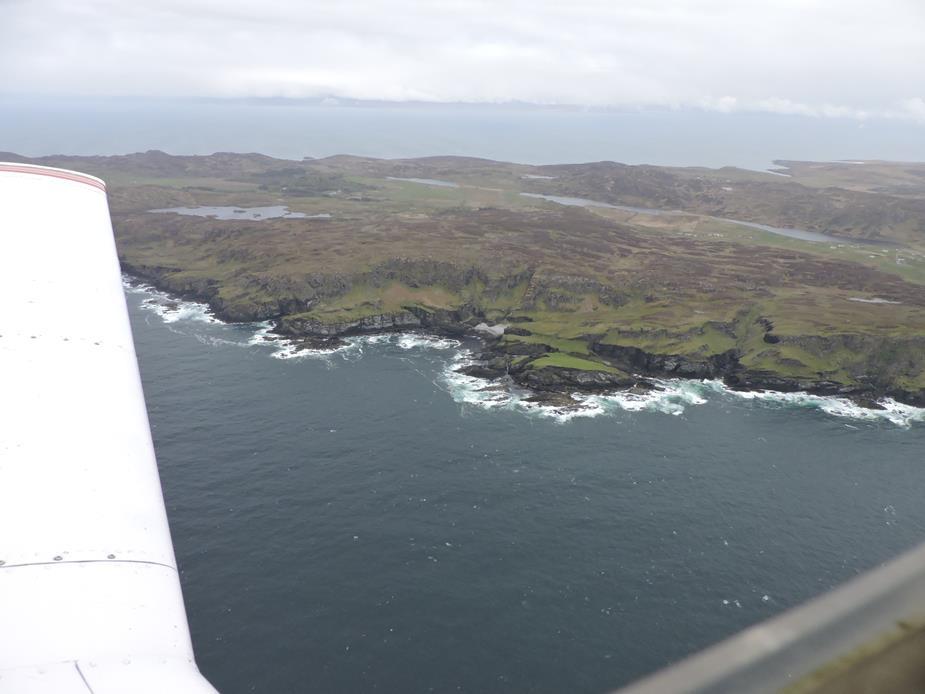
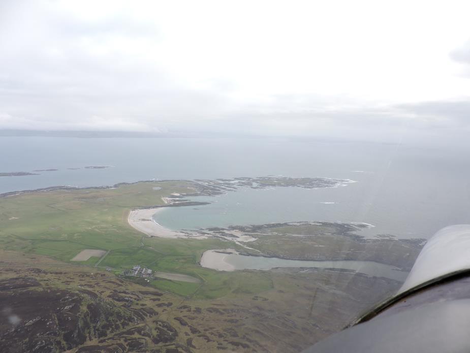
EGEY Colonsay Airfield. I didn’t land here this time, but have a number of times in the past. The airport is right beside its “links” golf course, which is populated by sheep most of the time. “Sheep poo” seems to be a local hazard on the greens. I wonder what the rules say about removing the hazard?! I’ve had a very nice lunch at the local hotel in the past. While I haven’t seen them myself, I heard that the rooms are clean but basic.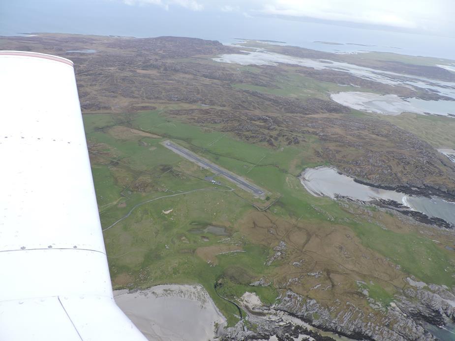
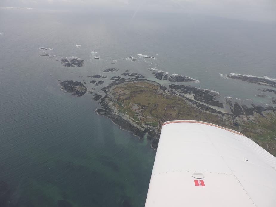
A tall ship sailing south past Islay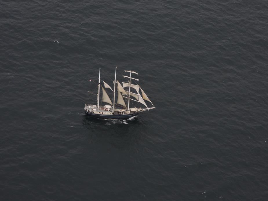
Mull of Oa, Southern shore of Islay Island.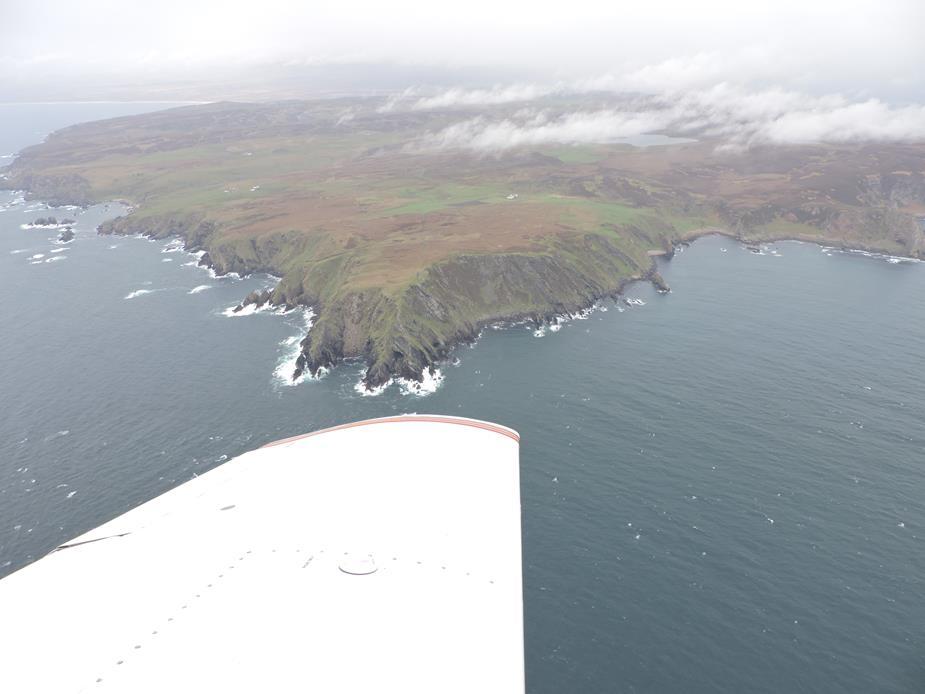
Rathlin Island. You can just about make out the Northern Irish coast hiding under the clouds. 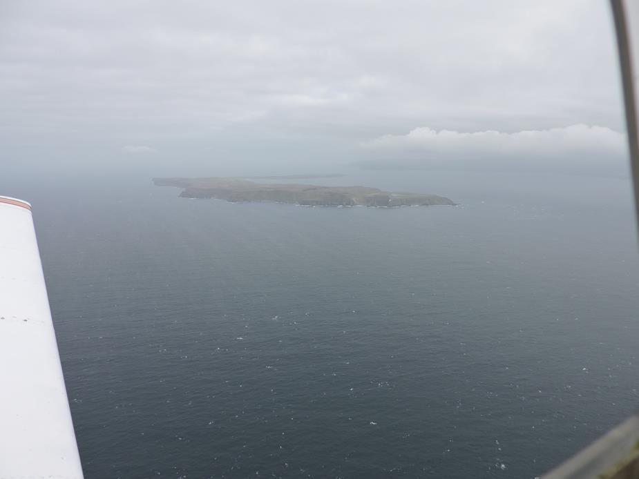
West Lighthouse (zoomed in) Rathlin Island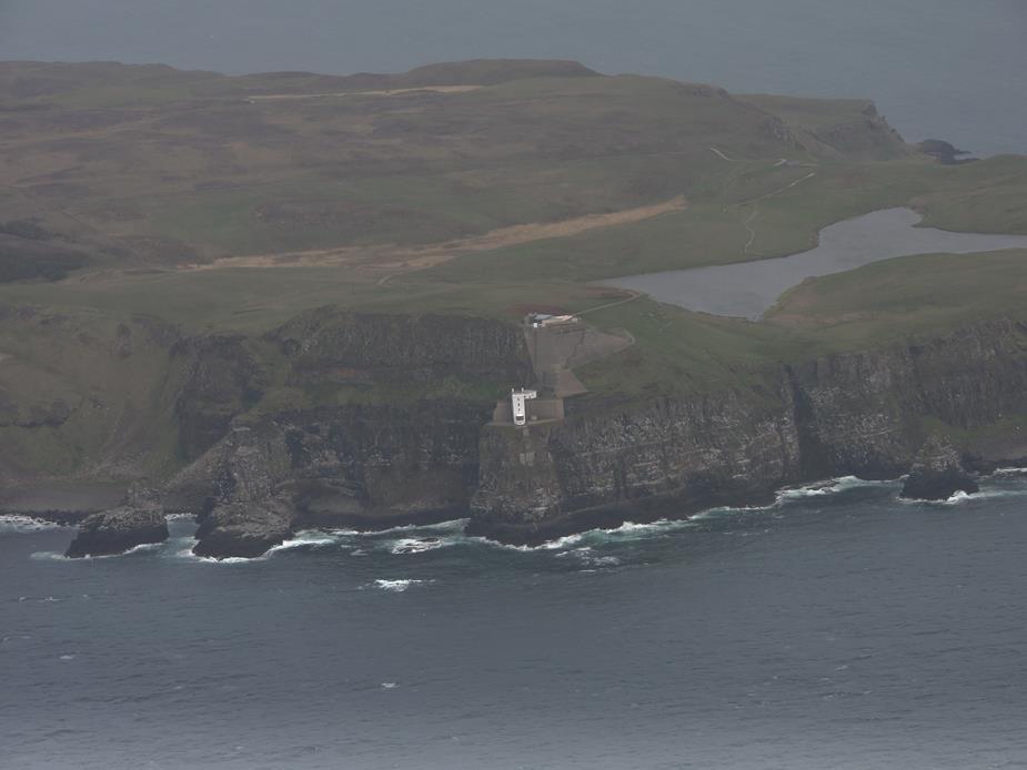
Without zoom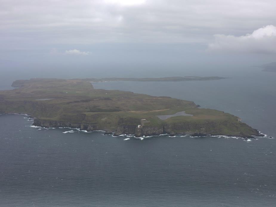
This is the Altnahinch Dam and reservoir in Northern Ireland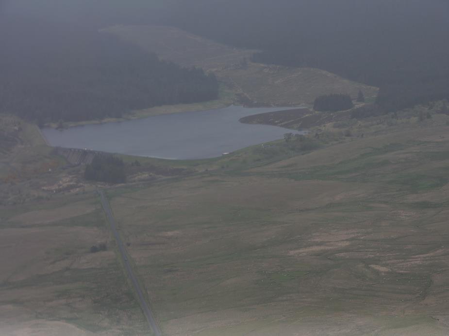
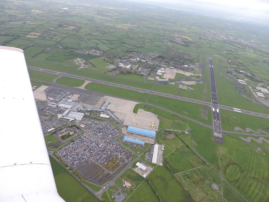
I decided to ask for, and got a transit through the overhead of EGAA Belfast Aldergrove airport. The transit was approved “Not above 3000ft”. These photos were from 2500ft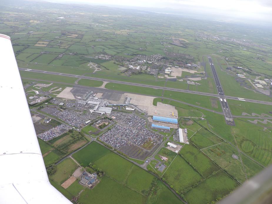
Maynooth, Co. Kildare, Republic of Ireland, as I approach EIWT Weston.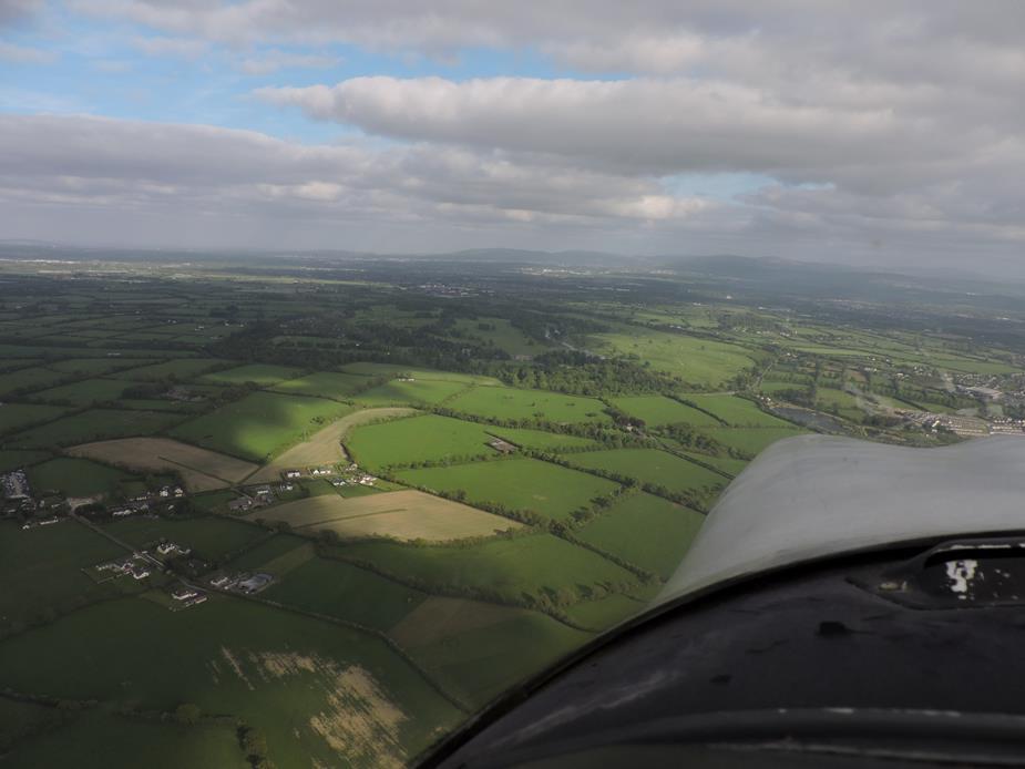
Home, after a long enjoyable day. EIWT Weston Airport.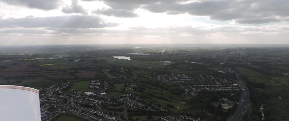
I hope you enjoyed this VFR report. Us VFR pilots tend to look up to IFR flight, but sometimes VFR is the right tool for the job. For this flight, VFR was the right tool.
If you get the chance to fly around Scotland, pick your day carefully with the weather. The weather on this day would probably not be suitable for a first time visitor. But get the day right, and you’ll have a flight that you’ll remember for the rest of your life.
Colm