
Stephan_Schwab wrote:
In that sense pictures of clouds and an experience report about how it was on the inside are quite helpful to build up one’s own reference system.
On my second flight after getting the IR, there was a cold front with a secondary front, depicted as a trough line on the SWC, to be crossed on the route from LFGB (north of Basel) to Toussus. In the morning, there still was lightning shown along the route, so we drove to the field with the mindset that we would continue on to Paris by car. But when we got there, the front had weakened so much that there had been no more lightning anywhere for three hours, and the cloud top temperatures were showing weakening frontal activity. Radar only had light rain, so we decided to take the SR22. It was the right decision, since the flight went smoothly and for the most part out of clouds. Only towards Paris, after coming out of some cloud, I suddenly found this Cumulus in front, which was part of the secondary “trough line”:

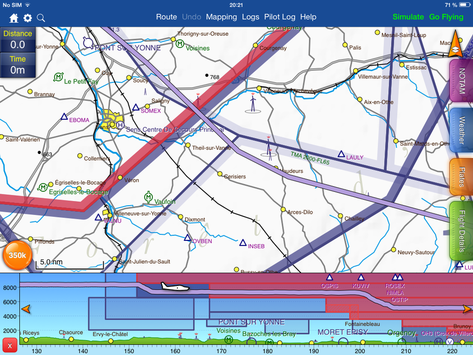
At that point we were getting directs to waypoints to set us up for the approach in the Paris TMA:
I asked ATC “request to turn right 20° to avoid”, as I had been told by my IR instructor. He had told me about many pilots not being assertive enough with ATC, and I answered that I would never hesitate to tell them what I needed. But in this situation, the reply was “standby, I will co-ordinate your request” (I think she first asked me to repeat and then I got the “standby”), and I saw the cloud approaching quickly. A bit later I then told her “deviating 20° to the right to avoid”, but at that point I would have needed more like 80°.
I used the auto-pilot (DFC90) which worked very well and reduced power to target a speed of 120 KIAS. I had the finger on the autopilot disconnect button ready to push it should I dislike anything it was doing, and closely watched the attitude and airspeed. First there was a strong updraft, and I had to reduce to idle in order not to get too fast, then the speed dropped and I used about 75 % power maximum to keep around 110 KIAS. The whole encounter didn’t last more than a minute and we then were in the clear. It was more than I expected before entering this cloud, but I didn’t feel that this was dangerous at any moment. It got me to ask myself the same questions that you did. Plan B would have been to cancel IFR and descend, but at least en route that would have been very uncomfortable due to some unforecast low cloud.
In a busy TMA like Paris, you don’t want to deviate from your clearance easily. The fact that I only saw this cloud quite late due to being in another cloud before didn’t help either.
If I got a Standby on a request to avoid and it wasn’t happening I would have turned anyway as per original request.
In IFR airspace the separation is something like 5nm (3nm AFAIK if radar sep is used) so there is room.
And if you have TCAS you will see CAT a lot more than 3nm away. In reality one rarely sees anybody even remotely that close unless separated vertically. I don’t recall ever being within less than 10nm or so of CAT at same level.
Plus, in convective wx, ATC work with bigger margins anyway.
Josh wrote:
Orographic lift over hills and mountains can produce seriously nasty effects in clear air – I would strongly recommend not flying through any form of convective cloud over the Alps or Pyrenees.
Or even in clear air if it’s windy.
About 10 or 12 years ago, I was doing a rather long cross country (coast to coast) in the United States in a Cessna 140 (C85 engine and cruise prop, just to make it more interesting). You can’t really do that without crossing mountain ranges. Flying in the mountains with so little power is “an experience” (and glider experience comes in handy, I did quite a lot of ridge soaring…)
Faced with the choice of being stuck in Sacramento for a week with solid low IFR or getting out of there if I hustled, I got out of there, in the direction of Salt Lake City. I had to cross the Sierra Nevadas. The weather was coming in from the north west, and was moving a little bit quicker than forecast, I had already planned a route to keep me well south of it, but that had to be amended in flight when it was clear there was weather to the north I wanted to be nowhere near. It took all the way from Sacramento to the Sierra Nevadas to gain sufficient altitude to get over the mountains (which were still thickly covered in snow in May). The wind had also got up, too.
It didn’t get really bad until I was well into the mountain crossing. My bag full of sectional charts spent more time on the roof of the cabin than on the seat. The turbulence felt like an angry deity slapping the plane around the sky, it felt extremely violent. All the time I had to be carefully picking my points for ridge crossings because one thing I could not afford under any circumstances was to hit descending air given I had no climb performance left. The flight was exciting in all the wrong ways, basically. It probably lasted only 15 minutes but it felt like hours.
JasonC wrote:
In the US interestingly they are far more proactive with weather and try to help you based on what they can see.
I suppose this is not news to you, Jason, but contrary to Europe, in the US ATC have both terrain overlay and weather overlay.
I listened to a video on YouTube (ATC recording to be precise) where ATC gives vectors to an airplane which is loaded with ice and unable to maintain altitude. It is guided into a valley to lower terrain and eventually manages to shed the ice and land safely. That recording is absolutely chilling.
Why on earth doesn’t ATC have weather overlays in Europe. And do not believe that it would be useful only to GA. CAT have onboard radar, but they can not see the big pictures and sometimes end up in trouble for that reason. The BEA have published a report following an incident involving an AF flight that had an encounter with a CB in which several cabin attendants got injured. BEA recommended radar overlays at controller positions.
Aviathor wrote:
Why on earth doesn’t ATC have weather overlays in Europe.
I don’t think you can make a blanket statement like that. AFAIK FIS in Germany and Switzerland does have at least precipitation radar. And it seems to me that ATC can get weather info overlaid, it’s just not the default.
In France they definitely cannot. I do not get the impression that it is very widespread. I would need to dig up the BEA report – it may have contained some comparisons with other European countries.
It would have been interesting to get @Guillaume ’s view this.
Roaming around the web a little bit I came across a discussion in another forum where the subject line reads “Weather Radar overlay on Radardiplays” (not sure if I am allowed to post a link). It provides a little overview of practice in some countries around Europe.
There is also “EUROCONTROL Green Paper on the gains for the European ATM Network of aligned weather impact management” that I browsed through and looked very interesting.
Sure you can post a link. The issue which came up a while ago was mainly concerning links to sites which need a registration or are behind paywalls… Then one guy threw his toys out of the pram and left (and slagged off EuroGA and me in a well known “private” forum) when I changed a Project Propeller URL he posted, from a forum thread which was nearly all drivel, to the official PP website. I also invited the chief organiser of PP to post on EuroGA to promote the event but while he was interested he didn’t seem to succeed in creating a login.
You may be referring to this one from 2005. There are some “famous” characters there, not seen for years 
I have seen evidence, a few years ago, that Bournemouth EGHH have some access to wx radar, but it may well have been just some unofficial thing e.g. a PC running meteox.com. I would guess that many other ATC units have that too nowadays. It’s free; you just have to be careful to not use it “officially”. Many ATC units, and most non-ATC towers, are running FR24, for example.
I guess the PPrune thread is a little old now and things may have change since.
The BEA report I mentioned, which is relatively recent (2010) but in French only, does say that the control centers do have a screen that shows the current radar image, but not at the controller position, and not as an overlay. In the BEA’s annual report for 2011, I found the following statement:
Serious incident on 14 July 2010 on approach to Paris Orly (94) airport to the Airbus
A321-111 registered F-GMZB: the recommendation has been implemented
Rwy20 wrote:
But in this situation, the reply was “standby, I will co-ordinate your request” (I think she first asked me to repeat and then I got the “standby”)
I found this paper by Eurocontrol that discusses the problems associated with weather avoidance and ATC overload. One of the problems mentioned is coordination with other ATC units when the diversion takes you into another sector. Such coordination may take time, so the earlier you can ask for a heading change, the better. And when the weather is really bad everybody is asking for heading changes to avoid, controller workload skyrockets so it gets interesting in terminal areas.
My experience with DFS in Germany is that all FIS stations have a complete rain radar and strike overlay on their screens (you can see it at the AERO show in Friedrichshafen where they have FIS terminals on display). However, they can be a bit reluctant giving information when they sense that you want to use that information to do dangerous things.
German ATC have limited weather radar display on their screens. They claim it is generated by ATC radar stations, not the standard met office weather radar. I’m not entirely sure what the exact capability is — it is less than FIS for sure. When IFR, I have often contacted FIS asking about the extension, speed and direction of precipitation areas.
However, nowadays it is easy to have rain radar images in your cockpit and I wouldn’t fly without that anymore. While it only used to work with satellite uplinks, I now get rather good results with a standard mobile phone and the Telegram BOT.


