AeroPlus wrote:
How to see a vertical profile of the weather in Windy.com or its app is not clear to me yet. Any tips appreciated.
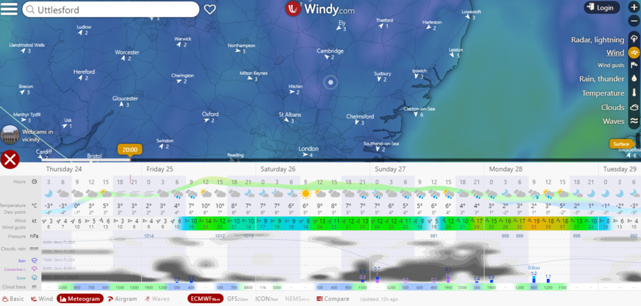
On PC & App: click anywhere, weather picker/the amber arrow, then Meteogram/Airgram, this gives Hight + Time
Then you can click on other places in the 2D map to get a “3D+Time picture”, the compare feature is very useful
On App, you can just click on airport and get it with other stuff (e.g. metar, taf…)
RASP is less neat and live than Windy, but work well for other stuff…
Both are as good as what you get from the forecasting models but you get a far better picture on weather than just metars on 3 airports, would be useful to be able to load an FPL from SD/FF and get a dump along the route?
Aeroplus I think you mean Simon Keeling. He runs a large online profile to sell his weather courses and other things. I have been to one of his courses, years ago… I didn’t not find it sufficiently practical for my flying. It is possible that he has access to the UK Met Office 3D model. I say this because (a) he is an ex UKMO employee; (b) he may be selling commercial wx forecast services (a bit like e.g. Avbrief do / used to do) and this can finance the (of the order of) 5k/year UKMO annual fee for the model access.
I think the skew-t (a variant of what is called a tephigram) is a great visualisation for the vertical extent of IMC, and lots of other stuff. Professionals use it to work out the prob of convective activity too… But it is only a visualisation; the underlying data which the Great Unwashed like us can get is pretty poor (for Europe).
The UKMO wx model (produced with taxpayer money, hey ho) is top secret  because they sell it to commercial wx repackagers who sell wx forecasts to e.g. DIY chains who want to know whether it will rain (do a special promotion on decoration products) or sun will shine (do a special promotion on gardening products) etc…
What is this about the EU prohibiting the use of GFS model data? Source?
The European met offices regard their wx models as commercially confidential, and EU-funded wx sources (ECMWF for example) are similarly restricted. Windy.com has scored a big success by getting some limited access to the ECMWF model which is much better than GFS.
Ah! I understand now. GFS is the US model, which is offered for free and ECMWF and other models cost money. Clear.
From what I have heard, most of there models are about as accurate when it comes to the time period within T+72 hours. It is for longer forecasting periods, such as 4 days ahead that the differences show up.
I don’t think Simon Keeling uses anything that isn’t here:-
On the differences beyond 5 day, my understanding from the type of models/numerics used by various models, if you have a good strating point, GFS should work better long term (>5 days) on large scales (UK) for pressure and winds, for short/mid term (2 days) in Europe you will find ecmwf to work better as it incorporates lot of local terrain, source and surface data than gfs: these frequent updates lead to good predictions short term but lot of instabilities in long term forcasts…
Again non of them will predict local weather on top of Courecheval In the next 5 hours better than a look outside ;)
Beyond 1 month just throw all them in the bin, even if the models/inputs are perfect the numerics just blow up, you will rather be more accurate looking at historicalnd seasonal data for the likelihood of the day
Peter wrote:
……limited access to the ECMWF model which is much better than GFS.
From my limited understanding and from information received in a weather seminar some time ago on numerical weather predition, the battle between the different numerical weather models is on extending the accuracy of the forecast from T+72 hours to a useful forecast extending into the 4th and possibly 5th day. So, in my understanding, the forecasts are quite accurate within the timeframe between now (T) and T+72 hours. Also, the forecasts are not that accurate close to the ground in the lower air mass, let’s say in the lowest 2000-3000 feet. Correct?
AeroPlus wrote:
my understanding, the forecasts are quite accurate within the timeframe between now (T) and T+72 hours. Also, the forecasts are not that accurate close to the ground in the lower air mass, let’s say in the lowest 2000-3000 feet. Correct?
If they have sensible physics, you can get that T to T+72h mainly from recurrent parameters updates/calibration, then a good forecaster will have sensible long-term outlook and stable parameters (on this GFS probably beats other models)
On lowest 2000-3000 feet, I have no idea honestly, but I guess GFS may not be the best: the height resolution is really pity for aviation purposes (and for predicting hurricanes, which what other models brag about while creating few false ones out of thin air in long-term ), also it does not include lot of terrain/surface data, tough IMO GFS predictions are more than enough for those who plan to fly 2000km at FL3300 or if you want to see MLSP/Wind synoptic 10 days ahead…
Some private providers claim to have 1km*1km resolution that would work at 3000ft in the Swiss Alps, but as Peter said, I would rather keep GFS/ECMWF for free and invest money in a mountain rating (not as cash in the bank), after all we fly on actual weather not in forecasts