As the euroga fly-in is getting nearer, so are weather considerations. I’ve briefly flown in France, but it will be my first time to fly in Spain and also Morocco, if I make it that far.
What do those who’ve flown there recommend as good (online) weather sources?
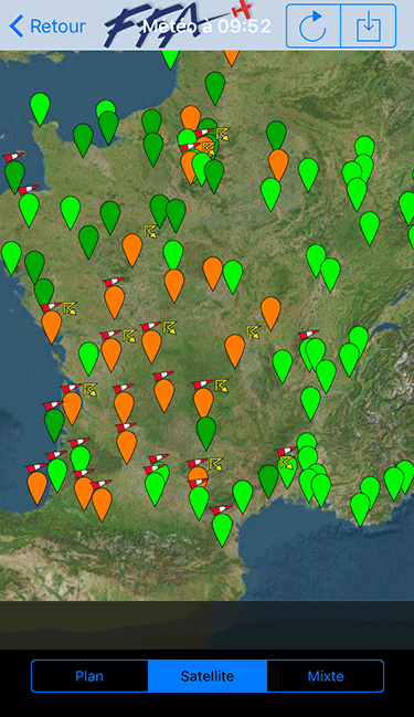
VFR, right? Topmeteo. Especially for Morocco it proved to be our most reliable option.
But I just love it for the VFR flyable hours per day chart, because at one glance you can check the next three days and already have a 90 % reliable idea if you will make your planned route or not.
But it is not free.
In France I still use the app “CAVOK” or “F-AERO” to get the TEMSI and wind charts from Meteo France, and to display METARs on a map. Unfortunately though, the developer died in an ultralight crash last year, and some of the functionality in the app already stopped working (like NOTAMs).
http://www.ogimet.com/index.phtml.en
Many might know this but I only recently came across them. So far, I have found them quite reliable.
For the Malaga region, at the flight school, we use the following website: http://meteoleax.es
It is in Spanish, but only minimal.
Good luck Patrick. I’d be very interested in the trip report.
+1 for Ogimet. When I was living and flying in Spain, I mostly used this one. Pretty reliable.
AeroWeather app provides METAR/TAF and NOTAMs. And then of course the autorouter bot.
Aviathor wrote:
AeroWeather app provides METAR/TAF and NOTAMs
I use that as well, but the presentation of CAVOK is really convenient. And it also shows applicable SIGMETs first when you click on an aerodrome. I haven’t found these features in another app yet:

I find this quite a good visual representation of weather over a large area
http://www.orbifly.com/member/metmap.php?region_choose=EU2&mode=metar&lang=ENG&view_color=metars
I was going to start a thread on wx sources for a few days ahead 
In short, there are no “good” wx sources for this timescale.
All European wx offices run their products to make money, and release only a few bits. The rest is sold at hefty subscription rates to commercial weather repackagers, or directly to broadcasters such as the BBC.
The UK Met Office releases their MSLP charts, 5 days ahead. We have had various threads on these – search for MSLP. There is no known free site which presents these in the correct order and with the 0600 and 1800 ones included. I get mine via a subscription to Avbrief.com but I wonder how long they will be around for since their phone has seemingly been disconnected and they are very slow answering emails. These MSLPs are probably the most reliable for Europe, though 5 days ahead any forecast is fiction except by good luck. You can see what is probably coming, given the usual westerly airflow, but the time of arrival is very hard to forecast. And some scenarios (e.g. where the stuff is barely moving sideways, but is convective) are inherently hard to forecast.
Then you get TAFs and these are by far the most reliable. These of course come from the national wx offices and normally don’t come out until a METAR has been made. In the past, French TAFs were claimed to be rubbish because they are/were computer generated.
Almost all the other wx data, including all of the ones above, is from the free US-run GFS model, which is OK but still not good for say 5 days ahead.
Most forecasts are pessimistic, for CYA reasons.
A PROB30 is shorthand for “unlikely but we have to cover our arses otherwise we get 10,000 grannies jamming our phone lines”.
A PROB40 is shorthand for “it’s fairly likely to happen”.
You should never cancel until the morning of the flight when you have the TAFs and the METARs
The planning is somewhat different for VFR versus IFR. Most VFR is done at low level, below cloud. But not all… depends on airspace, etc. Most IFR is done VMC on top, so one can use e.g. IR images.
Regarding the site mentioned above, I get this

so it looks like the plug has been pulled, following the developer’s death. I know someone downloaded the latest French map from it, late in 2015… which exists usefully, as a jpeg.
Peter wrote:
There is no known free site which presents these in the correct order and with the 0600 and 1800 ones included.
Well, yes there is. The NorthAviMet web site does. It is free but requires registration which is given to “anybody holding a valid pilot licensing or certification (leisure or commercial) issued by the authorities in one of the NAMCon countries (Denmark, Estonia, Finland, Iceland, Latvia, Norway and Sweden). However, operators operating from one of the NAMCon countries can also be granted access.”
Next, someone will pop up saying that Botswana has a website which has these too
It’s ridiculous to restrict it like that.
Most of them can be found here but I am not sure if they are up to date since most of these free wx websites lift them from another free wx website.