
Outbound track to Weston EIWT
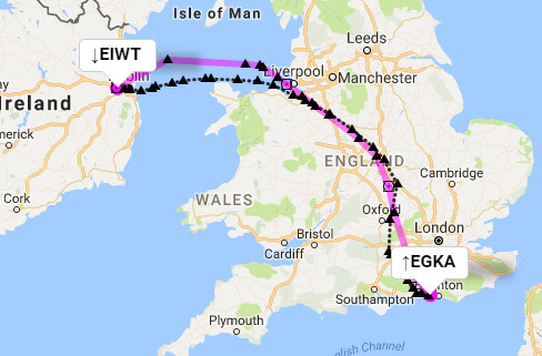
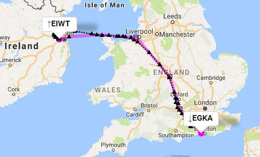
Return from Weston (would have been better as a VFR departure to the east)
The Weston-Oban bit was done VFR and Colm or myself will dig that out later…
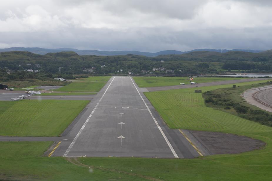
Here is a little video of the final approach into Oban. Nothing special but a little tight…
Here are the track logs for the Ireland-Scotland bits.
Google Earth KML & Google Map files for detailed track review:
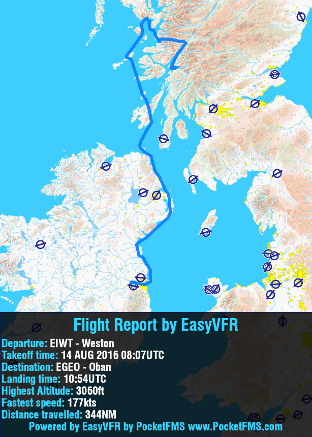
Dublin to Oban click here
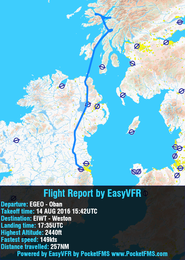
Oban to Dublin click here
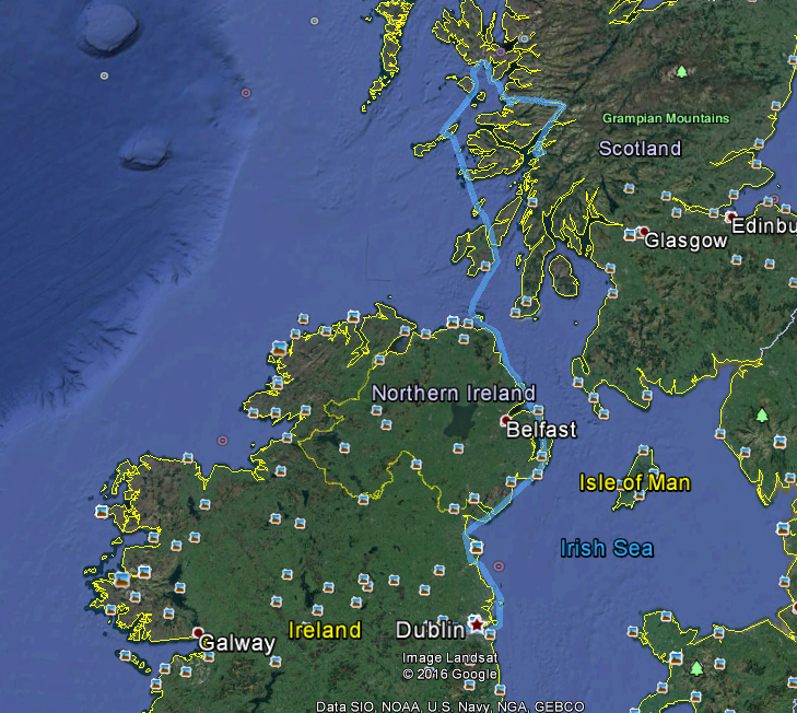
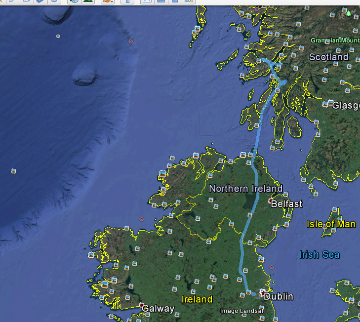
Google Earth Screen shots:
Dublin to Oban
Oban to Dublin
EasyVFR flight reports. It’s probably a while since you saw Peter fly for a few hours without getting above 3000ft  But 177kts isn’t bad at such low level
I never realised what a good destination it could be. I may well visit. How about an Oban fly in?
We could definitely do an Oban fly-in.
I need to go through the pics in Lightroom and bring them up a bit, due to the overcast sky.
Rich wrote:
I’ll try again for the Flyer fly-in in September – sans wife (who doesn’t like aviation talk).
My wife will be there too, as will Emir’s wife, and Peter’s other half. None of them are too fond of aviation talk AFAIK. They’ll start their own club and be peachy!
JasonC wrote:
I never realised what a good destination it could be. I may well visit. How about an Oban fly in?
I made a day trip up there last year, it’s an excellent place to go – the scenery’s very nice and the town itself is just down the road (I used their free bicycle hire to get myself into town, it’s about 5 miles)
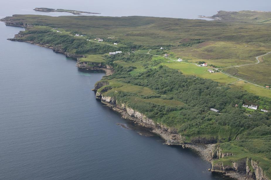
For anyone visiting the area, I would also highly recommend a visit to Plockton too if you can. The village is just so picturesque and not too far to walk from the airfield. However, if you wish to stay overnight (which I would highly recommend if the weather is good), the lovely staff at The Plockton Hotel couldn’t do enough for us, including fetching & dropping us, plus baggage, from & to the airfield, which of course makes life so much easier.
Some photos from the trip. Captions refer to the photo below the caption.
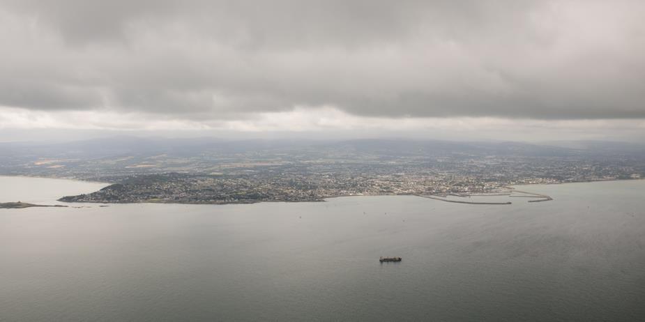
Dun Laoghaire, Dublin.
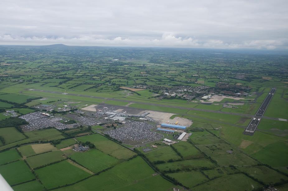
Peter’s arrival into Weston
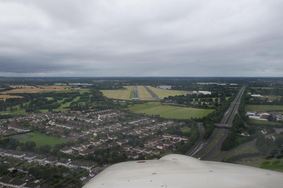
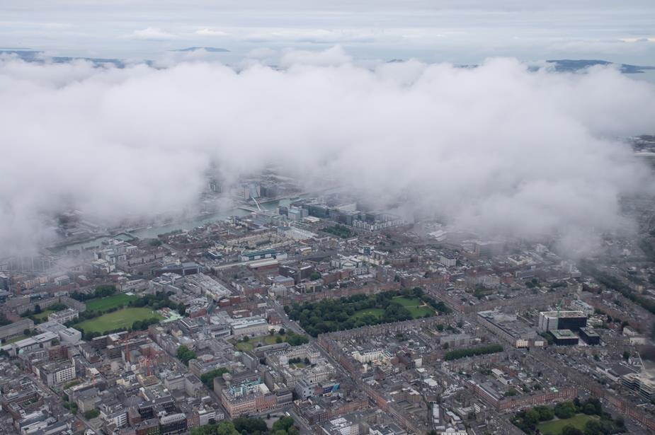
Rather than taking the shortest route, which would be directly north from Weston, we decided to take a more scenic route. This basically overflies Dublin City, not above 2000ft, and then a descent to 500ft for what is known at the “Lambay Transit”. This is a low level transit below the traffic arriving / departing Dublin Airport.
Merrion Square Dublin, and one block down and to the left is Leinster House, the home of the Dail-the Irish parliament.
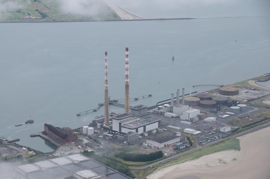
The Pigeon House Chimneys. An important VRP for VFR traffic transiting Dublin CTR
Aviva Stadium. Home to the Irish Soccer and Rugby teams
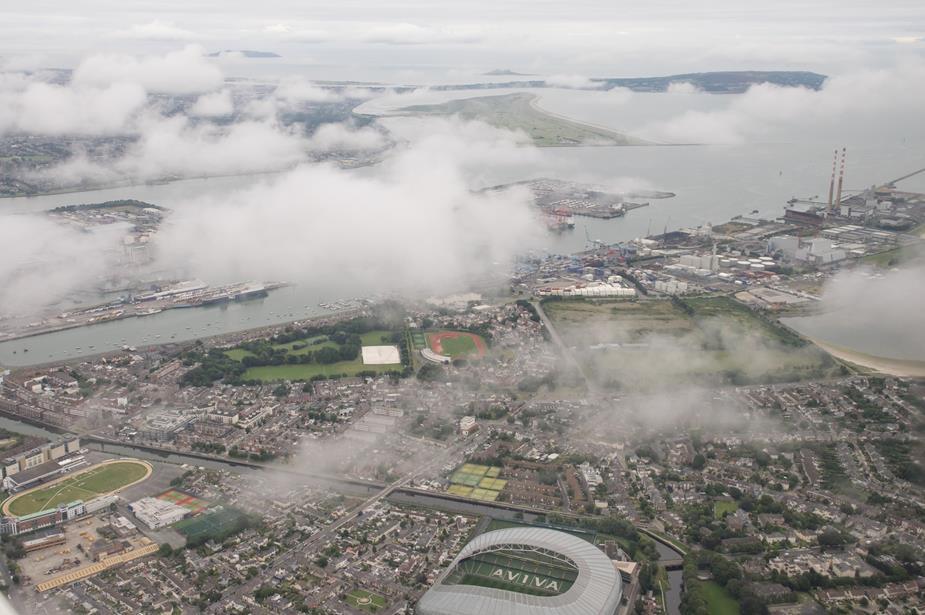
Dublin Port

Now at 500ft, on the Lambay Transit route
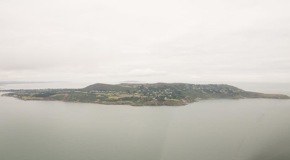
Howth Head.
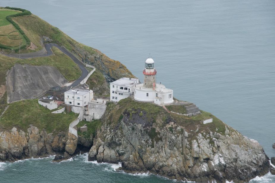
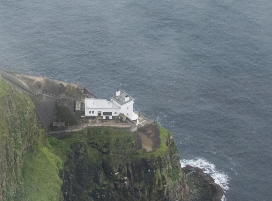
Baily Lighthouse, Howth Head. There are some lovely walks around here.
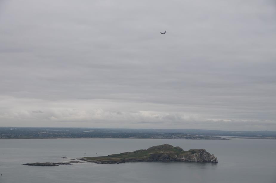
The reason we’re at 500ft! Traffic passing overhead into EIDW Dublin. The island is called “Ireland’s Eye”
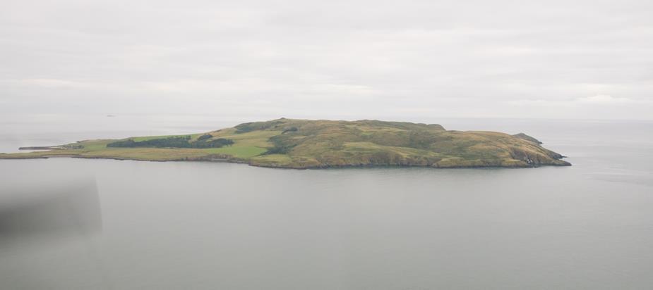
Lambay Island
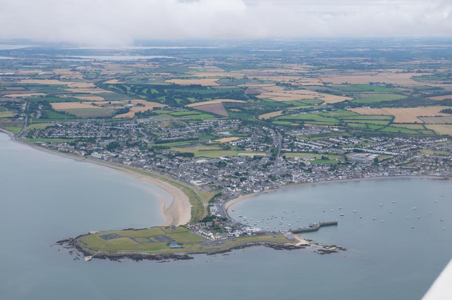
Skerries. A suburb of Dublin.
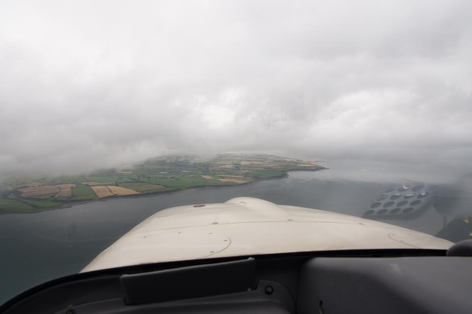
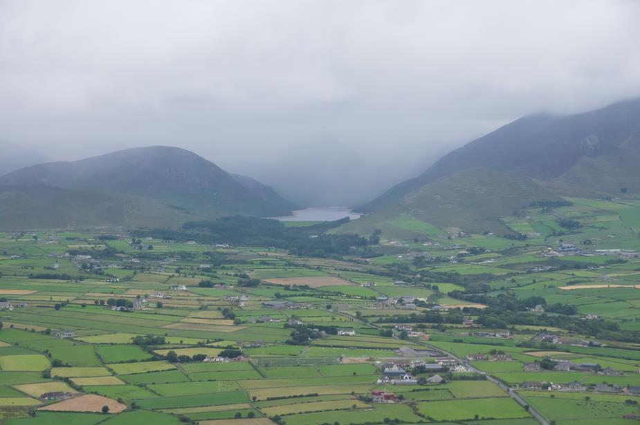
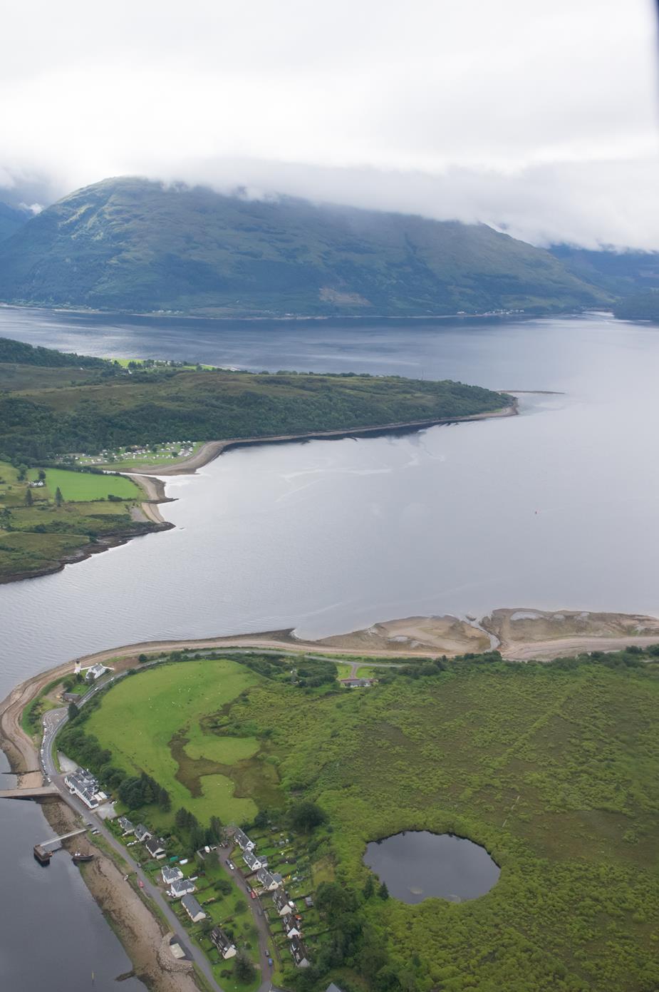
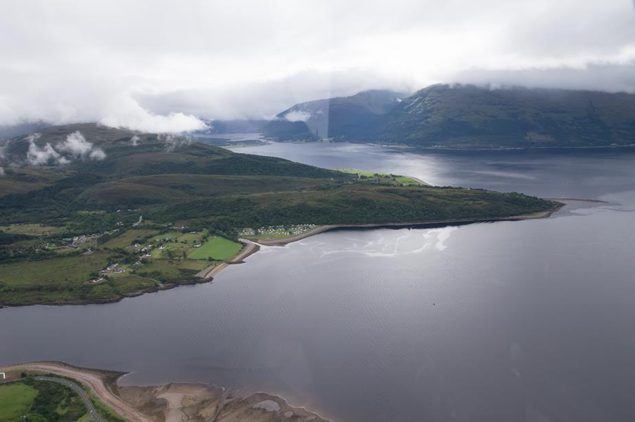
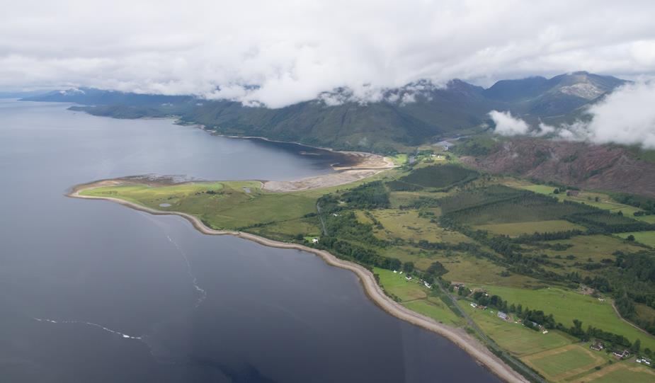
As we approached Northern Ireland the cloud base dropped. As this was a VFR flight, we couldn’t just go straight through! So we had to pick and choose our way around. First we tried going inland, but that didn’t work out so well, so we changed tact and worked our way around the coast. While, it’s not normally this bad, I regularly find that the worse weather on a trip to Scotland will be over Northern Ireland. There is something about the topography here that causes a lower cloud base than elsewhere.
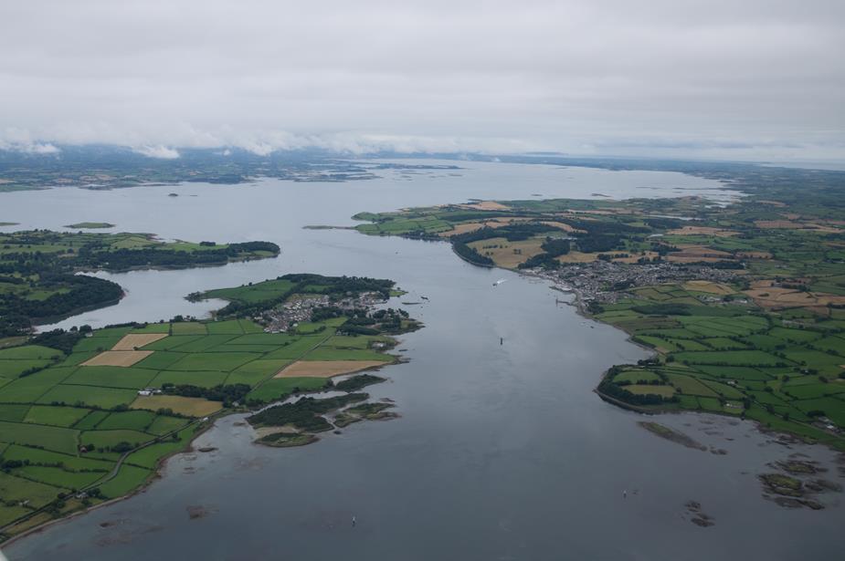
Carlingford Lough, Northern Ireland
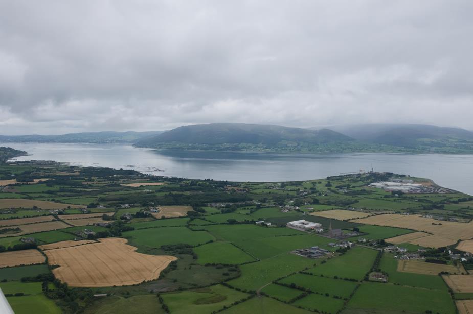
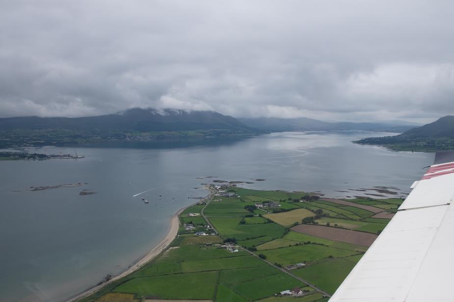
Mourne Mountains, Northern Ireland
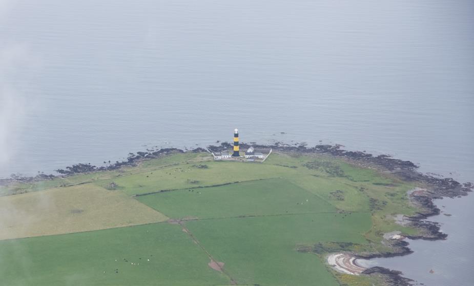
A wasp coloured lighthouse, Northern Ireland
A temporary reprieve from the cloud base.
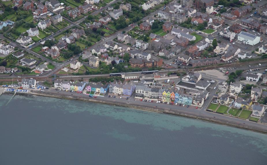
Some colourful houses, Northern Ireland
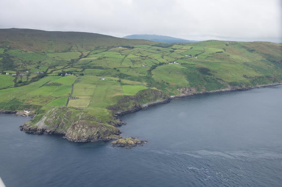
The north Antrim coast, Northern Ireland
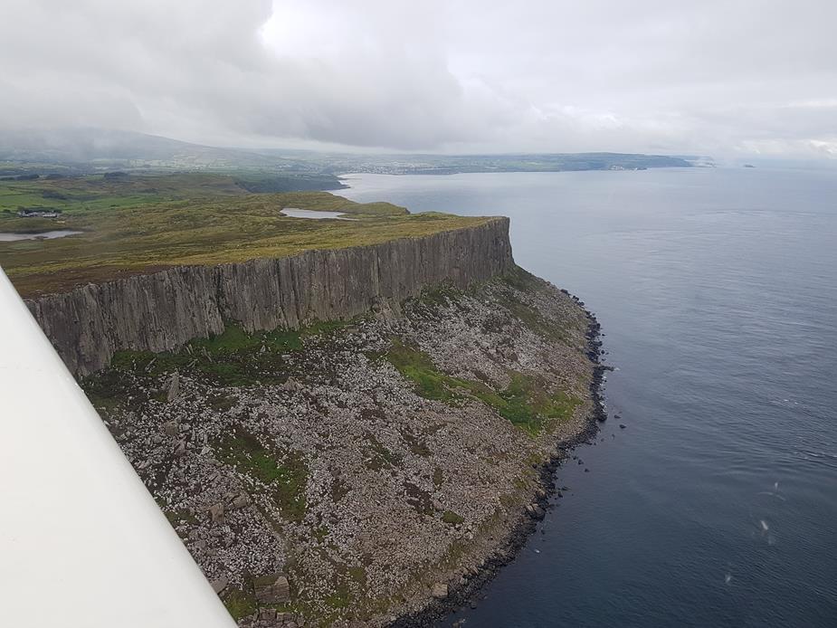
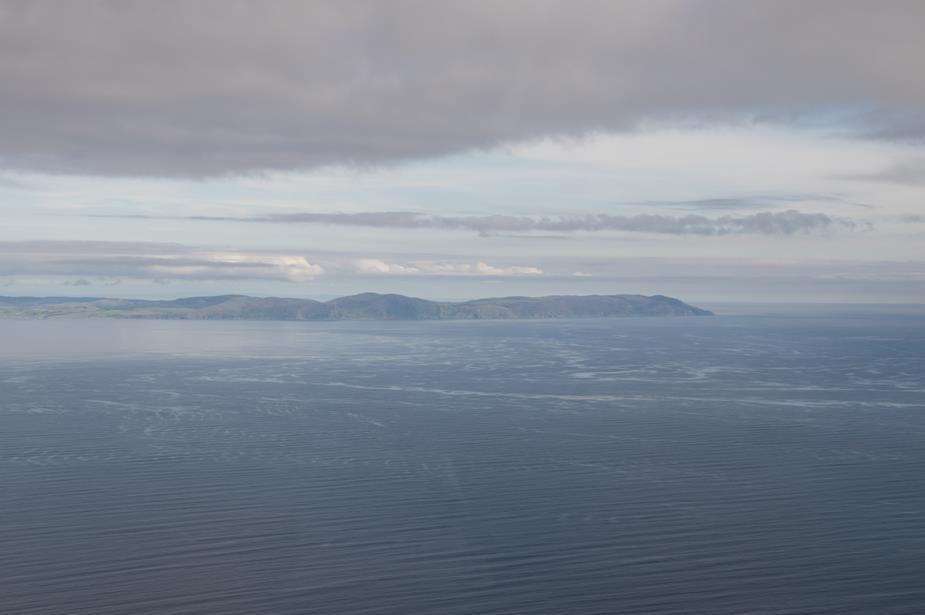
Rathlin Island, just after coasting out from Northern Ireland
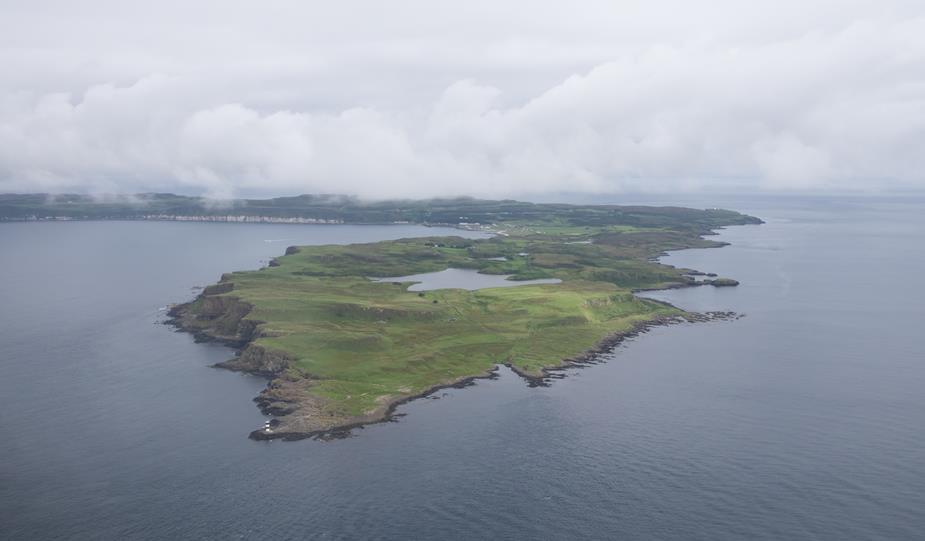
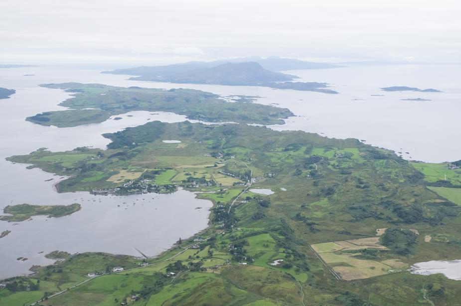
Islay! Scotland at last. Of course once we’re past Northern Ireland, the really low cloud is gone!
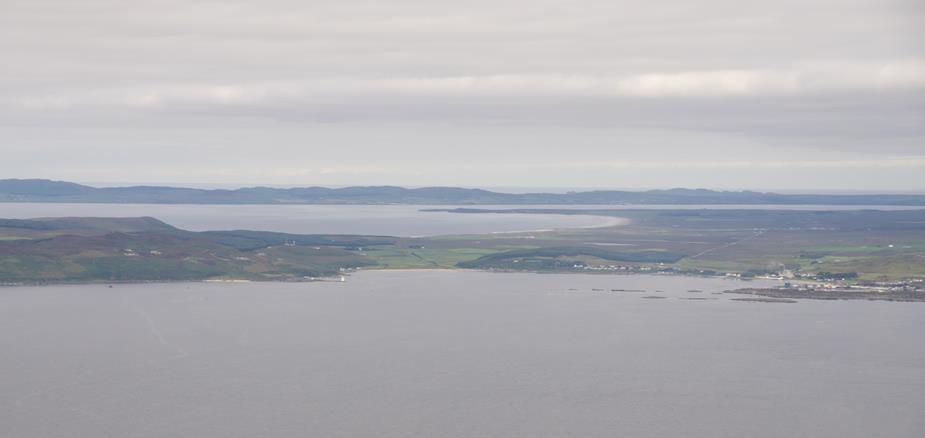
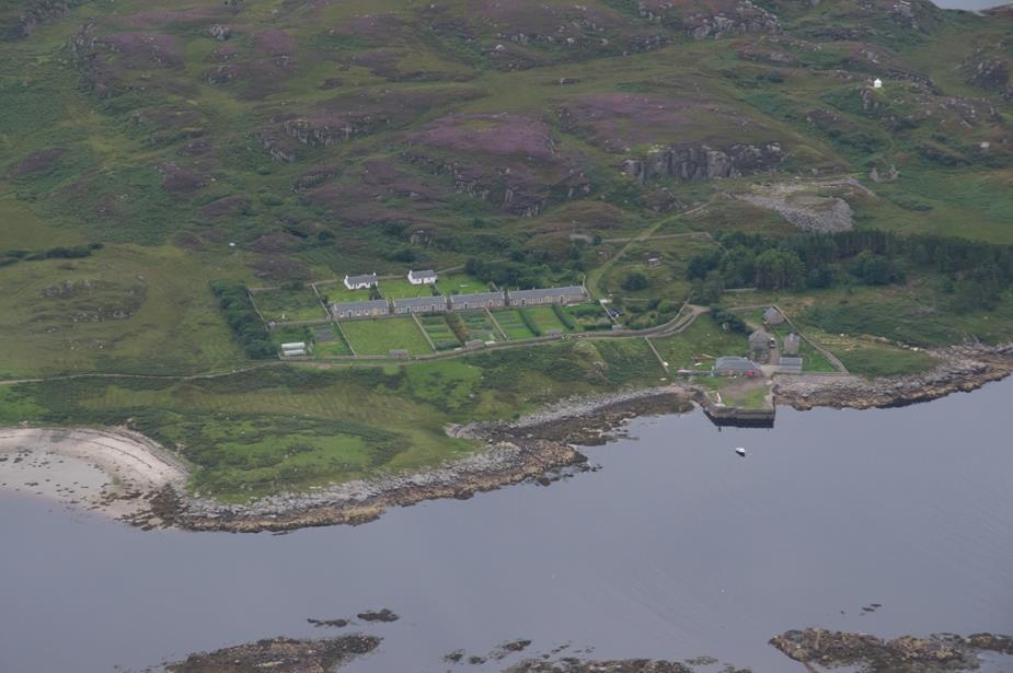
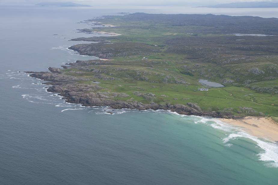
Colonsay Airfield
Colonsay Island
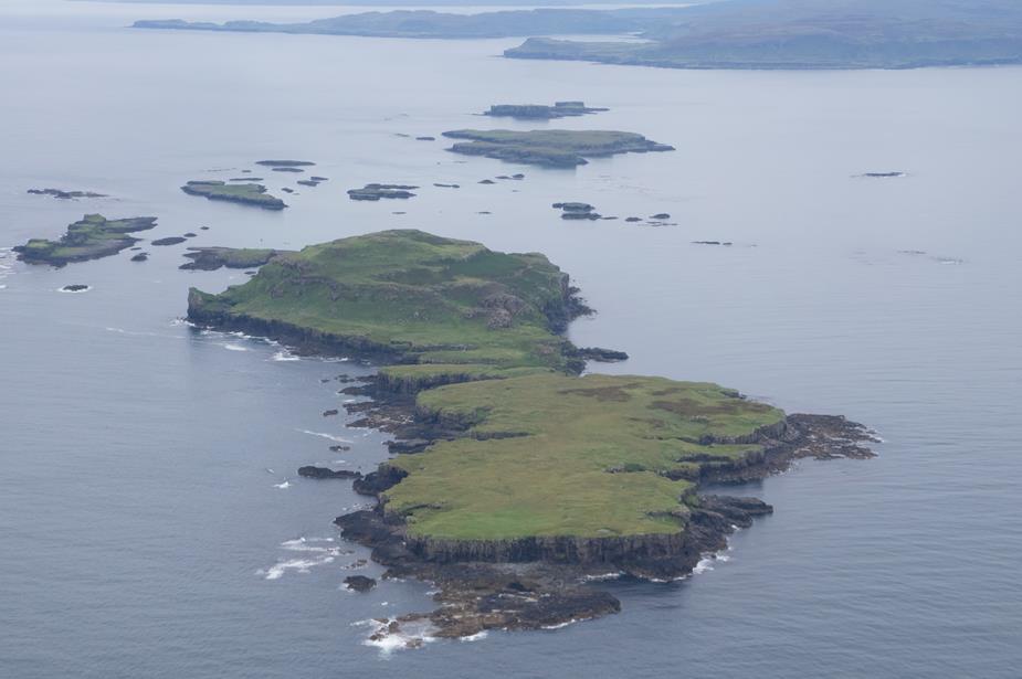
A housing estate, Hebrides style!
An island with a prime development opportunity!
Coll Airfield
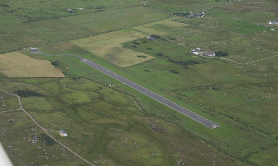
Coll Island
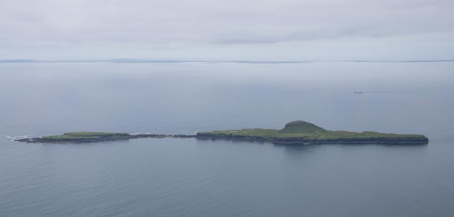
I’m not 100% sure, but I think these two are Rum Island. The islands here have interesting names. There is Muck, Eigg and Rum
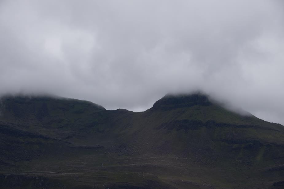
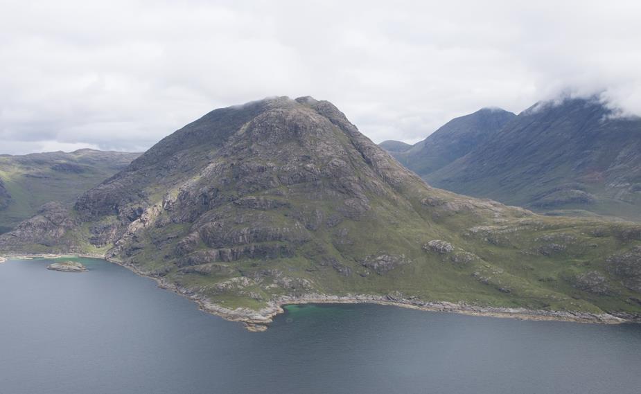
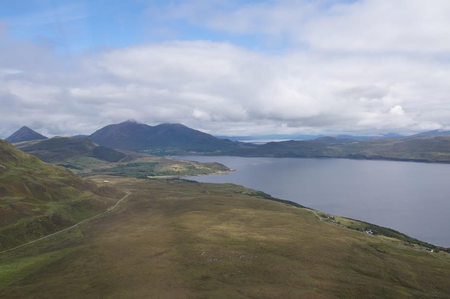
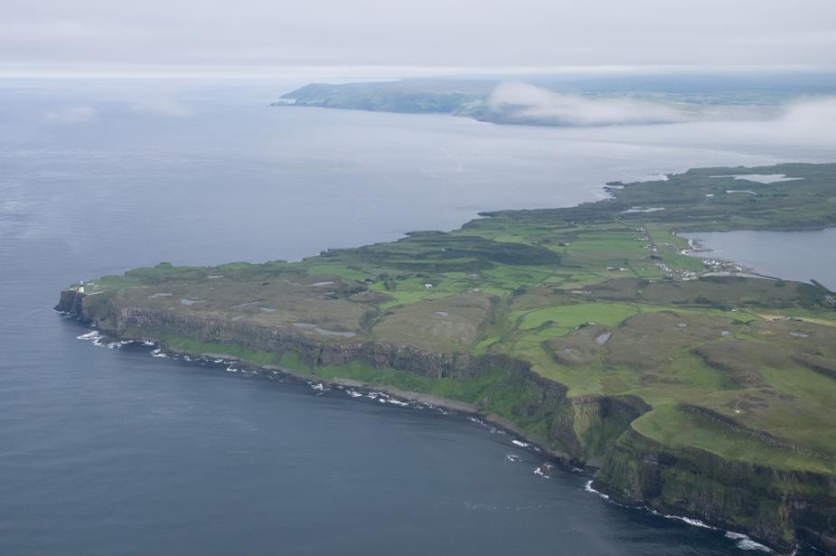
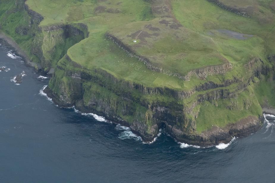
The Isle of Sky. Probably my favourite place in Scotland, both from the air and on the ground. Unfortunately the cloud base was a little low to see it in all its majesty.
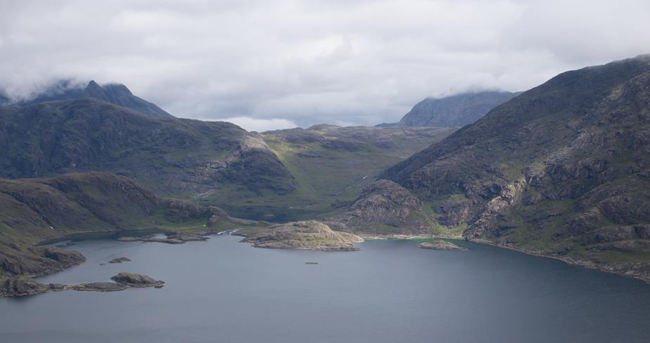
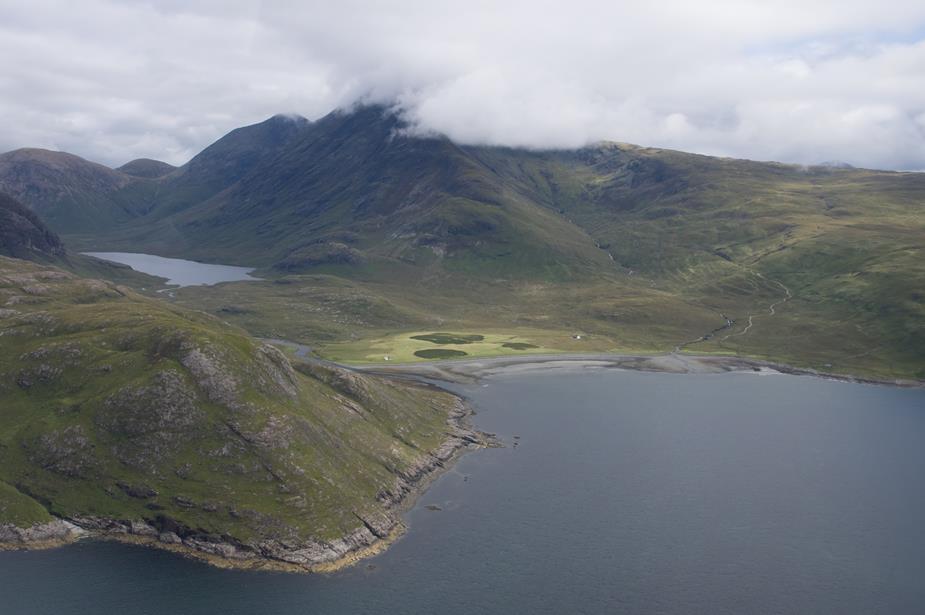
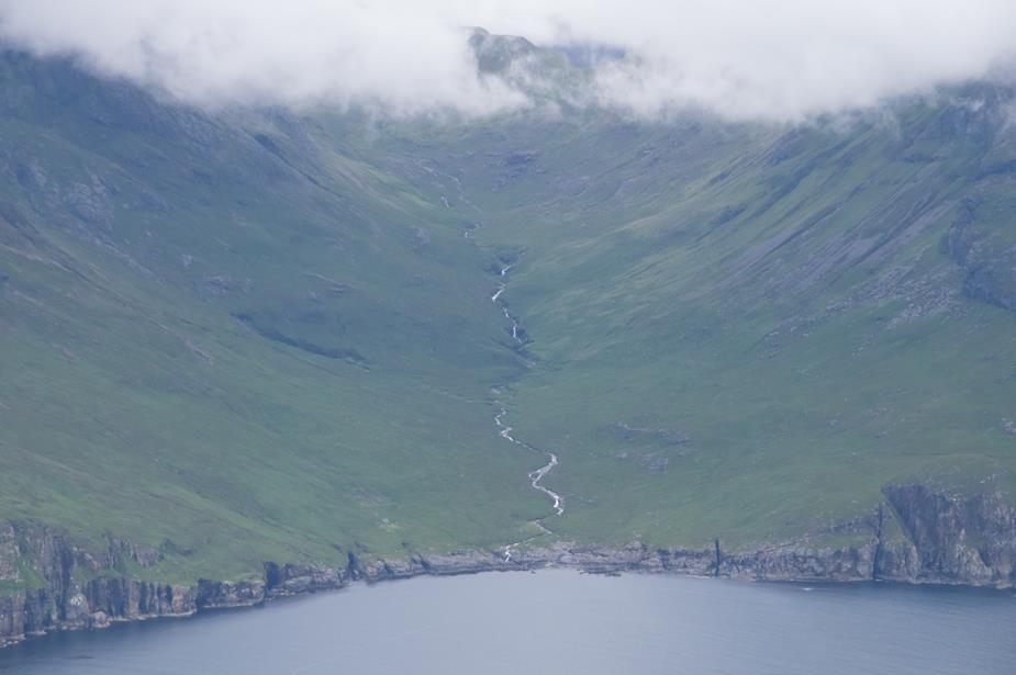
Now we try some valley flying from Skye to Fort William. We’re looking up at the terrain, and the terrain on both sides of us is capped in cloud. But before entering the valley we got a good luck to make sure it was clear, at least far enough that it opens to allow a steep turn. I’ve been down this valley many times before so know it well.

Weather is getting a little clearer
![]()
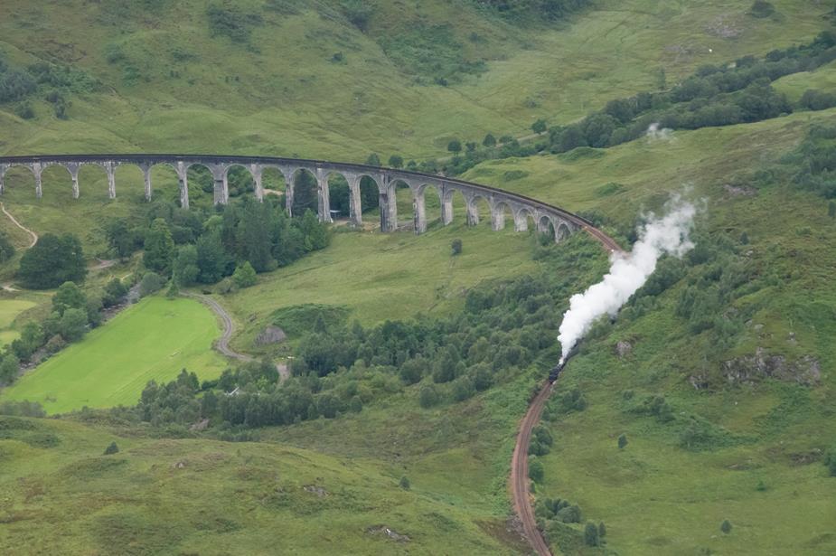
Harry Potter fans will recognise this bridge from the movies. We were there just at the right time to see the steam train. I can’t say for certain, but I’m 99.9% sure it was the Hogwards Express, carrying some witch and wizard students off on their summer holidays
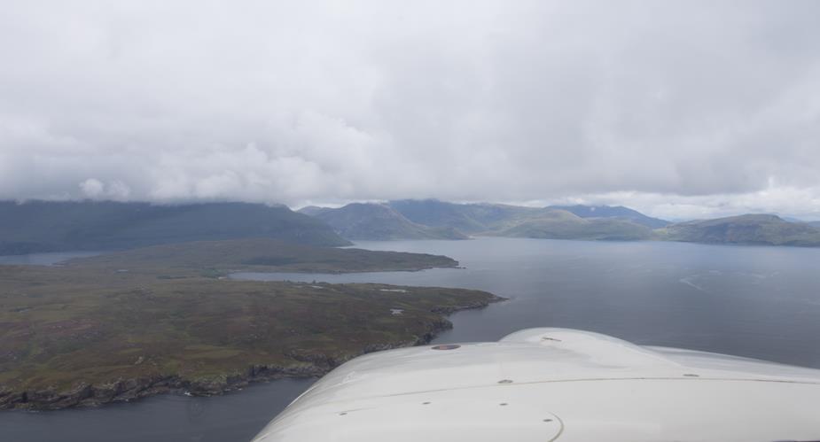
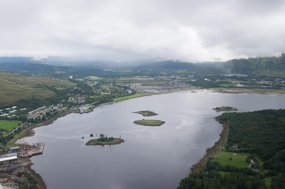
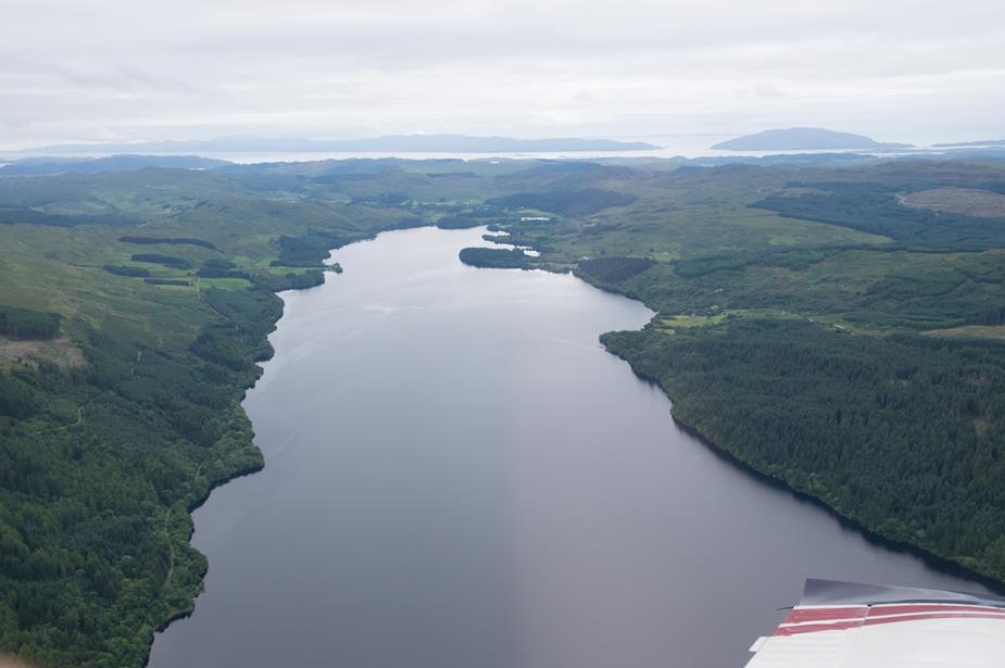
Fort William
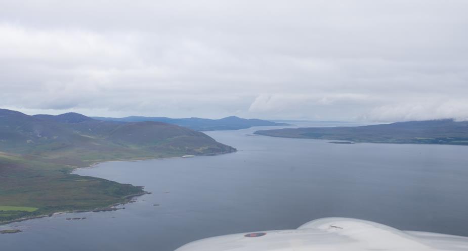
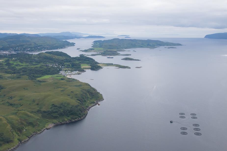
We’ve turned the corner now, and heading south towards Oban
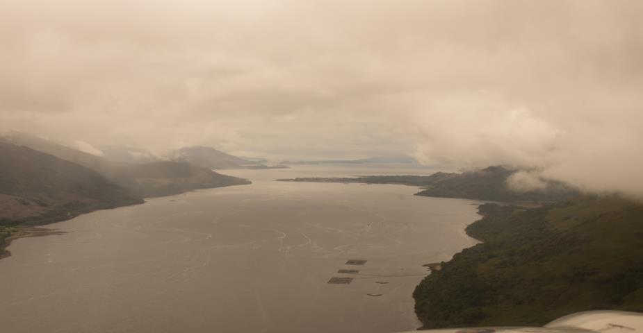
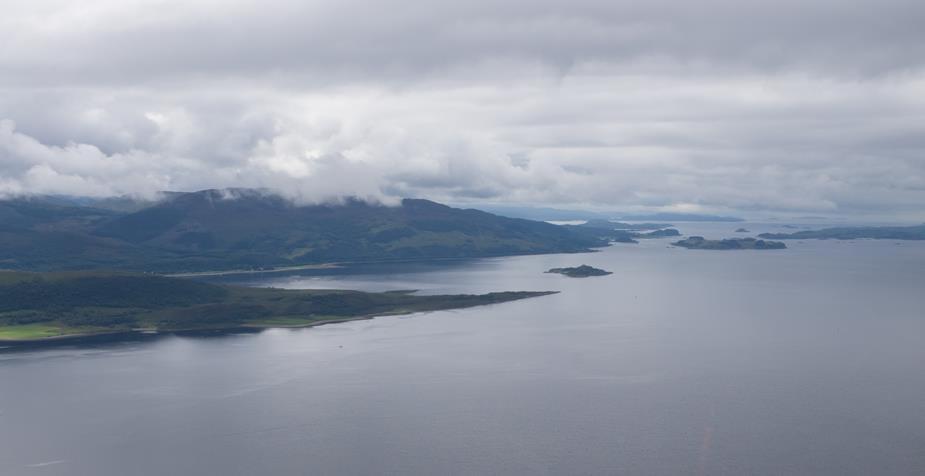
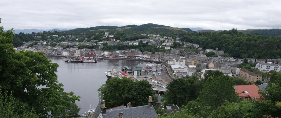
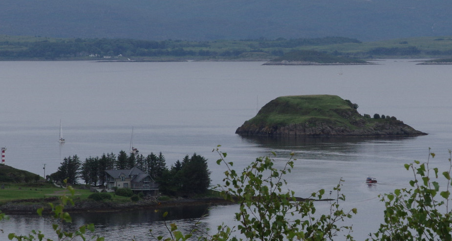
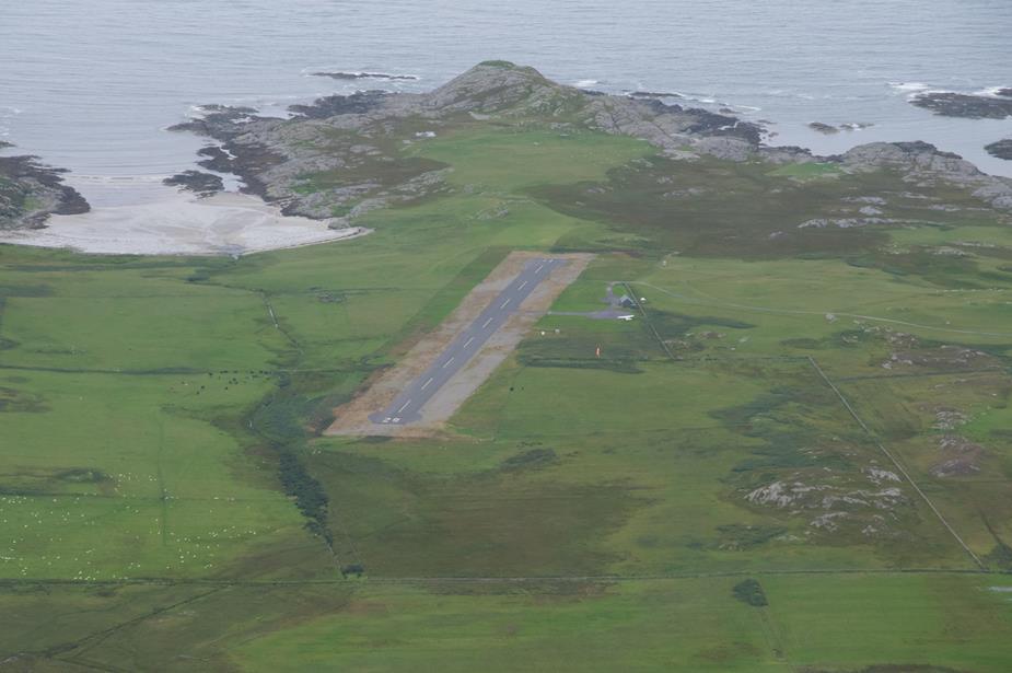
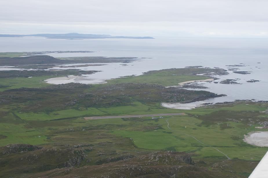
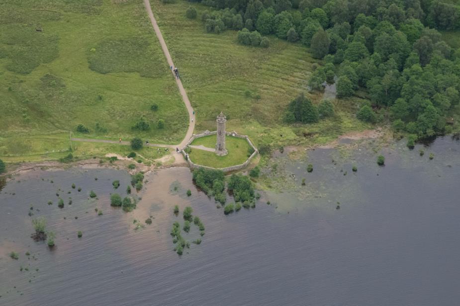
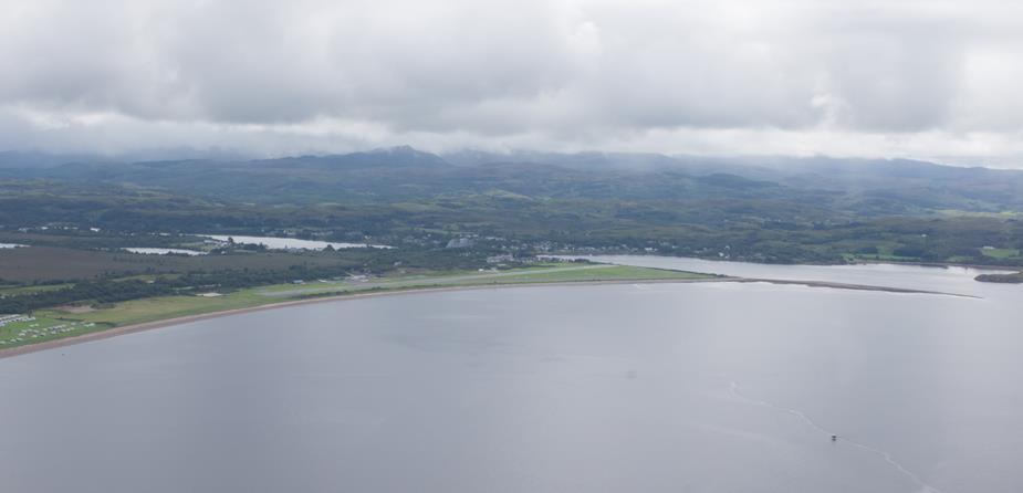
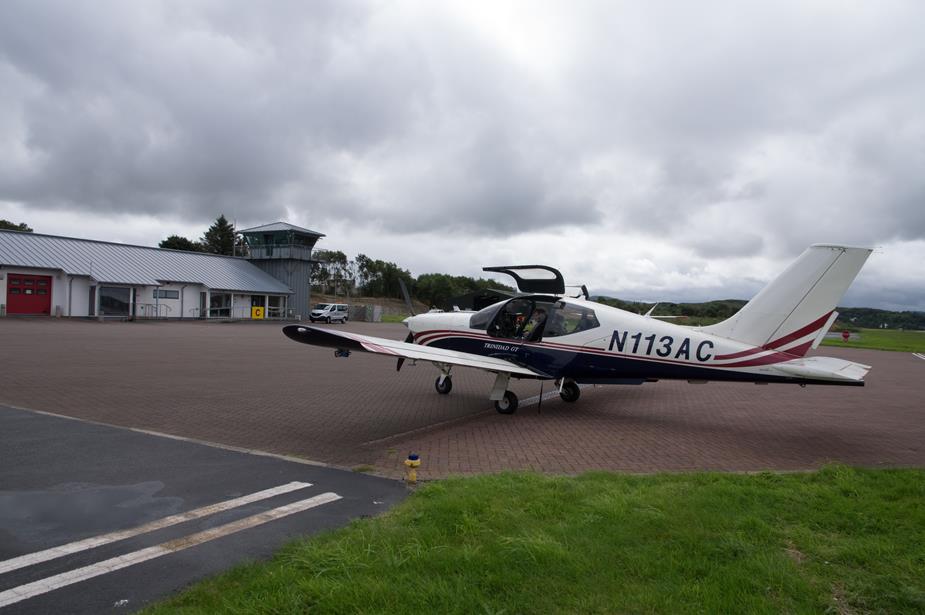
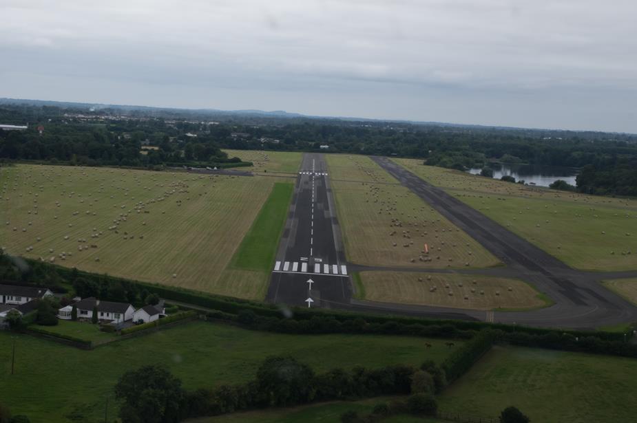
Oban Airfield
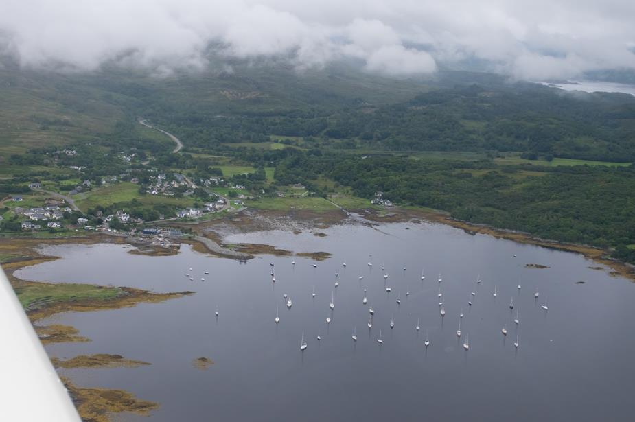
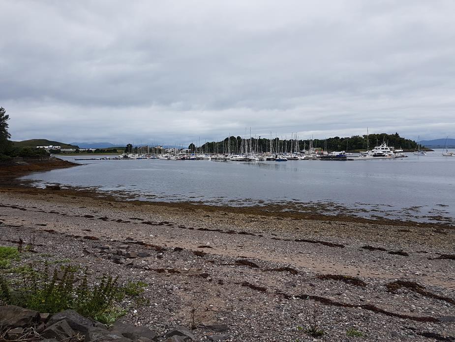
Oban Marina
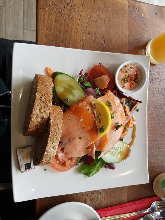
My lunch
Peter’s lunch….but he’ll try to tell Justine, his girlfriend, differently. I think she knows better
Parked at Oban
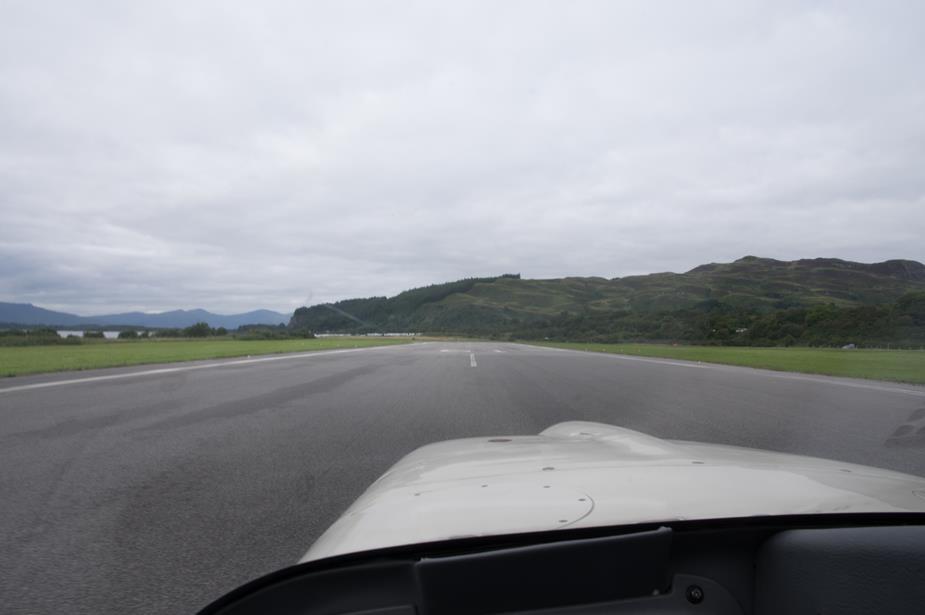
The famous hill at the end of Oban’s runway.
Departing Oban for the voyage home
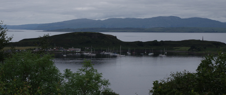
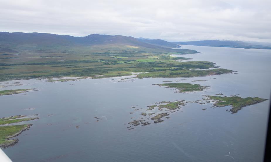
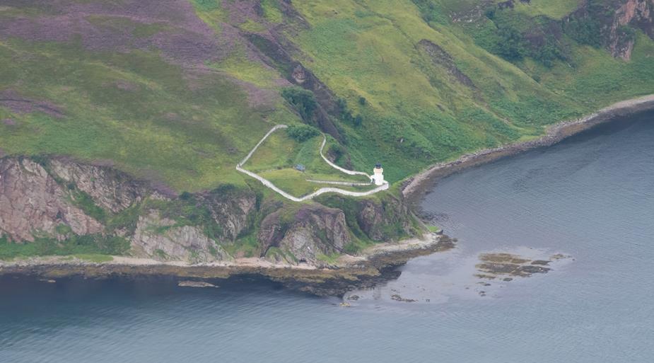
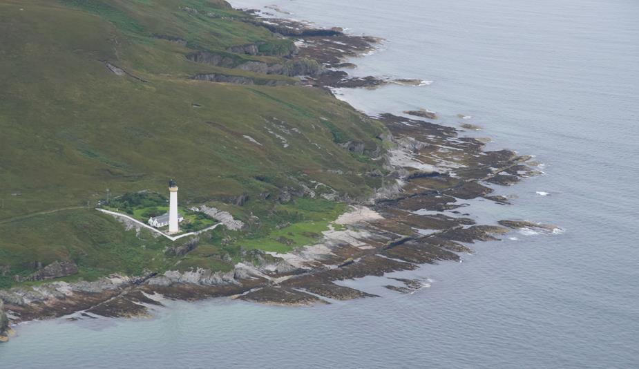
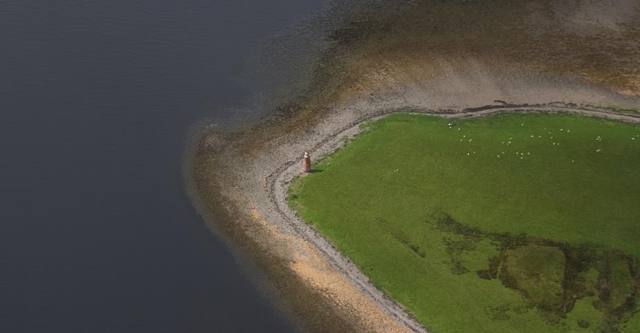
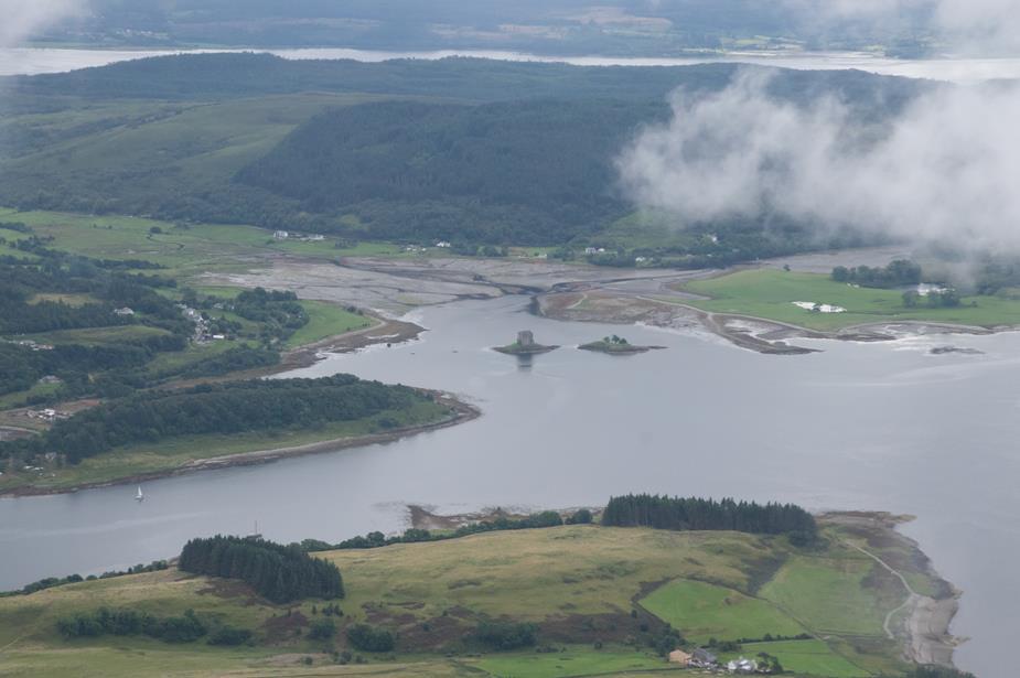
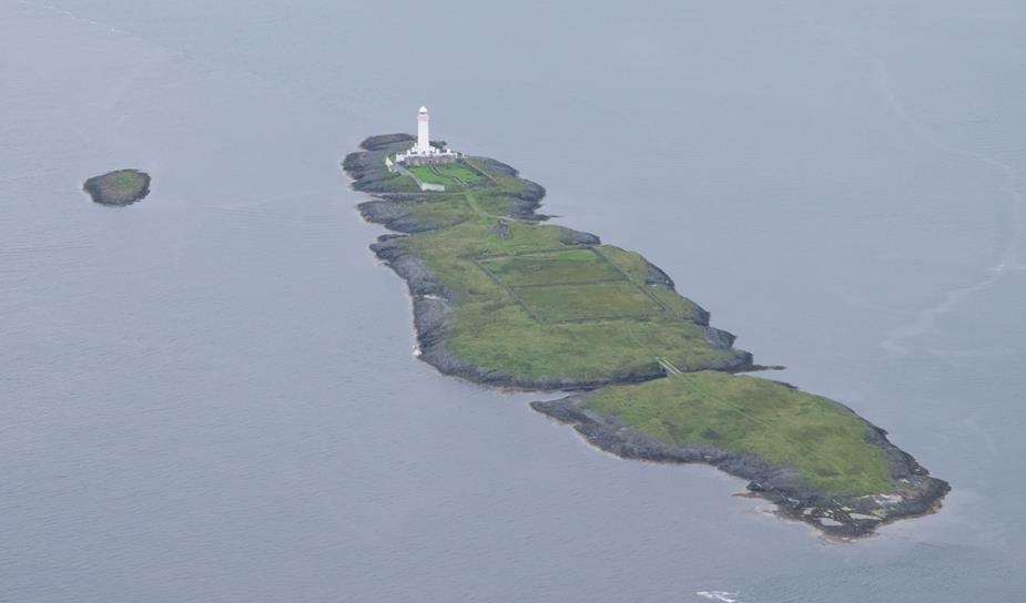
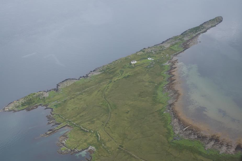
Some lighthouses close to Oban

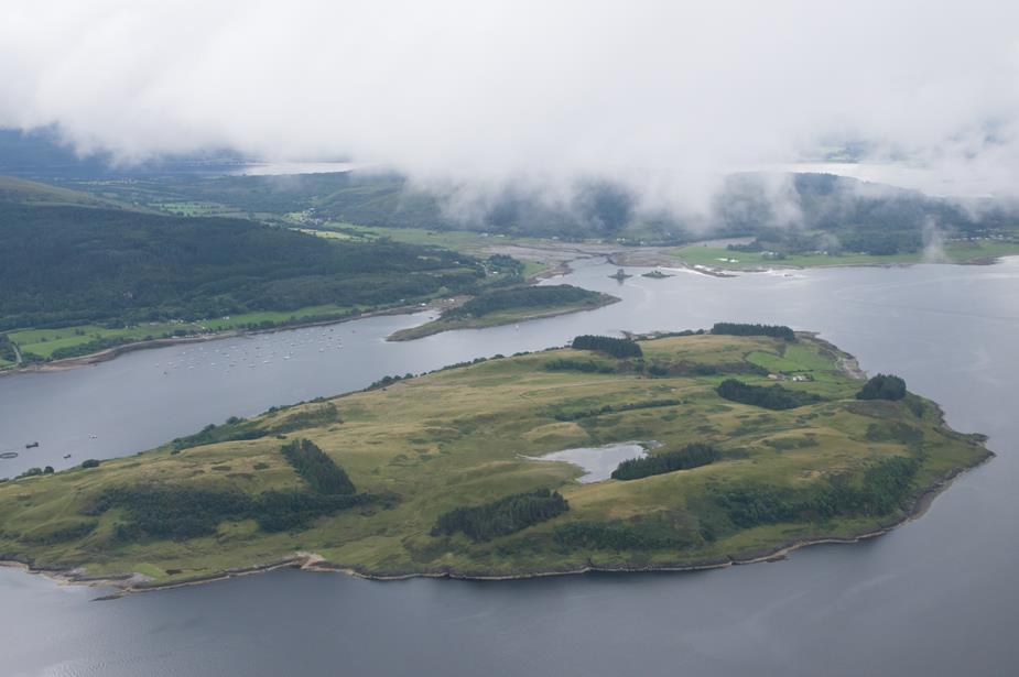
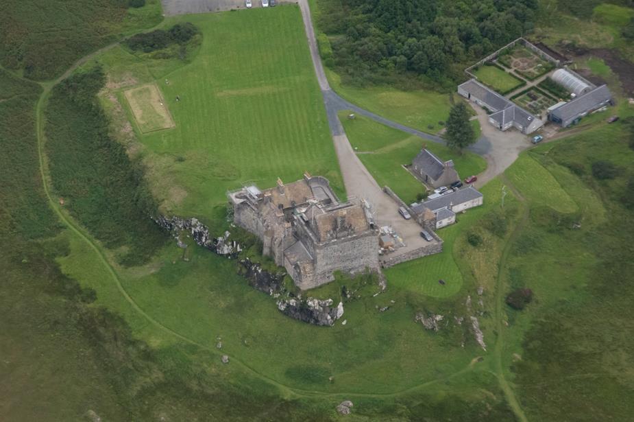
Duart Castle
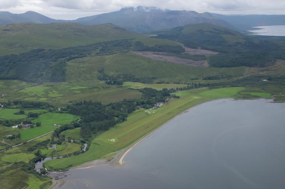
Glenforsa airfield. Given we were so close, we decided to come by and take a look. It’s a lovely airfield, in a beautiful setting, with a hotel right beside the airfield.
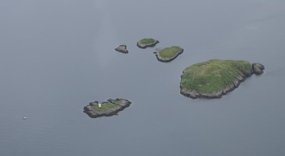
Some islands in the bay close to Glenforsa
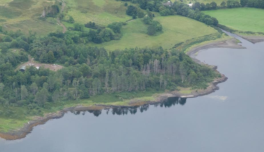
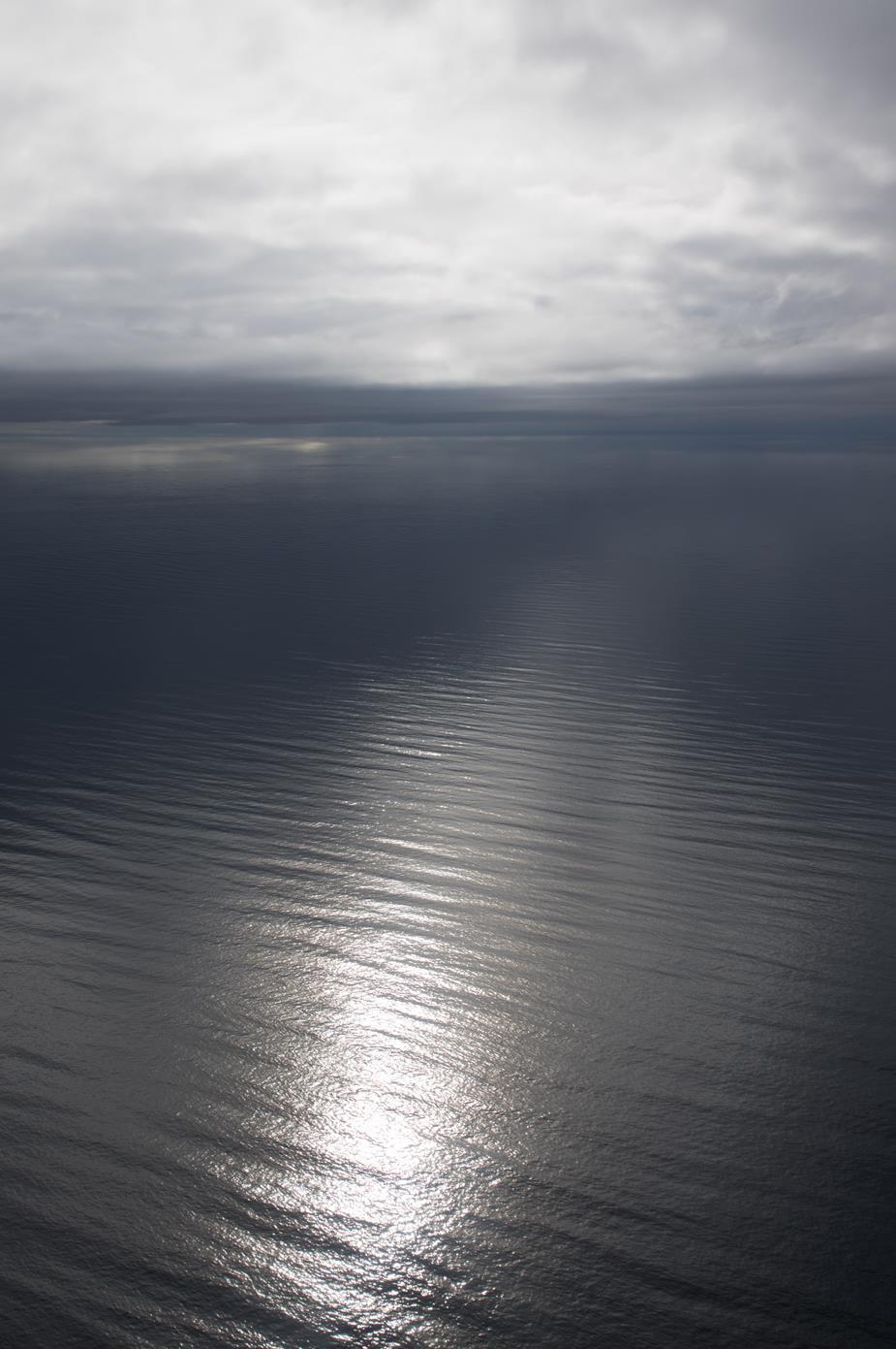
The Atlantic Ocean with water so still, you can see the reflections of the trees
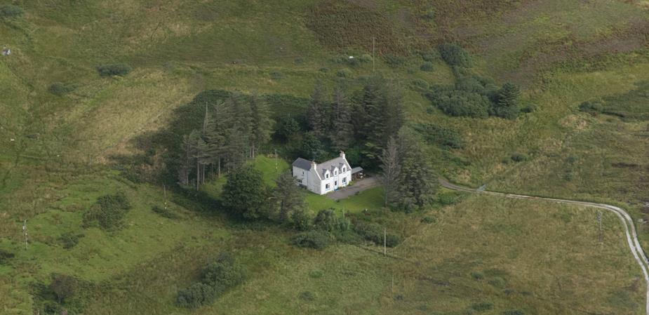
Anyone for Yoga? So we found the place of Peter’s youthful holiday mentioned earlier in this thread
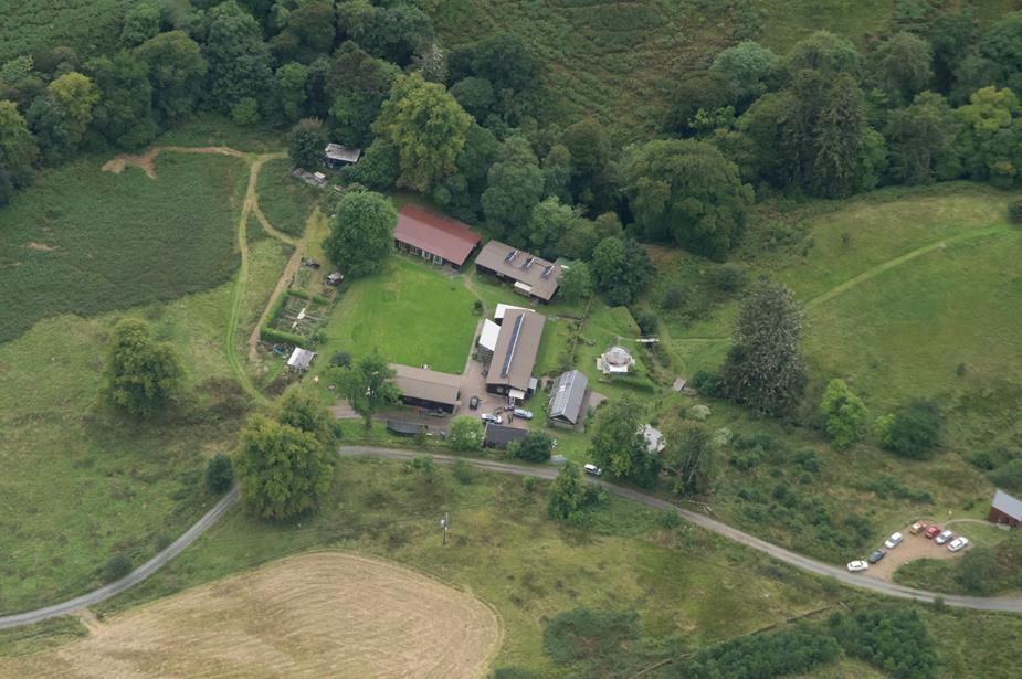
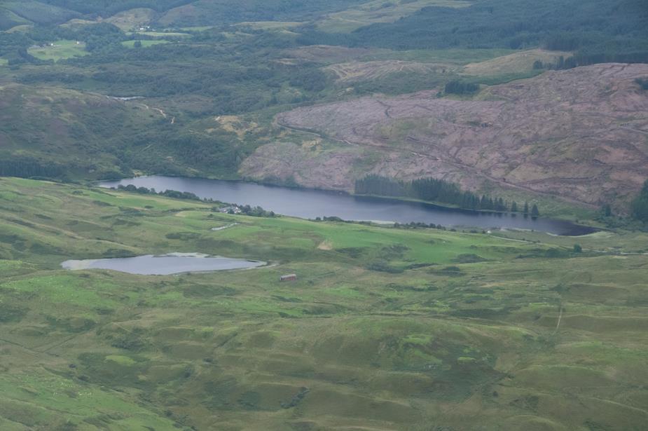
A rural existence
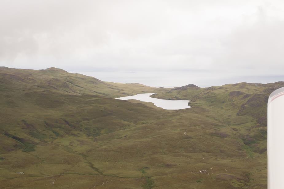
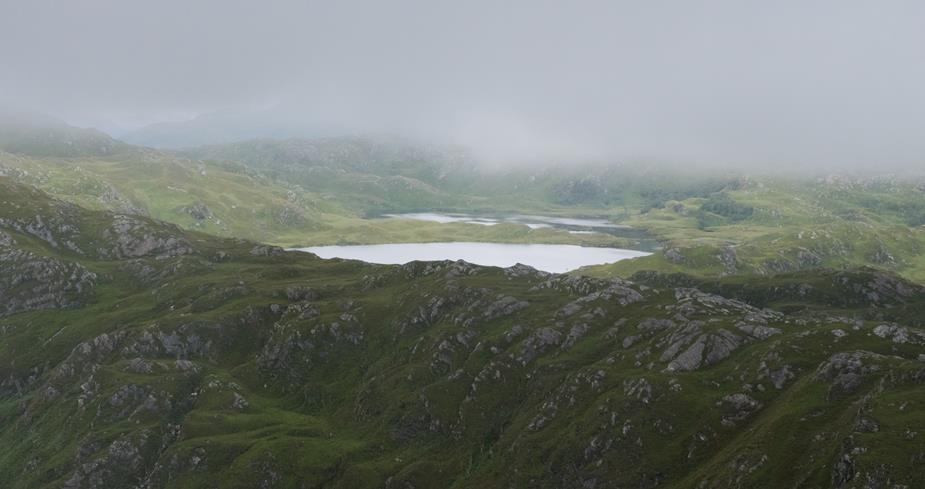
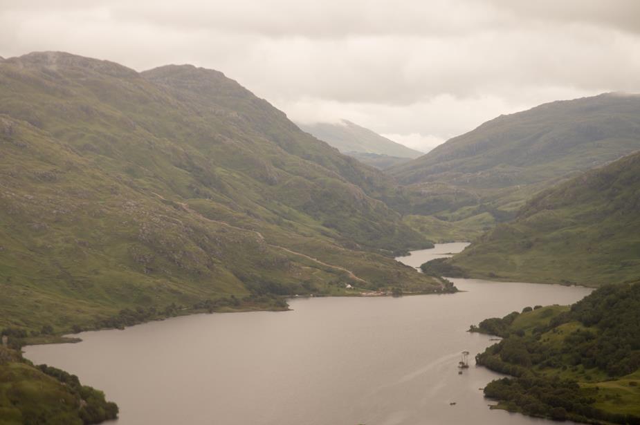
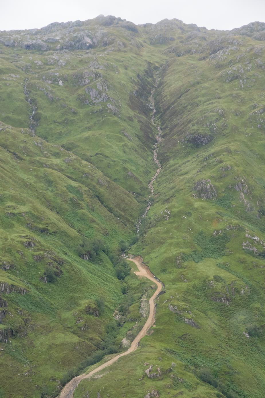
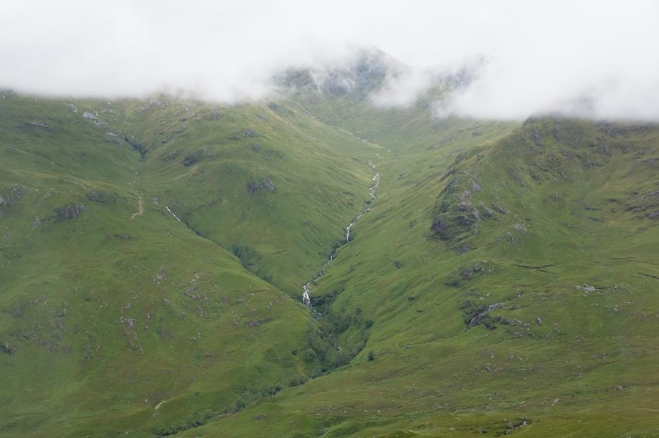
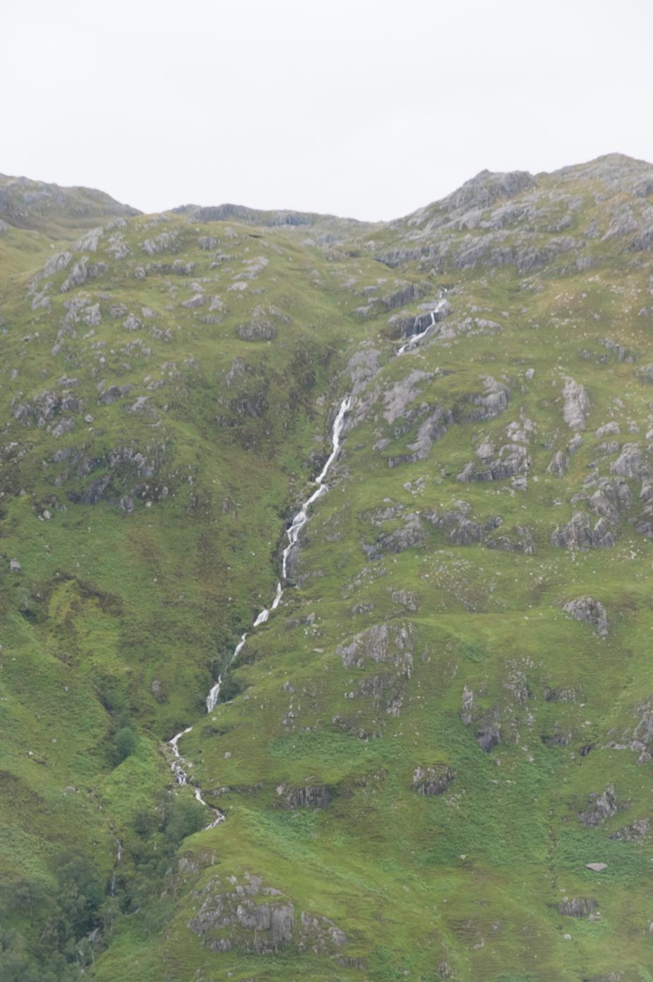
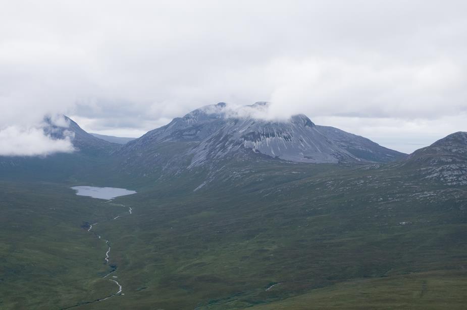
Lots of interesting mountains around here!
We’re almost done with our over water flying, and it’s the first bit of sun we’ve seen reflecting off the water!
Rathlin Island again
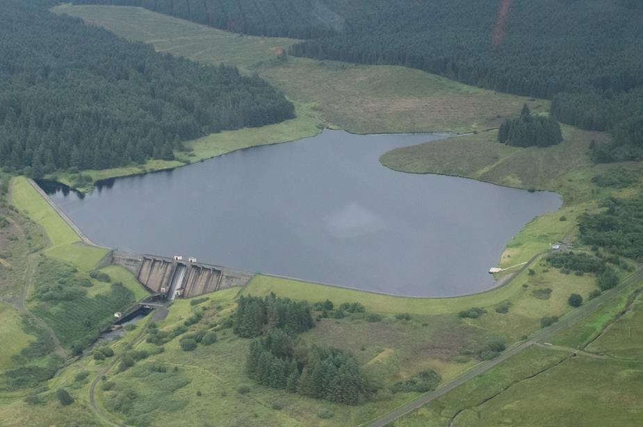
The Altnahinch Dam, Northern Ireland
We got a transit through the overhead of Belfast Aldergrove Airport, not above 2000ft
Finally back to Weston
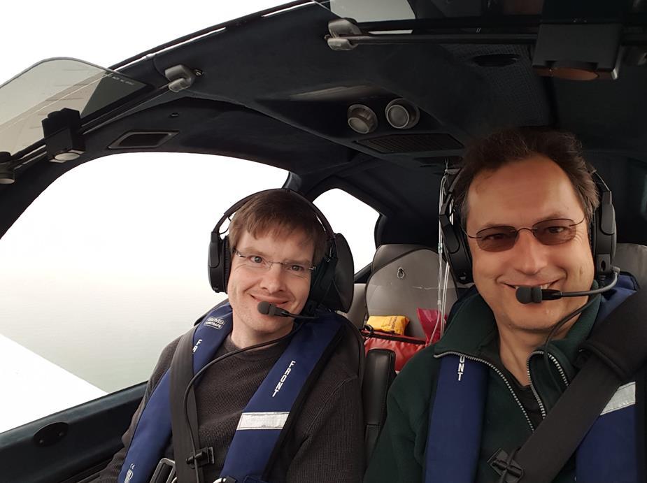
Two very happy pilots
So Scottish CAVOK then.
To add to DP’s great report (which I could not have done because if something is not on the GPS I have no idea what it is ) – the horizontal visibility was usually outstanding, at maybe 30nm, which one doesn’t get in the typical summer haze. It was also almost totally smooth air.
It was great to be flying low down. One sees so much more. One just burns about 30% more fuel.
Camera: mostly Pentax K3, then DNG raw fixed-up in Lightroom, for exposure, vibrance, blacks, noise removal, rotation.
If I can put a positive slant on the wx, it did produce good video, without parts of the image getting burnt out This is the Oban landing video, 1080P.


