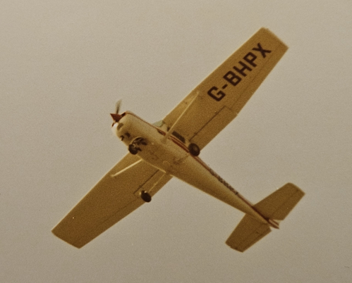
This is not anything recent. I came across this photo in a stack of film photos from the 1970s, taking this one on a Shoreham Airshow day, among the Spitfire and Vulcan photos…
I looked it up. Quite a curious one. It went missing on 13 Dec 2000.
It looks like a loss of control in IMC or a CFIT, but the unusual thing is that the wreckage was discovered 2 months later by a hiker.
The ASN website won’t currently open for some reason. In the AAIB report, “extreme disruption of the airframe” is chilling but unsurprising given the circumstances.
Since 2000 one would hope that search and rescue has improved with drones and maybe better satellite imaging (do SAR have access to it at their level?). EPIRB carriage became a requirement in 2016 for certified UK NCO aircraft so PLB ownership by pilots in the last 20+ years must have increased substantially.
Mountain rescue and the Lifeboats in the UK are manned by volunteers so are less likely to be affected by government spending cuts: e.g. aerial SAR has been relinquished by the RAF, Royal Navy, and HM Coastguard as their SH-3 Sea Kings were too old/expensive, so it is now done privately by Bristow Helicopters Ltd (22 S-92/AW189 at 10 bases).
I’ve just found the website https://sarcontacts.info/ which has international SAR on an interactive map
I knew the aircraft (rental) and the pilot. He was an experienced microlight pilot who had moved to a PPL, and owned a composite Permit aircraft. It was being fitted with a more powerful engine, and he rented the C152 for a business trip. He was Chairman of the local LAA Strut that year.
There had recently been a CAA Air Safety Night, and they used to give out sheets with the recommendation to “Fly Safety Altitude”. Staying low and dodging showers would be safer.
Two normal size guys and a liferaft probably didn’t leave much climb performance. Much poorer climb than his own aircraft. Downdraft dragging them into cloud, and hit Liathach, straight in. Weather was NW wind with snow showers. It was mainly white, not yellow as in the pic.
The professional search was short.
Mogas was not permitted at this time, due to unleaded fuel coming in. I went looking on the Saturday, but couldn’t refuel after my first flight – the AAIB had dismantled the bowser filter and broken it.
The next weekend the local LAA organised a search. Snow had fallen since the accident.
Nothing was found. I was allocated an area away from Liathach.
Barely relevant to GA, but I found this article interesting on a skim-read. SAR is good at manpower, but poor at strategy; the traditional systematic grid search used since WW2 works, but can be halved in time using a more scientific ‘lost person behaviour’ theory. Previous cases are categorised by age and activity undertaken, then analysed for distance travelled and change in elevation when found. Children normally get lost taking shortcuts, and are found within 1 mile on a generally straight line to their destination; hunters are also found in the same distance, but have followed an animal 100ft (measured vertically) downhill into dense brush. Skiers travel much farther because they want to keep warm. The conclusions are reasonably obvious, e.g. look at streams and trails first, but this approach quickly narrows the options in a systematic fashion.