I have mostly given up on being obsessed about cloud top forecasts. I mean, clouds are not a uniform thing. Often, the are not “continuous” from the bases to the (highest) tops. In other words, they are often composed of different layers, with lots of clear air between. Plus, they tend to slope, have big breaks etc. Finally, they change a lot, both over distance and time.
When they are completely stratiform and stable, clouds tend to be rather small in vertical extent.
Famous last words: “You look at the weather, and unless destination and alternate are below minimums, you fly anyway – why bother?”
Surprised this one hasn’t been mentioned:
Has anyone used the nmcsaf site to estimate cloud tops and then actually flown to check whether the data is broadly correct?
You can point and click in windy. You can use several models (and is one of the only sources having what is often described as the “best” model).
Why bother looking at a non-vertical image, of very low resolution?
Noe wrote:
www.windy.com also seems to do it
I’m a windy crack addict at this point.
Even when I’m not flying…
JohnR,
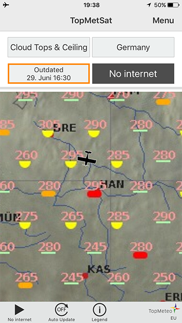
I always use the nwcsaf site to have a global picture of what alt of clouds I’ll have before flying.
I use more cloud type rather than cloud height picture since I have observed that brownish cloud layer is something I would avoid to fly in since i just can’t fly above or do not wish to fly through or above (my max, reasonable FL is 180-200)
The yellow cloud layers are usually between FL120 up to 190, again, as I have already checked before flying.
The other layers (orange and red) are low levels, max. FL100.
White layer usually is convective wx, i.e. TS, CBs confirmed as per the convective rain page.
I also cross check with weatheronline to get the temp from FL100 and 180 to figure icing potential.
I recently subscribed to flugwetter and their advice tool is great to have also a big picture by altitude.
Peter wrote:
I have never seen a site which does it correctly.
I have posted about one before on this forum. But why bother…
But your comment has prompted me to verify the analysis on a commercial flight which I was on today.
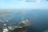
Downloaded before the flight:
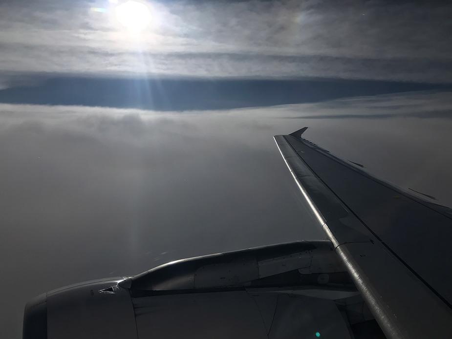
This is where we started to break out:
That is what it looked like out the window:
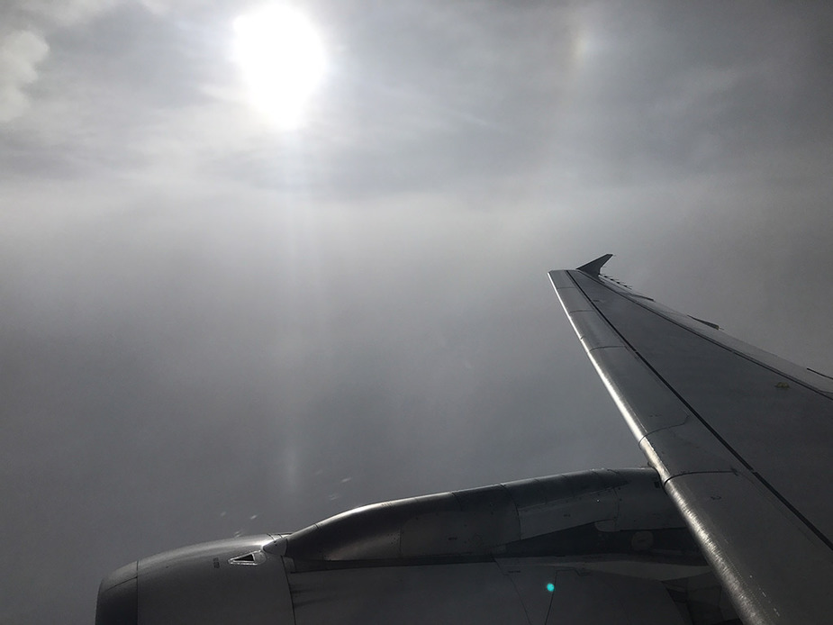
From a bit higher up, around FL300 to FL305:
I have posted about one before on this forum. But why bother
150k posts in 4.5 years and I don’t have time to read and remember everything.
Today I had to clean up some junk posted deliberately to degrade our site. I am supposed to be on holiday, Sarajevo.
I asked on the SkyVector forum about what height the grey color scale was at, and giving tops also further down than FL260 i.e. at more common GA altitudes.
I received the following answer:
“The cloud top height product is primarly a space-based observation. It only works for high-altitude (very cold) clouds, so it is deliberately limited to 26000 ft.”