
For sure, as s lighter aircraft, you very often get slam-dunk approaches where they’ve basically dealt with you as an afterthought after their “important regulars” have been serviced. It’s basically par for the course. All you can do is stay professional.
“Unable” is a very useful word to know.
Weather-related go/no-go.
When the tops are near the plane’s practical ceiling.
Convective weather.
mmgreve wrote:
NDB holdsyou can do a totally crappy job and still stay inside the box, the amount of airspace reserved for NDB holds is gigantic. Which also explains why they are never used in practice.
While en route weather is certainly a big issue for IR pilots, I would also say that transitioning from the arrival/descent stage of flight to the approach in bad weather is also something that has caused me several nasty surprises. The problem arises because approach controllers don’t always understand the limitations of GA aircraft and expect rates of descent which are not feasible and get you into situations in bad weather in which you are high and/or late for the ILS. This has happened to me in both Dublin Weston and Leeds Bradford, during the arrival of cold fronts. I have had to learn to say “unable, request vectors for wider approach”. I didnt get any exposure to this kind of thing in training.
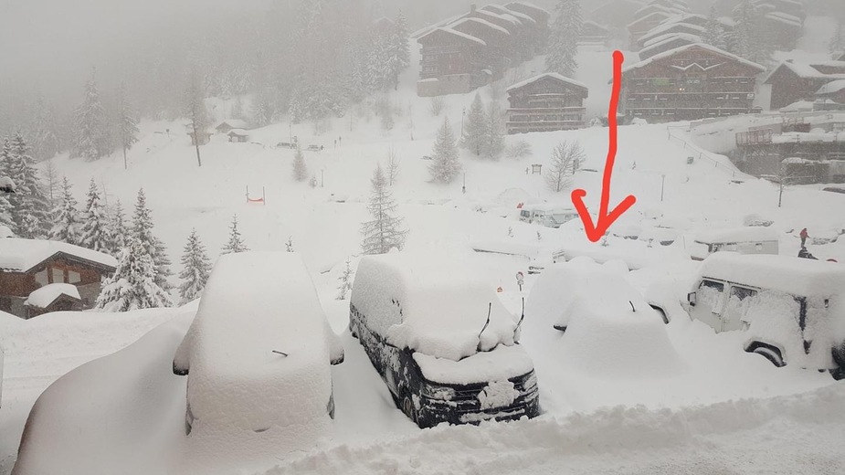
On challenging IFR weather, near Courcheval LFLJ in Dec2017 windstorm Ana, no flying but the plan was to get a taster of altiport flying and booked paraglide trial flight for Mrs, none of that happened, actually, no flying, no ski, no driving, almost no going out for full week, we could not even drive the car (the small one under the snow, that car was “dry VFR only” rental and hates altitude and black ice)
https://en.wikipedia.org/wiki/2017–18_European_windstorm_season#Storm_Ana
GFS long term & large scale for winds & pressure on 7 days horizon and ECMWF forecast of clouds & local terrain weather (but hugely overestimate UK winds) on 3 days horizon, TAF & METAR on the day or late night before
Touching the wood never got it very very wrong except few imaginary trips where I tried to guess what METAR would be from 2 days forecast before, find out it went hardcore low stratus or convective storm on the day, there are few hints in long-term forecast that fronts may suddenly appear but really not enough to take into account…
Peter wrote:
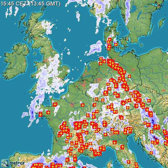
ECMWF showed this very well while NEMS & ICON didn’t.
I simply don’t trust NEMS or ICON, I’ve completely stopped checking these models. ECMWF usually gives the best forecasts although GFS is correct very often.
convective weather in combination with terrain…
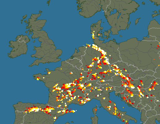
Convective wx remains the biggest issue for those stuck below say FL250.
I cancelled a flight EGKA-LDRI on Monday, 2 days ago, because the return wx for today looked too convective.
For a change  it was the right decision:
Might have worked if one departed really early say 0400 UTC.
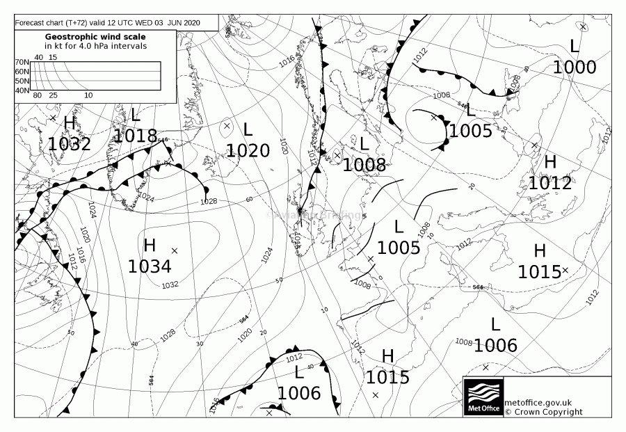
Interestingly, looking at windy.com on Monday, and also Tuesday, ECMWF showed this very well while NEMS & ICON didn’t. The UK MO MSLP charts also showed it well, as a pile of troughs all over Europe.
Staying on the ground is always the hardest part, especially when you are on a cross-country and want to get there or get home.
Going from automatic to manual flight in very poor RVR/visibility.


