I don’t understand the question. The DWD’s obviously does. No idea where Meteox gets its feed from, but I assume it’s postprocessed in some way as it’s likely that the raw data comes from the DWD.
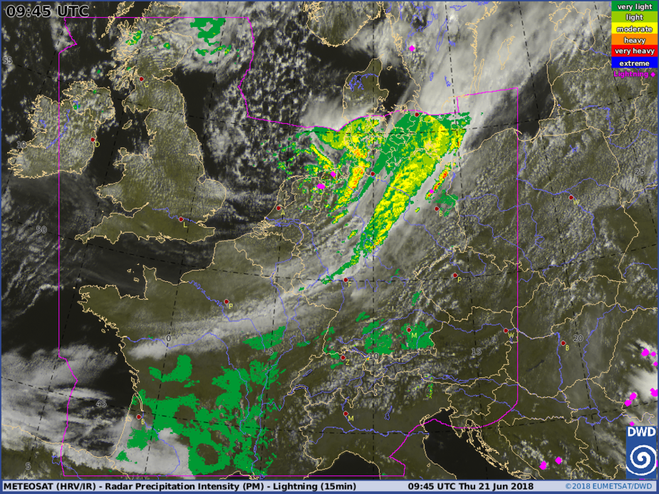
There used to be a warning on the DWD radar image saying that there is a problem with the intensity levels of precipitation between France and Germany. Now this warning is gone. Maybe they didn’t get it right on the first attempt?
The artefacts are still there on the image today, south of the cold front.