Karl_Acht wrote:
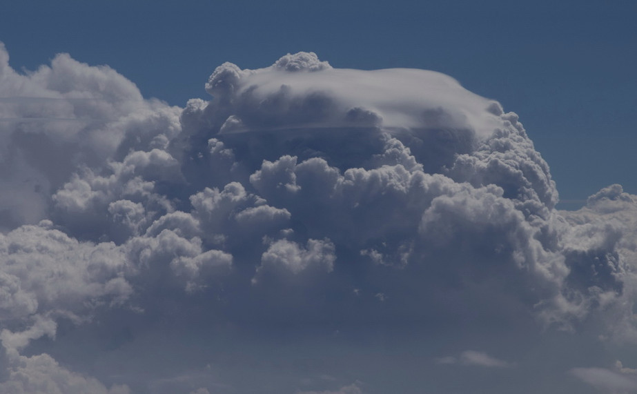
Pileus
Interesting. I read the description:
“Pilei clouds indicate the parent cloud is growing rapidly, has plenty of moisture, and is highly unstable. This means the parent cloud could quickly grow to become a cumulonimbus cloud and continue to grow into a cumulonimbus incus cloud”
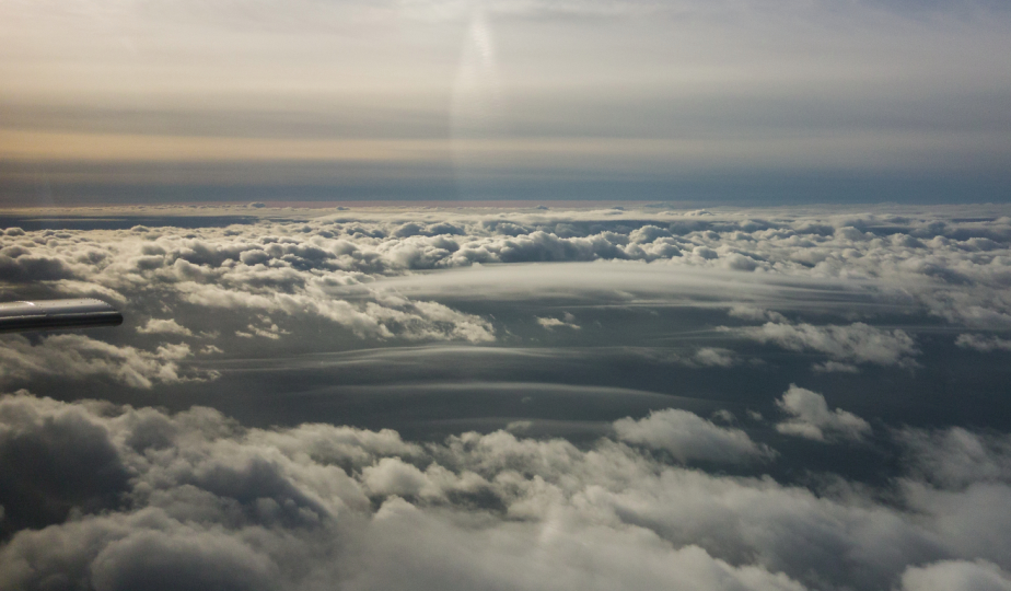
Waves in the inversion?
What are these lenticular-looking formations? There was no wind.
Pileus
What would you call this one?
Only 3 kinds of clouds outside of mountain ranges as far as I’m concerned. 1/ Those I fly through anytime, 2/those I’ll avoid if practical, 3/ those I will not fly through for any reason including ATC.
Type 3 clouds are those that show up either on downlink or onboard radar with more than green below 15k, anything above, or on the stormscope.
Type 2 clouds are things I’m sure are not Tyoe 3, usually identified visually with vertical development more than a few thousand feet above 15k with well defined contours.
Type 1 clouds is everything I’m sure is not 3 or 2.
This is not particularly scientific but it’s worked well for me so far; and I do not care at all what they’re called.
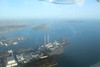
looks like cumulus powerplantensis?
Good find! Certainly not seen them before.
zuutroy wrote:
Weird cloud over EIDW at the moment. Not sure how to classify that stuff!
Seems to be a Stratocumulus Mammatus