
Justine and I popped up there yesterday.
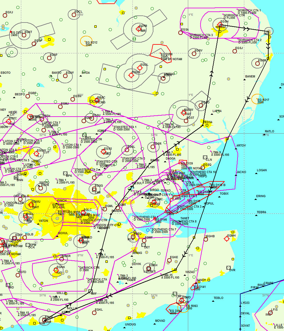
It’s a nice 1hr flight from Shoreham. On the way up, 2400ft half way and then climbing 3400 / 4400. On the way back, 5400 all the way back to see the coast and stay out of the turbulence (hot day) but it’s a longer way round
The D138 areas were inactive, which was unusual.
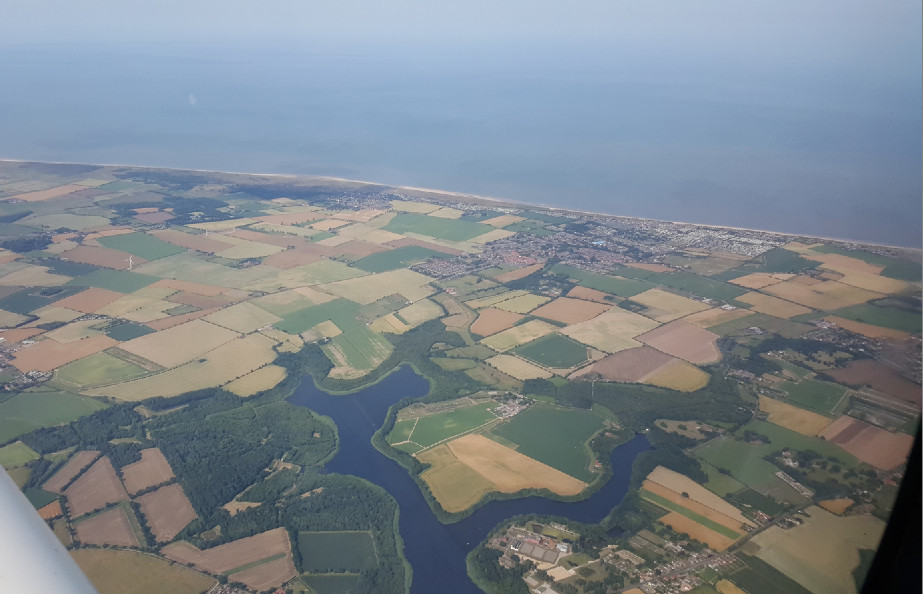
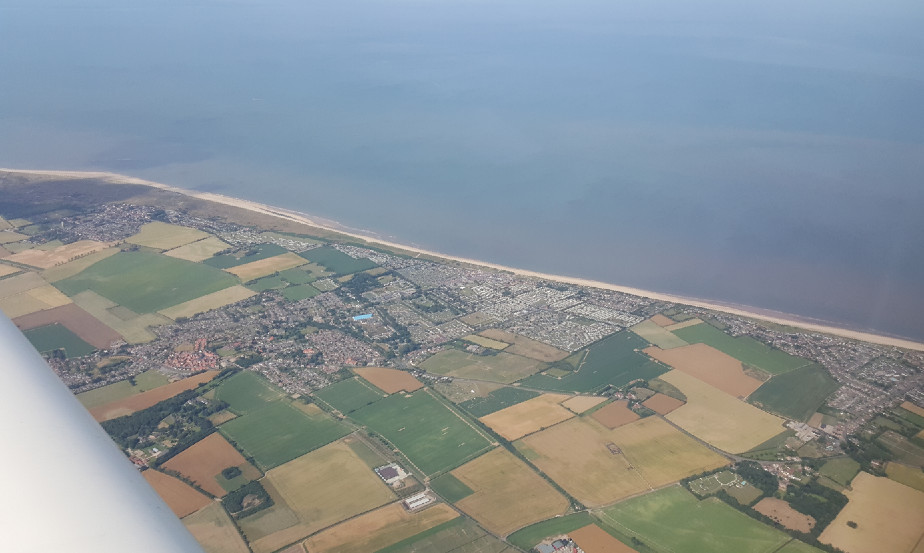
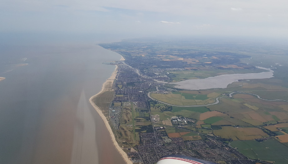
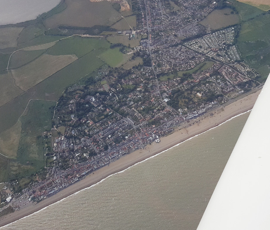
I didn’t get many pics – no decent camera was available but got a few of the coastline up there
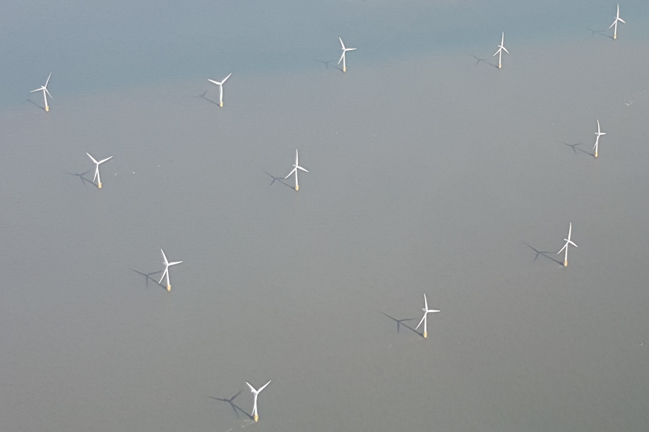
There are massive wind farms
Aldeburgh – famous for something…
Saxonair (mandatory handling) came to £43.92 made up of £30 landing+handling and £6 for 6hrs’ parking, plus VAT. It’s a very smooth, friendly and well organised setup. But almost no light GA…
The old flying club went bust a while ago, unsurprisingly since I flew to them once and they kept the £10 I paid (due to severe cash flow issues) and after some months the airport itself started to chase me for what was then a £50 landing fee.
A fun car in the car park there 
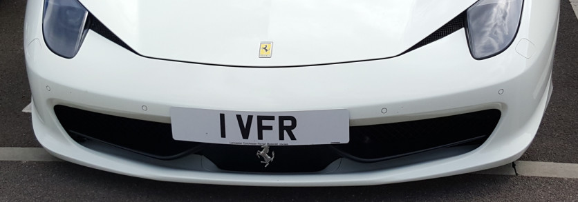
Is the plate worth more than the car? Possibly!
The TAS/TCAS system was working absolutely overtime on the way up, 2400ft. At 3400ft, no relevant traffic at all!
All VFR – the best tool for this job.
Curious: Did you talk to anybody, particularly on the way out? Monitor? Or nothing?
On the way up:
Shoreham
then nobody
Southend Radar
handover to
Norwich Radar (Wattisham etc shut at weekends; a good time for Putin to invade the UK)
On the way back:
Norwich Radar (to the limit of their radar, about 30nm)
then nobody
Southend Radar
then nobody
then Shoreham
It could have been done wholly non-radio of course (Class G) but it costs nothing to have ATC reporting traffic even if some 90% of it was on TCAS also. Also a radio contact is handy in case you screw up. Southend and Norwich both have CAS now (Class D).
On the way back, I wanted to check D138 activity (to avoid an even longer leg out over the water) and you have to call somebody for that, and the area FIS (London Info) just keeps asking you for ETAs to waypoints because they are required to run the charade of not officially seeing you on their radar.
The last leg of the return route was a continuous descent from 5400 to about 2500ft, to avoid busting the 4500ft CAS base, and to keep above the large amounts of ~2000ft traffic until the last absolutely unavoidable moment.

