
Yes; I would not climb into such a convective mass.
Well, not unless somebody would set off a nuke behind me  and then the TKS ought to do the job for long enough.
I would depart low level, underneath it. The 0C level is plenty high enough so no risk of FZRN even if you were in IMC. And much of the flight is over water so you can go “low”.
OTOH the actual wx might be very different. The gramet is often inaccurate in its depiction of clouds. They are generated from generic rules applied to the GFS model.
As to the second case, I would only feel safe flying low level for the first 80nm and only then climbing. Otherwise it is a long climb in IMC, potential icing (although not forecast by GRAMET) and the need to navigate ISOL embedded CB’s. Too many cons…With deicing, radar and a lot of power…perhaps
On the former example, even if you see your way through to 6000ft you are then likely going to enter IMC from there up to 8000ft when you reach 0C. Then you continue IMC up to perhaps 10000-11000ft , but cloud cover seems partial up there.
So the tricky part is 8000-10000 or 11000ft. That is going to be 3-5 mins in normal climb on our airplane, but that is very type-dependant. Again I would not do a normal climb but one at high IAS which may take a bit longer, then change climb mode if icing is found. Also VMC is expected ahead as confirmed by the staellite pic for that time

Last, if you ice up you can always descend over the sea into positive temps.
IN summary, I would not see it such a big issue in this case, other than: how to stay away from CB in the IMC part? Since cloud cover is low, I might feel comfortable using radar and lighning just prior to departure and GOLZE in flight. Inflight WXradar and stormscope even better but not essential, since in any case we are talking of only the first 15 mins of flight.
Yes it is an easy example since you can probably see your way through up to 6000 ft.
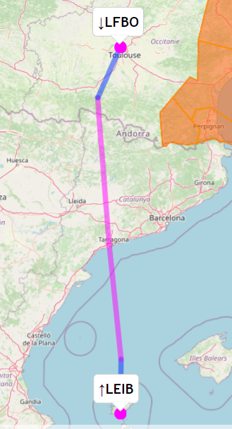
A slightly different example, similar route but different DEP at Ibiza 24h later. This is perhaps more representative of the problem in hand?

Supposedly rain turns into snow
Yes; that is another of those “mechanisms”
Snow should not cause ice accumulation, but can be like IMC.
I would depart in a VMC direction. Done that loads of times, with TCUs/CBs around.
Radar is no help unless you can take a lightning hit (airliners can and often do).
Antonio wrote:
Supposedly rain turns into snow in the climb before getting to 0CWould you see such a climb as an issue in a non-deiced turbocharged aircraft? And if NA?
In this case it appears the precipitation comes from CBs, so I wouldn’t climb into that at all (without wx radar). But with FEW it should be possible to climb in VMC at least to 6000 feet.
Take this for example.
This is what we have today at my home base LEPA 101030Z 07011KT 9000 -RA FEW025CB SCT060 16/15 Q1023 TEMPO 3000
If I plan a flight north say to Toulouse, like this with Autorouter, departing momentarily

the GRAMET cross section shows this

Supposedly rain turns into snow in the climb before getting to 0C
Would you see such a climb as an issue in a non-deiced turbocharged aircraft? And if NA?
the elephant in the room is having to come back for X reason in bad visibility with misted canopy
I don’t think so.
Yes cold GA flying is mostly done in VMC: cold IMC has to be short term buisness with nice VMC above, ahead or under
I don’t think departure in light drizzle with low shallow stratus is problematic? especially with no icing forecasted, the elephant in the room is having to come back for X reason in bad visibility with misted canopy
Departing under tick nimbostratus with heavy rain does not sound sensible airrespective of OAT:


