
Flightaware track is in the public domain. I think the “crash” point is correct
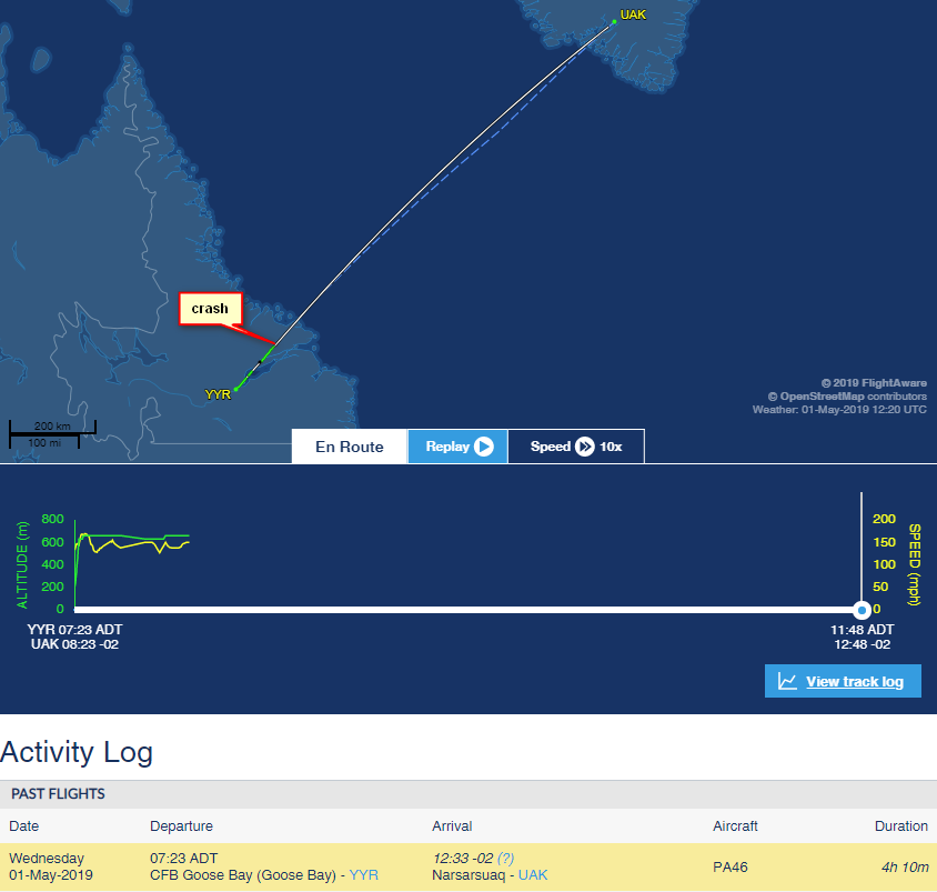
That will be when radar cover is lost. They were apparently 75km south east of Makkovic. Image shows direct track between CYYR and BGBW. Suspect it was the mountains just by the coast.
@Ibra wrote
I don’t think this explanation is the cause (looks complicated to me, sorry Timothy) but it is not the first time a pilot failed to raise/lower his gear or flaps
I don’t know what the implication is, but we went into Malaga on a full emergency with one green and the engines feathered. This was not forgetfulness.
Timothy wrote:
I don’t know what the implication is, but we went into Malaga on a full emergency with one green and the engines feathered.
So you still flew to destination with gear stuck? or diverted? or landed back?
We diverted to a major airport, did a fly-past, they said that the gear appeared to be down and we landed there with the engines feathered (in case of gear collapse).
I then inspected from the outside and was able to get three greens by pushing the down-locks in place. Sent photos to engineers, who granted a permit for a gear down ferry back to them, where it now sits.
Why the interrogation?
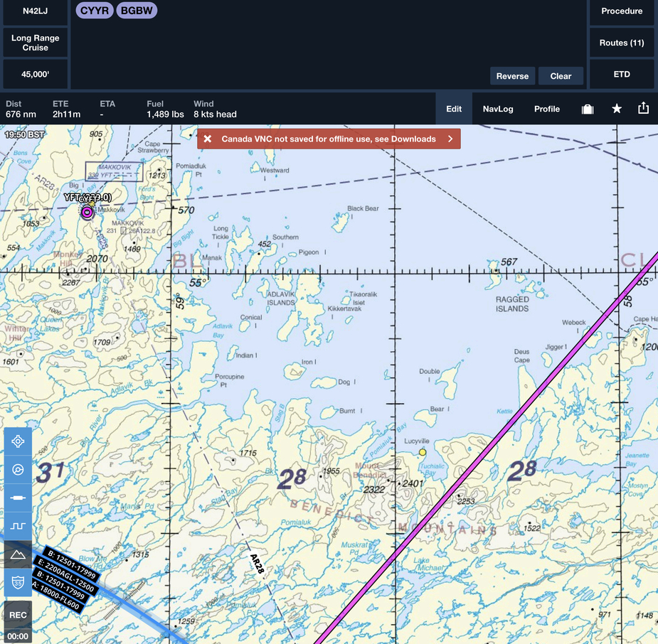
Has anyone looked at what the Skydemon terrain depiction looks like in the area of the crash?
It is a 2015 airframe, it would have G1000 with TAWS.
In that case, how is a CFIT like this possible, if you have TAWS and it is working?
TAWS will drop-out if you don’t have WAAS/SBAS.
Is that likely? Actually more than likely in Greenland…?
What if some database is no longer current?


