You may like to declare your interest, and perhaps even your location, thomasGZZ 
I’ll check how it looks like and how it works tomorrow and post here my findings.
To me, I do not trust the developers of ANP. My issues were widely acknowledged – the worst of which was that APP updates meant that links to maps were deleted and they could not be re-implemented by refreshing the databank. Instead, whole map(s) had to be re-downloaded. Not a problem if you are at home with fast broadband, not so when I was roaming in Hungary – cost me a horrendous amount and when I raised the issue to the developers, they shrugged and said ‘we are not responsible for the cost of downloads’ – as if implying that I deliberately deleted the maps. The fact that the developers didn’t even feel the need to address this issue and it popped up repeatedly over the years tells me enough. If it looks like dog’s poo, if it smells like dog’s poo, it’s probably……
There are better software solutions out there, ANP is something I wouldn’t wish on my worst enemy…..
Steve6443 wrote:
There are better software solutions out there, ANP is something I wouldn’t wish on my worst enemy…..
I have to say my more limited experience of it is similar. Just not worth the trouble when there are far better options. I am not a huge fan of Skydemon for example but it is a well built piece of software and great for many people. Why you would use ANP instead of SD is beyond me.
Posts moved from the D-ESPJ crash thread
The thing with AirNavPro is that you have many options in terms of charts. I personally use the IGN map in France. Prior I used the Jeppesen VFR+GPS when they still existed and moved to ANP in order to facilitate the acquisition of maps.
ANP do not provide their own raster chart like some other products, at least not that I know of.
The (only?) good thing about airnav pro is that one can download a multitude of maps. It’s the only way I can get ICAO map on a phone/tablet for Norway for instance. With regard to maps it is the best app available. Lots of non habitation maps also, topological etc. I don’t know what kind of maps are available in France though.
You can in Garmin Pilot, but the selection is still quite limited. I just checked and didn’t see any specific Norway charts.
Also, I haven’t used Garmin pilot for any VFR (I still use SD for that)
It’s the only way I can get ICAO map on a phone/tablet for Norway for instance
That has not been true since the earliest days of portable computing, with e.g. Oziexplorer which I used on my earliest cross-Europe VFR flights in 2003 and still run it today on a Lenovo win8 T2 tablet. I have all European VFR charts on it – the current UK CAA, IGN French, national German, Swiss, Austrian etc, the 2013 Jepp charts, topo charts from google terrain for the Alps and Pyrenees, etc.
Anybody can also calibrate their own maps for Oziexplorer, and there is a vast community of mapdata sources. It is shrinking now because google earth etc has made a lot of it redundant, but that needs an internet connection.
There are apps even for IOS though they are really basic as to what map projections they support; last time I looked there was nothing other than for rectangular (Mercator) which rules out most aviation charts except those captured from electronic sources. There is one app IIRC which reads the old OZF2 Oziexplorer files but doesn’t support any projections other than rectangular.
For Android there is Oziexplorer, and I run that on a Samsung T705 tablet and my S6 and S7 phones, all with the same above mentioned maps. There may be other apps too.
So, if there is a paper map for Norway and you can find a shop with a big scanner which doesn’t ask any questions you are done – for windows and android at least. I used to know one which did it for £10 a map. Before that, one shop charged me £400 to scan a load of maps because they knew they were copyright… but if in 2004 you wanted a GPS VFR moving map from Shoreham all the way to Crete there was no other way you could rely on.
We probably have other threads on generic moving maps but I am posting this here because ANP (which I have never seen or used) is not a unique solution for DIY mapdata.
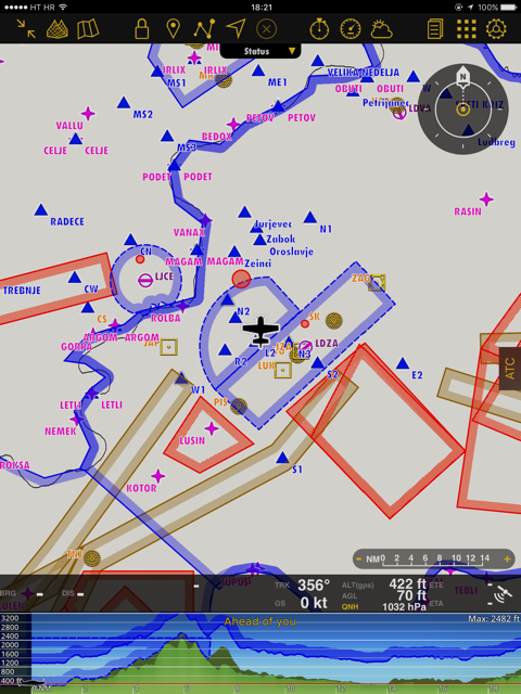
It’s more-less same as it used to be – I didn’t see much difference. Attached are pics how it looks with and without map.