Approaching Sitia LGST… wind right across the runway 05/23, as it usually is.
I ask Iraklion Approach which runway Sitia are operating. They phone them. Always helpful. It is 23. 10-20 mins later they phone them again. It is 05.
Changing to Sitia Info, they pass me the wind. Still right across the runway (give or take 5 degrees) and 20kt+, so I need to get this one right. I tell them I am landing on 23.
I fly a left base and land.
ATC: “Where are you? We can’t see you”
Me: “I have landed”
A long pause, then laughter on the radio.

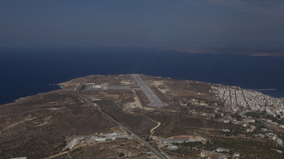
Ok Peter, I’ll confess: i don’t understand your post, where did you land in the end? There isn’t an airport near LGST that could easily be mistaken with it, and from the scrambled Google Earth image I doubt you landed on a taxiway…
I landed on 05
Ahah! Oh well. Better that than forgetting to lower the gear.
I’m not sure it’s bullet proof but even in VMC I dial the runway heading on my HSI. It helps me checking which way round to do my turns in a join !
I always did that too – set the HSI course pointer to the runway.
But on an EHSI you can’t do that unless you deselect the NAV mode (or some equivalent operation).
I seem to be doing this more often nowadays. Mostly corrected before landing, but not always.
I now draw the runway on the bottom corner of my kneeboard paper, a short line with the runway numbers at each end and arrows showing left hand or right hand. This is quicker than looking at the approach chart. I also convert the runway number to a heading: 13 is 130 degrees so must be that side… It still doesn’t stop it happening though.
Examples and possible reasons:
The whole debate of MAP vs GPS relates to the difference between situational awareness (moving map GPS = SA) and classical navigation (fixed MAP chart = NAV), most of that debate can be summarized as how good you are in switching between Track-UP vs North-UP
You should be able to have the two pictures at the same time, but few of us will manage it that quickly 
I get similar confusion while flying with respect to NDB with RBI or RMI or to VOR with CDI vs HSI, while I prefer the latter once you try visualizing it on fixed North-UP map you get surprised about left vs right
Flying in the US, I always have a paper copy of the wonderful AF/D (Airfield Facility Directory) to hand. On the appropriate page, I draw a little diagram just like the one Capitane describes with arrows for the pattern direction. This is for a good reason, which in my case might be related to being a left hander, having experienced similar circumstances to Peter’s story. More than once, taxying at an unfamiliar airport, I’ve had the controller say “OK, use any runway”!
Another gotcha is to get the wind from a nearby airport when flying to one that doesn’t report the wx. Caught me out once flying into LEJU and having the LEZL wind….. they could not have been more different…..
Ibra wrote:
most of that debate can be summarized as how good you are in switching between Track-UP vs North-UP
Why? Just switch the GPS to north-up mode. As an aside, ForeFlight (at least the US version, don’t know about the EU one) can show extended rwy centerlines.
172driver wrote:
Why? Just switch the GPS to north-up mode
Then you start to confuse left/right turns which is easy to spot than runway heading