
I posted a call for beta users a couple of weeks ago, some of you helped us out by doing some testing. It's been great getting feedback from users, we love it.
I'm happy to announce we've released UkRunways EFB. It is available from the Apple App Store immediately: - download it now for a one month unlimited trial, including NATS VFR charts and Pooleys Flight Guide and AIP for UK, Ireland, France, Belgium, the Netherlands and Germany.
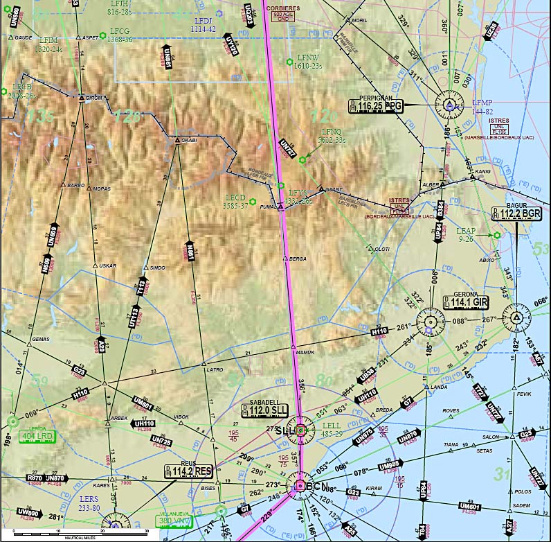
UkRunways is the Electronic Flight Bag, Flight Planner and GPS Navigator you have been waiting for. Featuring the official NATS VFR maps and complete set of AIP documents, you have everything you need to brief, plan and fly your flight.
It is the product of years of development by private, commercial and military fixed wing and helicopter pilots and tested by thousands of real world users of our original OzRunways, which UkRunways is derived from.
I have been using OzRunways for a couple years and I like it a lot.
I hope that UkRunways will prove to be as good (and as popular) as its "older Antipodean brother" :)
Looks like a nice app.
How can it be free?
The 3 UK 1:500k maps are about £50 to buy. I don't recall the Memory Map price for them but it is similar.
Otherwise it looks a much nicer GPS moving map for the UK charts than Memory Map which is badly implemented on the Ipad.
Any plans to do European charts? This I think is a real marketing issue because even if most people don't go abroad much, they are reluctant to spend money (or time) on a product which doesn't cover all their requirements.
This for example is why I continue to use Navbox for VFR flight planning. It has all of Europe. It is naff as a GPS moving map but is fine as a ground based VFR planner (in conjunction with the "real" printed charts obviously).
Also, have you done an overlay database of waypoints? If you are running the UK charts, they are not available as a layered database, so for flight planning, where you want to be able to click on say an airport and load it into a flight plan, you need a database so that the app can recognise that the spot you clicked on the map is an airport - etc.
I suggest you "have a play" with OzRunways (download from Apple Store for a free 30-day trial). I imagine the aim is for UkRunwys (and EuRunways ?!) to provide similar functionality as OzRunways app offers today.
PS I use OzRunways with the IFR upgrade. At AU$100 for a 12-month subscription it is almost exactly 1/3rd of the price one has to pay for a subscription to JeppView Electronic Charts for Australia.
In the UK there is already Skydemon which seems to do most of the same things....(also covers the most of Europe, the US, NZ, RSA etc...) with VFR and IFR maps, W&B etc....pretty hard to beat IMO
@Peter: we're not free. The trial is free, the price is £75 per year, which includes the NATS 1:500k maps. Pooleys flight guide and the NATS 1:250k are add-on products. The Apple App Store doesn't have an explicit 'freemium' category, so it's either free or pay up front.
@Antek: cheers mate. UkRunways is OzRunways with some tweaks and other data set. We expect to add all of the goodness which we haven't enabled just yet over the next couple of months.
All the VFR and IFR maps and W&B are there from day one, of course. The UK is just the starting point.
@Peter - addressing some more questions:
We're proud of our moving map implementation. We have some special sauce and awesome coders working on it. We keep on improving the way it works, we're never satisfied.
Other maps will come soon. The maps themselves are relatively easy, the other data, the waypoints, airspace shapes, and other layers we use need some more testing. We have almost everything we need - but safety and quality are more important to us than hastily putting up a product which disappoints or makes you fly into controlled airspace.
Is it possible to print off sections of the UK CAA maps?
With Memory Map I can do that - even to the correct scale.
I know printing from an Ipad is fraught with problems. I have spent way too much time trying to get it to work to a Canon inkjet, an HP colour laser, or even just to a plain PDF, mostly without success. There used to be PDF print apps but those I tried didn't work properly and I believe Apple chucked some out of the app shop when people wrote Airprint printers which produced a PDF...
But there ought to be a way, using the same NATS license, even if it means running a PC app i.e. sidestepping the Ipad world totally. Do you get your UK maps in QCT or QC3 format?
But paying £75 for the data in electronic form only is no good, because how do you do a backup for a flight?
You can print the maps, but only the visible portion and not to scale at this moment. This has been requested a lot, so it's on our list of things to make better.
I use handyPrint to be able to print to all printers I have, works a treat. They're not in the app store, but google finds them readily. I've never had access to a printer which directly supports AirPrint.
You're not paying for just the data, you're paying for the software - I'm quite sure we add a lot to the 'just paper' experience. Well worth it, IMO.
Handyprint appears to need a Mac (OSX) machine.
I just wonder what is the latest situation re printing from an Ipad.
Obviously it's possible only via WIFI so the printer has to be either standalone on a print server (or equivalent functionality e.g. plugged into the back of a router with a printer port) or be attached to a networked computer.
Obviously you need the ability to print out a routepack (plog etc) and being able to print out "strip charts" (sections of the "real" VFR chart, automatically stepped along the planned route, with a little overlap) would be a brilliant function.
That is a brilliant feature of the otherwise clunky Flitestar - for IFR; example. For VFR, displaying the Jepp Raster Charts, they have disabled the strip chart functionality......


