Cool 
RobertL18C wrote:
The Sperling seems a refined version (single strut for example) of the Piper Vagabond or Aeronca Chief, with the extra horses of a C-90. What is the history of the type?
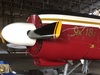
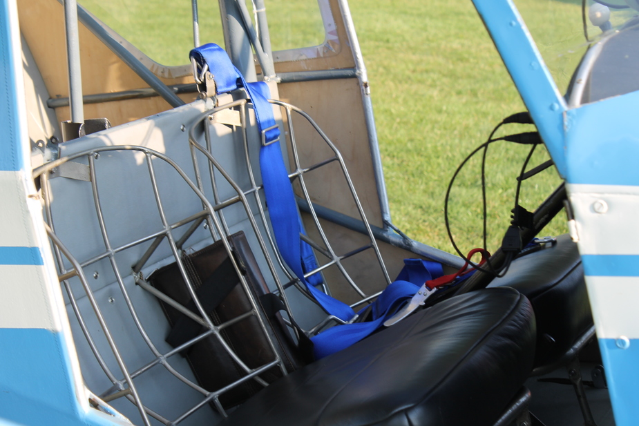
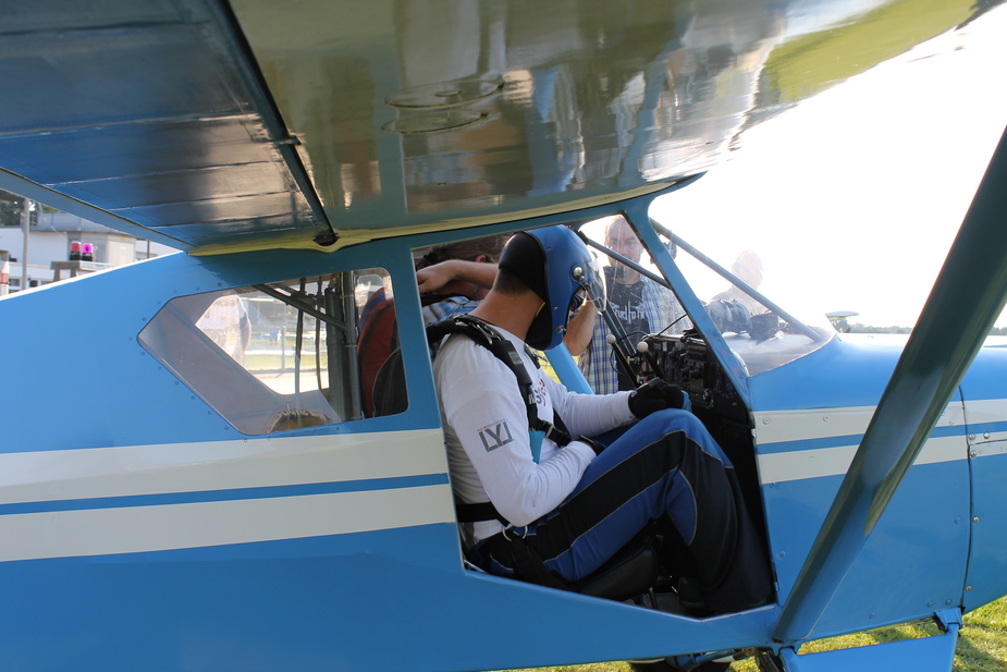
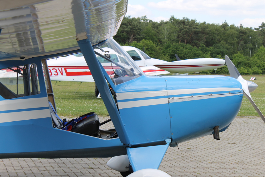
Where Mr. Scheibe got his inspiration from I don’t know. The wingspan is somewhere between the Vagabond and the Chief, as is the fuselage length. The Sperling has a quite high load on the tailwheel, so that you need full power to lift the tail with engine power. This manoeuvre can become handy if you need to turn on one spot, because the tailwheel can’t be rotated freely. You then need to lift the tail and apply differential breaking and rudder to turn the aircraft.In contrast to the Chief and the Vagabond, the SF23 is certified for basic aerobatics and can be equipped with a hook for towing gliders and banners. Furthermore the Sperling can be flown without doors and it is certified for lifting parachuters, although at one skydiver at a time she isn’t very effective in this role. For this operation you can remove the copilot stick with just removing one screw. In order to fit with a parachute you can easily take out the back cushion.
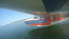
Flying without doors:
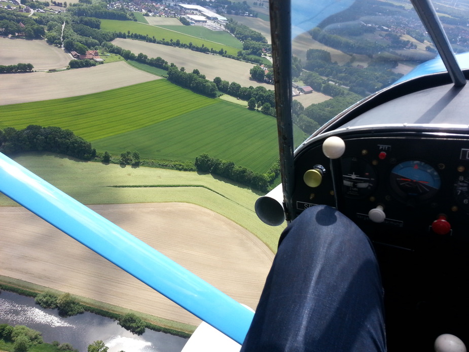
Without doors, it makes an excellent Foto-platform:
Originally the aircraft (SF23A) had no flaps at all and the C90, while this SF23A1 (the only one left in this configuration) has split flaps. There were versions with an O-200 (SF23B) and O-235 (SF23C), too. The higher power was mainly to improve glider towing and aerobatic performance. The SF23A1 has two 38l tanks in the wing with just a clear tube to observe fuel levels. Please take notice of the two larger installations visible in the rear window:
Those are indeed slip tanks to ensure fuel delivery to the engine during a side slip. They last for about two minutes in a power-on sideslip or around five minutes in a normal approach slip. The maximum sideslip angle is impressive and together with the split flaps allows for very steep approaches, if necessary.
RobertL18C wrote:
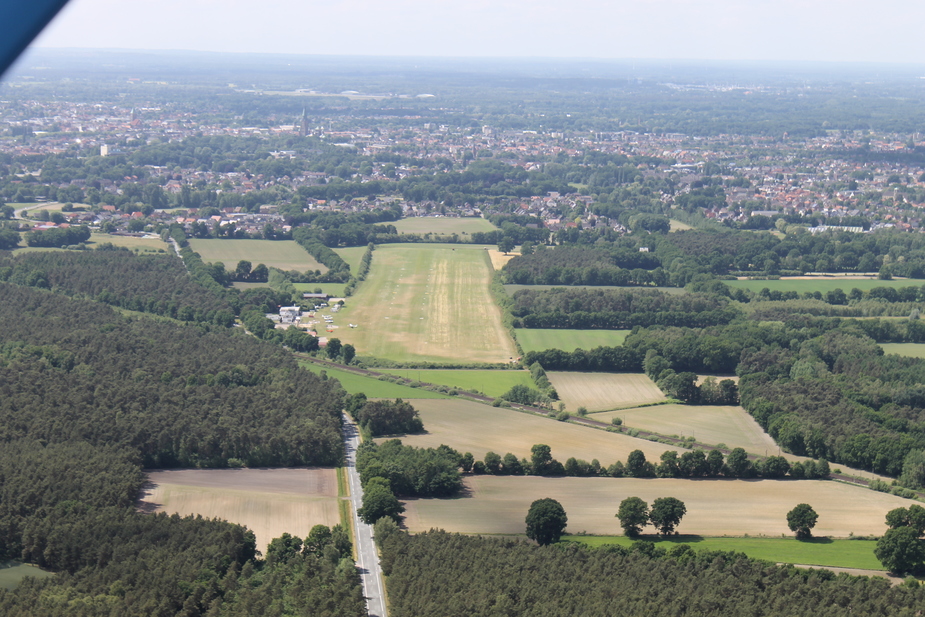
I didn’t know about the Dutch Alps, makes the Wicklow Mountains look positively Himalayan.
Oh that’s just a touristic description by the people who live there. Winterberg is one of the bigger skiing areas in North Rhine-Westfalia and in skiing season many Dutch people come there for holidays, quite similar to many Germans travel into the Alps for skiing, hence the name.
Lovely write up many thanks
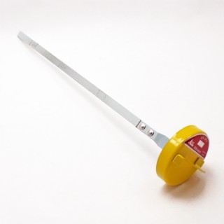
We changed the oil dipstick to these.
http://shop.airworlduk.com/continental-dipstick—-long-neck-303963-2169-p.asp
They have a flange on which makes them easier to close properly
Very nice writeup!
I also always fly with a complete navigation log and occasionally do a cross country without GPS just for the fun of it.
I also fly with complete navigation plan/log whether VFR or IFR, and a line on the map.
Brilliant write up! Thanks so much for posting.
Do you normally fly without GPS, or was this a personal challenge? Either way, it’s a testamount to a map & compass. Well done!
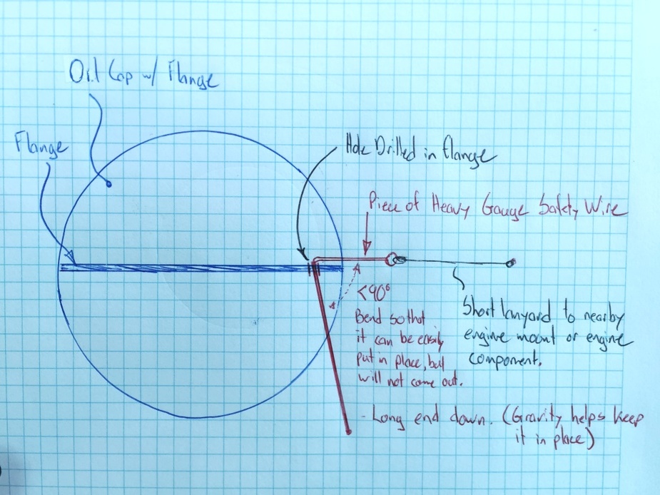
@mh Sorry I don’t have a picture of the cap, but I have included a basic sketch of how it was laid out. The oil cap was the type from the long dipsticks referred to earlier in the thread (see picture). If you make one, you might have to adjust the radius of the lanyard and the bend in the wire, but ours seemed work well. It seemed that that the combination of the bend angle, radius of lanyard, and length of tail on the wire were a clever arrangement that just slide ‘on’, but didn’t slide ‘off’ if you rotated the oil cap.
dublinpilot wrote:
Do you normally fly without GPS, or was this a personal challenge?
This was for personal fun. I am not an opponent of GPS navigation, if that is what you asked. In fact, I have been to UK the week before (writeup is following), using anything from VORs, NDBs, DMEs and two GPS. I think you should be proficient in the use of any tool that is available to you and the use of GPS is part of what we teach our students, although tablet software like Skydemon isn’t allowed with our examiners, so I show these possibilities to our new pilots usually after the skill test. Most people just need the length of a cup of coffee to “get” Skydemon.
But on the other hand I love flying with these basic tools and seeing all works out as planned and you arrive where you want to go is very gratifying. If you find pleasure in these challenges I can only recommend doing a tour like this. If not, then not. After all, most of “our” aviation is all about dialling “10” on the fun-o-meter after the flight, isn’t it?
@Canuck Ah thank you very much, I’ll see what we will do about the caps :-)
Thanks. I was just curious as you used SD to layout your route (shown in your screenshot), but not inflight. Was just curious if you use it for planning and not in flight, or you use sometimes in flight and sometimes not.