I see some UK guides and an Italian one are also sold separately. What about the other countries? No airfield charts for them?
I can’t find any similar info (list of additions) for EasyVFR so they either have everything included or they don’t publish it.
South Africa, Norway, France, Croatia, Spain, Italy, Bulgaria & Romania have free VAC charts that I have downloaded (and used for most of them). The general rule (EUrope) is that if the charts are available in EAD they are in SD as well.
Vladimir wrote:
What about the other countries? No airfield charts for them?I can’t find any similar info (list of additions) for EasyVFR so they either have everything included or they don’t publish it.
UK, Norway, Sweden, Netherlands, Belgium and France (at least) have free charts in EasyVFR.Germany and Switzerland require subscription.
Vladimir,
As LeSving said, VFR approach charts are included with EasyVFR. The only ones you pay extra for are Germany & Switzerland (same as SD I think).
We also include the Pooley’s UK guide free of charge.
The only things that I can think of off hand that are additional to the subscription for EasyVFR, are the German & Swiss approach plates, and if you want to buy an ICAO chart instead of using our included vector charts.
If you don’t get a full Frequent Flyer Membership, and instead buy a licence that allows you to only use it on Android or on iOS, then you also need to pay €7.99 to be allowed file (unlimited number of) flight plans. Flight plan filing is included free in our normal Frequent Flyer Membership.
Apart from that I can’t think of anything else that you need to pay for.
Colm
Vladimir wrote:
IFR approach plates? Or VFR VAC charts?
I meant VAC
Cobalt wrote:
based on a few years of SkyDemon use for VFR trips around Uk, Ireland, BeNeLux, France, Germany and on my current trip to Norway:Airspace and airport data is great. Terrain and road data was very poor in the past to the point it was useless (roads and coastlines sometimes miles away from real life) but has improved recently.
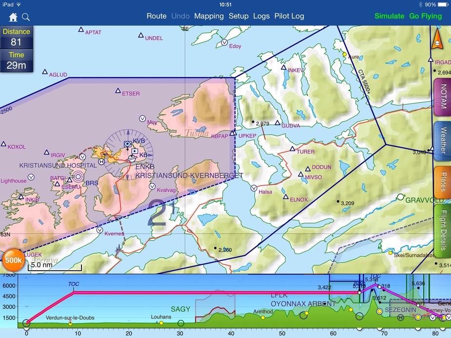
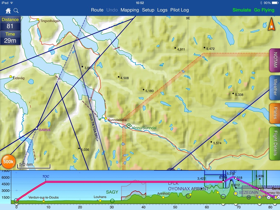
Missed this one earlier. The normal VFR maps in Norway is not the ICAO map, but military low flying maps called M517 maps. They are 1:250 000 scale and contains some additional information as well as being more detailed. I have not seen any digital use of these maps (regrettably, but I know the ambulance helicopters have their own complete map system based on this), so the ICAO map is the next best. Both M517 and ICAO contain power lines which is a vital information if you want to fly VFR into the fjords.
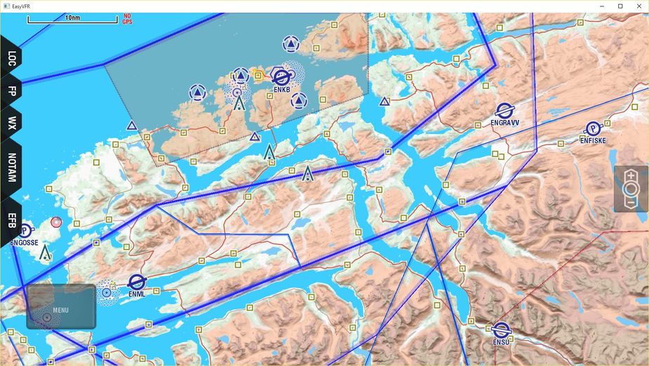
The base map for EasyVFR including obstacles (not a single power line in sight):
Then the ICAO map where I have circled the lines that are above 500 feet:
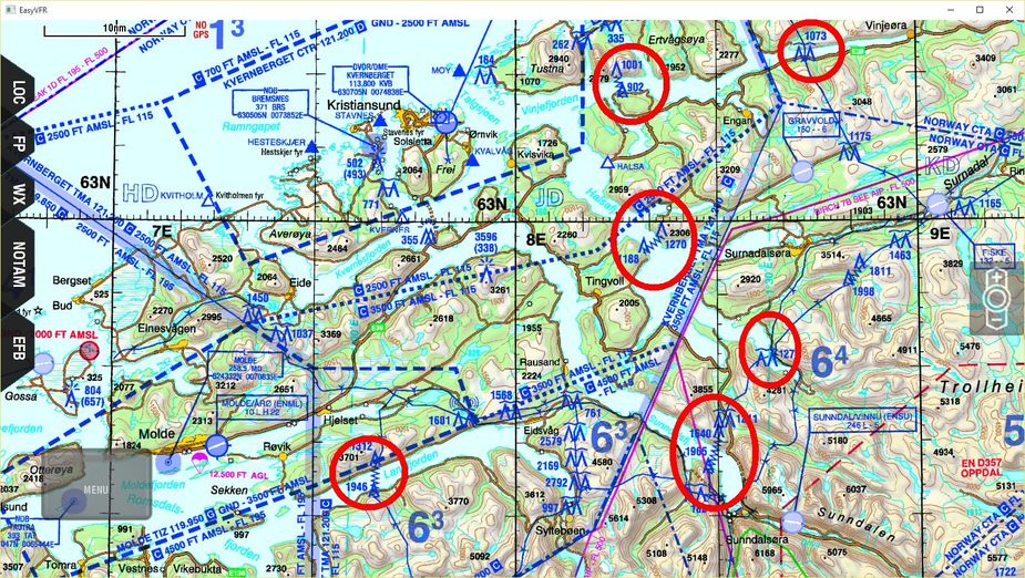
This is just a small example, there are loads of them. You fly along a nice fjord at 700 feet, then bang, half your wing is gone. It has happened several times and is probably the single most dangerous thing about flying in Norway.
The digital data for these lines (all lines in Norway in fact) is freely available for anyone to use at will. It is found at http://kartverket.no/Kart/Nasjonalt-register-over-luftfartshindre/ and the data itself (in SOSI format, whatever that is).
This data is also available online in a clickable and configurable map application here. (it is a general online map with tons of configurations).
Power Lines depiction.
yep, shorrick beat me to it. The altitude of the powerlines is even available.
next ? 
Shorrick_Mk2 wrote:
Power Lines depiction.
Are you on a mission here trying to make me feel like a complete tard  He he. Reluctantly I have to admit that there is maybe an ever so slight possibility I have underestimated Sky Demon just a tiny bit.
Power lines: check
Small airfields: check
M517 map (or similar map for other countries, at least ICAO): not checked.
But OK, SD is perhaps better than it looks at first sight.
I’m trying to help you avoid powerlines and have enough resources to complete your flying missions spending time relaxed looking out the window (as it should be) rather than at a map :-)
Mapping can be configured to UK CAA, French SIA, German DFS, US Sectional and Italian Avioportolano VFR.