What do you think about windy’s cross-section visualisation (similar to GRAMET) for ECMWF? You can get it by entering departure and destination airports ICAO codes into “Search” field (web version of windy) and then choosing VFR in the bottom and setting the speed. Has anybody compared it with real life like we did in the past with GRAMET?
Below is the pic of today’s LDVA LDLO flight showing in parallel cross-section and clouds view.
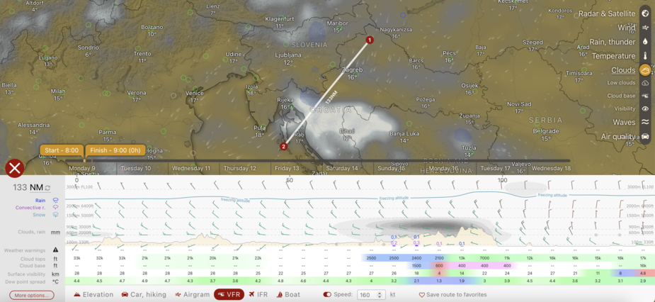
I find it’s OK, especially if the flight track is perpendicular to frontal lines rather than parallel to them…I still try to use XY+t and Z+t views for layers and metrograms to look “nearby” and change “timing” as well as TAF/METAR
Before someone says it, it does not work with very localized fog, patchy thunderstorms, terrain and valleys with 10QNH deltas and some home-bases where the weather seems to be decided by the dude in charge 
@Emir according to my personal experience I’d say forget it.
The main problem is that it indicates a single data set out of a weather forecast. And weather may be like this or not. I made several attempts where I tried to run around weather as forecast on windy and visualized by windy, but it was in fact worse as forecast and clouds at different places than forecast.
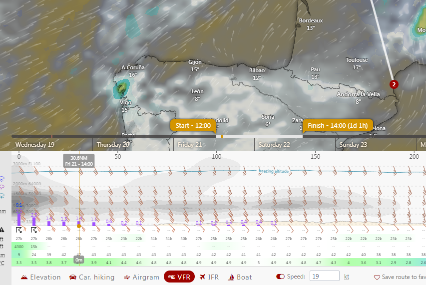
Just look in the picture you provided: set the line 10 miles to northwest and you get a totally different cross-section. That will not be like this in reality.
To the contrary cross-sections provided for flight weather forecasts (such as on DWD) comprise some analysis, so that you can assume that the weather will be as indicated or better. At least to my experience on alps crossings it was quite a lot of times exactly as provided by DWD.
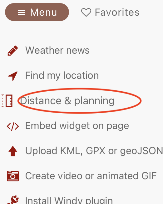
Does anyone know how to draw a route on windy.com and get the 3D profile of cloud etc along it – iow a “gramet”? AFAIK it is possible somehow. Above post shows a straight line version.
I struggle to make the UI work to do anything useful anyway. How do you move the Start and Finish bars?
Peter wrote:
Does anyone know how to draw a route on windy.com and get the 3D profile of cloud etc along it – iow a “gramet”? AFAIK it is possible somehow. Above post shows a straight line version.

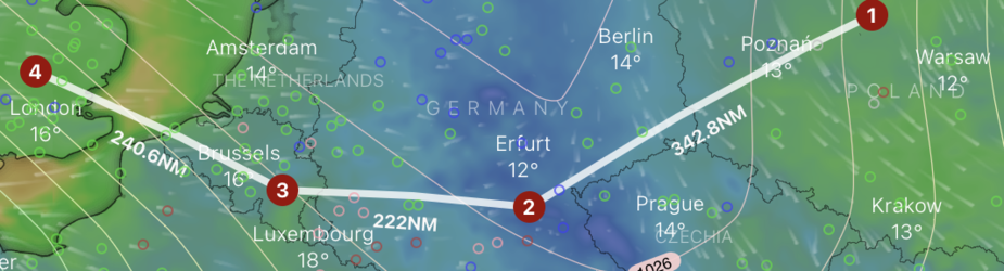
Ah yes; found it. The value in the speed box sets the spacing between them
Still very hard to interpret. Only the VFR option shows where IMC is, AFAICT.
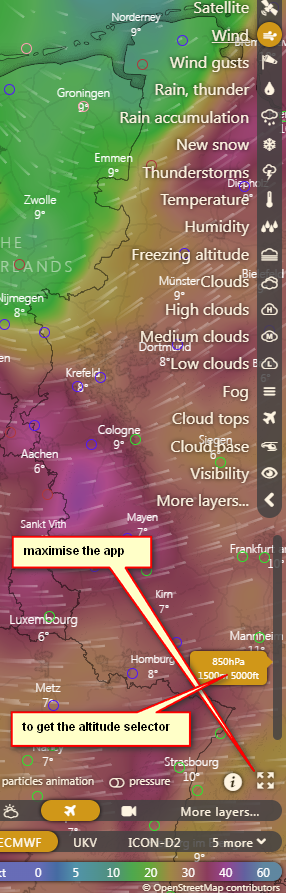
Has anyone solved this: On a laptop (1920×1080 win10) I have to maximise the app to get the wind selector
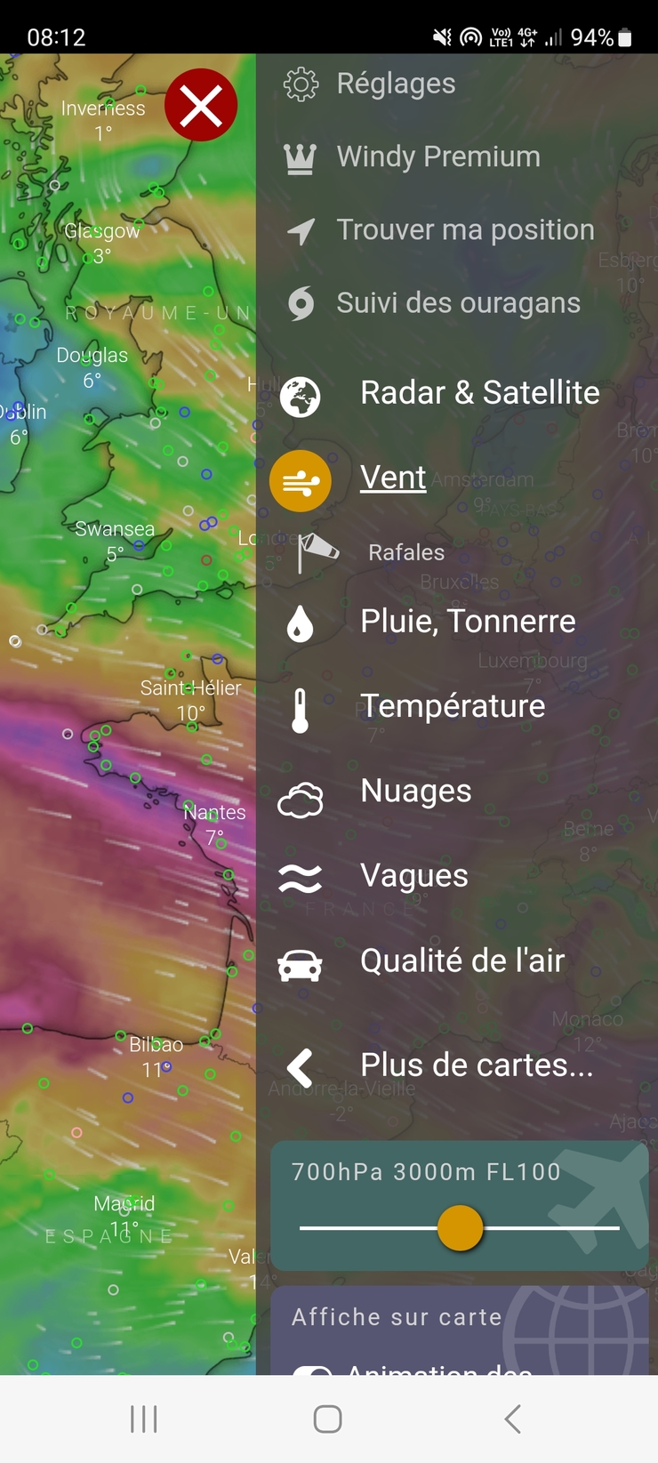
On my phone, Samsung S10E, I cannot get the wind selector to show at all.
It’s here? horizontal selector
What do you think of Windy’s competitor Ventusky? On the surface they seem pretty much the same to me (apart from a few cosmetic differences.)
Did someone compare the two? Any winner here in terms of functionality?