chflyer wrote:
LFST RNP RWY 05
LFST RNP RWY 23
Thanks.
LSMD RNP X RWY 29
LSMD RNP Y RWY 29
Don’t seem to be in the civil AIP.
Airborne_Again wrote:
Don’t seem to be in the civil AIP
Correct. It is in the Jepp Military supplement though. PM me if you want to know more about why this is of interest.
Hi FF team, i’m bringing this topic back because I had an improvement idea. Planning a flight with PBN arrival, we usually have a look at https://augur.eurocontrol.int/status/ in order to check planned GPS outage, in addition to RAIM functionality once in the air. I think EFBs ccould easily bring this functionality into the pack/briefing page with a bit of scripting.
I wonder when there will be any progress on the handling of VRP names in the pilot log – they are still getting random names – VPxx.
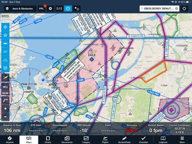
Is it possible to show IFR points that are not intersections?
I am really trying to like FF but have a problem. Although we fly VFR we use IFR reporting points because they are in the 430. Planning is done on an iPad. Sky Demon shows many more points than Foreflight – is this something in the settings I am missing or a limitation of Foreflight.
It is also interesting that FF is still showing PAM as a VOR when it is now only a DME
Any suggestions welcome
I found the same (missing points) but up to now it didn’t bother my flying so I didn’t report that to FF. Regarding navigational aids, DME LUK in Croatia (part of ILS 22 approach at LDZA) doesn’t exist at all at FF map.
Perhaps @Josh_Tahmasebi_ForeFlight is still following this thread and will respond otherwise I will contact support
On a completely separate note, can you let us know what settings you are using for your map in FF as I like the look and feel?
I am not able to get the nice light grey landmass colouring that you have got, it is more of a green/greyish colour:
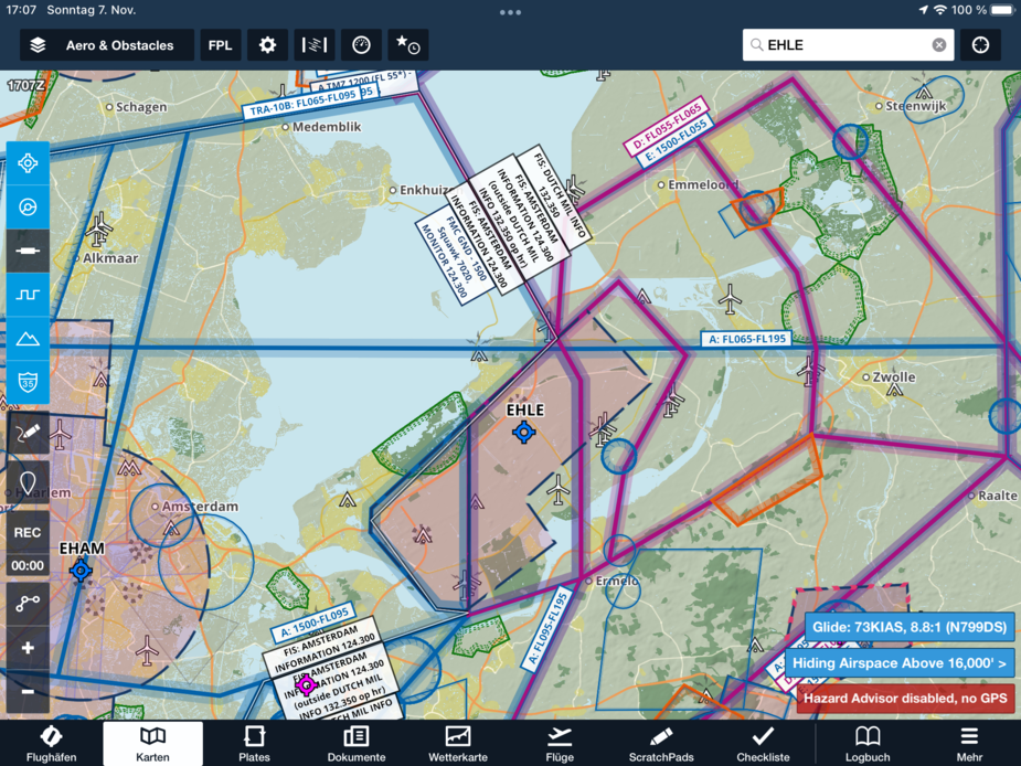
Aeronautical and Street Map. It looks as though the colours on the iPad actually differ from the screen shot – greens on the iPad are more like lime and the blue water is a stronger blue
Emir wrote:
I found the same (missing points) but up to now it didn’t bother my flying so I didn’t report that to FF. Regarding navigational aids, DME LUK in Croatia (part of ILS 22 approach at LDZA) doesn’t exist at all at FF map.
That is quite disturbing, I have checked it, indeed. It is on the Low/high IFR map, though, but not as a point in FF.
I was expecting that for the subscription I pay, they will match the actual government data with FF database. Disappointing.