
That suggests too he was using the SIA chart and set 1013.
I don’t get that. The SIA chart is a 1 Million scale, which I don’t think many people use for anything other than an airspace overview. You’re always going to be limited to how much info can be put on a 1 M scale chart. If I remember correctly that chart only shows the airspace class, and not the vertical extent of airspace, as there simply isn’t enough room. (Or perhaps they don’t show the vertical extent for the military airspace..I can’t remember which).
I can’t imagine too many people using it for terrain avoidance, nor airspace planning…..just using it as an overview while having more detailed info available for reference. Certainly it would be impossible to use this chart for terrain planning as there are no contours shown and very few peaks.
Peter wrote:
And FR24 shows him at 6500ft but actually since FR24 doesn’t know the QNH that “altitude” is actually a flight level, for all FR24 traffic.That suggests too he was using the SIA chart and set 1013.
Maybe. But then, the SIA chart is a VFR chart. It should only be used in visual flying conditions. Nobody flies into a mountain that he can see (= visual conditions), apart from this Germanwings FO last year, but from what I know (just today I flew with an FO who had flown with the accident pilot in a previous job) we can exclude this cause here. Which leaves four possibilities: They did not have visual conditions – or no visual conditions straight ahead, sometimes ground contact to the side and below can be treacherous – but descended anyway due to an error in judgement or navigation; they were incapacitated by hypoxia or CO poisoning; they had a technical problem, either engine or naviagtion equipment related; or they encountered some meteorological phenomenon like a rotor which overpowered their airplane. Let’s hope that the cause can be determined by the investigation.
I would not rule out a rotor, but I consider it unlikely that the conditions were bad enough to bring down a TB20 at cruise speed. If there was any considerable wind at all it would have come from the southeast, the plane would have crossed a rotor on a perpendicular track, e.g. very quickly.
A CFIT seems to be what happened, the question only remains why. VFR in IMC seems to be high on the list, and I know that experienced people sometimes do silly stuff, be it due to optical illusions or ignorance. I´ve done it myself, as I have written in another thread. Soaring legends have crashed their gliders thinking they could just make it across the next ridge in VIMC. People have flown into the top 10ft of the only high ground antenna around in all of Northern Germany, but right on track! Professional pilots crashed on a hill doing a visual approach into a field for which they had just calibrated an instrument procedure for a couple of hours.
But it could also have been as simple a reason as being on the wrong tank at a bad time and the engine taking just a little bit too long to catch again.
A lot of speculation and we might not ever get to know the actual reason for this sad accident, but we still have something to learn I think:
-Going into (unfamiliar?) mountainous areas plan as accurately as possible, don´t plan for the shortest way and try to arrange for Plan B and C while sitting at your desk.
-Especially when going IFR into a VFR field take care to plan for the VFR part in difficult areas.
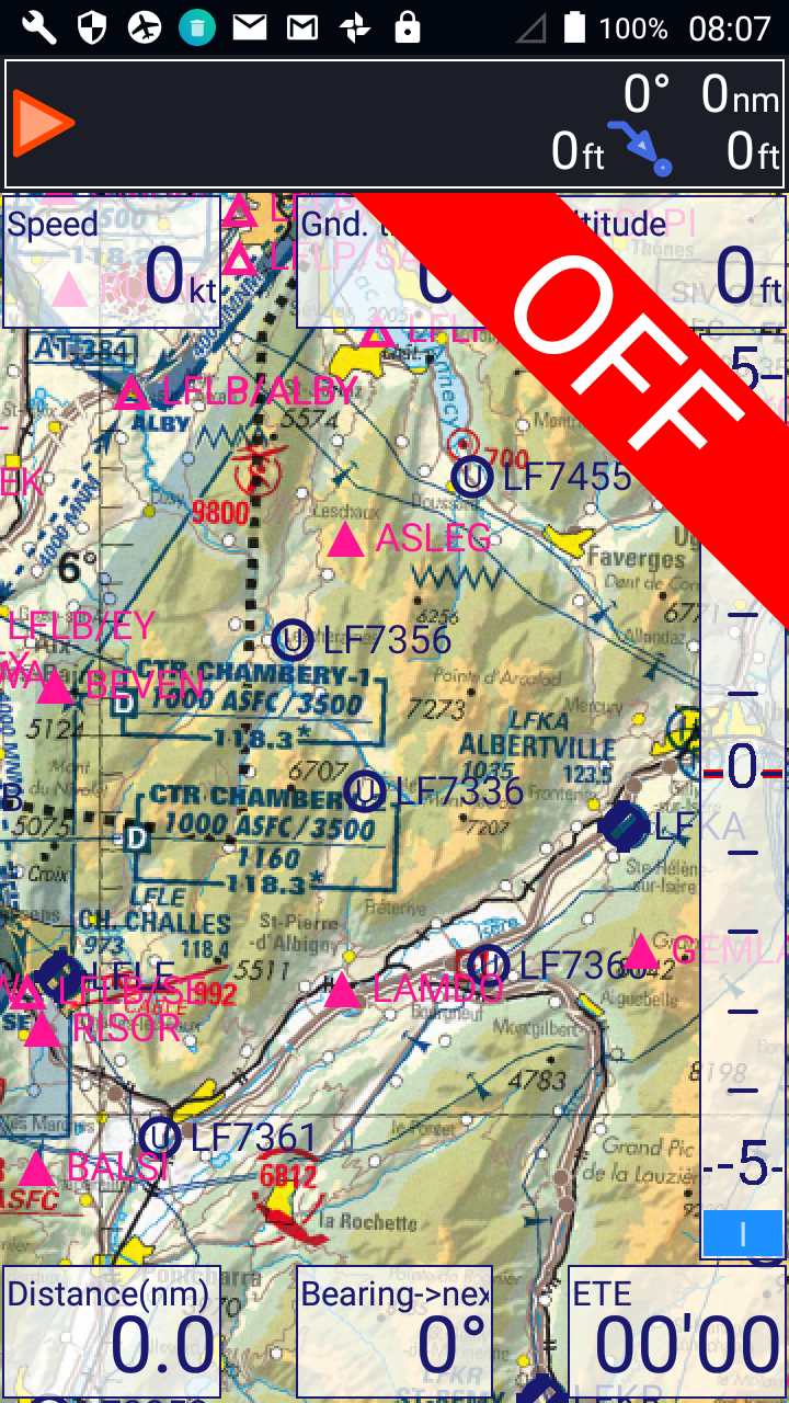
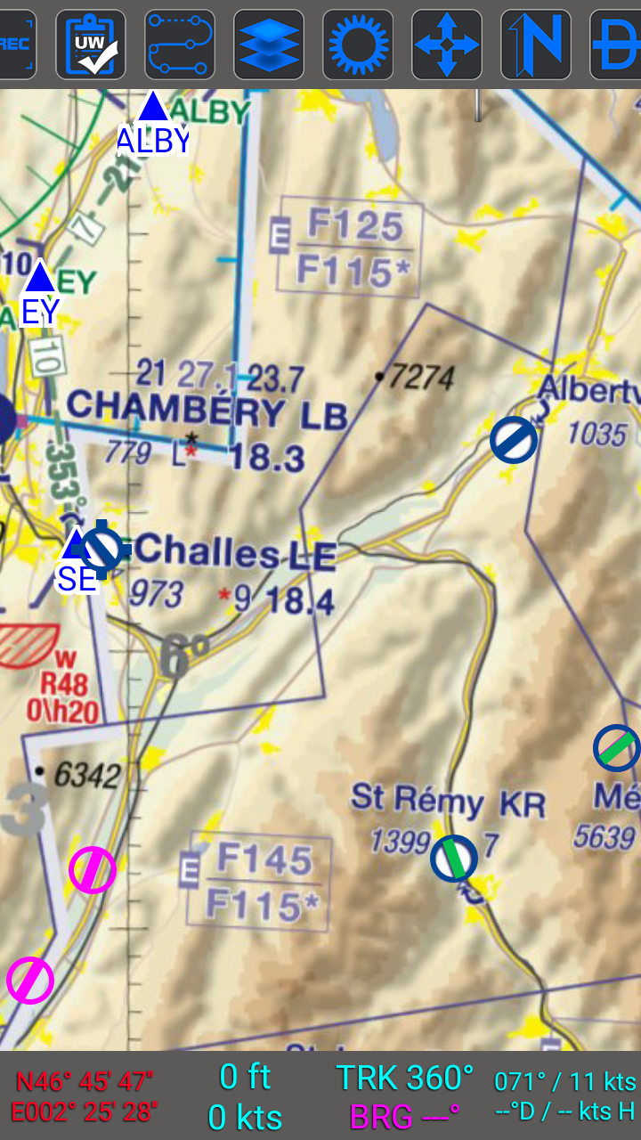
-Use all available information, even if it was from an uncertified Ipad running Skydemon or whatever else.
-Be more conservative in the mountains, they are more dangerous than flying in the flatlands, the ground can be close!
Regarding the TA on the map: it´ certainly not necessary and distracting and should be left away. It might have been one of the holes lining up.
Flyingfish wrote:
I still think that the poor pilot died before even realising what was happening. With his level of experience I find it hard to imagine that he intentionally got himself into a terrain structure he was not 100% sure about in IMC. I think he got smashed down from what he thought was a safe altitude.
I think this reaction is natural and one we all find more appealing. Good pilot, one of those things, nothing he could have done. Sadly I think good experienced pilots still get themselves into situations they haven’t properly prepared for. I know I do once in a while as must others with far more skill and experience than I have. Usually that leads to no real consequences but here it may have when combined with mountains and some weather. Particularly if you have removed other protections like flying IFR all the way in the system.
I think a VFR sector at the end if an IFR flight is very challenging as you to have to switch to a different way of operating.
Very sorry to hear about this tragic accident, according to the local paper the aircraft hit a cliff face at speed and fell 200 m. It took radioamateurs some time to locate the ELT as it was shielded by terrain and the violent collision caused much damage. The wreckage was found at the East face suggesting that they turned round.
I attach a picture of the valley.

It is mentioned on the LFKA VAC that you need a mountain rating or instructor authorisation to use the airfield.
Simon
JasonC wrote:
Sadly I think good experienced pilots still get themselves into situations they haven’t properly prepared for. I know I do once in a while as must others with far more skill and experience than I have. Usually that leads to no real consequences but here it may have when combined with mountains and some weather.
I M H O, this is THE BIGGEST conundrum in gaining Piloting experience :
The more we “push the envelope” , the bolder we become, “done that – got that T-shirt” attitude.
That is, until you get the living sh!t scared out of you, read: you went too far and survived, so you prob 99% won’t try THAT again.
OTH, if the outcome is positive and didn’t result in a near-death situation (perceived that is, since often we have no idea just “how close” it really was…) then we tend to carry on and repeat same.
As Jason says, IFR with a VFR destination requires a chance of methods.
Lots of IR holders get killed doing this, most notably bizjet pilots doing all kinds of stuff from “stuff which should work if done right” (descending into Samedan in IMC) to “stuff which cannot possibly work” like this
However the above are DIY approaches. I am sure Stefan would not have flown a DIY approach in the traditional sense. What seems to have happened here is that he was heading towards the general area of the destination airport and hit a rock (pretty obviously IMHO in IMC, and why he was at c. 6500ft is the big question here) on his way.
Was Albertville VMC at the time or, if it was, could he have known it? I am sure he had no satcomms or even a way to get wx over a normal phone (which tends to sort-of work often enough, especially near mountains when you get a good signal due to the high-up towers).
Going to a VFR-only airport is not pushing the envelope. You have to fly there using normal IFR procedures (which will ensure obstacle clearance) and if covered in cloud you have to divert.
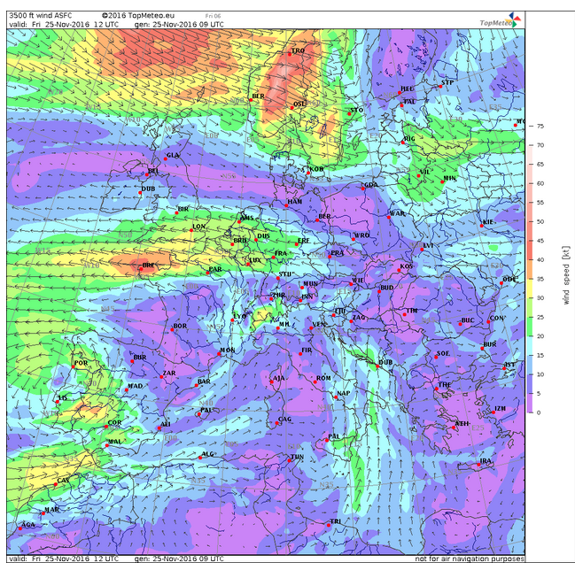
One factor that might be relevant to the 6500ft choice is that Stefan did fly through frontal wx, below the 0C level. He specifically said it is OK if below the 0C level. He had a stormscope and presumably a good ability to access the wx situation to check the likelihood of embedded TS. (I don’t do this myself). When approaching the destination area, he would have most definitely seen the wx accumulation which the earlier-posted wx radar image shows (the IR image posted suggests tops > FL200) and might have chosen to penetrate that specifically below the 0C. And I think the “6500” figure on the French SIA chart was the final hole in the cheese.
I am sure the BEA will determine the track of the aircraft, but looking at the FR24 track and the site of the accident it looks as though they decided to thread their way to LFKA via the NE end of the valley and were prevented by weather so turned round. The better choice might have been to descend to Chambéry and come in from the SW. I have not been to Albertville, but I have flown out of Chambéry and the terrain is forbidding outside the valleys.
I doubt if they would have flown directly over the Massif des Bauges as the 1:500,000 and popular CartaBossy 1 mil show an elevation >7000’
Simon
Peter wrote:
When approaching the destination area, he would have most definitely seen the wx accumulation which the earlier-posted wx radar image shows (the IR image posted suggests tops > FL200) and might have chosen to penetrate that specifically below the 0C. And I think the “6500” figure on the French SIA chart was the final hole in the cheese
“Penetrating frontal weather” in the Alps at 6’500ft while flying VFR? Surely you jest.
My takeaway here, based on Peter’s comment that he was a “Jet pilot” and only believed in panel-mounted electronic guidance, is the stupidity of refusing to use an iPad running SD or similar with a clear view of your track and a forward looking profile showing terrain…


