Because you are showing the Vertical Management Strip I assume you are using the Pro Plus package and NOT the Basic one?
Thanks Snoopy!
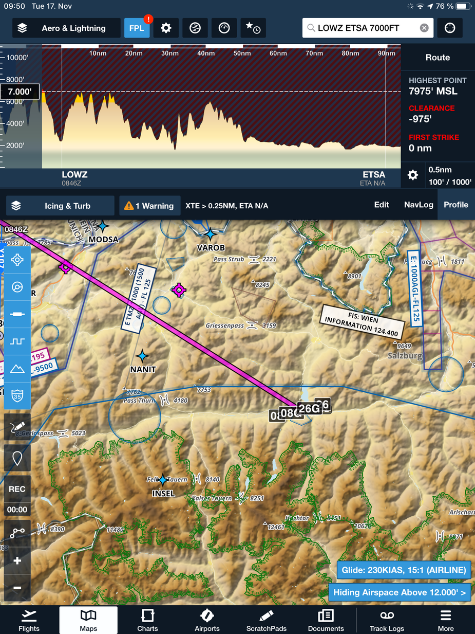
The basemap indeed does look a bit better, but still – for VFR I would really like to see some more geographical details like villages, streets, railroads, etc.
What do you think?
Peter_G wrote:
Because you are showing the Vertical Management Strip I assume you are using the Pro Plus package and NOT the Basic one?
I use performance plus. I don’t think it makes a difference for these map layers though.
Hi @Supersonic and thanks @Snoopy for posting,
Just to hop in for a moment. The Street and Aerial layers already existed within ForeFlight mobile, but they are just slight updates to what was there before and are really only available when connected to data. In contrast, the base map is something you are able to download and have with you for the whole flight – in this release we’ve added more peak markers after we received feedback about needing more information in mountainous regions.
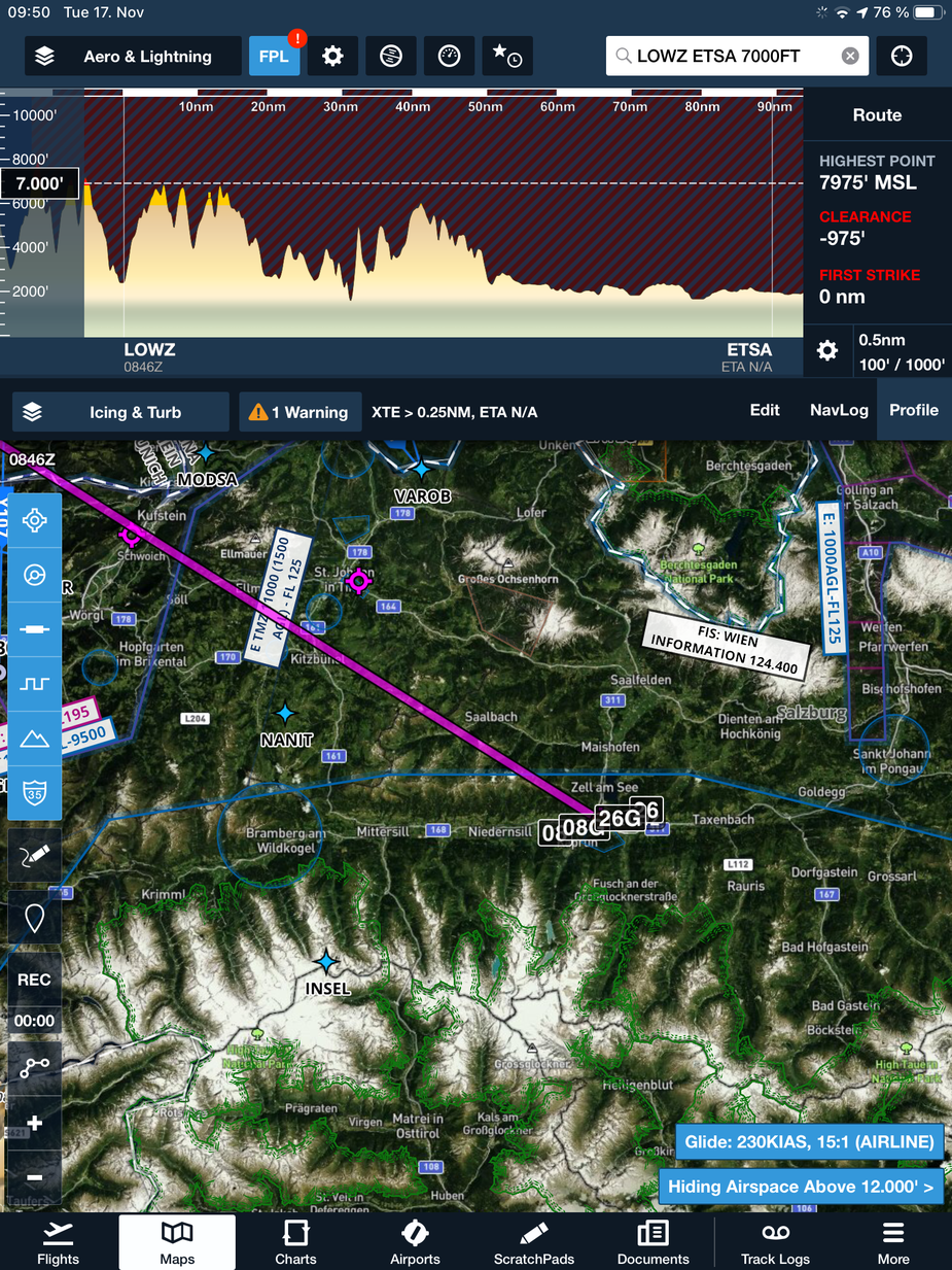
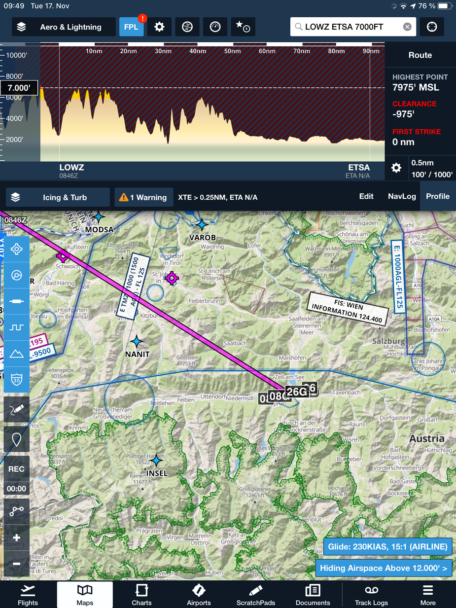
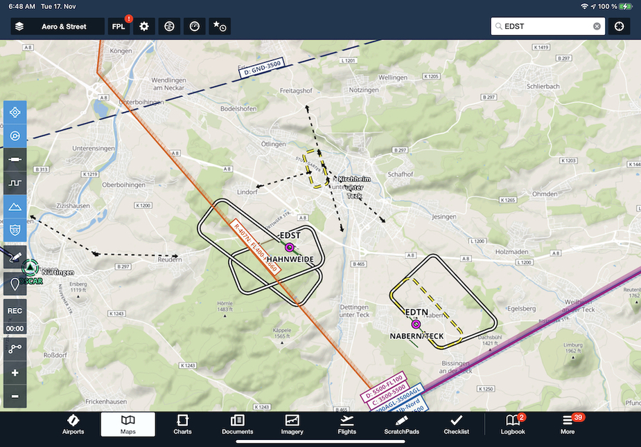
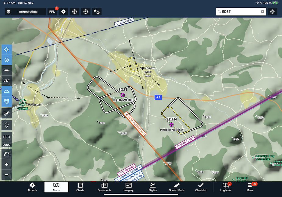
As far as other base map goers, we are continuing to work on place labels like villages, water bodies, etc. that will help provide more of that basemap context you are looking for – more similar to the streetmap which provides this today. We do have roads and railroads already, however I can see that rail could stand to show up sooner and we can look into improving that further. I wanted to attach some more zoomed in photos to show the area around EDST for context.
We have continuous plans for improving the base map, so if you have feedback or questions please post here and I’ll get back to you.
All the best,
Josh
Nice, great update! As written in my feedback to foreflight via mail, it would be good to get quadrants of max elevation figures (compare with Jepp VFR layer).
Josh_Tahmasebi_ForeFlight wrote:
As far as other base map goers, we are continuing to work on place labels like villages, water bodies, etc. that will help provide more of that basemap context you are looking for – more similar to the streetmap which provides this today. We do have roads and railroads already, however I can see that rail could stand to show up sooner and we can look into improving that further.
Thank you for the “local” insight into your map ;-)
I am very much looking forward to seeing the execution of your plans. Making the basemap looking more like the streetmap would be a huge step.
One other area of improvement for the existing map might be to redesign the level of detail that is displayed on a certain zoom level. I assume that for US pilots all those small villages are rather unimportant. But in densely populated Europe it might make sense to show smaller towns and roads at an earlier scale.
BTW web version now offers pretty similar UX for those who want to perform flight planning at desktop rather than with mobile application.
A bit off-topic, but can we expect a MacOS client of FF now that Mac hw is moving towards their own silicon, making app development for all platforms easier? (according to sales pitch)
martin-esmi wrote:
A bit off-topic, but can we expect a MacOS client of FF now that Mac hw is moving towards their own silicon, making app development for all platforms easier? (according to sales pitch)
Do we really need such software? I mean, I use Mac but I never thought about using it in cockpit and for desktop use web app is pretty ok. TBH I never used web app for real – I just checked the features. IMHO iPad app is totally sufficient.