Sebastian,
is there a chance we will see radar coverage for Croatia, maye Greece, one day? Does the data exist?
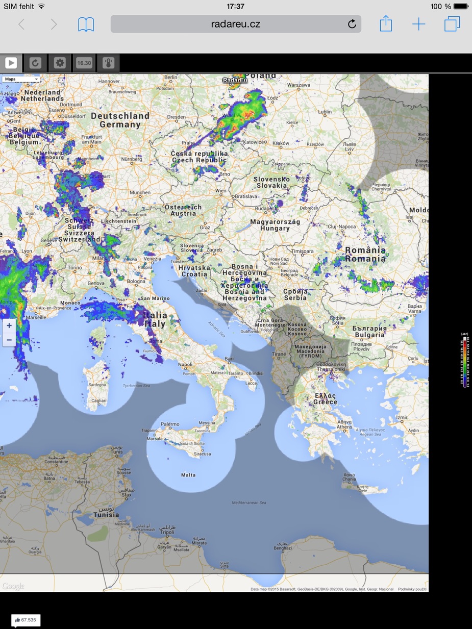
Most of the radar data exists. But as we can see from the image boscomantico posted the Croatian coast that many are especially interested in is not properly covered. Croatia only operates two radar sites at Bilgora and Osijek which are both in the west. In order to use the images legally their price list shows 14400 Euro per month…
Sebastian_G wrote:
Osijek which are both in the west
Osijek in the west? Last time I was there it was pretty much as east as you can get in Croatia…
In order to use the images legally their price list shows 14400 Euro per month…
Of course that is too much money,.. but maybe there could be a deal made like you have with Iridium/trop kits etc.? If you need somebody to negotiate this, I speak the language (and of course Emir speaks it much better).
I think it would be worth of try contacting them for lower fee. If I can help, just let me know.
PetitCessnaVoyageur wrote:
How do professional pilots recognize thunderstorm ?
Sorry for the late reply…
Commercial radars are effective out to about 200 nm, so if there’s any weather around most pilots will select a range of 160 nm on the Nav Display (Airbus). The tilt of the radar is adjusted (manually or automatically) so that radar ground returns appear on the ND in the top third of the screen (100 nm+). The tilt angle will usually be between 1 and 2 degrees down.
Thunderstorms/weather shows up in a similar way to the ADL images below. Beyond 100nm they mix in with the ground returns, but, if the tilt is adjusted correctly, inside 100 nm the ground returns disappear and only the weather shows up. We then start planning to avoid anything that is painting within 40nm or so because it will be at our level.
Of course, at cruising levels of FL300 and above, we are usually VMC and can see the storms ahead. “A peep is worth a thousand sweeps.”
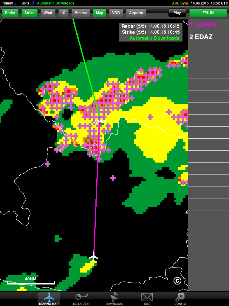
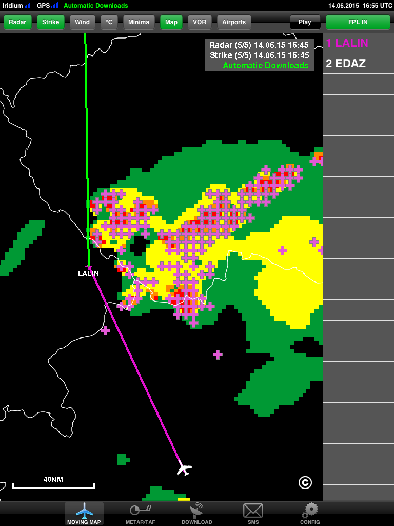
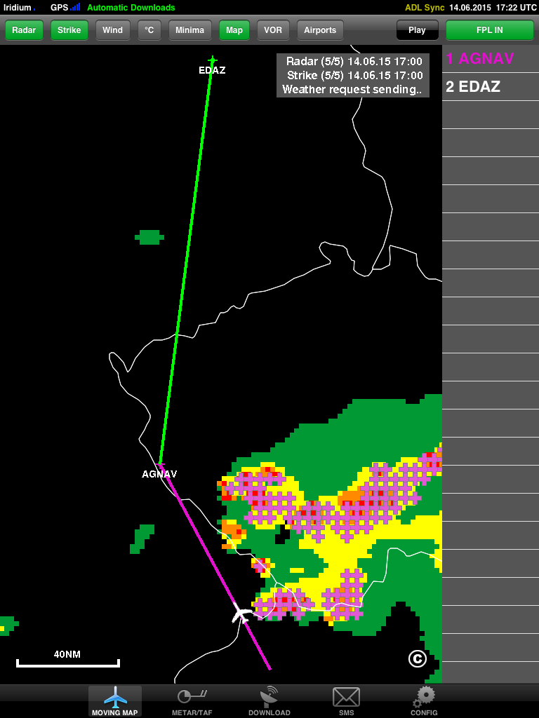
This weekend I had to use my own invention several times. Here are few screenshots I took on the way from Croatia to Berlin:
Initially ATC wanted us to go to LUPEV:
We asked for a rerouting to the west and they gave us LALIN which looked much nicer:
Later on we got AGNAV which was sufficient to get around the weather.
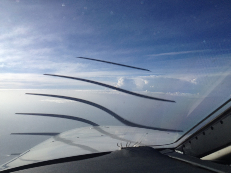
Cockpit view from FL200 with the weather on the right side
Sebastian_G wrote:
This weekend I had to use my own invention several times.
Don’t you have an onboard weather radar in your PA46? I guess in the scenario above there is not much added value in the sat weather other that you can see what is “behind” a CB?
LUPEV really looked like a bad destination :-)
When i don’t fly i lately practice interpreting the ADL images with internet downloads to my iphone. I think the images are really very precise. Sometimes i use it in the car, and i can really predict very well when i will drive into the rain shower …